

How to get from Johnston Regional (airport) (North Carolina) to Charleston (South Carolina)
Calculate route from Johnston Regional (airport) (North Carolina, United States) to Charleston (South Carolina, United States).
The flight distance (as the crow flies) between Johnston Regional (airport) and Charleston is 338.2 km.
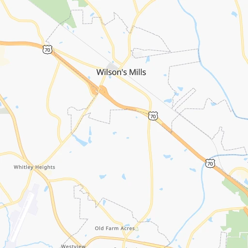
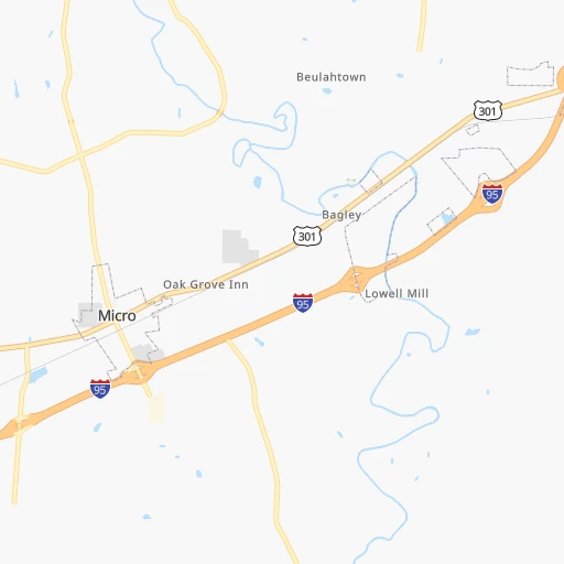
Roadmap (route) to go from Johnston Regional Airport to Charleston detailed above, you can also see the course layout on the map.
While doing trip Johnston Regional (airport) - Charleston by car, the calculated route ends at a distance , or more straight.
Distance and duration of the route between Johnston Regional (airport) and Charleston
Calculation of distance and route from Charleston to Johnston Regional (airport) :
338.2376.6 km5h56mn
Continue 0h1mn 369 mTurn left onto Swift Creek Road 0h4mn 4.9 kmTurn right onto NC 210 0h1mn 1.5 kmTurn left onto Black Creek Road 0h5mn 6.6 kmTurn right onto Elevation Road 0h1mn 1.8 kmTurn left onto Gum Swamp Road 0h1mn 1.8 kmTurn right onto Old School Road 0h2mn 2.0 kmTurn left onto Raleigh Road 0h3mn 4.1 kmTurn right onto US 301 0h3mn 3.4 kmTurn left onto North Honeycutt Street 0h2mn 2.2 kmTurn right onto East Church Street 0h0mn 62 mTurn left onto Fayetteville Street 0h0mn 119 mTurn left onto East Main Street 0h0mn 72 mTurn right 0h25mn 38.9 kmKeep left onto I 95 1h35mn 56.8 kmKeep right and take NC 211 toward Lumberton, Red Springs 0h0mn 280 mTurn left onto North Roberts Avenue 0h1mn 857 mKeep right 0h0mn 189 mTurn slight right onto North Elm Street 0h2mn 2.1 kmTurn right onto West Elizabethtown Road 0h0mn 115 mAt roundabout, take exit 2 onto North Water Street 0h0mn 182 mTurn right onto West 5th Street 0h0mn 288 mTurn left onto Apple Street 0h15mn 16.5 kmKeep left onto South Walnut Street 0h2mn 2.0 kmTurn slight left onto Lake View Road 0h14mn 17.1 kmKeep right onto Richard Temple Boulevard 0h12mn 11.9 kmTurn left onto State Highway 41 0h28mn 33.2 kmTurn left onto State Highway 41 (Alt) 0h11mn 13.8 kmTurn right onto Highway 378 0h5mn 6.3 kmTurn left onto Kingsburg Highway 1h42mn 50.7 kmKeep right onto SC 41 0h6mn 6.8 kmTurn right onto County Line Road 0h14mn 18.2 kmContinue onto SC 41 1h34mn 43.1 kmTurn left onto SC 41 0h8mn 8.9 kmKeep right 0h14mn 15.6 kmKeep right and drive toward Morrison Drive, East Bay Street 0h0mn 436 mTurn left onto Morrison Drive 0h0mn 95 mTurn sharp right onto Huger Street 0h0mn 392 mTurn left onto Meeting Street 0h3mn 3.2 kmTurn left onto Broad Street 0h0mn 12 mArrive at destination 0h0mn 0 m
Travel from Johnston Regional (airport) (South Carolina) to a selection of major cities.
Distances from Johnston Regional Airport to biggest cities in North Carolina
- Kannapolis,46,144 inhabitants.202 km
- Apex,45,585 inhabitants.47 km
- Hickory,40,374 inhabitants.268 km
- Wake Forest,38,199 inhabitants.50 km
- Indian Trail,37,073 inhabitants.213 km
- Mooresville,36,009 inhabitants.219 km
- Goldsboro,35,826 inhabitants.40 km
- Monroe,34,623 inhabitants.206 km
- Salisbury,34,017 inhabitants.189 km
- Holly Springs,31,377 inhabitants.42 km
- Matthews,30,678 inhabitants.217 km
- New Bern,30,070 inhabitants.132 km
- Fort Bragg,29,183 inhabitants.71 km
- Sanford,29,144 inhabitants.72 km
- Cornelius,28,092 inhabitants.224 km
- Garner,28,053 inhabitants.28 km
- Thomasville,27,061 inhabitants.157 km
- Statesville,26,221 inhabitants.227 km
- Asheboro,26,103 inhabitants.130 km
- Mint Hill,25,627 inhabitants.209 km
Other major cities in country :
- Seattle [WA], 684,451 inhabitants. 3,838 km
- Denver [CO], 682,545 inhabitants. 2,381 km
- El Paso [TX], 681,124 inhabitants. 2,628 km
- Detroit [MI], 677,116 inhabitants. 856 km
- Boston [MA], 667,137 inhabitants. 989 km
- Memphis [TN], 655,770 inhabitants. 1,059 km
- New South Memphis [TN], 641,608 inhabitants. 1,060 km
- Portland [OR], 632,309 inhabitants. 3,854 km
- Oklahoma City [OK], 631,346 inhabitants. 1,730 km
- Las Vegas [NV], 623,747 inhabitants. 3,296 km
- Baltimore [MD], 621,849 inhabitants. 446 km
- Washington, D.C. [DC], 601,723 inhabitants. 392 km
- Milwaukee [WI], 600,155 inhabitants. 1,168 km
- South Boston [MA], 571,281 inhabitants. 987 km
- Albuquerque [NM], 559,121 inhabitants. 2,559 km
- Tucson [AZ], 531,641 inhabitants. 3,016 km
- Nashville [TN], 530,852 inhabitants. 760 km
- Fresno [CA], 520,052 inhabitants. 3,693 km
- Sacramento [CA], 490,712 inhabitants. 3,809 km
- Kansas City [MO], 475,378 inhabitants. 1,484 km
Route from Charleston to major cities (United States).
- Distance Charleston New York City1,029 km
- Distance Charleston Los Angeles3,542 km
- Distance Charleston Chicago1,218 km
- Distance Charleston Brooklyn1,026 km
- Distance Charleston Houston1,505 km
- Distance Charleston Queens1,034 km
- Distance Charleston Philadelphia906 km
- Distance Charleston Phoenix2,986 km
- Distance Charleston Manhattan1,037 km
- Distance Charleston San Antonio1,806 km
- Distance Charleston San Diego3,468 km
- Distance Charleston The Bronx1,048 km
- Distance Charleston Dallas1,578 km
- Distance Charleston San Jose3,826 km
- Distance Charleston Austin1,711 km
- Distance Charleston Jacksonville317 km
- Distance Charleston San Francisco3,868 km
- Distance Charleston Columbus846 km
- Distance Charleston Fort Worth1,626 km
- Distance Charleston Indianapolis958 km
Nearest cities to Johnston Regional (airport) :
- Charlotte, 827,097 inhabitants. 225 km
- Virginia Beach, 452,745 inhabitants. 261 km
- Raleigh, 451,066 inhabitants. 34 km
- West Raleigh, 338,759 inhabitants. 37 km
- Greensboro, 285,342 inhabitants. 139 km
- Durham, 257,636 inhabitants. 68 km
- Norfolk, 246,393 inhabitants. 239 km
- Winston-Salem, 241,218 inhabitants. 178 km
- Chesapeake, 235,429 inhabitants. 238 km
- Richmond, 220,289 inhabitants. 239 km
- Fayetteville, 201,963 inhabitants. 70 km
- Newport News, 182,385 inhabitants. 243 km
- Cary, 159,769 inhabitants. 45 km
- East Hampton, 147,993 inhabitants. 249 km
- Hampton, 136,454 inhabitants. 247 km
- Columbia, 133,803 inhabitants. 296 km
- Charleston, 132,609 inhabitants. 339 km
- Wilmington, 115,933 inhabitants. 152 km
- High Point, 110,268 inhabitants. 153 km
- North Charleston, 108,304 inhabitants. 333 km
- Roanoke, 99,897 inhabitants. 237 km
- Portsmouth Heights, 99,049 inhabitants. 231 km
- Portsmouth, 96,201 inhabitants. 237 km
- Greenville, 90,597 inhabitants. 93 km
- Suffolk, 88,161 inhabitants. 209 km
- Concord, 87,696 inhabitants. 199 km
- Mount Pleasant, 81,317 inhabitants. 334 km
- South Suffolk, 80,690 inhabitants. 208 km
- Lynchburg, 79,812 inhabitants. 219 km
- Gastonia, 74,543 inhabitants. 255 km
- Rock Hill, 71,548 inhabitants. 249 km
- Jacksonville, 67,357 inhabitants. 124 km
- West Lynchburg, 65,517 inhabitants. 219 km
- Chapel Hill, 59,568 inhabitants. 73 km
- Rocky Mount, 55,806 inhabitants. 70 km
- Huntersville, 52,704 inhabitants. 223 km
- Harrisonburg, 52,538 inhabitants. 326 km
- Burlington, 52,472 inhabitants. 113 km
- Wilson, 49,643 inhabitants. 48 km
- Summerville, 48,848 inhabitants. 325 km
- Charlottesville, 46,597 inhabitants. 277 km
- Kannapolis, 46,144 inhabitants. 202 km
- Apex, 45,585 inhabitants. 47 km
- Tuckahoe, 44,990 inhabitants. 240 km
- Blacksburg, 44,215 inhabitants. 261 km
- Danville, 42,082 inhabitants. 147 km
- Sumter, 40,816 inhabitants. 254 km
- Goose Creek, 40,633 inhabitants. 322 km
- Hickory, 40,374 inhabitants. 268 km
- Florence, 38,228 inhabitants. 195 km
Location Johnston Regional (airport) (North Carolina) :
| Country flag |  |
| Location | Johnston Regional (airport) |
| State | North Carolina |
| County | Johnston County |
| Country | United States |
| Country code / ISO 2 | US |
| Latitude | 35.5414300 |
| Longitude | -78.3927600 |
| Altitude | 42 meters |
| Time zone | America/New_York |
Location Charleston (South Carolina) :
| Country flag | |
| Location | Charleston |
| State | South Carolina |
| County | Charleston County |
| Country | United States |
| Country code / ISO 2 | US |
| Latitude | 32.7765700 |
| Longitude | -79.9309200 |
| Altitude | 6 meters |
| Time zone | America/New_York |


