
How to get from Big Daddys (airport) (North Carolina) to Phoenix (Arizona)
Calculate route from Big Daddys (airport) (North Carolina, United States) to Phoenix (Arizona, United States).
The flight distance (as the crow flies) between Big Daddys (airport) and Phoenix is 3,123.4 km.
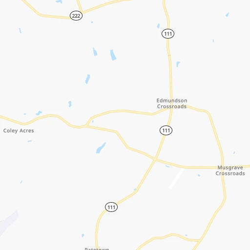
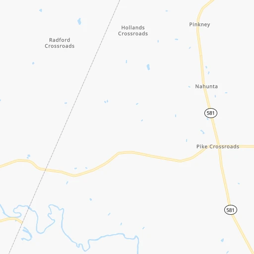
Roadmap (route) to go from Big Daddys Airport to Phoenix detailed above, you can also see the course layout on the map.
While doing trip Big Daddys (airport) - Phoenix by car, the calculated route ends at a distance , or more straight.
Distance and duration of the route between Big Daddys (airport) and Phoenix
An error occured: profile parameter required - for url https://route.cartes.cc/route?point=35.48544%2C-77.90082&point=33.44838%2C-112.07404&vehicle=car&debug=false&data_type=application%2Fjson&locale=en&points_encoded=true&instructions=true&elevation=false&optimize=false&timeout=10000&skip.host=true&skip.basePath=true&graphhopper_maps_host=https%3A%2F%2Fgraphhopper.com%2Fmaps%2F%3F&turn_sign_map.0=continue&turn_sign_map.1=turn%20slight%20right&turn_sign_map.2=turn%20right&turn_sign_map.3=turn%20sharp%20right&turn_sign_map.4=finish&turn_sign_map.5=reached%20via%20point&turn_sign_map.6=enter%20roundabout&turn_sign_map.-6=leave%20roundabout&turn_sign_map.-3=turn%20sharp%20left&turn_sign_map.-2=turn%20left&turn_sign_map.-1=turn%20slight%20left&key=&position=topleft
Calculation of distance and route from Phoenix to Big Daddys (airport) :
3,123.43,537.8 km37h46mn
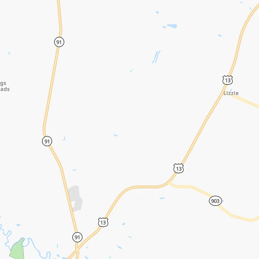
Continue onto Big Daddy's Road 0h3mn 4.3 kmTurn right onto Lancaster Road 0h2mn 1.0 kmTurn right onto Airport Road 0h2mn 827 mTurn left onto Norwayne School Road 0h3mn 3.7 kmTurn right onto South Green Street 0h0mn 208 mTurn left onto East Wayne Street 0h1mn 736 mTurn right onto South Wilson Street 0h0mn 292 mTurn left onto NC 222 0h23mn 27.8 kmTurn left onto NC 42, NC 222 0h0mn 89 mTurn right onto NC 222 0h1mn 1.4 kmTurn left onto Crockers Nub Road 0h1mn 1.6 kmTurn left onto Antioch Church Road 0h6mn 8.0 kmTurn slight right onto Thanksgiving Fire Road 0h2mn 2.1 kmContinue onto Applewhite Road 0h1mn 1.1 kmTurn left onto Old Johnson Road 0h2mn 2.8 kmTurn sharp left onto Lake Wendell Road 0h3mn 3.5 kmTurn right onto Buffalo Road 0h0mn 192 mTurn left onto Lake Wendell Road 0h3mn 4.6 kmTurn right onto Smithfield Road 0h5mn 5.2 kmTurn left 0h6mn 9.7 kmKeep right and take I-440 West, To US 1, US 64 Business East toward Wake Forest 0h8mn 11.4 kmKeep right and take US 70 West, NC 50 North toward Crabtree Valley, Durham, Glenwood Ave 0h19mn 22.1 kmTurn left onto Pleasant Drive 0h1mn 428 mTurn sharp right onto Lynn Road 0h0mn 95 mTurn left onto Midway Avenue 0h1mn 712 mTurn right onto Angier Avenue 0h1mn 934 mTurn left onto Ellis Road 0h0mn 56 mTurn right onto East Pettigrew Street 0h1mn 1.0 kmTurn sharp left onto Briggs Avenue 0h0mn 51 mKeep right toward Durham Freeway NC 147 North 1h50mn 76.4 kmKeep right onto I 40 0h8mn 12.3 kmKeep right onto I 40, US 220 0h14mn 20.2 kmKeep left onto I 40 and take I 40 West toward Winston-Salem, Statesville 0h18mn 28.9 kmKeep right and take US 421 toward Salem Parkway, Yadkinville 0h0mn 331 mKeep left and take US 421 North toward Yadkinville 1h28mn 127.4 kmTurn left onto Old East King Street 0h1mn 1.0 kmTurn left onto East King Street 0h2mn 1.6 kmContinue onto West King Street 0h11mn 10.2 kmKeep left 0h0mn 32 mTurn left onto US 321 0h0mn 54 mContinue onto US 321 1h35mn 38.1 kmTurn left onto US 321, SR 67 0h14mn 15.4 kmTurn right onto US 19E, US 321, SR 67 0h4mn 4.4 kmTurn left onto State Line Road 0h0mn 258 mTurn left onto Ruby Avenue 0h0mn 198 mTurn right onto Earl Avenue 0h1mn 624 mContinue onto Bob Little Road 0h3mn 2.8 kmTurn right onto Short Coal Chute Road 0h0mn 202 mContinue onto Gap Creek Road 0h3mn 2.8 kmTurn right onto Mary Patton Highway 0h0mn 214 mTurn left onto Gap Creek Road 0h0mn 390 mTurn left onto West G Street 0h0mn 330 mTurn left onto US 321, SR 67 0h4mn 6.2 kmKeep right 0h0mn 453 mTurn right onto Milligan Highway 0h2mn 2.2 kmContinue onto East Market Street 0h1mn 1.3 kmTurn slight right onto Delaware Street 0h0mn 14 mTurn left onto John Exum Parkway 0h0mn 106 mTurn slight right onto West Market Street 1h54mn 68.4 kmTurn left 1h14mn 121.8 kmKeep right onto I 40 and drive toward Nashville 2h27mn 248.8 kmKeep right onto I 40 and take I 24 West, I 40 West toward Nashville 0h3mn 3.4 kmKeep left onto I 40 and take I 40 West toward Huntsville, Memphis 0h2mn 3.0 kmKeep right and take US 70, US 70S, US 431 toward Broadway 0h1mn 1.1 kmTurn left onto Charlotte Avenue 0h5mn 4.6 kmTurn right onto 46th Avenue North 0h0mn 252 mTurn left onto Delaware Avenue 0h0mn 91 mKeep left toward I 40 West 3h6mn 311.7 kmContinue onto Sam Cooper Boulevard 0h4mn 5.6 kmKeep right and drive toward Highland Street 0h0mn 413 mKeep right 0h0mn 63 mTurn slight right onto North Highland Street 0h0mn 76 mTurn left onto Summer Avenue 0h9mn 8.5 kmTurn left onto North Danny Thomas Boulevard 0h0mn 350 mKeep right and take I 40 West toward Little Rock 0h10mn 14.2 kmKeep left onto I 40 7h45mn 712.2 kmKeep left onto Tinker Diagonal 0h14mn 21.1 kmContinue onto Crosstown Expressway and take I 235 North, US 77 North, I 40 West, US 270 West toward Oklahoma Health Center, State Capitol, Edmond, Amarillo 12h44mn 1,244.4 kmKeep right onto AZ 77 and take I 40 Business, AZ 77 South, AZ 377 South, US 180 East toward Show Low, Heber 0h1mn 587 mTurn left onto Navajo Boulevard 0h5mn 5.3 kmTurn right onto Heber Road 1h36mn 54.5 kmTurn right onto West 3rd Street North 0h9mn 11.0 kmTurn right onto Highway 260 1h2mn 85.2 kmTurn left onto South Beeline Highway 2h36mn 117.2 kmTurn sharp right onto East McDowell Road 0h12mn 12.9 kmTurn left onto Hohokam Expressway toward AZ 202 Loop West, AZ 143 South 0h0mn 229 mKeep right toward AZ 202 Loop West 0h3mn 4.8 kmKeep right and take I 10 East, AZ 51 North toward Tucson 0h0mn 320 mKeep left and take I 10 East toward Tucson 0h1mn 1.5 kmKeep right and drive toward Rental Car Return, Downtown, Cultural/Sports Facilities 0h0mn 369 mKeep right and drive toward Downtown, Cultural/Sports Facilities 0h2mn 2.3 kmKeep left onto East Washington Street 0h1mn 879 mContinue onto East Washington Street 0h0mn 215 mArrive at destination 0h0mn 0 m
Travel from Big Daddys (airport) (Arizona) to a selection of major cities.
Distances from Big Daddys Airport to biggest cities in North Carolina
- Kannapolis,46,144 inhabitants.247 km
- Apex,45,585 inhabitants.90 km
- Hickory,40,374 inhabitants.313 km
- Wake Forest,38,199 inhabitants.78 km
- Indian Trail,37,073 inhabitants.256 km
- Mooresville,36,009 inhabitants.264 km
- Goldsboro,35,826 inhabitants.14 km
- Monroe,34,623 inhabitants.247 km
- Salisbury,34,017 inhabitants.234 km
- Holly Springs,31,377 inhabitants.86 km
- Matthews,30,678 inhabitants.260 km
- New Bern,30,070 inhabitants.88 km
- Fort Bragg,29,183 inhabitants.108 km
- Sanford,29,144 inhabitants.116 km
- Cornelius,28,092 inhabitants.268 km
- Garner,28,053 inhabitants.69 km
- Thomasville,27,061 inhabitants.202 km
- Statesville,26,221 inhabitants.272 km
- Asheboro,26,103 inhabitants.175 km
- Mint Hill,25,627 inhabitants.252 km
Other major cities in country :
- Seattle [WA], 684,451 inhabitants. 3,878 km
- Denver [CO], 682,545 inhabitants. 2,425 km
- El Paso [TX], 681,124 inhabitants. 2,673 km
- Detroit [MI], 677,116 inhabitants. 882 km
- Boston [MA], 667,137 inhabitants. 967 km
- Memphis [TN], 655,770 inhabitants. 1,103 km
- New South Memphis [TN], 641,608 inhabitants. 1,105 km
- Portland [OR], 632,309 inhabitants. 3,896 km
- Oklahoma City [OK], 631,346 inhabitants. 1,775 km
- Las Vegas [NV], 623,747 inhabitants. 3,341 km
- Baltimore [MD], 621,849 inhabitants. 439 km
- Washington, D.C. [DC], 601,723 inhabitants. 387 km
- Milwaukee [WI], 600,155 inhabitants. 1,203 km
- South Boston [MA], 571,281 inhabitants. 965 km
- Albuquerque [NM], 559,121 inhabitants. 2,604 km
- Tucson [AZ], 531,641 inhabitants. 3,060 km
- Nashville [TN], 530,852 inhabitants. 805 km
- Fresno [CA], 520,052 inhabitants. 3,738 km
- Sacramento [CA], 490,712 inhabitants. 3,853 km
- Kansas City [MO], 475,378 inhabitants. 1,528 km
Route from Phoenix to major cities (United States).
- Distance Phoenix New York City3,448 km
- Distance Phoenix Los Angeles575 km
- Distance Phoenix Chicago2,337 km
- Distance Phoenix Brooklyn3,452 km
- Distance Phoenix Houston1,634 km
- Distance Phoenix Queens3,462 km
- Distance Phoenix Philadelphia3,348 km
- Distance Phoenix Manhattan3,451 km
- Distance Phoenix San Antonio1,364 km
- Distance Phoenix San Diego482 km
- Distance Phoenix The Bronx3,460 km
- Distance Phoenix Dallas1,424 km
- Distance Phoenix San Jose990 km
- Distance Phoenix Austin1,399 km
- Distance Phoenix Jacksonville2,886 km
- Distance Phoenix San Francisco1,052 km
- Distance Phoenix Columbus2,681 km
- Distance Phoenix Fort Worth1,377 km
- Distance Phoenix Indianapolis2,411 km
- Distance Phoenix Charlotte2,866 km
Nearest cities to Big Daddys (airport) :
- Charlotte, 827,097 inhabitants. 269 km
- Virginia Beach, 452,745 inhabitants. 230 km
- Raleigh, 451,066 inhabitants. 74 km
- West Raleigh, 338,759 inhabitants. 77 km
- Greensboro, 285,342 inhabitants. 183 km
- Durham, 257,636 inhabitants. 106 km
- Norfolk, 246,393 inhabitants. 210 km
- Winston-Salem, 241,218 inhabitants. 222 km
- Chesapeake, 235,429 inhabitants. 208 km
- Richmond, 220,289 inhabitants. 234 km
- Fayetteville, 201,963 inhabitants. 101 km
- Newport News, 182,385 inhabitants. 219 km
- Cary, 159,769 inhabitants. 87 km
- East Hampton, 147,993 inhabitants. 223 km
- Hampton, 136,454 inhabitants. 221 km
- Charleston, 132,609 inhabitants. 355 km
- Wilmington, 115,933 inhabitants. 140 km
- High Point, 110,268 inhabitants. 197 km
- North Charleston, 108,304 inhabitants. 350 km
- Roanoke, 99,897 inhabitants. 270 km
- Portsmouth Heights, 99,049 inhabitants. 203 km
- Portsmouth, 96,201 inhabitants. 208 km
- Greenville, 90,597 inhabitants. 50 km
- Suffolk, 88,161 inhabitants. 182 km
- Concord, 87,696 inhabitants. 243 km
- Mount Pleasant, 81,317 inhabitants. 350 km
- South Suffolk, 80,690 inhabitants. 181 km
- Lynchburg, 79,812 inhabitants. 242 km
- Jacksonville, 67,357 inhabitants. 92 km
- West Lynchburg, 65,517 inhabitants. 242 km
- Chapel Hill, 59,568 inhabitants. 115 km
- Rocky Mount, 55,806 inhabitants. 51 km
- Huntersville, 52,704 inhabitants. 267 km
- Harrisonburg, 52,538 inhabitants. 341 km
- Burlington, 52,472 inhabitants. 155 km
- Wilson, 49,643 inhabitants. 26 km
- Summerville, 48,848 inhabitants. 345 km
- Charlottesville, 46,597 inhabitants. 288 km
- Kannapolis, 46,144 inhabitants. 247 km
- Apex, 45,585 inhabitants. 90 km
- Tuckahoe, 44,990 inhabitants. 236 km
- Blacksburg, 44,215 inhabitants. 297 km
- Danville, 42,082 inhabitants. 182 km
- Sumter, 40,816 inhabitants. 283 km
- Goose Creek, 40,633 inhabitants. 341 km
- Florence, 38,228 inhabitants. 223 km
- Wake Forest, 38,199 inhabitants. 78 km
- Indian Trail, 37,073 inhabitants. 256 km
- Mechanicsville, 36,348 inhabitants. 241 km
- Mooresville, 36,009 inhabitants. 264 km
Location Big Daddys (airport) (North Carolina) :
| Country flag |  |
| Location | Big Daddys (airport) |
| State | North Carolina |
| County | Wayne County |
| Country | United States |
| Country code / ISO 2 | US |
| Latitude | 35.4854400 |
| Longitude | -77.9008200 |
| Altitude | 37 meters |
| Time zone | America/New_York |
Location Phoenix (Arizona) :
| Country flag | |
| Location | Phoenix |
| State | Arizona |
| County | Maricopa County |
| Country | United States |
| Country code / ISO 2 | US |
| Latitude | 33.4483800 |
| Longitude | -112.0740400 |
| Altitude | 331 meters |
| Time zone | America/Phoenix |


