
How to get from Alexander County (airport) (North Carolina) to Stonecrest (Georgia)
Calculate route from Alexander County (airport) (North Carolina, United States) to Stonecrest (Georgia, United States).
The flight distance (as the crow flies) between Alexander County (airport) and Stonecrest is 362.5 km.
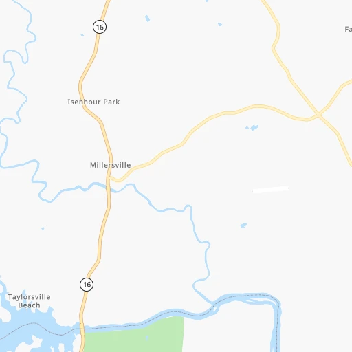
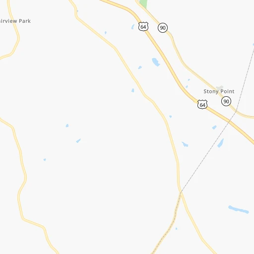
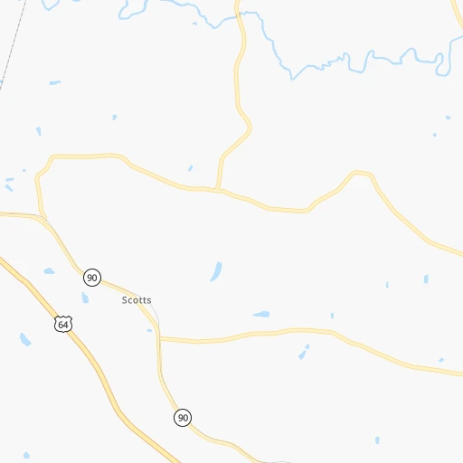
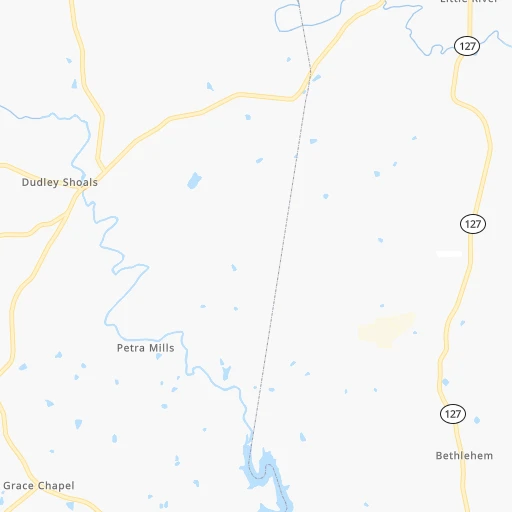
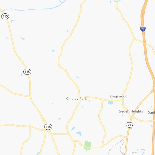
Roadmap (route) to go from Alexander County Airport to Stonecrest detailed above, you can also see the course layout on the map.
While doing trip Alexander County (airport) - Stonecrest by car, the calculated route ends at a distance , or more straight.
Distance and duration of the route between Alexander County (airport) and Stonecrest
Calculation of distance and route from Stonecrest to Alexander County (airport) :
362.5414.8 km5h8mn
Continue onto R and R Lane 0h0mn 71 mTurn left onto Paynes Dairy Road 0h4mn 1.9 kmTurn sharp left onto Millersville Road 0h6mn 4.9 kmTurn left onto NC 16 0h17mn 18.7 kmTurn slight right onto 1st Avenue South 0h0mn 141 mTurn slight right onto 1st Avenue South 0h1mn 469 mTurn right onto 7th Street Place Southwest 0h1mn 757 mContinue onto Northwest Boulevard 0h7mn 8.0 kmTurn right onto Rome Jones Road 0h3mn 3.2 kmContinue onto Sigmon Dairy Road 0h1mn 1.5 kmTurn right onto West Maiden Road 0h1mn 808 mTurn left onto Startown Road 0h11mn 14.1 kmTurn left onto Reepsville Road 0h1mn 1.2 kmTurn right onto West Main Street 0h1mn 846 mTurn left onto State Road 1407 0h24mn 27.5 kmAt roundabout, take exit 1 onto Cherryville Road 0h0mn 202 mAt roundabout, take exit 1 onto Cherryville Road 0h0mn 172 mAt roundabout, take exit 3 onto North Post Road 0h3mn 3.6 kmKeep right onto South Post Road 0h3mn 3.7 kmKeep right onto South Post Road toward NC 180 0h0mn 24 mTurn left onto South Post Road 0h4mn 4.1 kmKeep right onto South Post Road 0h4mn 4.2 kmTurn left onto South Lafayette Street 0h9mn 11.4 kmTurn right 0h0mn 15 mKeep right 3h38mn 250.5 kmKeep right and drive toward Hamilton Mill Road, Hamilton Mill Parkway 0h0mn 299 mTurn left onto Hamilton Mill Road 0h0mn 372 mKeep right 0h0mn 87 mContinue onto Braselton Highway 0h12mn 12.2 kmTurn left onto Buford Drive 0h4mn 4.4 kmKeep right 0h23mn 24.2 kmContinue onto Rock Chapel Road 0h3mn 3.3 kmKeep right 0h7mn 7.2 kmTurn right onto Hillandale Drive 0h1mn 719 mTurn right 0h0mn 117 mArrive at destination 0h0mn 0 m
Travel from Alexander County (airport) (Georgia) to a selection of major cities.
Distances from Alexander County Airport to biggest cities in North Carolina
- Kannapolis,46,144 inhabitants.62 km
- Apex,45,585 inhabitants.207 km
- Hickory,40,374 inhabitants.22 km
- Wake Forest,38,199 inhabitants.238 km
- Indian Trail,37,073 inhabitants.96 km
- Mooresville,36,009 inhabitants.42 km
- Goldsboro,35,826 inhabitants.289 km
- Monroe,34,623 inhabitants.110 km
- Salisbury,34,017 inhabitants.63 km
- Holly Springs,31,377 inhabitants.209 km
- Matthews,30,678 inhabitants.90 km
- New Bern,30,070 inhabitants.380 km
- Fort Bragg,29,183 inhabitants.209 km
- Sanford,29,144 inhabitants.182 km
- Cornelius,28,092 inhabitants.48 km
- Garner,28,053 inhabitants.229 km
- Thomasville,27,061 inhabitants.95 km
- Statesville,26,221 inhabitants.24 km
- Asheboro,26,103 inhabitants.121 km
- Mint Hill,25,627 inhabitants.87 km
Other major cities in country :
- Seattle [WA], 684,451 inhabitants. 3,613 km
- Denver [CO], 682,545 inhabitants. 2,135 km
- El Paso [TX], 681,124 inhabitants. 2,381 km
- Detroit [MI], 677,116 inhabitants. 740 km
- Boston [MA], 667,137 inhabitants. 1,131 km
- Memphis [TN], 655,770 inhabitants. 811 km
- New South Memphis [TN], 641,608 inhabitants. 813 km
- Portland [OR], 632,309 inhabitants. 3,623 km
- Oklahoma City [OK], 631,346 inhabitants. 1,480 km
- Las Vegas [NV], 623,747 inhabitants. 3,046 km
- Baltimore [MD], 621,849 inhabitants. 553 km
- Washington, D.C. [DC], 601,723 inhabitants. 496 km
- Milwaukee [WI], 600,155 inhabitants. 989 km
- South Boston [MA], 571,281 inhabitants. 1,130 km
- Albuquerque [NM], 559,121 inhabitants. 2,308 km
- Tucson [AZ], 531,641 inhabitants. 2,767 km
- Nashville [TN], 530,852 inhabitants. 509 km
- Fresno [CA], 520,052 inhabitants. 3,444 km
- Sacramento [CA], 490,712 inhabitants. 3,562 km
- Kansas City [MO], 475,378 inhabitants. 1,240 km
Route from Stonecrest to major cities (United States).
- Distance Stonecrest New York City1,188 km
- Distance Stonecrest Los Angeles3,138 km
- Distance Stonecrest Chicago957 km
- Distance Stonecrest Brooklyn1,187 km
- Distance Stonecrest Houston1,149 km
- Distance Stonecrest Queens1,197 km
- Distance Stonecrest Philadelphia1,058 km
- Distance Stonecrest Phoenix2,583 km
- Distance Stonecrest Manhattan1,195 km
- Distance Stonecrest San Antonio1,441 km
- Distance Stonecrest San Diego3,065 km
- Distance Stonecrest The Bronx1,206 km
- Distance Stonecrest Dallas1,183 km
- Distance Stonecrest San Jose3,422 km
- Distance Stonecrest Austin1,340 km
- Distance Stonecrest Jacksonville443 km
- Distance Stonecrest San Francisco3,464 km
- Distance Stonecrest Columbus703 km
- Distance Stonecrest Fort Worth1,232 km
- Distance Stonecrest Indianapolis698 km
Nearest cities to Alexander County (airport) :
- Charlotte, 827,097 inhabitants. 74 km
- Raleigh, 451,066 inhabitants. 226 km
- West Raleigh, 338,759 inhabitants. 224 km
- Meads, 288,649 inhabitants. 317 km
- Ironville, 288,649 inhabitants. 321 km
- Greensboro, 285,342 inhabitants. 124 km
- Durham, 257,636 inhabitants. 203 km
- Winston-Salem, 241,218 inhabitants. 85 km
- Fayetteville, 201,963 inhabitants. 223 km
- Knoxville, 185,291 inhabitants. 251 km
- Cary, 159,769 inhabitants. 213 km
- Columbia, 133,803 inhabitants. 206 km
- Athens, 116,714 inhabitants. 293 km
- High Point, 110,268 inhabitants. 103 km
- North Charleston, 108,304 inhabitants. 350 km
- Roanoke, 99,897 inhabitants. 191 km
- Asheville, 88,512 inhabitants. 131 km
- Concord, 87,696 inhabitants. 70 km
- Lynchburg, 79,812 inhabitants. 249 km
- Gastonia, 74,543 inhabitants. 66 km
- Rock Hill, 71,548 inhabitants. 104 km
- Johnson City, 66,027 inhabitants. 121 km
- West Lynchburg, 65,517 inhabitants. 246 km
- Greenville, 64,579 inhabitants. 159 km
- Chapel Hill, 59,568 inhabitants. 188 km
- Kingsport, 53,014 inhabitants. 150 km
- Huntersville, 52,704 inhabitants. 56 km
- Harrisonburg, 52,538 inhabitants. 352 km
- Burlington, 52,472 inhabitants. 156 km
- Stonecrest, 50,000 inhabitants. 363 km
- Charleston, 49,736 inhabitants. 282 km
- Summerville, 48,848 inhabitants. 327 km
- Huntington, 48,638 inhabitants. 308 km
- Charlottesville, 46,597 inhabitants. 339 km
- Kannapolis, 46,144 inhabitants. 62 km
- Apex, 45,585 inhabitants. 207 km
- Blacksburg, 44,215 inhabitants. 167 km
- Augusta, 43,459 inhabitants. 276 km
- Danville, 42,082 inhabitants. 177 km
- Sumter, 40,816 inhabitants. 227 km
- Goose Creek, 40,633 inhabitants. 335 km
- Hickory, 40,374 inhabitants. 22 km
- Gainesville, 38,712 inhabitants. 299 km
- Florence, 38,228 inhabitants. 223 km
- Wake Forest, 38,199 inhabitants. 238 km
- Spartanburg, 37,867 inhabitants. 123 km
- Indian Trail, 37,073 inhabitants. 96 km
- Mooresville, 36,009 inhabitants. 42 km
- Martinez, 35,795 inhabitants. 274 km
- Monroe, 34,623 inhabitants. 110 km
Location Alexander County (airport) (North Carolina) :
| Country flag |  |
| Location | Alexander County (airport) |
| State | North Carolina |
| County | Alexander County |
| Country | United States |
| Country code / ISO 2 | US |
| Latitude | 35.8509200 |
| Longitude | -81.1394900 |
| Altitude | 334 meters |
| Time zone | America/New_York |
Location Stonecrest (Georgia) :
| Country flag | |
| Location | Stonecrest |
| State | Georgia |
| County | DeKalb County |
| Country | United States |
| Country code / ISO 2 | US |
| Latitude | 33.7084900 |
| Longitude | -84.1348500 |
| Altitude | 0 meters |
| Time zone | America/New_York |


