
Home
››
Administration Building Helispot Airport
››
Roadmap from Administration Building Helispot Airport to Monroe
How to get from Administration Building Helispot (airport) (North Carolina) to Monroe (North Carolina)
Calculate route from Administration Building Helispot (airport) (North Carolina, United States) to Monroe (North Carolina, United States).
The flight distance (as the crow flies) between Administration Building Helispot (airport) and Monroe is 194.3 km.
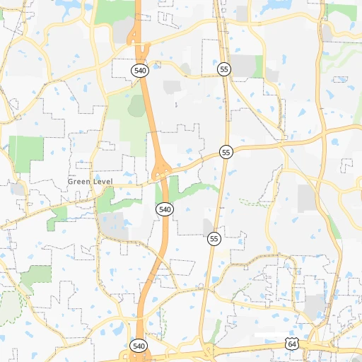
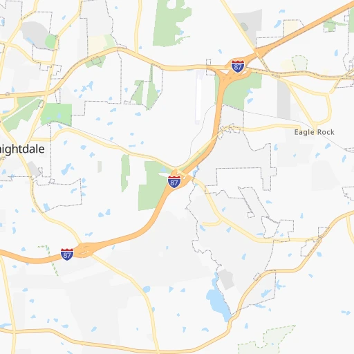
Roadmap (route) to go from Administration Building Helispot Airport to Monroe detailed above, you can also see the course layout on the map.
While doing trip Administration Building Helispot (airport) - Monroe by car, the calculated route ends at a distance , or more straight.
Distance and duration of the route between Administration Building Helispot (airport) and Monroe
Calculation of distance and route from Monroe to Administration Building Helispot (airport) :
194.3228.3 km3h52mn
Continue onto West Jones Street 0h0mn 106 mTurn right onto North Salisbury Street 0h0mn 149 mTurn right onto West Edenton Street 0h2mn 1.5 kmAt roundabout, take exit 1 onto Hillsborough Street 0h0mn 46 mKeep left 0h5mn 4.4 kmKeep left 1h43mn 68.1 kmKeep right onto White Hill Road 0h11mn 14.1 kmContinue onto US 15, US 501, NC 24, NC 27 0h3mn 3.0 kmKeep left onto US 15, US 501 0h9mn 10.8 kmTurn right onto NC 73 0h11mn 12.1 kmTurn left onto NC 211 Highway 0h0mn 354 mTurn right onto NC 73 0h14mn 17.6 kmTurn left 0h15mn 22.4 kmKeep right 0h0mn 312 mContinue onto Ellerbe Road 0h1mn 568 mTurn right onto Kemberly Street 0h0mn 185 mTurn left onto Cartledge Creek Road 0h0mn 379 mTurn right onto Old US Hwy 74 0h1mn 466 mTurn left onto Old US Hwy 74 0h0mn 27 mTurn right onto US 74 BUS 1h41mn 52.2 kmContinue onto East Marshville Boulevard 0h5mn 5.3 kmKeep right onto US 74 and take US 74 West toward Wingate, Monroe 0h10mn 10.8 kmTurn left onto Franklin Street 0h3mn 3.2 kmTurn right onto North Hayne Street 0h0mn 232 mArrive at destination 0h0mn 0 m
Travel from Administration Building Helispot (airport) (North Carolina) to a selection of major cities.
Distances from Administration Building Helispot Airport to biggest cities in North Carolina
- Kannapolis,46,144 inhabitants.182 km
- Apex,45,585 inhabitants.20 km
- Hickory,40,374 inhabitants.244 km
- Wake Forest,38,199 inhabitants.25 km
- Indian Trail,37,073 inhabitants.200 km
- Mooresville,36,009 inhabitants.197 km
- Goldsboro,35,826 inhabitants.74 km
- Monroe,34,623 inhabitants.195 km
- Salisbury,34,017 inhabitants.166 km
- Holly Springs,31,377 inhabitants.23 km
- Matthews,30,678 inhabitants.203 km
- New Bern,30,070 inhabitants.163 km
- Fort Bragg,29,183 inhabitants.79 km
- Sanford,29,144 inhabitants.59 km
- Cornelius,28,092 inhabitants.203 km
- Garner,28,053 inhabitants.8 km
- Thomasville,27,061 inhabitants.131 km
- Statesville,26,221 inhabitants.203 km
- Asheboro,26,103 inhabitants.106 km
- Mint Hill,25,627 inhabitants.194 km
Other major cities in country :
- Seattle [WA], 684,451 inhabitants. 3,804 km
- Denver [CO], 682,545 inhabitants. 2,351 km
- El Paso [TX], 681,124 inhabitants. 2,606 km
- Detroit [MI], 677,116 inhabitants. 822 km
- Boston [MA], 667,137 inhabitants. 982 km
- Memphis [TN], 655,770 inhabitants. 1,036 km
- New South Memphis [TN], 641,608 inhabitants. 1,038 km
- Portland [OR], 632,309 inhabitants. 3,821 km
- Oklahoma City [OK], 631,346 inhabitants. 1,706 km
- Las Vegas [NV], 623,747 inhabitants. 3,268 km
- Baltimore [MD], 621,849 inhabitants. 430 km
- Washington, D.C. [DC], 601,723 inhabitants. 374 km
- Milwaukee [WI], 600,155 inhabitants. 1,133 km
- South Boston [MA], 571,281 inhabitants. 980 km
- Albuquerque [NM], 559,121 inhabitants. 2,533 km
- Tucson [AZ], 531,641 inhabitants. 2,992 km
- Nashville [TN], 530,852 inhabitants. 735 km
- Fresno [CA], 520,052 inhabitants. 3,665 km
- Sacramento [CA], 490,712 inhabitants. 3,779 km
- Kansas City [MO], 475,378 inhabitants. 1,454 km
Route from Monroe to major cities (United States).
- Distance Monroe New York City858 km
- Distance Monroe Los Angeles3,438 km
- Distance Monroe Chicago983 km
- Distance Monroe Brooklyn856 km
- Distance Monroe Houston1,507 km
- Distance Monroe Queens866 km
- Distance Monroe Philadelphia729 km
- Distance Monroe Phoenix2,895 km
- Distance Monroe Manhattan866 km
- Distance Monroe San Antonio1,797 km
- Distance Monroe San Diego3,376 km
- Distance Monroe The Bronx877 km
- Distance Monroe Dallas1,520 km
- Distance Monroe San Jose3,695 km
- Distance Monroe Austin1,693 km
- Distance Monroe Jacksonville528 km
- Distance Monroe San Francisco3,734 km
- Distance Monroe Columbus595 km
- Distance Monroe Fort Worth1,569 km
- Distance Monroe Indianapolis727 km
Nearest cities to Administration Building Helispot (airport) :
- Charlotte, 827,097 inhabitants. 209 km
- Virginia Beach, 452,745 inhabitants. 267 km
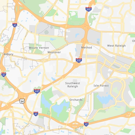
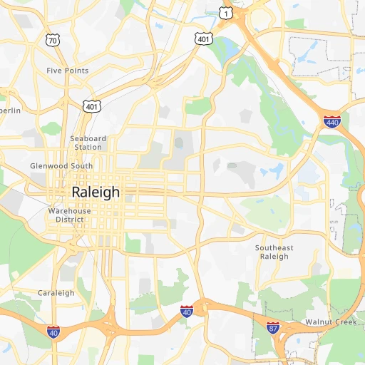
- Raleigh, 451,066 inhabitants. 1 km
- West Raleigh, 338,759 inhabitants. 2 km
- Greensboro, 285,342 inhabitants. 109 km
- Durham, 257,636 inhabitants. 33 km
- Norfolk, 246,393 inhabitants. 242 km
- Winston-Salem, 241,218 inhabitants. 149 km
- Chesapeake, 235,429 inhabitants. 242 km
- Richmond, 220,289 inhabitants. 224 km
- Fayetteville, 201,963 inhabitants. 84 km
- Newport News, 182,385 inhabitants. 242 km
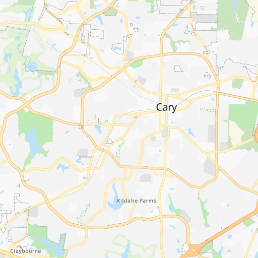
- Cary, 159,769 inhabitants. 13 km
- East Hampton, 147,993 inhabitants. 250 km
- Hampton, 136,454 inhabitants. 248 km
- Columbia, 133,803 inhabitants. 295 km
- Wilmington, 115,933 inhabitants. 185 km
- High Point, 110,268 inhabitants. 125 km
- North Charleston, 108,304 inhabitants. 348 km
- Roanoke, 99,897 inhabitants. 202 km
- Portsmouth Heights, 99,049 inhabitants. 234 km
- Portsmouth, 96,201 inhabitants. 241 km
- Greenville, 90,597 inhabitants. 117 km
- Suffolk, 88,161 inhabitants. 212 km
- Concord, 87,696 inhabitants. 181 km
- Mount Pleasant, 81,317 inhabitants. 351 km
- South Suffolk, 80,690 inhabitants. 211 km
- Lynchburg, 79,812 inhabitants. 187 km
- Gastonia, 74,543 inhabitants. 238 km
- Rock Hill, 71,548 inhabitants. 237 km
- Waldorf, 67,752 inhabitants. 350 km
- Jacksonville, 67,357 inhabitants. 159 km
- Dale City, 65,969 inhabitants. 339 km
- West Lynchburg, 65,517 inhabitants. 187 km
- Chapel Hill, 59,568 inhabitants. 40 km
- Rocky Mount, 55,806 inhabitants. 79 km
- Huntersville, 52,704 inhabitants. 204 km
- Harrisonburg, 52,538 inhabitants. 298 km
- Burlington, 52,472 inhabitants. 80 km
- Charleston, 49,736 inhabitants. 390 km
- Wilson, 49,643 inhabitants. 66 km
- Summerville, 48,848 inhabitants. 338 km
- Charlottesville, 46,597 inhabitants. 250 km
- Kannapolis, 46,144 inhabitants. 182 km
- Apex, 45,585 inhabitants. 20 km
- Tuckahoe, 44,990 inhabitants. 223 km
- Blacksburg, 44,215 inhabitants. 226 km
- Danville, 42,082 inhabitants. 112 km
- Manassas, 41,764 inhabitants. 346 km
- Lake Ridge, 41,058 inhabitants. 345 km
Location Administration Building Helispot (airport) (North Carolina) :
| Country flag |  |
| Location | Administration Building Helispot (airport) |
| State | North Carolina |
| County | Wake County |
| Country | United States |
| Country code / ISO 2 | US |
| Latitude | 35.7829300 |
| Longitude | -78.6411100 |
| Altitude | 101 meters |
| Time zone | America/New_York |
Location Monroe (North Carolina) :
| Country flag | |
| Location | Monroe |
| State | North Carolina |
| County | Union County |
| Country | United States |
| Country code / ISO 2 | US |
| Latitude | 34.9854300 |
| Longitude | -80.5495100 |
| Altitude | 180 meters |
| Time zone | America/New_York |

