
How to get from Clay (airport) (Mississippi) to Pine Bluff (Arkansas)
Calculate route from Clay (airport) (Mississippi, United States) to Pine Bluff (Arkansas, United States).
The flight distance (as the crow flies) between Clay (airport) and Pine Bluff is 343.6 km.
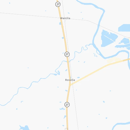
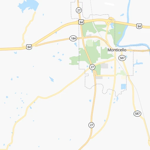
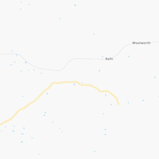
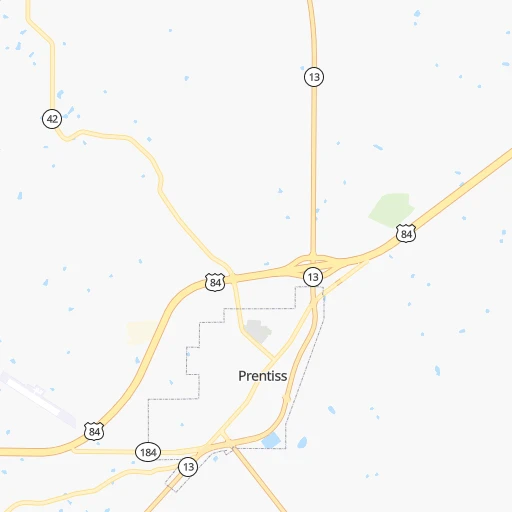
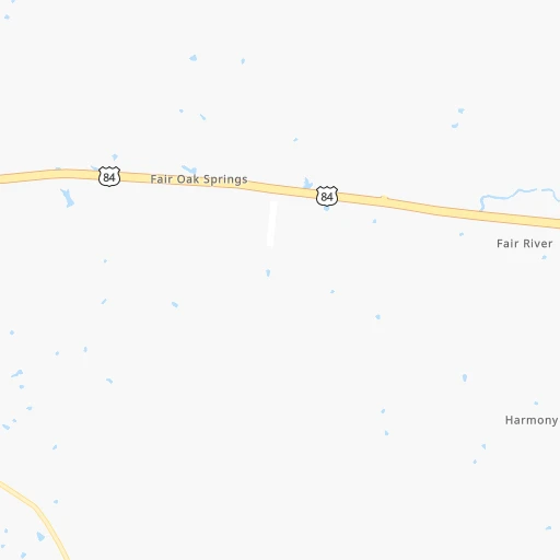
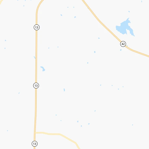
Roadmap (route) to go from Clay Airport to Pine Bluff detailed above, you can also see the course layout on the map.
While doing trip Clay (airport) - Pine Bluff by car, the calculated route ends at a distance , or more straight.
Distance and duration of the route between Clay (airport) and Pine Bluff
Calculation of distance and route from Pine Bluff to Clay (airport) :
343.6406.1 km5h28mn
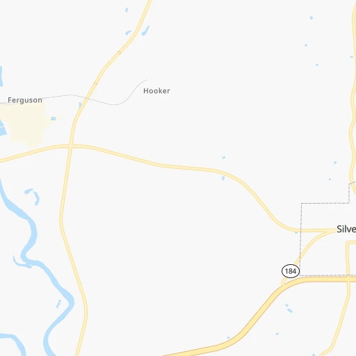
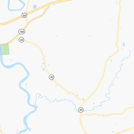
Continue onto Muscadine Lane 0h1mn 288 mTurn sharp right onto Friendship Lane 0h1mn 672 mKeep right toward US 84 West 0h1mn 1.4 kmKeep right and take MS 27 toward Monticello, Georgetown 0h0mn 472 mKeep right 0h0mn 75 mTurn slight right onto MS 27 1h41mn 54.8 kmAt roundabout, take exit 2 onto MS 27 1h31mn 32.3 kmContinue onto Pine Street 0h0mn 200 mTurn slight right onto White Oak Street 0h2mn 1.2 kmTurn left onto East Main Street 0h0mn 279 mTurn right onto Cayuga Street 0h2mn 2.0 kmKeep left 0h0mn 100 mTurn slight left onto MS 27 0h29mn 29.0 kmTurn left onto Old Hwy 27 0h0mn 114 mTurn sharp right onto Old Hwy 27 0h3mn 2.7 kmTurn left onto East Indiana Avenue 0h4mn 3.5 kmTurn left 0h2mn 2.8 kmKeep right onto I 20, US 80 0h8mn 13.2 kmKeep right and take LA 602-2 toward Mound 0h1mn 681 mKeep right 0h1mn 769 mTurn left onto US 80 0h14mn 15.9 kmTurn right onto Bailey Street 0h3mn 2.5 kmTurn right onto US 65 1h40mn 44.0 kmTurn left onto Lake Street 1h44mn 57.5 kmTurn left onto US 65, US 82, US 278 2h30mn 133.0 kmKeep right onto US 65B 0h5mn 5.8 kmTurn left onto Convention Center Drive 0h0mn 181 mTurn right onto East 2nd Avenue 0h1mn 354 mArrive at destination 0h0mn 0 m
Travel from Clay (airport) (Arkansas) to a selection of major cities.
Distances from Clay Airport to biggest cities in Mississippi
- Pascagoula,22,126 inhabitants.200 km
Other major cities in country :
- Charlotte [NC], 827,097 inhabitants. 952 km
- Seattle [WA], 684,451 inhabitants. 3,254 km
- Denver [CO], 682,545 inhabitants. 1,620 km
- El Paso [TX], 681,124 inhabitants. 1,550 km
- Detroit [MI], 677,116 inhabitants. 1,351 km
- Boston [MA], 667,137 inhabitants. 2,069 km
- Memphis [TN], 655,770 inhabitants. 398 km
- New South Memphis [TN], 641,608 inhabitants. 391 km
- Portland [OR], 632,309 inhabitants. 3,201 km
- Oklahoma City [OK], 631,346 inhabitants. 812 km
- Las Vegas [NV], 623,747 inhabitants. 2,362 km
- Baltimore [MD], 621,849 inhabitants. 1,493 km
- Washington, D.C. [DC], 601,723 inhabitants. 1,439 km
- Milwaukee [WI], 600,155 inhabitants. 1,291 km
- South Boston [MA], 571,281 inhabitants. 2,068 km
- Albuquerque [NM], 559,121 inhabitants. 1,585 km
- Tucson [AZ], 531,641 inhabitants. 1,966 km
- Nashville [TN], 530,852 inhabitants. 596 km
- Fresno [CA], 520,052 inhabitants. 2,780 km
- Sacramento [CA], 490,712 inhabitants. 2,948 km
Route from Pine Bluff to major cities (United States).
- Distance Pine Bluff New York City1,742 km
- Distance Pine Bluff Los Angeles2,411 km
- Distance Pine Bluff Chicago930 km
- Distance Pine Bluff Brooklyn1,744 km
- Distance Pine Bluff Houston590 km
- Distance Pine Bluff Queens1,754 km
- Distance Pine Bluff Philadelphia1,622 km
- Distance Pine Bluff Phoenix1,855 km
- Distance Pine Bluff Manhattan1,748 km
- Distance Pine Bluff San Antonio814 km
- Distance Pine Bluff San Diego2,337 km
- Distance Pine Bluff The Bronx1,758 km
- Distance Pine Bluff Dallas474 km
- Distance Pine Bluff San Jose2,710 km
- Distance Pine Bluff Austin697 km
- Distance Pine Bluff Jacksonville1,065 km
- Distance Pine Bluff San Francisco2,755 km
- Distance Pine Bluff Columbus1,022 km
- Distance Pine Bluff Fort Worth521 km
- Distance Pine Bluff Indianapolis806 km
Nearest cities to Clay (airport) :
- New Orleans, 389,617 inhabitants. 181 km
- Baton Rouge, 228,590 inhabitants. 160 km
- Mobile, 194,288 inhabitants. 220 km
- Jackson, 170,674 inhabitants. 81 km
- Metairie Terrace, 142,489 inhabitants. 178 km
- Metairie, 138,481 inhabitants. 177 km
- Lafayette, 127,657 inhabitants. 236 km
- Tuscaloosa, 98,332 inhabitants. 300 km
- Gulfport, 71,856 inhabitants. 166 km
- West Gulfport, 71,329 inhabitants. 163 km
- Kenner, 67,091 inhabitants. 177 km
- East Pensacola Heights, 54,104 inhabitants. 307 km
- Pensacola, 53,193 inhabitants. 305 km
- Monroe, 49,598 inhabitants. 216 km
- Alexandria, 47,889 inhabitants. 224 km
- Hattiesburg, 46,805 inhabitants. 83 km
- Biloxi, 45,637 inhabitants. 176 km
- Pine Bluff, 44,772 inhabitants. 344 km
- Meridian, 39,661 inhabitants. 159 km
- Tupelo, 35,680 inhabitants. 326 km
- Hot Springs, 35,635 inhabitants. 426 km
- Hot Springs National Park, 35,193 inhabitants. 429 km
- Houma, 34,287 inhabitants. 228 km
- Benton, 34,177 inhabitants. 405 km
- Marrero, 33,141 inhabitants. 187 km
- Greenville, 32,156 inhabitants. 223 km
- New Iberia, 30,754 inhabitants. 239 km
- Laplace, 29,872 inhabitants. 172 km
- Ferry Pass, 28,921 inhabitants. 301 km
- Central, 28,295 inhabitants. 144 km
- Slidell, 27,942 inhabitants. 148 km
- Prairieville, 26,895 inhabitants. 164 km
- Cantonment, 26,493 inhabitants. 285 km
- Pearl, 26,462 inhabitants. 78 km
- Madison, 25,799 inhabitants. 99 km
- Starkville, 25,366 inhabitants. 241 km
- Clinton, 25,254 inhabitants. 87 km
- Daphne, 24,896 inhabitants. 237 km
- Northport, 24,772 inhabitants. 301 km
- Ridgeland, 24,351 inhabitants. 95 km
- Brandon, 23,529 inhabitants. 78 km
- Bellview, 23,355 inhabitants. 294 km
- Terrytown, 23,319 inhabitants. 186 km
- Columbus, 23,168 inhabitants. 266 km
- Vicksburg, 23,131 inhabitants. 113 km
- Prichard, 22,351 inhabitants. 215 km
- Ruston, 22,340 inhabitants. 261 km
- Oxford, 22,314 inhabitants. 315 km
- Pascagoula, 22,126 inhabitants. 200 km
- Brent, 21,804 inhabitants. 301 km
Location Clay (airport) (Mississippi) :
| Country flag |  |
| Location | Clay (airport) |
| State | Mississippi |
| County | Lawrence County |
| Country | United States |
| Country code / ISO 2 | US |
| Latitude | 31.5762800 |
| Longitude | -90.1103200 |
| Altitude | 62 meters |
| Time zone | America/Chicago |
Location Pine Bluff (Arkansas) :
| Country flag | |
| Location | Pine Bluff |
| State | Arkansas |
| County | Jefferson County |
| Country | United States |
| Country code / ISO 2 | US |
| Latitude | 34.2284300 |
| Longitude | -92.0032000 |
| Altitude | 67 meters |
| Time zone | America/Chicago |


