


How to get from Harbour (airport) (Missouri) to Cape Girardeau (Missouri)
Calculate route from Harbour (airport) (Missouri, United States) to Cape Girardeau (Missouri, United States).
The flight distance (as the crow flies) between Harbour (airport) and Cape Girardeau is 308.4 km.
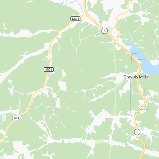
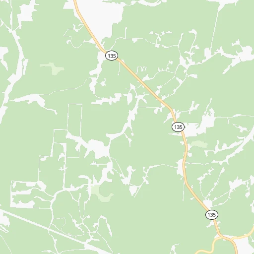
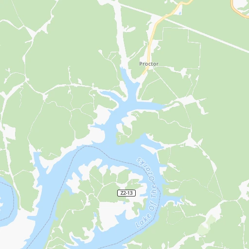
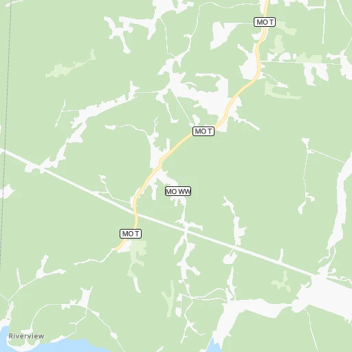
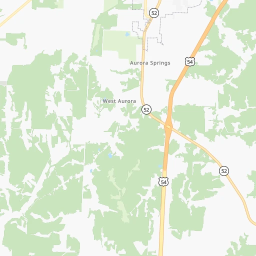
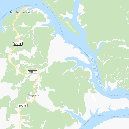
Roadmap (route) to go from Harbour Airport to Cape Girardeau detailed above, you can also see the course layout on the map.
While doing trip Harbour (airport) - Cape Girardeau by car, the calculated route ends at a distance , or more straight.
Distance and duration of the route between Harbour (airport) and Cape Girardeau
Calculation of distance and route from Cape Girardeau to Harbour (airport) :
308.4386.7 km5h27mn
Continue onto Harbour Road 0h2mn 767 mTurn right onto Highway P 0h1mn 785 mTurn sharp left onto MO 5 0h15mn 17.0 kmTurn left onto MO F 0h1mn 766 mKeep left onto MO TT 0h4mn 3.0 kmTurn right onto MO MM 0h10mn 11.8 kmTurn left 0h0mn 114 mTurn left 0h0mn 162 mTurn left onto Bagnell Dam Boulevard 0h3mn 2.9 kmKeep right 0h2mn 2.3 kmKeep left 1h42mn 53.4 kmKeep right onto MO 42 0h0mn 441 mTurn left onto MO 42 0h13mn 16.7 kmTurn right onto US 63 0h14mn 20.8 kmTurn left onto MO 68 1h43mn 47.6 kmTurn right onto Main Street 1h16mn 83.5 kmTurn right onto State Highway Z 0h5mn 5.2 kmTurn left onto US 67 Bus, MO 32 0h0mn 222 mKeep right onto MO 32 and take US 67 South, MO 32 East toward Farmington 0h28mn 35.0 kmKeep right and take MO 72, US 67 Business toward Fredericktown, Arcadia 0h0mn 253 mKeep left and take US 67 Business, MO 72 East toward Fredericktown 0h0mn 24 mTurn left onto US 67 Business, MO 72 0h1mn 744 mAt roundabout, take exit 2 onto West Main Street 0h2mn 1.9 kmAt roundabout, take exit 2 onto East Main Street 0h0mn 203 mTurn left onto North Mine La Motte Avenue 0h2mn 1.3 kmTurn right onto MO 72 1h49mn 63.8 kmTurn slight right onto West Jackson Boulevard 0h12mn 12.8 kmTurn left onto Broadway Street 0h3mn 3.3 kmArrive at destination 0h0mn 0 m
Travel from Harbour (airport) (Missouri) to a selection of major cities.
Distances from Harbour Airport to biggest cities in Missouri
- University City,35,058 inhabitants.222 km
- Ballwin,30,577 inhabitants.201 km
- Liberty,30,450 inhabitants.177 km
- Raytown,29,401 inhabitants.165 km
- Mehlville,28,380 inhabitants.219 km
- Kirkwood,27,750 inhabitants.213 km
- Maryland Heights,27,389 inhabitants.213 km
- Gladstone,26,861 inhabitants.184 km
- Hazelwood,25,661 inhabitants.220 km
- Grandview,25,256 inhabitants.165 km
- Webster Groves,23,177 inhabitants.217 km
- Belton,23,168 inhabitants.161 km
- Sedalia,21,516 inhabitants.61 km
- Arnold,21,357 inhabitants.213 km
- Ferguson,21,059 inhabitants.225 km
- Nixa,20,984 inhabitants.143 km
- Raymore,20,374 inhabitants.155 km
- Affton,20,307 inhabitants.219 km
- Rolla,20,019 inhabitants.98 km
Other major cities in country :
- Charlotte [NC], 827,097 inhabitants. 1,119 km
- Seattle [WA], 684,451 inhabitants. 2,600 km
- Denver [CO], 682,545 inhabitants. 1,065 km
- El Paso [TX], 681,124 inhabitants. 1,440 km
- Detroit [MI], 677,116 inhabitants. 944 km
- Boston [MA], 667,137 inhabitants. 1,896 km
- Memphis [TN], 655,770 inhabitants. 426 km
- New South Memphis [TN], 641,608 inhabitants. 431 km
- Portland [OR], 632,309 inhabitants. 2,586 km
- Oklahoma City [OK], 631,346 inhabitants. 522 km
- Las Vegas [NV], 623,747 inhabitants. 1,988 km
- Baltimore [MD], 621,849 inhabitants. 1,409 km
- Washington, D.C. [DC], 601,723 inhabitants. 1,373 km
- Milwaukee [WI], 600,155 inhabitants. 673 km
- South Boston [MA], 571,281 inhabitants. 1,896 km
- Albuquerque [NM], 559,121 inhabitants. 1,284 km
- Tucson [AZ], 531,641 inhabitants. 1,775 km
- Nashville [TN], 530,852 inhabitants. 583 km
- Fresno [CA], 520,052 inhabitants. 2,378 km
- Sacramento [CA], 490,712 inhabitants. 2,491 km
Route from Cape Girardeau to major cities (United States).
- Distance Cape Girardeau New York City1,392 km
- Distance Cape Girardeau Los Angeles2,612 km
- Distance Cape Girardeau Chicago531 km
- Distance Cape Girardeau Brooklyn1,396 km
- Distance Cape Girardeau Houston999 km
- Distance Cape Girardeau Queens1,406 km
- Distance Cape Girardeau Philadelphia1,281 km
- Distance Cape Girardeau Phoenix2,087 km
- Distance Cape Girardeau Manhattan1,397 km
- Distance Cape Girardeau San Antonio1,210 km
- Distance Cape Girardeau San Diego2,562 km
- Distance Cape Girardeau The Bronx1,407 km
- Distance Cape Girardeau Dallas833 km
- Distance Cape Girardeau San Jose2,852 km
- Distance Cape Girardeau Austin1,091 km
- Distance Cape Girardeau Jacksonville1,063 km
- Distance Cape Girardeau San Francisco2,889 km
- Distance Cape Girardeau Columbus639 km
- Distance Cape Girardeau Fort Worth875 km
- Distance Cape Girardeau Indianapolis401 km
Nearest cities to Harbour (airport) :
- Kansas City, 475,378 inhabitants. 179 km
- St. Louis, 315,685 inhabitants. 231 km
- Overland Park, 186,515 inhabitants. 180 km
- Springfield, 166,810 inhabitants. 125 km
- Kansas City, 151,306 inhabitants. 184 km
- Olathe, 134,305 inhabitants. 187 km
- Topeka, 127,265 inhabitants. 264 km
- Columbia, 119,108 inhabitants. 87 km
- Independence, 117,255 inhabitants. 167 km
- East Independence, 110,675 inhabitants. 163 km
- Broken Arrow, 106,563 inhabitants. 361 km
- Lee's Summit, 95,094 inhabitants. 154 km
- Lawrence, 93,917 inhabitants. 225 km
- Fort Smith, 88,194 inhabitants. 351 km
- O'Fallon, 85,040 inhabitants. 194 km
- Fayetteville, 82,830 inhabitants. 273 km
- Springdale, 77,859 inhabitants. 260 km
- Saint Joseph, 76,780 inhabitants. 243 km
- Jonesboro, 73,907 inhabitants. 329 km
- Saint Charles, 65,794 inhabitants. 211 km
- Shawnee, 65,046 inhabitants. 187 km
- Rogers, 63,159 inhabitants. 245 km
- Blue Springs, 54,148 inhabitants. 152 km
- Saint Peters, 52,575 inhabitants. 199 km
- Lenexa, 52,490 inhabitants. 184 km
- Florissant, 52,268 inhabitants. 224 km
- Joplin, 51,818 inhabitants. 200 km
- Chesterfield, 47,864 inhabitants. 200 km
- Bentonville, 44,499 inhabitants. 245 km
- Jefferson City, 43,169 inhabitants. 65 km
- Belleville, 42,034 inhabitants. 248 km
- Quincy, 40,780 inhabitants. 222 km
- Muskogee, 38,456 inhabitants. 361 km
- Oakville, 36,143 inhabitants. 220 km
- Leavenworth, 35,980 inhabitants. 217 km
- Wildwood, 35,899 inhabitants. 191 km
- Wentzville, 35,603 inhabitants. 181 km
- University City, 35,058 inhabitants. 222 km
- Leawood, 34,579 inhabitants. 175 km
- Galesburg, 31,273 inhabitants. 364 km
- Ballwin, 30,577 inhabitants. 201 km
- Liberty, 30,450 inhabitants. 177 km
- Raytown, 29,401 inhabitants. 165 km
- Upper Alton, 29,251 inhabitants. 242 km
- Russellville, 29,166 inhabitants. 334 km
- Granite City, 29,054 inhabitants. 237 km
- O'Fallon, 29,002 inhabitants. 256 km
- Mehlville, 28,380 inhabitants. 219 km
- Bella Vista, 27,999 inhabitants. 237 km
- Paragould, 27,900 inhabitants. 321 km
Location Harbour (airport) (Missouri) :
| Country flag |  |
| Location | Harbour (airport) |
| State | Missouri |
| County | Morgan County |
| Country | United States |
| Country code / ISO 2 | US |
| Latitude | 38.2691700 |
| Longitude | -92.8124100 |
| Altitude | 247 meters |
| Time zone | America/Chicago |
Location Cape Girardeau (Missouri) :
| Country flag | |
| Location | Cape Girardeau |
| State | Missouri |
| County | Cape Girardeau County |
| Country | United States |
| Country code / ISO 2 | US |
| Latitude | 37.3058800 |
| Longitude | -89.5181500 |
| Altitude | 108 meters |
| Time zone | America/Chicago |


