


How to get from Piney Bend (airport) (Missouri) to Hot Springs National Park (Arkansas)
Calculate route from Piney Bend (airport) (Missouri, United States) to Hot Springs National Park (Arkansas, United States).
The flight distance (as the crow flies) between Piney Bend (airport) and Hot Springs National Park is 338.3 km.
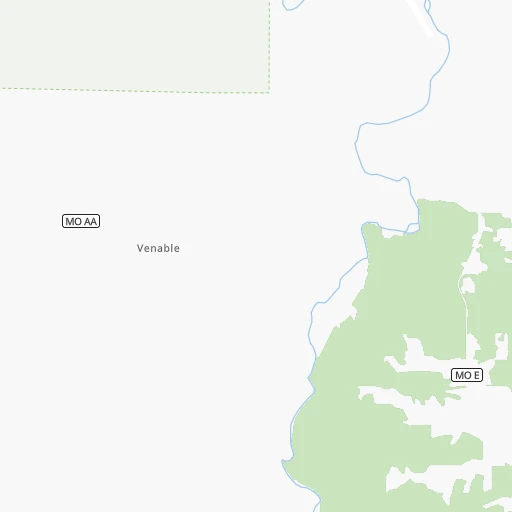
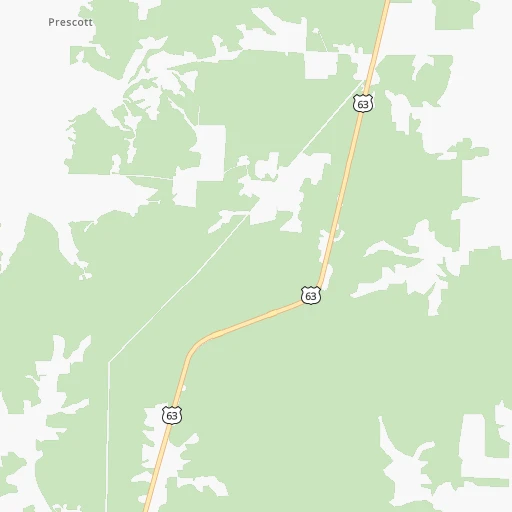
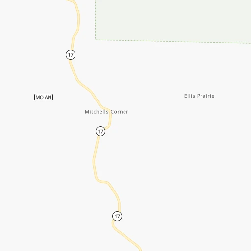
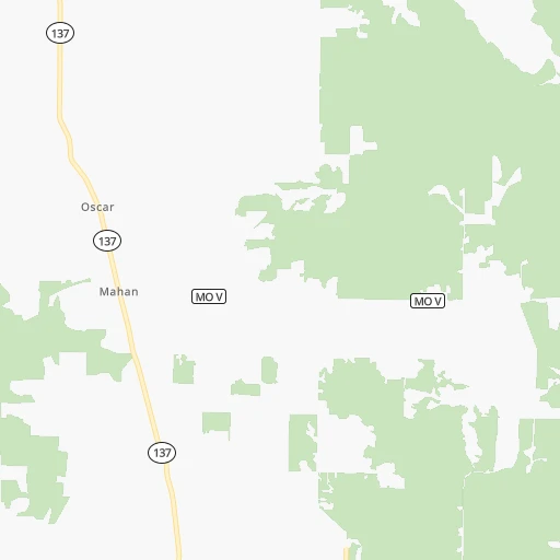
Roadmap (route) to go from Piney Bend Airport to Hot Springs National Park detailed above, you can also see the course layout on the map.
While doing trip Piney Bend (airport) - Hot Springs National Park by car, the calculated route ends at a distance , or more straight.
Distance and duration of the route between Piney Bend (airport) and Hot Springs National Park
Calculation of distance and route from Hot Springs National Park to Piney Bend (airport) :
338.3476.8 km6h20mn
Continue 0h3mn 740 mTurn left onto Elmwood Drive 0h3mn 1.5 kmTurn right onto Friend Drive 0h5mn 2.5 kmTurn left onto Friend Drive 0h0mn 125 mTurn slight right onto Friend Drive 0h2mn 1.1 kmTurn left onto Crane Drive 0h2mn 1.2 kmKeep left onto Sand Shoals Road 0h2mn 810 mKeep left onto Sand Shoals Road 0h8mn 4.2 kmKeep right onto Highway E 0h14mn 7.1 kmTurn right onto US 63 0h24mn 33.6 kmContinue onto US 63, US 60 Business 0h15mn 22.7 kmKeep right onto US 63 and take US 63 South toward West Plains, Thayer 0h16mn 24.9 kmKeep right onto US 63 Business 0h0mn 500 mTurn left onto McFarland Street 0h0mn 157 mKeep right onto US 63 Business 0h0mn 90 mTurn slight right onto Porter Wagoner Boulevard 0h4mn 3.9 kmTurn right onto Aid Avenue 0h0mn 19 mTurn slight right onto South Aid Avenue 0h1mn 1.1 kmTurn right onto South Hill 0h26mn 32.9 kmTurn left onto Mill Creek Circle 0h7mn 3.3 kmTurn left onto AR 395 0h8mn 7.8 kmTurn right onto North Main Street 0h2mn 1.9 kmTurn left onto Morning Side Lane 0h24mn 27.4 kmKeep right 0h0mn 128 mTurn slight right onto Ash Flat Drive 2h35mn 113.8 kmKeep right onto US 167 1h51mn 90.4 kmKeep left onto US 67, US 167 and take I 30 West, US 65 South, US 67 South, US 167 South toward Little Rock 0h6mn 7.9 kmKeep right onto I 30, US 67 0h27mn 43.4 kmKeep right onto US 70 and take US-70 West toward Hot Springs 0h28mn 37.4 kmTurn right onto Spring Street 0h1mn 833 mTurn right onto Reserve Street 0h1mn 530 mTurn right onto Central Avenue 0h1mn 884 mTurn left onto Whittington Avenue 0h0mn 56 mTurn right onto Cedar Street 0h1mn 659 mTurn right onto Cedarglade Road 0h1mn 647 mKeep left onto Cedarglade Road 0h1mn 359 mTurn left onto Cedarglade Road 0h0mn 131 mArrive at destination 0h0mn 0 m
Travel from Piney Bend (airport) (Arkansas) to a selection of major cities.
Distances from Piney Bend Airport to biggest cities in Missouri
- University City,35,058 inhabitants.198 km
- Ballwin,30,577 inhabitants.178 km
- Liberty,30,450 inhabitants.295 km
- Raytown,29,401 inhabitants.281 km
- Mehlville,28,380 inhabitants.186 km
- Kirkwood,27,750 inhabitants.186 km
- Maryland Heights,27,389 inhabitants.195 km
- Gladstone,26,861 inhabitants.300 km
- Hazelwood,25,661 inhabitants.203 km
- Grandview,25,256 inhabitants.277 km
- Webster Groves,23,177 inhabitants.190 km
- Belton,23,168 inhabitants.273 km
- Sedalia,21,516 inhabitants.180 km
- Arnold,21,357 inhabitants.177 km
- Ferguson,21,059 inhabitants.205 km
- Nixa,20,984 inhabitants.127 km
- Raymore,20,374 inhabitants.266 km
- Affton,20,307 inhabitants.188 km
- Rolla,20,019 inhabitants.59 km
Other major cities in country :
- Charlotte [NC], 827,097 inhabitants. 1,025 km
- Seattle [WA], 684,451 inhabitants. 2,715 km
- Denver [CO], 682,545 inhabitants. 1,161 km
- El Paso [TX], 681,124 inhabitants. 1,472 km
- Detroit [MI], 677,116 inhabitants. 935 km
- Boston [MA], 667,137 inhabitants. 1,861 km
- Memphis [TN], 655,770 inhabitants. 307 km
- New South Memphis [TN], 641,608 inhabitants. 312 km
- Portland [OR], 632,309 inhabitants. 2,696 km
- Oklahoma City [OK], 631,346 inhabitants. 544 km
- Las Vegas [NV], 623,747 inhabitants. 2,066 km
- Baltimore [MD], 621,849 inhabitants. 1,353 km
- Washington, D.C. [DC], 601,723 inhabitants. 1,314 km
- Milwaukee [WI], 600,155 inhabitants. 712 km
- South Boston [MA], 571,281 inhabitants. 1,861 km
- Albuquerque [NM], 559,121 inhabitants. 1,344 km
- Tucson [AZ], 531,641 inhabitants. 1,825 km
- Nashville [TN], 530,852 inhabitants. 482 km
- Fresno [CA], 520,052 inhabitants. 2,463 km
- Sacramento [CA], 490,712 inhabitants. 2,583 km
Route from Hot Springs National Park to major cities (United States).
- Distance Hot Springs National Park New York City1,811 km
- Distance Hot Springs National Park Los Angeles2,310 km
- Distance Hot Springs National Park Chicago942 km
- Distance Hot Springs National Park Brooklyn1,814 km
- Distance Hot Springs National Park Houston573 km
- Distance Hot Springs National Park Queens1,824 km
- Distance Hot Springs National Park Philadelphia1,693 km
- Distance Hot Springs National Park Phoenix1,756 km
- Distance Hot Springs National Park Manhattan1,816 km
- Distance Hot Springs National Park San Antonio765 km
- Distance Hot Springs National Park San Diego2,238 km
- Distance Hot Springs National Park The Bronx1,827 km
- Distance Hot Springs National Park Dallas398 km
- Distance Hot Springs National Park San Jose2,607 km
- Distance Hot Springs National Park Austin647 km
- Distance Hot Springs National Park Jacksonville1,168 km
- Distance Hot Springs National Park San Francisco2,652 km
- Distance Hot Springs National Park Columbus1,076 km
- Distance Hot Springs National Park Fort Worth443 km
- Distance Hot Springs National Park Indianapolis845 km
Nearest cities to Piney Bend (airport) :
- Memphis, 655,770 inhabitants. 307 km
- New South Memphis, 641,608 inhabitants. 312 km
- Kansas City, 475,378 inhabitants. 295 km
- St. Louis, 315,685 inhabitants. 203 km
- Little Rock, 197,992 inhabitants. 301 km
- Overland Park, 186,515 inhabitants. 293 km
- Springfield, 166,810 inhabitants. 122 km
- Kansas City, 151,306 inhabitants. 299 km
- Olathe, 134,305 inhabitants. 298 km
- Columbia, 119,108 inhabitants. 172 km
- Independence, 117,255 inhabitants. 283 km
- Springfield, 116,565 inhabitants. 331 km
- East Independence, 110,675 inhabitants. 279 km
- Lee's Summit, 95,094 inhabitants. 268 km
- Fort Smith, 88,194 inhabitants. 317 km
- O'Fallon, 85,040 inhabitants. 188 km
- Fayetteville, 82,830 inhabitants. 249 km
- Springdale, 77,859 inhabitants. 239 km
- Saint Joseph, 76,780 inhabitants. 361 km
- Jonesboro, 73,907 inhabitants. 210 km
- Decatur, 73,254 inhabitants. 373 km
- North Little Rock, 66,504 inhabitants. 299 km
- Saint Charles, 65,794 inhabitants. 197 km
- Shawnee, 65,046 inhabitants. 301 km
- Conway, 64,980 inhabitants. 265 km
- Rogers, 63,159 inhabitants. 229 km
- Bartlett, 58,579 inhabitants. 311 km
- Blue Springs, 54,148 inhabitants. 269 km
- Southaven, 52,589 inhabitants. 324 km
- Saint Peters, 52,575 inhabitants. 191 km
- Lenexa, 52,490 inhabitants. 296 km
- Florissant, 52,268 inhabitants. 207 km
- Joplin, 51,818 inhabitants. 230 km
- Collierville, 48,863 inhabitants. 337 km
- Chesterfield, 47,864 inhabitants. 182 km
- Bentonville, 44,499 inhabitants. 233 km
- Jefferson City, 43,169 inhabitants. 128 km
- Belleville, 42,034 inhabitants. 210 km
- Quincy, 40,780 inhabitants. 282 km
- Cape Girardeau, 39,462 inhabitants. 216 km
- Germantown, 39,240 inhabitants. 325 km
- Oakville, 36,143 inhabitants. 184 km
- Olive Branch, 36,010 inhabitants. 335 km
- Leavenworth, 35,980 inhabitants. 333 km
- Wildwood, 35,899 inhabitants. 170 km
- Hot Springs, 35,635 inhabitants. 342 km
- Wentzville, 35,603 inhabitants. 180 km
- Hot Springs National Park, 35,193 inhabitants. 339 km
- University City, 35,058 inhabitants. 198 km
- Leawood, 34,579 inhabitants. 289 km
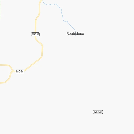
Location Piney Bend (airport) (Missouri) :
| Country flag |  |
| Location | Piney Bend (airport) |
| State | Missouri |
| County | Texas County |
| Country | United States |
| Country code / ISO 2 | US |
| Latitude | 37.4399600 |
| Longitude | -91.9511800 |
| Altitude | 291 meters |
| Time zone | America/Chicago |
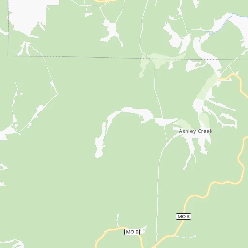
Location Hot Springs National Park (Arkansas) :
| Country flag | |
| Location | Hot Springs National Park |
| State | Arkansas |
| County | Garland County |
| Country | United States |
| Country code / ISO 2 | US |
| Latitude | 34.5317000 |
| Longitude | -93.0637700 |
| Altitude | 0 meters |
| Time zone | America/Chicago |


