
How to get from Matzie (airport) (Missouri) to Belton (Missouri)
Calculate route from Matzie (airport) (Missouri, United States) to Belton (Missouri, United States).
The flight distance (as the crow flies) between Matzie (airport) and Belton is 219.9 km.
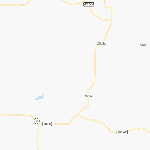
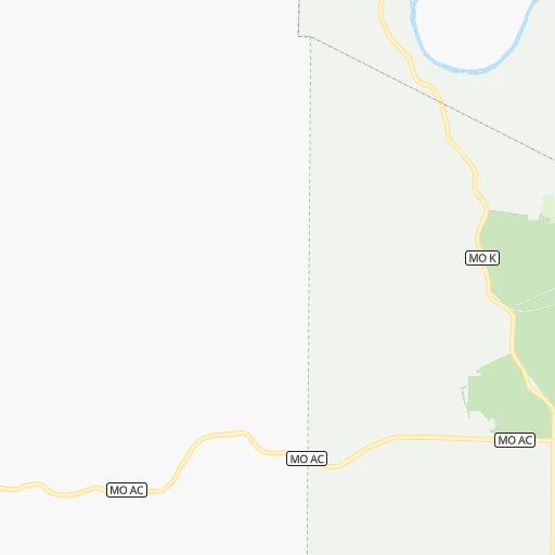
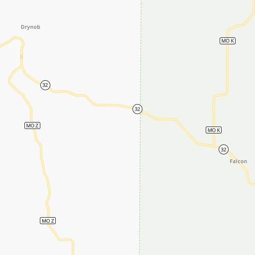
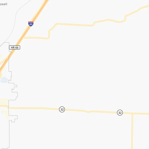
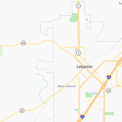
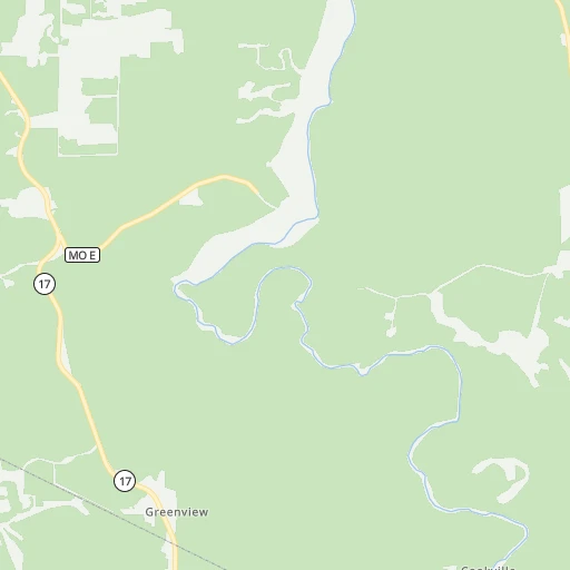
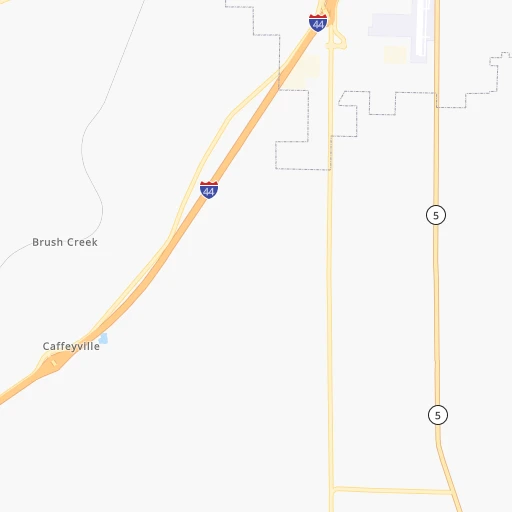
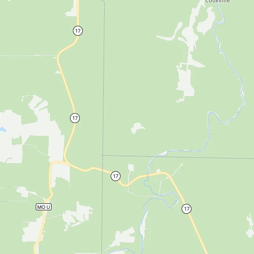
Roadmap (route) to go from Matzie Airport to Belton detailed above, you can also see the course layout on the map.
While doing trip Matzie (airport) - Belton by car, the calculated route ends at a distance , or more straight.
Distance and duration of the route between Matzie (airport) and Belton
Calculation of distance and route from Belton to Matzie (airport) :
219.9266.8 km3h16mn
Continue onto Shady Hollow Lane 0h3mn 1.5 kmTurn right onto Evergreen Road 0h1mn 644 mTurn slight right onto MO 32 0h14mn 14.4 kmTurn right onto South Jefferson Avenue 1h39mn 50.1 kmTurn right onto US 65 1h44mn 60.9 kmKeep right 0h0mn 429 mTurn left onto Outer Road 0h3mn 2.7 kmTurn left onto MO 7 1h32mn 43.3 kmKeep right 1h39mn 62.6 kmKeep right onto MO 7 and take I 49 North, US 71 North, MO 7 North toward Kansas City 0h16mn 27.3 kmKeep right and take MO 58 toward Belton, Raymore 0h0mn 278 mKeep left and take MO 58 West toward Belton 0h0mn 47 mTurn left onto East 171st Street 0h2mn 2.3 kmTurn left onto East Walnut Street 0h1mn 366 mArrive at destination 0h0mn 0 m
Travel from Matzie (airport) (Missouri) to a selection of major cities.
Distances from Matzie Airport to biggest cities in Missouri
- University City,35,058 inhabitants.222 km
- Ballwin,30,577 inhabitants.201 km
- Liberty,30,450 inhabitants.245 km
- Raytown,29,401 inhabitants.229 km
- Mehlville,28,380 inhabitants.213 km
- Kirkwood,27,750 inhabitants.211 km
- Maryland Heights,27,389 inhabitants.216 km
- Gladstone,26,861 inhabitants.250 km
- Hazelwood,25,661 inhabitants.224 km
- Grandview,25,256 inhabitants.225 km
- Webster Groves,23,177 inhabitants.215 km
- Belton,23,168 inhabitants.220 km
- Sedalia,21,516 inhabitants.134 km
- Arnold,21,357 inhabitants.205 km
- Ferguson,21,059 inhabitants.227 km
- Nixa,20,984 inhabitants.98 km
- Raymore,20,374 inhabitants.214 km
- Affton,20,307 inhabitants.214 km
- Rolla,20,019 inhabitants.72 km
Other major cities in country :
- Charlotte [NC], 827,097 inhabitants. 1,077 km
- Seattle [WA], 684,451 inhabitants. 2,662 km
- Denver [CO], 682,545 inhabitants. 1,109 km
- El Paso [TX], 681,124 inhabitants. 1,436 km
- Detroit [MI], 677,116 inhabitants. 959 km
- Boston [MA], 667,137 inhabitants. 1,896 km
- Memphis [TN], 655,770 inhabitants. 354 km
- New South Memphis [TN], 641,608 inhabitants. 359 km
- Portland [OR], 632,309 inhabitants. 2,643 km
- Oklahoma City [OK], 631,346 inhabitants. 510 km
- Las Vegas [NV], 623,747 inhabitants. 2,017 km
- Baltimore [MD], 621,849 inhabitants. 1,395 km
- Washington, D.C. [DC], 601,723 inhabitants. 1,357 km
- Milwaukee [WI], 600,155 inhabitants. 715 km
- South Boston [MA], 571,281 inhabitants. 1,896 km
- Albuquerque [NM], 559,121 inhabitants. 1,299 km
- Tucson [AZ], 531,641 inhabitants. 1,783 km
- Nashville [TN], 530,852 inhabitants. 534 km
- Fresno [CA], 520,052 inhabitants. 2,412 km
- Sacramento [CA], 490,712 inhabitants. 2,531 km
Route from Belton to major cities (United States).
- Distance Belton New York City1,765 km
- Distance Belton Los Angeles2,182 km
- Distance Belton Chicago675 km
- Distance Belton Brooklyn1,770 km
- Distance Belton Houston1,010 km
- Distance Belton Queens1,779 km
- Distance Belton Philadelphia1,668 km
- Distance Belton Phoenix1,683 km
- Distance Belton Manhattan1,768 km
- Distance Belton San Antonio1,107 km
- Distance Belton San Diego2,147 km
- Distance Belton The Bronx1,777 km
- Distance Belton Dallas702 km
- Distance Belton San Jose2,394 km
- Distance Belton Austin996 km
- Distance Belton Jacksonville1,509 km
- Distance Belton San Francisco2,430 km
- Distance Belton Columbus1,000 km
- Distance Belton Fort Worth723 km
- Distance Belton Indianapolis729 km
Nearest cities to Matzie (airport) :
- Memphis, 655,770 inhabitants. 354 km
- New South Memphis, 641,608 inhabitants. 359 km
- Kansas City, 475,378 inhabitants. 243 km
- St. Louis, 315,685 inhabitants. 229 km
- Little Rock, 197,992 inhabitants. 323 km
- Overland Park, 186,515 inhabitants. 241 km
- Springfield, 166,810 inhabitants. 86 km
- Kansas City, 151,306 inhabitants. 248 km
- Olathe, 134,305 inhabitants. 245 km
- Columbia, 119,108 inhabitants. 146 km
- Independence, 117,255 inhabitants. 232 km
- Springfield, 116,565 inhabitants. 345 km
- East Independence, 110,675 inhabitants. 229 km
- Lee's Summit, 95,094 inhabitants. 217 km
- Lawrence, 93,917 inhabitants. 281 km
- Fort Smith, 88,194 inhabitants. 304 km
- O'Fallon, 85,040 inhabitants. 204 km
- Fayetteville, 82,830 inhabitants. 230 km
- Springdale, 77,859 inhabitants. 218 km
- Saint Joseph, 76,780 inhabitants. 312 km
- Jonesboro, 73,907 inhabitants. 257 km
- North Little Rock, 66,504 inhabitants. 321 km
- Saint Charles, 65,794 inhabitants. 217 km
- Shawnee, 65,046 inhabitants. 249 km
- Conway, 64,980 inhabitants. 285 km
- Rogers, 63,159 inhabitants. 206 km
- Bartlett, 58,579 inhabitants. 359 km
- Blue Springs, 54,148 inhabitants. 218 km
- Southaven, 52,589 inhabitants. 370 km
- Saint Peters, 52,575 inhabitants. 208 km
- Lenexa, 52,490 inhabitants. 244 km
- Florissant, 52,268 inhabitants. 229 km
- Joplin, 51,818 inhabitants. 189 km
- Collierville, 48,863 inhabitants. 385 km
- Chesterfield, 47,864 inhabitants. 202 km
- Bentonville, 44,499 inhabitants. 208 km
- Jefferson City, 43,169 inhabitants. 107 km
- Belleville, 42,034 inhabitants. 241 km
- Quincy, 40,780 inhabitants. 272 km
- Cape Girardeau, 39,462 inhabitants. 266 km
- Germantown, 39,240 inhabitants. 373 km
- Muskogee, 38,456 inhabitants. 332 km
- Oakville, 36,143 inhabitants. 213 km
- Olive Branch, 36,010 inhabitants. 383 km
- Leavenworth, 35,980 inhabitants. 281 km
- Wildwood, 35,899 inhabitants. 191 km
- Wentzville, 35,603 inhabitants. 193 km
- University City, 35,058 inhabitants. 222 km
- Leawood, 34,579 inhabitants. 236 km
- Pekin, 33,223 inhabitants. 408 km
Location Matzie (airport) (Missouri) :
| Country flag |  |
| Location | Matzie (airport) |
| State | Missouri |
| County | Laclede County |
| Country | United States |
| Country code / ISO 2 | US |
| Latitude | 37.6469400 |
| Longitude | -92.4957000 |
| Altitude | 340 meters |
| Time zone | America/Chicago |
Location Belton (Missouri) :
| Country flag | |
| Location | Belton |
| State | Missouri |
| County | Cass County |
| Country | United States |
| Country code / ISO 2 | US |
| Latitude | 38.8119500 |
| Longitude | -94.5319000 |
| Altitude | 337 meters |
| Time zone | America/Chicago |
