
How to get from Calhoun Landing Strip (Missouri) to Bartlesville (Oklahoma)
Calculate route from Calhoun Landing Strip (Missouri, United States) to Bartlesville (Oklahoma, United States).
The flight distance (as the crow flies) between Calhoun Landing Strip and Bartlesville is 242.9 km.
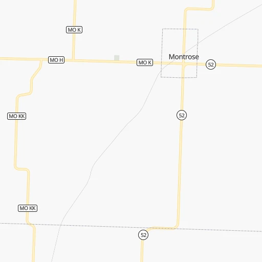
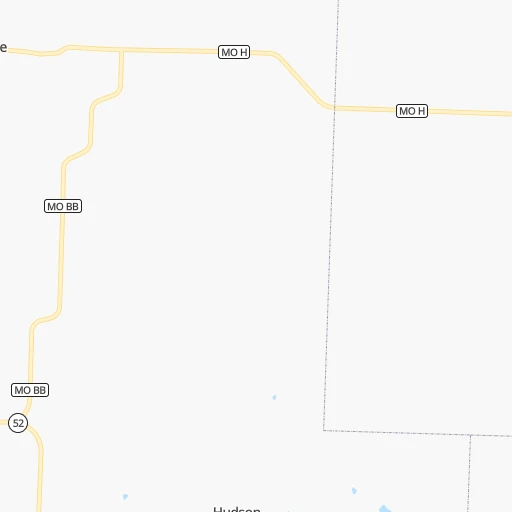
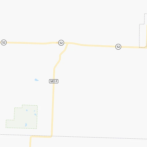
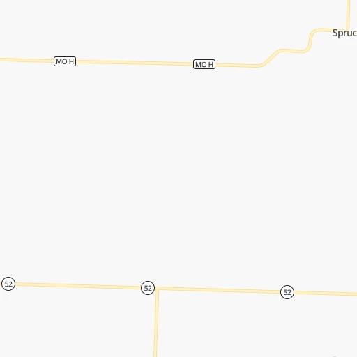
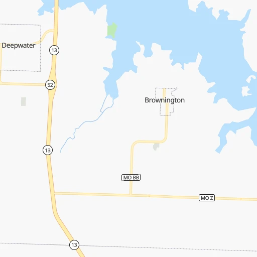
Roadmap (route) to go from Calhoun Landing Strip to Bartlesville detailed above, you can also see the course layout on the map.
While doing trip Calhoun Landing Strip - Bartlesville by car, the calculated route ends at a distance , or more straight.
Distance and duration of the route between Calhoun Landing Strip and Bartlesville
Calculation of distance and route from Bartlesville to Calhoun Landing Strip :
242.9345.4 km4h43mn
Continue 0h1mn 386 mTurn right onto California Avenue 0h1mn 398 mTurn right onto West 2nd Street 0h10mn 11.2 kmTurn left onto State Highway BB 0h5mn 6.3 kmTurn right onto MO 52 0h14mn 19.6 kmTurn left and take I 49 South, US 71 South toward Joplin 1h12mn 121.9 kmKeep right and take MO 571 South, MO 96, I 49 Business, MO 171 North toward Webb City 0h0mn 216 mKeep right and take MO 571 South, MO 96, I 49 Business, MO 171 North toward Webb City 0h12mn 19.9 kmKeep right and take I 44 West toward Tulsa 1h47mn 83.5 kmKeep right and take US 60, US 69 toward Vinita 0h0mn 560 mKeep left and drive toward Cash Only 0h0mn 193 mTurn right onto East Illinois Avenue 0h1mn 1.4 kmTurn left onto South Vann Street 0h1mn 698 mTurn right onto Attucks Avenue 0h0mn 123 mTurn left onto South Wilson Street 0h5mn 7.5 kmKeep right onto US 60 and take US 60 West toward Nowata, Bartlesville 0h0mn 85 mTurn slight right onto US 60 0h26mn 38.0 kmTurn right onto North Pine Street and take US 60 West toward Bartlesville 0h0mn 127 mTurn left onto West Delaware Avenue and take US 60 West toward Bartlesville 0h0mn 246 mTurn right onto North Hickory Street 0h0mn 120 mTurn left onto West Davis Drive and take US 60 West toward Bartlesville 0h23mn 28.7 kmKeep right 0h1mn 1.5 kmTurn left onto Southeast Adams Boulevard 0h3mn 2.6 kmTurn right onto Southwest Jennings Avenue 0h0mn 37 mTurn right 0h0mn 15 mArrive at destination 0h0mn 0 m
Travel from Calhoun Landing Strip (Oklahoma) to a selection of major cities.
Distances from Calhoun Landing Strip to biggest cities in Missouri
- University City,35,058 inhabitants.324 km
- Ballwin,30,577 inhabitants.303 km
- Liberty,30,450 inhabitants.116 km
- Raytown,29,401 inhabitants.93 km
- Mehlville,28,380 inhabitants.321 km
- Kirkwood,27,750 inhabitants.315 km
- Maryland Heights,27,389 inhabitants.314 km
- Gladstone,26,861 inhabitants.116 km
- Hazelwood,25,661 inhabitants.320 km
- Grandview,25,256 inhabitants.84 km
- Webster Groves,23,177 inhabitants.319 km
- Belton,23,168 inhabitants.77 km
- Sedalia,21,516 inhabitants.83 km
- Arnold,21,357 inhabitants.316 km
- Ferguson,21,059 inhabitants.326 km
- Nixa,20,984 inhabitants.149 km
- Raymore,20,374 inhabitants.72 km
- Affton,20,307 inhabitants.321 km
- Rolla,20,019 inhabitants.197 km
Other major cities in country :
- Charlotte [NC], 827,097 inhabitants. 1,219 km
- Seattle [WA], 684,451 inhabitants. 2,515 km
- Denver [CO], 682,545 inhabitants. 965 km
- El Paso [TX], 681,124 inhabitants. 1,348 km
- Detroit [MI], 677,116 inhabitants. 1,033 km
- Boston [MA], 667,137 inhabitants. 1,993 km
- Memphis [TN], 655,770 inhabitants. 494 km
- New South Memphis [TN], 641,608 inhabitants. 498 km
- Portland [OR], 632,309 inhabitants. 2,495 km
- Oklahoma City [OK], 631,346 inhabitants. 442 km
- Las Vegas [NV], 623,747 inhabitants. 1,885 km
- Baltimore [MD], 621,849 inhabitants. 1,510 km
- Washington, D.C. [DC], 601,723 inhabitants. 1,475 km
- Milwaukee [WI], 600,155 inhabitants. 739 km
- South Boston [MA], 571,281 inhabitants. 1,993 km
- Albuquerque [NM], 559,121 inhabitants. 1,183 km
- Tucson [AZ], 531,641 inhabitants. 1,677 km
- Nashville [TN], 530,852 inhabitants. 680 km
- Fresno [CA], 520,052 inhabitants. 2,276 km
- Sacramento [CA], 490,712 inhabitants. 2,390 km
Route from Bartlesville to major cities (United States).
- Distance Bartlesville New York City1,953 km
- Distance Bartlesville Los Angeles2,038 km
- Distance Bartlesville Chicago914 km
- Distance Bartlesville Brooklyn1,957 km
- Distance Bartlesville Houston780 km
- Distance Bartlesville Queens1,967 km
- Distance Bartlesville Philadelphia1,848 km
- Distance Bartlesville Phoenix1,509 km
- Distance Bartlesville Manhattan1,957 km
- Distance Bartlesville San Antonio848 km
- Distance Bartlesville San Diego1,985 km
- Distance Bartlesville The Bronx1,966 km
- Distance Bartlesville Dallas448 km
- Distance Bartlesville San Jose2,296 km
- Distance Bartlesville Austin740 km
- Distance Bartlesville Jacksonville1,507 km
- Distance Bartlesville San Francisco2,337 km
- Distance Bartlesville Columbus1,187 km
- Distance Bartlesville Fort Worth464 km
- Distance Bartlesville Indianapolis921 km
Nearest cities to Calhoun Landing Strip :
- Kansas City, 475,378 inhabitants. 106 km
- Omaha, 443,885 inhabitants. 373 km
- Tulsa, 403,505 inhabitants. 294 km
- Lincoln, 277,348 inhabitants. 364 km
- Overland Park, 186,515 inhabitants. 100 km
- Springfield, 166,810 inhabitants. 131 km
- Kansas City, 151,306 inhabitants. 110 km
- Olathe, 134,305 inhabitants. 100 km
- Topeka, 127,265 inhabitants. 171 km
- Columbia, 119,108 inhabitants. 163 km
- Independence, 117,255 inhabitants. 100 km
- East Independence, 110,675 inhabitants. 98 km
- Broken Arrow, 106,563 inhabitants. 293 km
- Lee's Summit, 95,094 inhabitants. 80 km
- Lawrence, 93,917 inhabitants. 134 km
- Fort Smith, 88,194 inhabitants. 322 km
- Fayetteville, 82,830 inhabitants. 245 km
- Springdale, 77,859 inhabitants. 231 km
- Saint Joseph, 76,780 inhabitants. 184 km
- Shawnee, 65,046 inhabitants. 108 km
- Rogers, 63,159 inhabitants. 215 km
- Manhattan, 56,308 inhabitants. 247 km
- Bellevue, 55,510 inhabitants. 359 km
- Blue Springs, 54,148 inhabitants. 88 km
- Lenexa, 52,490 inhabitants. 101 km
- Joplin, 51,818 inhabitants. 139 km
- Bentonville, 44,499 inhabitants. 211 km
- Jefferson City, 43,169 inhabitants. 162 km
- Quincy, 40,780 inhabitants. 291 km
- Muskogee, 38,456 inhabitants. 305 km
- Bartlesville, 36,595 inhabitants. 243 km
- Leavenworth, 35,980 inhabitants. 142 km
- Leawood, 34,579 inhabitants. 96 km
- Owasso, 34,542 inhabitants. 276 km
- Shawnee, 31,286 inhabitants. 418 km
- Liberty, 30,450 inhabitants. 116 km
- Raytown, 29,401 inhabitants. 93 km
- Russellville, 29,166 inhabitants. 341 km
- Bella Vista, 27,999 inhabitants. 200 km
- Gladstone, 26,861 inhabitants. 116 km
- Burlington, 25,410 inhabitants. 376 km
- Grandview, 25,256 inhabitants. 84 km
- Bixby, 24,657 inhabitants. 308 km
- Emporia, 24,649 inhabitants. 192 km
- Ottumwa, 24,624 inhabitants. 336 km
- Junction City, 24,621 inhabitants. 261 km
- Belton, 23,168 inhabitants. 77 km
- Van Buren, 23,081 inhabitants. 316 km
- Prairie Village, 21,877 inhabitants. 99 km
- Sedalia, 21,516 inhabitants. 83 km
Location Calhoun Landing Strip (Missouri) :
| Country flag |  |
| Location | Calhoun Landing Strip |
| State | Missouri |
| County | Henry County |
| Country | United States |
| Country code / ISO 2 | US |
| Latitude | 38.2600200 |
| Longitude | -93.9913300 |
| Altitude | 256 meters |
| Time zone | America/Chicago |
Location Bartlesville (Oklahoma) :
| Country flag | |
| Location | Bartlesville |
| State | Oklahoma |
| County | Washington County |
| Country | United States |
| Country code / ISO 2 | US |
| Latitude | 36.7473100 |
| Longitude | -95.9808200 |
| Altitude | 214 meters |
| Time zone | America/Chicago |


