
How to get from Bolivar Memorial (airport) (Missouri) to Conway (Arkansas)
Calculate route from Bolivar Memorial (airport) (Missouri, United States) to Conway (Arkansas, United States).
The flight distance (as the crow flies) between Bolivar Memorial (airport) and Conway is 293.6 km.
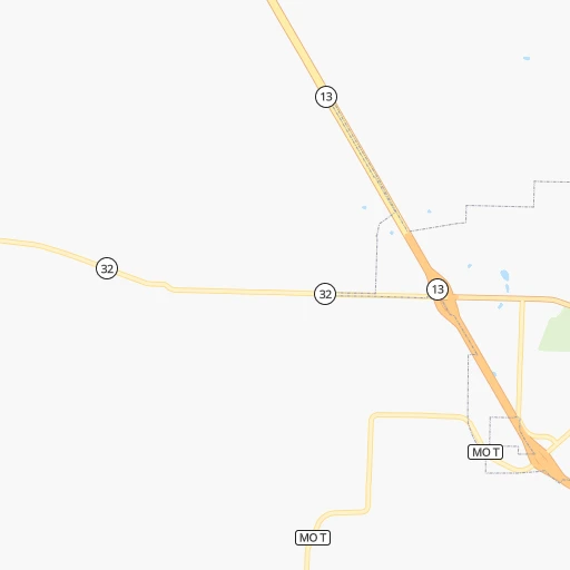
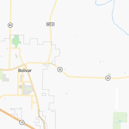
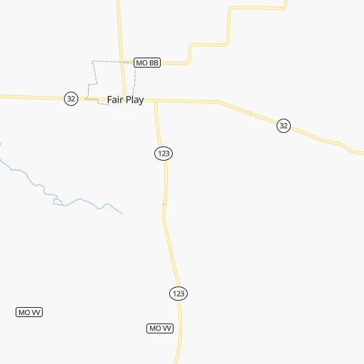
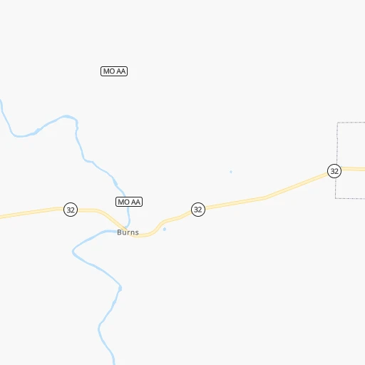
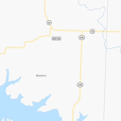
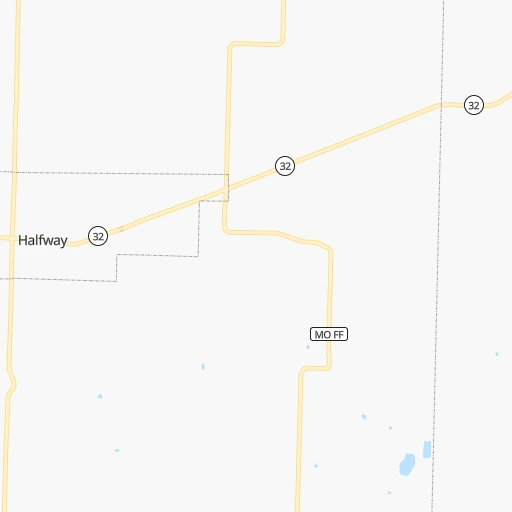
Roadmap (route) to go from Bolivar Memorial Airport to Conway detailed above, you can also see the course layout on the map.
While doing trip Bolivar Memorial (airport) - Conway by car, the calculated route ends at a distance , or more straight.
Distance and duration of the route between Bolivar Memorial (airport) and Conway
Calculation of distance and route from Conway to Bolivar Memorial (airport) :
293.6346.9 km4h14mn
Continue 0h0mn 42 mTurn left 0h0mn 105 mTurn left 0h1mn 457 mTurn right 0h0mn 202 mTurn left onto South Killingsworth Avenue 0h2mn 1.7 kmTurn right onto West Aldrich Road 0h0mn 412 mTurn sharp left and take MO 13 South toward Springfield 0h27mn 41.5 kmKeep left and take I 44 East toward Rolla, Saint Louis 0h5mn 7.2 kmKeep right and take US 65 South toward Branson 1h19mn 119.7 kmContinue onto North Main Street 0h6mn 5.3 kmContinue onto South Main Street 0h0mn 163 mTurn slight right onto US 62, US 65, US 412 2h11mn 168.3 kmAt roundabout, take exit 2 onto Harkrider Street 0h0mn 416 mAt roundabout, take exit 1 onto Markham Street 0h1mn 852 mAt roundabout, take exit 2 onto Chestnut Street 0h0mn 102 mTurn right onto Oak Street 0h0mn 113 mTurn left onto Front Street 0h0mn 144 mTurn right onto Main Street 0h0mn 178 mArrive at destination 0h0mn 0 m
Travel from Bolivar Memorial (airport) (Arkansas) to a selection of major cities.
Distances from Bolivar Memorial Airport to biggest cities in Missouri
- University City,35,058 inhabitants.297 km
- Ballwin,30,577 inhabitants.275 km
- Liberty,30,450 inhabitants.202 km
- Raytown,29,401 inhabitants.180 km
- Mehlville,28,380 inhabitants.290 km
- Kirkwood,27,750 inhabitants.286 km
- Maryland Heights,27,389 inhabitants.290 km
- Gladstone,26,861 inhabitants.203 km
- Hazelwood,25,661 inhabitants.297 km
- Grandview,25,256 inhabitants.172 km
- Webster Groves,23,177 inhabitants.291 km
- Belton,23,168 inhabitants.165 km
- Sedalia,21,516 inhabitants.123 km
- Arnold,21,357 inhabitants.283 km
- Ferguson,21,059 inhabitants.301 km
- Nixa,20,984 inhabitants.64 km
- Raymore,20,374 inhabitants.160 km
- Affton,20,307 inhabitants.291 km
- Rolla,20,019 inhabitants.151 km
Other major cities in country :
- Charlotte [NC], 827,097 inhabitants. 1,157 km
- Seattle [WA], 684,451 inhabitants. 2,596 km
- Denver [CO], 682,545 inhabitants. 1,031 km
- El Paso [TX], 681,124 inhabitants. 1,359 km
- Detroit [MI], 677,116 inhabitants. 1,029 km
- Boston [MA], 667,137 inhabitants. 1,973 km
- Memphis [TN], 655,770 inhabitants. 408 km
- New South Memphis [TN], 641,608 inhabitants. 413 km
- Portland [OR], 632,309 inhabitants. 2,573 km
- Oklahoma City [OK], 631,346 inhabitants. 436 km
- Las Vegas [NV], 623,747 inhabitants. 1,935 km
- Baltimore [MD], 621,849 inhabitants. 1,476 km
- Washington, D.C. [DC], 601,723 inhabitants. 1,438 km
- Milwaukee [WI], 600,155 inhabitants. 765 km
- South Boston [MA], 571,281 inhabitants. 1,974 km
- Albuquerque [NM], 559,121 inhabitants. 1,217 km
- Tucson [AZ], 531,641 inhabitants. 1,703 km
- Nashville [TN], 530,852 inhabitants. 613 km
- Fresno [CA], 520,052 inhabitants. 2,331 km
- Sacramento [CA], 490,712 inhabitants. 2,452 km
Route from Conway to major cities (United States).
- Distance Conway New York City1,732 km
- Distance Conway Los Angeles2,361 km
- Distance Conway Chicago860 km
- Distance Conway Brooklyn1,735 km
- Distance Conway Houston653 km
- Distance Conway Queens1,745 km
- Distance Conway Philadelphia1,616 km
- Distance Conway Phoenix1,812 km
- Distance Conway Manhattan1,737 km
- Distance Conway San Antonio849 km
- Distance Conway San Diego2,294 km
- Distance Conway The Bronx1,747 km
- Distance Conway Dallas478 km
- Distance Conway San Jose2,646 km
- Distance Conway Austin731 km
- Distance Conway Jacksonville1,140 km
- Distance Conway San Francisco2,690 km
- Distance Conway Columbus994 km
- Distance Conway Fort Worth522 km
- Distance Conway Indianapolis761 km
Nearest cities to Bolivar Memorial (airport) :
- Kansas City, 475,378 inhabitants. 194 km
- Tulsa, 403,505 inhabitants. 280 km
- Little Rock, 197,992 inhabitants. 335 km
- Overland Park, 186,515 inhabitants. 187 km
- Springfield, 166,810 inhabitants. 45 km
- Kansas City, 151,306 inhabitants. 198 km
- Olathe, 134,305 inhabitants. 187 km
- Topeka, 127,265 inhabitants. 253 km
- Columbia, 119,108 inhabitants. 178 km
- Independence, 117,255 inhabitants. 186 km
- East Independence, 110,675 inhabitants. 184 km
- Broken Arrow, 106,563 inhabitants. 273 km
- Lee's Summit, 95,094 inhabitants. 167 km
- Lawrence, 93,917 inhabitants. 219 km
- Fort Smith, 88,194 inhabitants. 262 km
- O'Fallon, 85,040 inhabitants. 274 km
- Fayetteville, 82,830 inhabitants. 184 km
- Springdale, 77,859 inhabitants. 170 km
- Saint Joseph, 76,780 inhabitants. 270 km
- Jonesboro, 73,907 inhabitants. 313 km
- North Little Rock, 66,504 inhabitants. 333 km
- Saint Charles, 65,794 inhabitants. 289 km
- Shawnee, 65,046 inhabitants. 195 km
- Conway, 64,980 inhabitants. 294 km
- Rogers, 63,159 inhabitants. 155 km
- Blue Springs, 54,148 inhabitants. 174 km
- Saint Peters, 52,575 inhabitants. 279 km
- Lenexa, 52,490 inhabitants. 188 km
- Joplin, 51,818 inhabitants. 112 km
- Chesterfield, 47,864 inhabitants. 276 km
- Bentonville, 44,499 inhabitants. 154 km
- Jefferson City, 43,169 inhabitants. 154 km
- Quincy, 40,780 inhabitants. 313 km
- Muskogee, 38,456 inhabitants. 270 km
- Bartlesville, 36,595 inhabitants. 246 km
- Leavenworth, 35,980 inhabitants. 230 km
- Wildwood, 35,899 inhabitants. 266 km
- Wentzville, 35,603 inhabitants. 262 km
- Leawood, 34,579 inhabitants. 183 km
- Owasso, 34,542 inhabitants. 262 km
- Ballwin, 30,577 inhabitants. 275 km
- Sherwood, 30,517 inhabitants. 329 km
- Liberty, 30,450 inhabitants. 202 km
- Raytown, 29,401 inhabitants. 180 km
- Russellville, 29,166 inhabitants. 261 km
- Jacksonville, 28,643 inhabitants. 327 km
- Bella Vista, 27,999 inhabitants. 146 km
- Paragould, 27,900 inhabitants. 313 km
- Maryland Heights, 27,389 inhabitants. 290 km
- Gladstone, 26,861 inhabitants. 203 km
Location Bolivar Memorial (airport) (Missouri) :
| Country flag |  |
| Location | Bolivar Memorial (airport) |
| State | Missouri |
| County | Polk County |
| Country | United States |
| Country code / ISO 2 | US |
| Latitude | 37.6083700 |
| Longitude | -93.4293600 |
| Altitude | 334 meters |
| Time zone | America/Chicago |
Location Conway (Arkansas) :
| Country flag | |
| Location | Conway |
| State | Arkansas |
| County | Faulkner County |
| Country | United States |
| Country code / ISO 2 | US |
| Latitude | 35.0887000 |
| Longitude | -92.4421000 |
| Altitude | 95 meters |
| Time zone | America/Chicago |


