
How to get from Glenair (airport) (Maryland) to Bowie (Maryland)
Calculate route from Glenair (airport) (Maryland, United States) to Bowie (Maryland, United States).
The flight distance (as the crow flies) between Glenair (airport) and Bowie is 43.3 km.
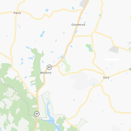
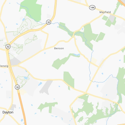
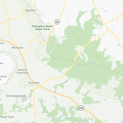
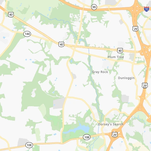
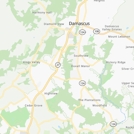
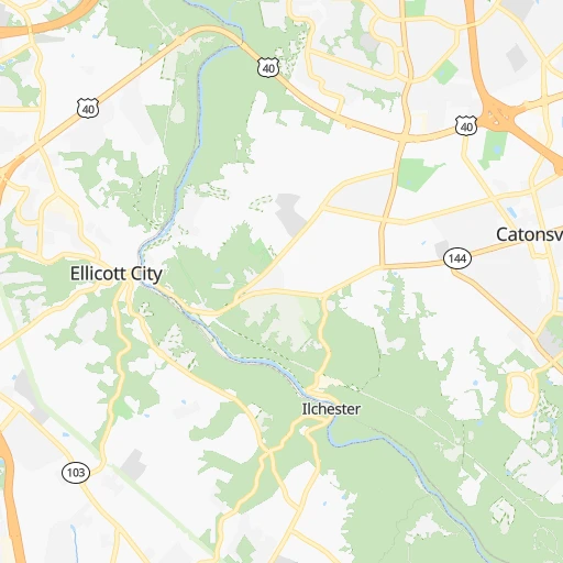
Roadmap (route) to go from Glenair Airport to Bowie detailed above, you can also see the course layout on the map.
While doing trip Glenair (airport) - Bowie by car, the calculated route ends at a distance , or more straight.
Distance and duration of the route between Glenair (airport) and Bowie
Calculation of distance and route from Bowie to Glenair (airport) :
43.351.2 km1h51mn
Continue 0h1mn 276 mTurn left onto Ryon Drive 0h1mn 525 mTurn right onto Kennard Drive 0h1mn 617 mTurn left onto Triadelphia Road 0h1mn 758 mAt roundabout, take exit 1 onto Ten Oaks Road 0h3mn 2.8 kmKeep left onto Ten Oaks Road 0h2mn 1.4 kmTurn left onto Linden Church Road 0h0mn 159 mTurn right 0h6mn 8.0 kmKeep right and drive toward Cedar Lane, Sanner Road 0h0mn 553 mKeep right and drive toward Sanner Road 0h0mn 418 mContinue onto Sanner Road 0h2mn 2.3 kmTurn left onto Johns Hopkins Road 0h1mn 1.4 kmAt roundabout, take exit 1 onto Johns Hopkins Road 0h2mn 1.7 kmTurn right onto Leishear Road 0h2mn 1.3 kmTurn left onto MD 216 0h5mn 5.3 kmTurn left onto Gorman Avenue 0h1mn 661 mTurn right onto Washington Boulevard 0h0mn 122 mTurn left onto Bowie Road 0h18mn 18.9 kmTurn slight right onto Collington Road 0h4mn 3.8 kmTurn right onto Evergreen Parkway 0h0mn 257 mContinue 0h0mn 35 mTurn sharp right 0h0mn 79 mTurn slight left 0h0mn 33 mArrive at destination 0h0mn 0 m
Travel from Glenair (airport) (Maryland) to a selection of major cities.
Distances from Glenair Airport to biggest cities in Maryland
- North Bethesda,43,828 inhabitants.27 km
- Catonsville,41,567 inhabitants.24 km
- Hagerstown,40,432 inhabitants.74 km
- Annapolis,39,474 inhabitants.55 km
- Essex,39,262 inhabitants.46 km
- Hanover,38,088 inhabitants.26 km
- Woodlawn,37,879 inhabitants.25 km
- Severna Park,37,634 inhabitants.45 km
- Odenton,37,132 inhabitants.33 km
- Saint Charles,36,376 inhabitants.74 km
- Clinton,35,970 inhabitants.57 km
- Oxon Hill-Glassmanor,35,355 inhabitants.53 km
- North Bel Air,33,925 inhabitants.64 km
- Olney,33,844 inhabitants.14 km
- Suitland-Silver Hill,33,515 inhabitants.48 km
- Chillum,33,513 inhabitants.34 km
- St. Charles,33,379 inhabitants.74 km
- Salisbury,32,899 inhabitants.158 km
- Randallstown,32,430 inhabitants.21 km
- College Park,32,301 inhabitants.33 km
Other major cities in country :
- Charlotte [NC], 827,097 inhabitants. 564 km
- Seattle [WA], 684,451 inhabitants. 3,723 km
- Denver [CO], 682,545 inhabitants. 2,394 km
- El Paso [TX], 681,124 inhabitants. 2,785 km
- Detroit [MI], 677,116 inhabitants. 612 km
- Boston [MA], 667,137 inhabitants. 607 km
- Memphis [TN], 655,770 inhabitants. 1,243 km
- New South Memphis [TN], 641,608 inhabitants. 1,246 km
- Portland [OR], 632,309 inhabitants. 3,766 km
- Oklahoma City [OK], 631,346 inhabitants. 1,859 km
- Las Vegas [NV], 623,747 inhabitants. 3,350 km
- Washington, D.C. [DC], 601,723 inhabitants. 42 km
- Milwaukee [WI], 600,155 inhabitants. 1,004 km
- South Boston [MA], 571,281 inhabitants. 607 km
- Albuquerque [NM], 559,121 inhabitants. 2,658 km
- Tucson [AZ], 531,641 inhabitants. 3,144 km
- Nashville [TN], 530,852 inhabitants. 927 km
- Fresno [CA], 520,052 inhabitants. 3,727 km
- Sacramento [CA], 490,712 inhabitants. 3,814 km
- Kansas City [MO], 475,378 inhabitants. 1,514 km
Route from Bowie to major cities (United States).
- Distance Bowie New York City305 km
- Distance Bowie Los Angeles3,722 km
- Distance Bowie Chicago980 km
- Distance Bowie Brooklyn304 km
- Distance Bowie Houston1,988 km
- Distance Bowie Queens314 km
- Distance Bowie Philadelphia175 km
- Distance Bowie Phoenix3,213 km
- Distance Bowie Manhattan313 km
- Distance Bowie San Antonio2,259 km
- Distance Bowie San Diego3,684 km
- Distance Bowie The Bronx324 km
- Distance Bowie Dallas1,932 km
- Distance Bowie San Jose3,917 km
- Distance Bowie Austin2,147 km
- Distance Bowie Jacksonville1,059 km
- Distance Bowie San Francisco3,948 km
- Distance Bowie Columbus550 km
- Distance Bowie Fort Worth1,978 km
- Distance Bowie Indianapolis816 km
Nearest cities to Glenair (airport) :
- New York City, 8,175,133 inhabitants. 302 km
- Philadelphia, 1,567,442 inhabitants. 175 km
- Baltimore, 621,849 inhabitants. 34 km
- Washington, D.C., 601,723 inhabitants. 42 km
- Staten Island, 468,730 inhabitants. 284 km
- Virginia Beach, 452,745 inhabitants. 284 km
- Pittsburgh, 304,391 inhabitants. 287 km
- Newark, 281,944 inhabitants. 291 km
- Jersey City, 264,290 inhabitants. 298 km
- Norfolk, 246,393 inhabitants. 277 km
- Chesapeake, 235,429 inhabitants. 280 km
- Richmond, 220,289 inhabitants. 195 km
- Arlington, 207,627 inhabitants. 44 km
- Newport News, 182,385 inhabitants. 248 km
- Alexandria, 153,511 inhabitants. 52 km
- East Hampton, 147,993 inhabitants. 255 km
- Paterson, 147,754 inhabitants. 303 km
- Hampton, 136,454 inhabitants. 256 km
- Elizabeth, 129,007 inhabitants. 284 km
- Sunset Park, 126,000 inhabitants. 298 km
- Allentown, 120,207 inhabitants. 197 km
- Edison, 102,548 inhabitants. 261 km
- Roanoke, 99,897 inhabitants. 340 km
- Columbia, 99,615 inhabitants. 15 km
- Portsmouth Heights, 99,049 inhabitants. 278 km
- Portsmouth, 96,201 inhabitants. 278 km
- Toms River, 88,791 inhabitants. 252 km
- Suffolk, 88,161 inhabitants. 285 km
- Reading, 87,879 inhabitants. 150 km
- Germantown, 86,395 inhabitants. 25 km
- Clifton, 86,334 inhabitants. 300 km
- Trenton, 84,225 inhabitants. 220 km
- South Suffolk, 80,690 inhabitants. 286 km
- Lynchburg, 79,812 inhabitants. 278 km
- Scranton, 77,118 inhabitants. 264 km
- Camden, 76,119 inhabitants. 177 km
- Bethlehem, 74,892 inhabitants. 206 km
- Wilmington, 71,948 inhabitants. 136 km
- Silver Spring, 71,452 inhabitants. 31 km
- Centreville, 71,135 inhabitants. 60 km
- Passaic, 71,085 inhabitants. 302 km
- Cherry Hill, 70,475 inhabitants. 185 km
- Frederick, 69,479 inhabitants. 38 km
- Union City, 69,156 inhabitants. 305 km
- Waldorf, 67,752 inhabitants. 72 km
- Glen Burnie, 67,639 inhabitants. 35 km
- Gaithersburg, 67,456 inhabitants. 22 km
- Rockville, 66,980 inhabitants. 24 km
- Bayonne, 66,311 inhabitants. 292 km
- Dale City, 65,969 inhabitants. 75 km
Location Glenair (airport) (Maryland) :
| Country flag |  |
| Location | Glenair (airport) |
| State | Maryland |
| County | Howard County |
| Country | United States |
| Country code / ISO 2 | US |
| Latitude | 39.2693700 |
| Longitude | -77.0049600 |
| Altitude | 176 meters |
| Time zone | America/New_York |
Location Bowie (Maryland) :
| Country flag | |
| Location | Bowie |
| State | Maryland |
| County | Prince George's County |
| Country | United States |
| Country code / ISO 2 | US |
| Latitude | 38.9427800 |
| Longitude | -76.7302800 |
| Altitude | 42 meters |
| Time zone | America/New_York |


