

How to get from Wendell H Ford (airport) (Kentucky) to San Antonio (Texas)
Calculate route from Wendell H Ford (airport) (Kentucky, United States) to San Antonio (Texas, United States).
The flight distance (as the crow flies) between Wendell H Ford (airport) and San Antonio is 1,663.8 km.
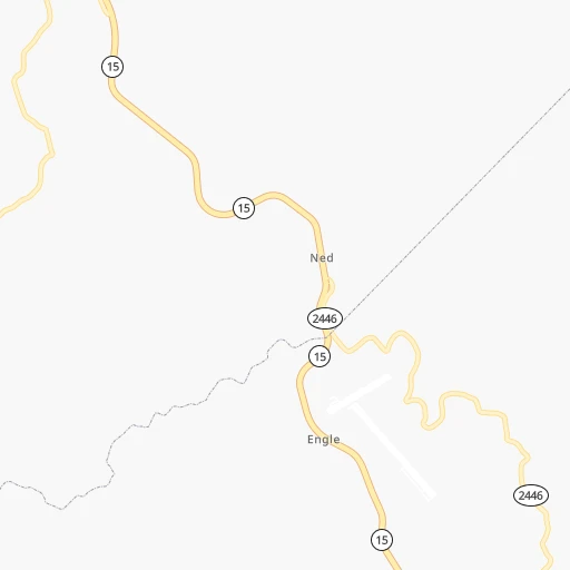
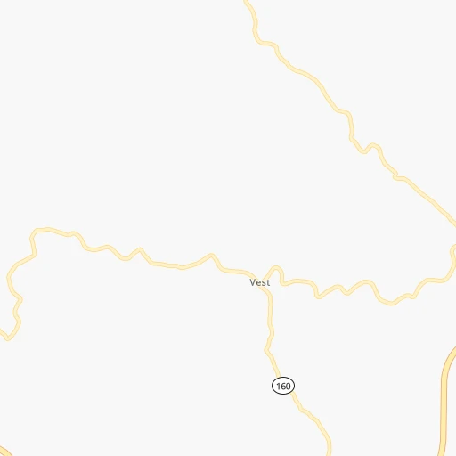
Roadmap (route) to go from Wendell H Ford Airport to San Antonio detailed above, you can also see the course layout on the map.
While doing trip Wendell H Ford (airport) - San Antonio by car, the calculated route ends at a distance , or more straight.
Distance and duration of the route between Wendell H Ford (airport) and San Antonio
Calculation of distance and route from San Antonio to Wendell H Ford (airport) :
1,663.81,917.5 km20h7mn
Continue onto Regional Airport Road 0h1mn 597 mTurn left onto KY 15 0h12mn 13.5 kmKeep right 0h3mn 3.9 kmKeep right 0h1mn 835 mContinue onto Hal Rogers Parkway 2h49mn 127.5 kmKeep right onto KY 461 0h1mn 647 mTurn sharp left 0h1mn 1.1 kmKeep left onto KY 80 0h15mn 17.2 kmTurn right onto KY 914 0h1mn 682 mKeep left and drive toward Bowling Green 1h12mn 120.6 kmKeep right and take US 31E toward Glasgow, Scottsville 0h0mn 528 mKeep left and take US 31E toward Glasgow, Scottsville 0h0mn 44 mTurn left onto Scottsville Road 1h14mn 89.1 kmTurn slight right onto West Main Street 0h9mn 11.1 kmKeep right onto US 31E Bypass and take TN 386 toward Nashville 0h19mn 29.4 kmKeep right onto I 65 and take I 65 South toward Huntisville, Memphis 0h2mn 3.2 kmKeep left and take I 40 West toward Memphis 3h9mn 316.9 kmContinue onto Sam Cooper Boulevard 0h4mn 5.6 kmKeep right and drive toward Highland Street 0h0mn 413 mKeep right 0h0mn 63 mTurn slight right onto North Highland Street 0h0mn 76 mTurn left onto Summer Avenue 0h9mn 8.5 kmTurn left onto North Danny Thomas Boulevard 0h0mn 350 mKeep right and take I 40 West toward Little Rock 0h10mn 14.2 kmKeep left onto I 40 2h52mn 189.6 kmKeep right and take I 40, AR 440 toward Jacksonville, Texarkana 0h0mn 303 mKeep left and take I 440 West toward Texarkana 5h60mn 523.5 kmKeep right and take I 35E toward Denton, Waco 0h1mn 933 mKeep left and take I 35E South, I 35E North toward Waco, Denton 0h0mn 195 mKeep left and take I 35E North, I 35E South toward Denton, Waco 0h0mn 44 mKeep left and take I 35E South toward Waco 2h6mn 217.3 kmKeep left onto I 35 1h52mn 90.0 kmContinue onto Purple Heart Trail and drive toward 32nd Street, Dean Keeton Street 1h8mn 113.3 kmKeep right toward I 410 West, Loop 368 South 0h1mn 699 mKeep right and take Loop 368 South toward Alamo Heights 0h7mn 8.2 kmTurn left onto Broadway 0h6mn 6.3 kmTurn right onto East Travis Street 0h1mn 662 mTurn left onto North Flores Street 0h0mn 367 mTurn left onto Dolorosa Street 0h0mn 99 mArrive at destination 0h0mn 0 m
Travel from Wendell H Ford (airport) (Texas) to a selection of major cities.
Distances from Wendell H Ford Airport to biggest cities in Kentucky
- Valley Station,22,756 inhabitants.243 km
- Radcliff,22,387 inhabitants.242 km
- Ashland,21,108 inhabitants.133 km
Other major cities in country :
- Charlotte [NC], 827,097 inhabitants. 324 km
- Seattle [WA], 684,451 inhabitants. 3,361 km
- Denver [CO], 682,545 inhabitants. 1,904 km
- El Paso [TX], 681,124 inhabitants. 2,213 km
- Detroit [MI], 677,116 inhabitants. 551 km
- Boston [MA], 667,137 inhabitants. 1,179 km
- Memphis [TN], 655,770 inhabitants. 658 km
- New South Memphis [TN], 641,608 inhabitants. 661 km
- Portland [OR], 632,309 inhabitants. 3,374 km
- Oklahoma City [OK], 631,346 inhabitants. 1,293 km
- Las Vegas [NV], 623,747 inhabitants. 2,832 km
- Baltimore [MD], 621,849 inhabitants. 618 km
- Washington, D.C. [DC], 601,723 inhabitants. 570 km
- Milwaukee [WI], 600,155 inhabitants. 742 km
- South Boston [MA], 571,281 inhabitants. 1,178 km
- Albuquerque [NM], 559,121 inhabitants. 2,110 km
- Tucson [AZ], 531,641 inhabitants. 2,583 km
- Nashville [TN], 530,852 inhabitants. 342 km
- Fresno [CA], 520,052 inhabitants. 3,223 km
- Sacramento [CA], 490,712 inhabitants. 3,333 km
Route from San Antonio to major cities (United States).
- Distance San Antonio New York City2,548 km
- Distance San Antonio Los Angeles1,936 km
- Distance San Antonio Chicago1,693 km
- Distance San Antonio Brooklyn2,550 km
- Distance San Antonio Queens2,560 km
- Distance San Antonio Philadelphia2,425 km
- Distance San Antonio Phoenix1,364 km
- Distance San Antonio Manhattan2,554 km
- Distance San Antonio San Diego1,815 km
- Distance San Antonio The Bronx2,564 km
- Distance San Antonio San Jose2,339 km
- Distance San Antonio Jacksonville1,627 km
- Distance San Antonio San Francisco2,396 km
- Distance San Antonio Columbus1,836 km
- Distance San Antonio Indianapolis1,610 km
- Distance San Antonio Charlotte1,778 km
- Distance San Antonio Seattle2,877 km
- Distance San Antonio Denver1,292 km
- Distance San Antonio Detroit1,995 km
- Distance San Antonio Boston2,844 km
Nearest cities to Wendell H Ford (airport) :
- Columbus, 850,106 inhabitants. 287 km
- Indianapolis, 829,718 inhabitants. 366 km
- Charlotte, 827,097 inhabitants. 324 km
- Lexington-Fayette, 314,488 inhabitants. 129 km
- Cincinnati, 296,943 inhabitants. 222 km
- Meads, 288,649 inhabitants. 124 km
- Ironville, 288,649 inhabitants. 129 km
- Louisville, 243,639 inhabitants. 240 km
- Lexington, 225,366 inhabitants. 126 km
- Knoxville, 185,291 inhabitants. 169 km
- Chattanooga, 176,588 inhabitants. 319 km
- East Chattanooga, 154,024 inhabitants. 314 km
- Dayton, 140,599 inhabitants. 276 km
- Carmel, 88,713 inhabitants. 380 km
- Asheville, 88,512 inhabitants. 209 km
- Concord, 87,696 inhabitants. 326 km
- Fishers, 76,794 inhabitants. 373 km
- Gastonia, 74,543 inhabitants. 301 km
- Rock Hill, 71,548 inhabitants. 340 km
- Muncie, 70,087 inhabitants. 363 km
- Johnson City, 66,027 inhabitants. 144 km
- Greenville, 64,579 inhabitants. 293 km
- Hamilton, 62,407 inhabitants. 251 km
- Springfield, 59,680 inhabitants. 286 km
- Noblesville, 59,093 inhabitants. 380 km
- Greenwood, 55,586 inhabitants. 350 km
- Kettering, 55,525 inhabitants. 268 km
- Anderson, 55,305 inhabitants. 368 km
- Kingsport, 53,014 inhabitants. 112 km
- Huntersville, 52,704 inhabitants. 309 km
- Charleston, 49,736 inhabitants. 179 km
- Middletown, 48,760 inhabitants. 257 km
- Huntington, 48,638 inhabitants. 135 km
- Newark, 47,986 inhabitants. 307 km
- Lawrence, 47,809 inhabitants. 364 km
- Jeffersonville, 46,960 inhabitants. 239 km
- Columbus, 46,690 inhabitants. 308 km
- Beavercreek, 46,277 inhabitants. 268 km
- Kannapolis, 46,144 inhabitants. 317 km
- Dublin, 45,098 inhabitants. 302 km
- Blacksburg, 44,215 inhabitants. 253 km
- Cleveland, 43,898 inhabitants. 287 km
- Fairfield, 42,767 inhabitants. 246 km
- Covington, 40,997 inhabitants. 218 km
- Hickory, 40,374 inhabitants. 252 km
- Lancaster, 39,766 inhabitants. 265 km
- Grove City, 39,388 inhabitants. 278 km
- Westerville, 38,384 inhabitants. 306 km
- Huber Heights, 38,176 inhabitants. 284 km
- Delaware, 37,995 inhabitants. 325 km
Location Wendell H Ford (airport) (Kentucky) :
| Country flag |  |
| Location | Wendell H Ford (airport) |
| State | Kentucky |
| County | Perry County |
| Country | United States |
| Country code / ISO 2 | US |
| Latitude | 37.3875400 |
| Longitude | -83.2625900 |
| Altitude | 396 meters |
| Time zone | America/New_York |
Location San Antonio (Texas) :
| Country flag | |
| Location | San Antonio |
| State | Texas |
| County | Bexar County |
| Country | United States |
| Country code / ISO 2 | US |
| Latitude | 29.4241200 |
| Longitude | -98.4936300 |
| Altitude | 198 meters |
| Time zone | America/Chicago |


