
Home
››
Morehead-Rowan County Clyde A Thomas Regional Airport
››
Roadmap from Morehead-Rowan County Clyde A Thomas Regional Airport to Beavercreek
How to get from Morehead-Rowan County Clyde A Thomas Regional (airport) (Kentucky) to Beavercreek (Ohio)
Calculate route from Morehead-Rowan County Clyde A Thomas Regional (airport) (Kentucky, United States) to Beavercreek (Ohio, United States).
The flight distance (as the crow flies) between Morehead-Rowan County Clyde A Thomas Regional (airport) and Beavercreek is 171.2 km.
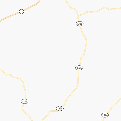
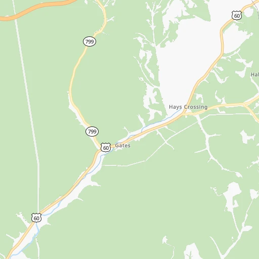
Roadmap (route) to go from Morehead-Rowan County Clyde A Thomas Regional Airport to Beavercreek detailed above, you can also see the course layout on the map.
While doing trip Morehead-Rowan County Clyde A Thomas Regional (airport) - Beavercreek by car, the calculated route ends at a distance , or more straight.
Distance and duration of the route between Morehead-Rowan County Clyde A Thomas Regional (airport) and Beavercreek
An error occured: profile parameter required - for url https://route.cartes.cc/route?point=38.21418%2C-83.58604&point=39.70923%2C-84.06327&vehicle=car&debug=false&data_type=application%2Fjson&locale=en&points_encoded=true&instructions=true&elevation=false&optimize=false&timeout=10000&skip.host=true&skip.basePath=true&graphhopper_maps_host=https%3A%2F%2Fgraphhopper.com%2Fmaps%2F%3F&turn_sign_map.0=continue&turn_sign_map.1=turn%20slight%20right&turn_sign_map.2=turn%20right&turn_sign_map.3=turn%20sharp%20right&turn_sign_map.4=finish&turn_sign_map.5=reached%20via%20point&turn_sign_map.6=enter%20roundabout&turn_sign_map.-6=leave%20roundabout&turn_sign_map.-3=turn%20sharp%20left&turn_sign_map.-2=turn%20left&turn_sign_map.-1=turn%20slight%20left&key=&position=topleft
Calculation of distance and route from Beavercreek to Morehead-Rowan County Clyde A Thomas Regional (airport) :
171.2205.8 km3h7mn
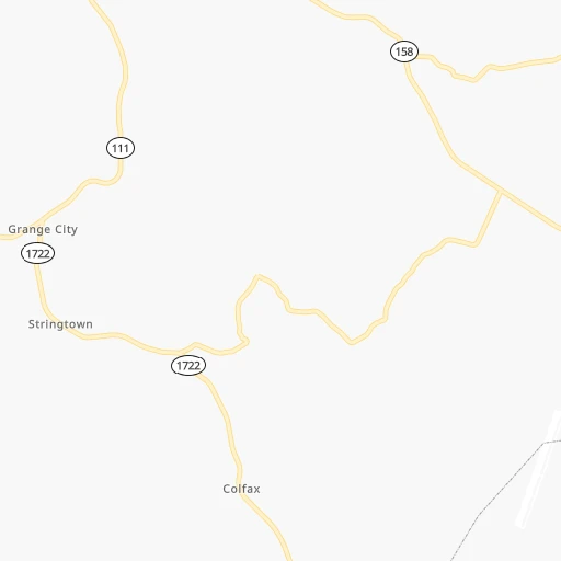
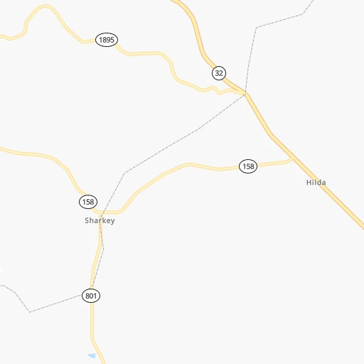
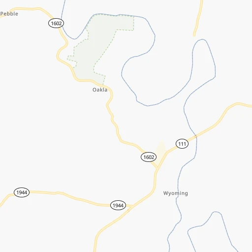
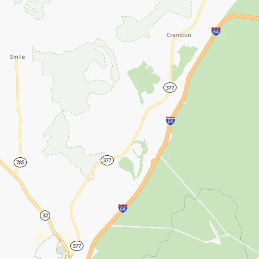
Continue 0h5mn 2.7 kmTurn left onto KY 801 0h1mn 1.5 kmTurn left onto KY 158 0h12mn 12.1 kmTurn right onto KY 111 0h13mn 12.1 kmTurn left onto KY 32 0h1mn 1.5 kmTurn sharp right onto KY 32 Business 0h25mn 26.1 kmContinue onto KY 11 and take KY 11 North toward Maysville 0h4mn 4.4 kmKeep right toward US 62 East, KY 10 West 0h0mn 66 mTurn slight right onto Coughlin Boulevard 0h0mn 434 mTurn left onto East 3rd Street 0h0mn 418 mTurn right onto US 62 and drive toward Ohio 0h1mn 1.0 kmTurn left onto US 52, US 62 Business and drive toward Ripley 0h1mn 425 mContinue onto US 52, US 62 Business 0h12mn 12.8 kmTurn right onto US 62, US 68 and drive toward Russelville 1h32mn 39.8 kmAt roundabout, take exit 2 onto North High Street 1h42mn 49.2 kmTurn left onto Xenia Avenue 0h23mn 25.5 kmTurn left and take US 35 West toward Dayton 0h8mn 11.4 kmKeep left 0h0mn 346 mTurn right onto Yellow Brick Road 0h5mn 3.9 kmTurn right onto North Fairfield Road 0h0mn 85 mArrive at destination 0h0mn 0 m
Travel from Morehead-Rowan County Clyde A Thomas Regional (airport) (Ohio) to a selection of major cities.
Distances from Morehead-Rowan County Clyde A Thomas Regional Airport to biggest cities in Kentucky
- Valley Station,22,756 inhabitants.200 km
- Radcliff,22,387 inhabitants.211 km
- Ashland,21,108 inhabitants.88 km
Other major cities in country :
- Charlotte [NC], 827,097 inhabitants. 413 km
- Seattle [WA], 684,451 inhabitants. 3,288 km
- Denver [CO], 682,545 inhabitants. 1,855 km
- El Paso [TX], 681,124 inhabitants. 2,202 km
- Detroit [MI], 677,116 inhabitants. 461 km
- Boston [MA], 667,137 inhabitants. 1,158 km
- Memphis [TN], 655,770 inhabitants. 670 km
- New South Memphis [TN], 641,608 inhabitants. 674 km
- Portland [OR], 632,309 inhabitants. 3,306 km
- Oklahoma City [OK], 631,346 inhabitants. 1,277 km
- Las Vegas [NV], 623,747 inhabitants. 2,794 km
- Baltimore [MD], 621,849 inhabitants. 617 km
- Washington, D.C. [DC], 601,723 inhabitants. 575 km
- Milwaukee [WI], 600,155 inhabitants. 649 km
- South Boston [MA], 571,281 inhabitants. 1,158 km
- Albuquerque [NM], 559,121 inhabitants. 2,084 km
- Tucson [AZ], 531,641 inhabitants. 2,564 km
- Nashville [TN], 530,852 inhabitants. 364 km
- Fresno [CA], 520,052 inhabitants. 3,180 km
- Sacramento [CA], 490,712 inhabitants. 3,284 km
Route from Beavercreek to major cities (United States).
- Distance Beavercreek New York City862 km
- Distance Beavercreek Los Angeles3,088 km
- Distance Beavercreek Chicago385 km
- Distance Beavercreek Brooklyn866 km
- Distance Beavercreek Houston1,512 km
- Distance Beavercreek Queens876 km
- Distance Beavercreek Philadelphia761 km
- Distance Beavercreek Phoenix2,587 km
- Distance Beavercreek Manhattan866 km
- Distance Beavercreek San Antonio1,745 km
- Distance Beavercreek San Diego3,054 km
- Distance Beavercreek The Bronx875 km
- Distance Beavercreek Dallas1,377 km
- Distance Beavercreek San Jose3,281 km
- Distance Beavercreek Austin1,628 km
- Distance Beavercreek Jacksonville1,067 km
- Distance Beavercreek San Francisco3,312 km
- Distance Beavercreek Fort Worth1,420 km
- Distance Beavercreek Indianapolis179 km
- Distance Beavercreek Charlotte574 km
Nearest cities to Morehead-Rowan County Clyde A Thomas Regional (airport) :
- Columbus, 850,106 inhabitants. 201 km
- Indianapolis, 829,718 inhabitants. 282 km
- Charlotte, 827,097 inhabitants. 413 km
- Lexington-Fayette, 314,488 inhabitants. 79 km
- Cincinnati, 296,943 inhabitants. 130 km
- Meads, 288,649 inhabitants. 80 km
- Ironville, 288,649 inhabitants. 83 km
- Fort Wayne, 260,326 inhabitants. 351 km
- Louisville, 243,639 inhabitants. 190 km
- Lexington, 225,366 inhabitants. 82 km
- Akron, 197,542 inhabitants. 365 km
- Knoxville, 185,291 inhabitants. 253 km
- Dayton, 140,599 inhabitants. 180 km
- Murfreesboro, 126,118 inhabitants. 363 km
- Carmel, 88,713 inhabitants. 294 km
- Asheville, 88,512 inhabitants. 305 km
- Bloomington, 84,067 inhabitants. 277 km
- Fishers, 76,794 inhabitants. 286 km
- Gastonia, 74,543 inhabitants. 392 km
- Canton, 71,885 inhabitants. 345 km
- Muncie, 70,087 inhabitants. 270 km
- Johnson City, 66,027 inhabitants. 238 km
- Youngstown, 64,628 inhabitants. 408 km
- Bowling Green, 63,616 inhabitants. 286 km
- Hamilton, 62,407 inhabitants. 157 km
- Springfield, 59,680 inhabitants. 191 km
- Noblesville, 59,093 inhabitants. 292 km
- Kokomo, 57,995 inhabitants. 335 km
- Greenwood, 55,586 inhabitants. 268 km
- Kettering, 55,525 inhabitants. 172 km
- Anderson, 55,305 inhabitants. 277 km
- Kingsport, 53,014 inhabitants. 206 km
- Huntersville, 52,704 inhabitants. 396 km
- Charleston, 49,736 inhabitants. 171 km
- Cuyahoga Falls, 49,146 inhabitants. 372 km
- Middletown, 48,760 inhabitants. 161 km
- Huntington, 48,638 inhabitants. 102 km
- Newark, 47,986 inhabitants. 229 km
- Lawrence, 47,809 inhabitants. 278 km
- Jeffersonville, 46,960 inhabitants. 188 km
- Mansfield, 46,830 inhabitants. 298 km
- Columbus, 46,690 inhabitants. 231 km
- Smyrna, 46,607 inhabitants. 360 km
- Beavercreek, 46,277 inhabitants. 171 km
- Kannapolis, 46,144 inhabitants. 402 km
- Dublin, 45,098 inhabitants. 214 km
- Fairfield, 42,767 inhabitants. 152 km
- Findlay, 41,149 inhabitants. 315 km
- Covington, 40,997 inhabitants. 126 km
- Hickory, 40,374 inhabitants. 341 km
Location Morehead-Rowan County Clyde A Thomas Regional (airport) (Kentucky) :
| Country flag |  |
| Location | Morehead-Rowan County Clyde A Thomas Regional (airport) |
| State | Kentucky |
| County | Rowan County |
| Country | United States |
| Country code / ISO 2 | US |
| Latitude | 38.2141800 |
| Longitude | -83.5860400 |
| Altitude | 316 meters |
| Time zone | America/New_York |
Location Beavercreek (Ohio) :
| Country flag | |
| Location | Beavercreek |
| State | Ohio |
| County | Greene County |
| Country | United States |
| Country code / ISO 2 | US |
| Latitude | 39.7092300 |
| Longitude | -84.0632700 |
| Altitude | 266 meters |
| Time zone | America/New_York |


