

Home
››
Greene County Parachute Center Airport
››
Roadmap from Greene County Parachute Center Airport to Lancaster
How to get from Greene County Parachute Center (airport) (Kentucky) to Lancaster (Ohio)
Calculate route from Greene County Parachute Center (airport) (Kentucky, United States) to Lancaster (Ohio, United States).
The flight distance (as the crow flies) between Greene County Parachute Center (airport) and Lancaster is 330.7 km.
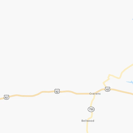
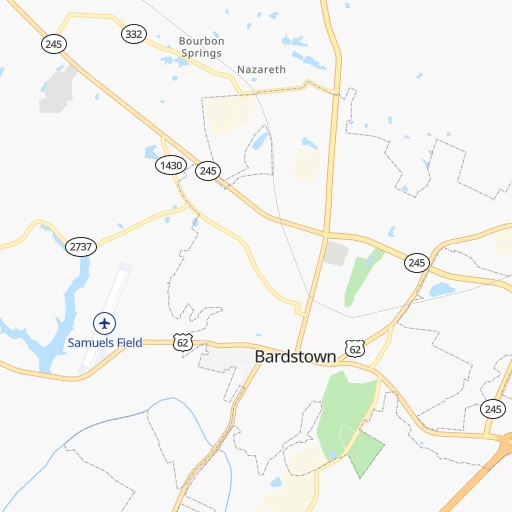
Roadmap (route) to go from Greene County Parachute Center Airport to Lancaster detailed above, you can also see the course layout on the map.
While doing trip Greene County Parachute Center (airport) - Lancaster by car, the calculated route ends at a distance , or more straight.
Distance and duration of the route between Greene County Parachute Center (airport) and Lancaster
Calculation of distance and route from Lancaster to Greene County Parachute Center (airport) :
330.7384.3 km5h13mn
Continue onto Airport Road 0h1mn 648 mTurn left onto Boston Road 0h6mn 6.2 kmAt roundabout, take exit 2 onto Court Square 0h4mn 3.9 kmTurn left 1h45mn 74.9 kmKeep right and take US 60 East toward Lexington 0h8mn 10.3 kmKeep right and take KY 4 North toward New Circle Road 0h8mn 9.9 kmTurn left onto North Broadway Road 0h20mn 22.7 kmContinue onto Main Street 0h13mn 14.7 kmTurn right onto Millersburg Road 0h4mn 3.6 kmTurn right onto US 68 0h4mn 4.3 kmTurn left onto Maysville Road 0h5mn 4.5 kmTurn left onto Carlisle Bypass 1h30mn 38.2 kmContinue onto US 68 Business 0h6mn 7.1 kmTurn left 0h0mn 42 mTurn slight right onto Lexington Pike 0h2mn 1.3 kmTurn left onto Sutton Street 0h0mn 121 mTurn right onto West 3rd Street 0h0mn 452 mTurn left onto US 62 and drive toward Ohio 0h1mn 1.0 kmTurn left onto US 52, US 62 Business and drive toward Ripley 0h1mn 425 mTurn right onto Market Street and drive toward West Union 1h41mn 47.7 kmTurn right onto James A. Rhodes Appalachian Highway 1h32mn 38.4 kmTurn left onto SR 104 0h9mn 9.8 kmTurn left onto West Emmitt Avenue 0h22mn 28.0 kmKeep right onto US 23 and take US 23 North toward Columbus 0h3mn 4.3 kmKeep right and take SR 159 toward Kingston 0h0mn 492 mTurn right onto North Bridge Street 0h4mn 3.6 kmAt roundabout, take exit 1 onto SR 159 0h1mn 699 mAt roundabout, take exit 2 onto SR 159 0h5mn 5.0 kmTurn right onto SR 159 0h17mn 17.1 kmTurn left onto Harrison Street 0h17mn 17.1 kmAt roundabout, take exit 1 onto Cincinnati-Zanesville Road Southwest 0h0mn 170 mAt roundabout, take exit 2 onto Cincinnati-Zanesville Road Southwest 0h6mn 7.0 kmContinue onto West Main Street 0h1mn 605 mArrive at destination 0h0mn 0 m
Travel from Greene County Parachute Center (airport) (Ohio) to a selection of major cities.
Distances from Greene County Parachute Center Airport to biggest cities in Kentucky
- Valley Station,22,756 inhabitants.44 km
- Radcliff,22,387 inhabitants.36 km
- Ashland,21,108 inhabitants.265 km
Other major cities in country :
- Charlotte [NC], 827,097 inhabitants. 509 km
- Seattle [WA], 684,451 inhabitants. 3,166 km
- Denver [CO], 682,545 inhabitants. 1,698 km
- El Paso [TX], 681,124 inhabitants. 2,025 km
- Detroit [MI], 677,116 inhabitants. 546 km
- Boston [MA], 667,137 inhabitants. 1,331 km
- Memphis [TN], 655,770 inhabitants. 501 km
- New South Memphis [TN], 641,608 inhabitants. 506 km
- Portland [OR], 632,309 inhabitants. 3,174 km
- Oklahoma City [OK], 631,346 inhabitants. 1,100 km
- Las Vegas [NV], 623,747 inhabitants. 2,627 km
- Baltimore [MD], 621,849 inhabitants. 794 km
- Washington, D.C. [DC], 601,723 inhabitants. 752 km
- Milwaukee [WI], 600,155 inhabitants. 615 km
- South Boston [MA], 571,281 inhabitants. 1,331 km
- Albuquerque [NM], 559,121 inhabitants. 1,910 km
- Tucson [AZ], 531,641 inhabitants. 2,388 km
- Nashville [TN], 530,852 inhabitants. 214 km
- Fresno [CA], 520,052 inhabitants. 3,017 km
- Sacramento [CA], 490,712 inhabitants. 3,126 km
Route from Lancaster to major cities (United States).
- Distance Lancaster New York City739 km
- Distance Lancaster Los Angeles3,214 km
- Distance Lancaster Chicago488 km
- Distance Lancaster Brooklyn743 km
- Distance Lancaster Houston1,606 km
- Distance Lancaster Queens753 km
- Distance Lancaster Philadelphia636 km
- Distance Lancaster Phoenix2,712 km
- Distance Lancaster Manhattan743 km
- Distance Lancaster San Antonio1,848 km
- Distance Lancaster San Diego3,179 km
- Distance Lancaster The Bronx752 km
- Distance Lancaster Dallas1,488 km
- Distance Lancaster San Jose3,405 km
- Distance Lancaster Austin1,732 km
- Distance Lancaster Jacksonville1,048 km
- Distance Lancaster San Francisco3,436 km
- Distance Lancaster Fort Worth1,531 km
- Distance Lancaster Indianapolis305 km
- Distance Lancaster Charlotte523 km
Nearest cities to Greene County Parachute Center (airport) :
- Columbus, 850,106 inhabitants. 325 km
- Indianapolis, 829,718 inhabitants. 224 km
- Nashville, 530,852 inhabitants. 214 km
- Lexington-Fayette, 314,488 inhabitants. 98 km
- Cincinnati, 296,943 inhabitants. 171 km
- Meads, 288,649 inhabitants. 257 km
- Ironville, 288,649 inhabitants. 259 km
- Louisville, 243,639 inhabitants. 53 km
- Lexington, 225,366 inhabitants. 95 km
- Knoxville, 185,291 inhabitants. 252 km
- Chattanooga, 176,588 inhabitants. 309 km
- East Chattanooga, 154,024 inhabitants. 307 km
- Clarksville, 149,176 inhabitants. 216 km
- Dayton, 140,599 inhabitants. 246 km
- Murfreesboro, 126,118 inhabitants. 232 km
- Evansville, 119,943 inhabitants. 178 km
- Carmel, 88,713 inhabitants. 246 km
- Asheville, 88,512 inhabitants. 363 km
- Champaign, 86,096 inhabitants. 347 km
- Bloomington, 84,067 inhabitants. 173 km
- Fishers, 76,794 inhabitants. 242 km
- Franklin, 72,639 inhabitants. 241 km
- Lafayette, 71,111 inhabitants. 312 km
- Muncie, 70,087 inhabitants. 265 km
- Bowling Green, 63,616 inhabitants. 122 km
- Hamilton, 62,407 inhabitants. 196 km
- Terre Haute, 60,825 inhabitants. 246 km
- Springfield, 59,680 inhabitants. 279 km
- Noblesville, 59,093 inhabitants. 252 km
- Owensboro, 59,042 inhabitants. 139 km
- Kokomo, 57,995 inhabitants. 302 km
- Hendersonville, 56,018 inhabitants. 194 km
- Greenwood, 55,586 inhabitants. 206 km
- Kettering, 55,525 inhabitants. 240 km
- Anderson, 55,305 inhabitants. 255 km
- Kingsport, 53,014 inhabitants. 299 km
- Middletown, 48,760 inhabitants. 214 km
- Lawrence, 47,809 inhabitants. 229 km
- Jeffersonville, 46,960 inhabitants. 54 km
- Columbus, 46,690 inhabitants. 158 km
- Smyrna, 46,607 inhabitants. 222 km
- Beavercreek, 46,277 inhabitants. 247 km
- West Lafayette, 45,550 inhabitants. 314 km
- Dublin, 45,098 inhabitants. 330 km
- Cleveland, 43,898 inhabitants. 302 km
- Fairfield, 42,767 inhabitants. 190 km
- Urbana, 42,311 inhabitants. 344 km
- Brentwood, 41,763 inhabitants. 227 km
- Covington, 40,997 inhabitants. 167 km
- Lancaster, 39,766 inhabitants. 331 km
Location Greene County Parachute Center (airport) (Kentucky) :
| Country flag |  |
| Location | Greene County Parachute Center (airport) |
| State | Kentucky |
| County | Nelson County |
| Country | United States |
| Country code / ISO 2 | US |
| Latitude | 37.8153000 |
| Longitude | -85.5393700 |
| Altitude | 192 meters |
| Time zone | America/New_York |
Location Lancaster (Ohio) :
| Country flag | |
| Location | Lancaster |
| State | Ohio |
| County | Fairfield County |
| Country | United States |
| Country code / ISO 2 | US |
| Latitude | 39.7136800 |
| Longitude | -82.5993300 |
| Altitude | 268 meters |
| Time zone | America/New_York |
