
How to get from Grayson County (airport) (Kentucky) to Richmond (Kentucky)
Calculate route from Grayson County (airport) (Kentucky, United States) to Richmond (Kentucky, United States).
The flight distance (as the crow flies) between Grayson County (airport) and Richmond is 177.4 km.
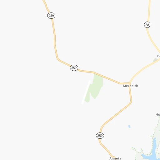
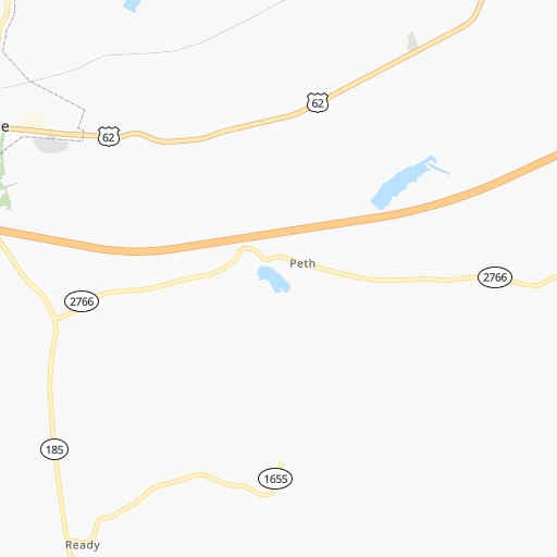
Roadmap (route) to go from Grayson County Airport to Richmond detailed above, you can also see the course layout on the map.
While doing trip Grayson County (airport) - Richmond by car, the calculated route ends at a distance , or more straight.
Distance and duration of the route between Grayson County (airport) and Richmond
Calculation of distance and route from Richmond to Grayson County (airport) :
177.4218.4 km3h51mn
Continue onto Airport Road 0h3mn 1.3 kmTurn left onto Anneta Road 0h6mn 6.9 kmTurn right 0h29mn 47.8 kmKeep right and take I 65 North toward Lexington, Louisville 0h1mn 596 mKeep left and take I 65 North toward Lexington, Louisville 0h2mn 3.1 kmKeep right and drive toward Lexington, Bardstown 0h24mn 39.2 kmKeep right onto US 31E Truck and drive toward Bardstown 0h0mn 424 mKeep right 0h0mn 41 mTurn slight right onto Springfield Road 1h57mn 66.1 kmTurn right onto Wilderness Road 0h2mn 2.0 kmTurn left onto Lancaster Road 0h20mn 21.8 kmTurn left onto Kirksville Road 0h18mn 18.5 kmTurn left onto Lancaster Road 0h9mn 10.2 kmTurn right onto West Main Street 0h0mn 263 mTurn left onto North 2nd Street 0h0mn 32 mArrive at destination 0h0mn 0 m
Travel from Grayson County (airport) (Kentucky) to a selection of major cities.
Distances from Grayson County Airport to biggest cities in Kentucky
- Valley Station,22,756 inhabitants.86 km
- Radcliff,22,387 inhabitants.56 km
- Ashland,21,108 inhabitants.340 km
Other major cities in country :
- Charlotte [NC], 827,097 inhabitants. 543 km
- Seattle [WA], 684,451 inhabitants. 3,137 km
- Denver [CO], 682,545 inhabitants. 1,647 km
- El Paso [TX], 681,124 inhabitants. 1,953 km
- Detroit [MI], 677,116 inhabitants. 614 km
- Boston [MA], 667,137 inhabitants. 1,408 km
- Memphis [TN], 655,770 inhabitants. 422 km
- New South Memphis [TN], 641,608 inhabitants. 427 km
- Portland [OR], 632,309 inhabitants. 3,139 km
- Oklahoma City [OK], 631,346 inhabitants. 1,030 km
- Las Vegas [NV], 623,747 inhabitants. 2,568 km
- Baltimore [MD], 621,849 inhabitants. 868 km
- Washington, D.C. [DC], 601,723 inhabitants. 824 km
- Milwaukee [WI], 600,155 inhabitants. 643 km
- South Boston [MA], 571,281 inhabitants. 1,408 km
- Albuquerque [NM], 559,121 inhabitants. 1,845 km
- Tucson [AZ], 531,641 inhabitants. 2,320 km
- Nashville [TN], 530,852 inhabitants. 145 km
- Fresno [CA], 520,052 inhabitants. 2,961 km
- Sacramento [CA], 490,712 inhabitants. 3,075 km
Route from Richmond to major cities (United States).
- Distance Richmond New York City946 km
- Distance Richmond Los Angeles3,072 km
- Distance Richmond Chicago539 km
- Distance Richmond Brooklyn948 km
- Distance Richmond Houston1,354 km
- Distance Richmond Queens959 km
- Distance Richmond Philadelphia828 km
- Distance Richmond Phoenix2,550 km
- Distance Richmond Manhattan951 km
- Distance Richmond San Antonio1,607 km
- Distance Richmond San Diego3,025 km
- Distance Richmond The Bronx962 km
- Distance Richmond Dallas1,263 km
- Distance Richmond San Jose3,296 km
- Distance Richmond Austin1,492 km
- Distance Richmond Jacksonville861 km
- Distance Richmond San Francisco3,331 km
- Distance Richmond Columbus271 km
- Distance Richmond Fort Worth1,308 km
- Distance Richmond Indianapolis277 km
Nearest cities to Grayson County (airport) :
- Indianapolis, 829,718 inhabitants. 264 km
- Nashville, 530,852 inhabitants. 145 km
- Lexington-Fayette, 314,488 inhabitants. 174 km
- Cincinnati, 296,943 inhabitants. 245 km
- Louisville, 243,639 inhabitants. 105 km
- Lexington, 225,366 inhabitants. 170 km
- Huntsville, 190,582 inhabitants. 299 km
- Knoxville, 185,291 inhabitants. 263 km
- Chattanooga, 176,588 inhabitants. 276 km
- East Chattanooga, 154,024 inhabitants. 275 km
- Clarksville, 149,176 inhabitants. 138 km
- Dayton, 140,599 inhabitants. 318 km
- Murfreesboro, 126,118 inhabitants. 173 km
- Evansville, 119,943 inhabitants. 131 km
- Carmel, 88,713 inhabitants. 287 km
- Champaign, 86,096 inhabitants. 348 km
- Bloomington, 84,067 inhabitants. 198 km
- Fishers, 76,794 inhabitants. 285 km
- Decatur, 73,254 inhabitants. 359 km
- Franklin, 72,639 inhabitants. 173 km
- Muncie, 70,087 inhabitants. 320 km
- Jackson, 66,975 inhabitants. 303 km
- Bowling Green, 63,616 inhabitants. 48 km
- Hamilton, 62,407 inhabitants. 267 km
- Terre Haute, 60,825 inhabitants. 251 km
- Springfield, 59,680 inhabitants. 353 km
- Noblesville, 59,093 inhabitants. 295 km
- Owensboro, 59,042 inhabitants. 86 km
- Hendersonville, 56,018 inhabitants. 126 km
- Greenwood, 55,586 inhabitants. 247 km
- Kettering, 55,525 inhabitants. 313 km
- Decatur, 55,437 inhabitants. 318 km
- Anderson, 55,305 inhabitants. 305 km
- Middletown, 48,760 inhabitants. 286 km
- Lawrence, 47,809 inhabitants. 272 km
- Madison, 46,962 inhabitants. 304 km
- Jeffersonville, 46,960 inhabitants. 108 km
- Columbus, 46,690 inhabitants. 203 km
- Smyrna, 46,607 inhabitants. 159 km
- Beavercreek, 46,277 inhabitants. 320 km
- Cleveland, 43,898 inhabitants. 279 km
- Fairfield, 42,767 inhabitants. 263 km
- Urbana, 42,311 inhabitants. 346 km
- Brentwood, 41,763 inhabitants. 159 km
- Covington, 40,997 inhabitants. 242 km
- Florence, 40,026 inhabitants. 316 km
- Huber Heights, 38,176 inhabitants. 329 km
- Columbia, 36,800 inhabitants. 210 km
- Westfield, 36,738 inhabitants. 294 km
- New Albany, 36,732 inhabitants. 106 km
Location Grayson County (airport) (Kentucky) :
| Country flag |  |
| Location | Grayson County (airport) |
| State | Kentucky |
| County | Grayson County |
| Country | United States |
| Country code / ISO 2 | US |
| Latitude | 37.4004600 |
| Longitude | -86.2610100 |
| Altitude | 232 meters |
| Time zone | America/Chicago |
Location Richmond (Kentucky) :
| Country flag | |
| Location | Richmond |
| State | Kentucky |
| County | Madison County |
| Country | United States |
| Country code / ISO 2 | US |
| Latitude | 37.7478600 |
| Longitude | -84.2946500 |
| Altitude | 289 meters |
| Time zone | America/New_York |


