
How to get from Fulton (airport) (Kentucky) to Elizabethtown (Kentucky)
Calculate route from Fulton (airport) (Kentucky, United States) to Elizabethtown (Kentucky, United States).
The flight distance (as the crow flies) between Fulton (airport) and Elizabethtown is 300.1 km.
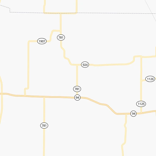
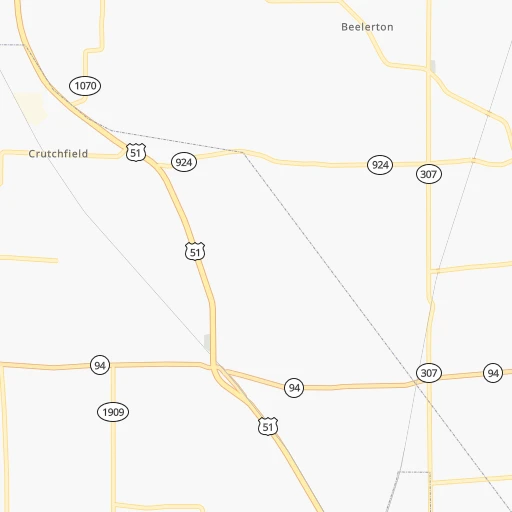
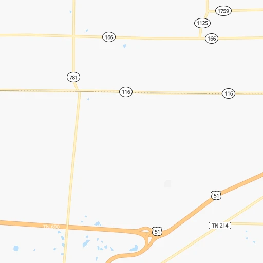
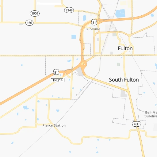
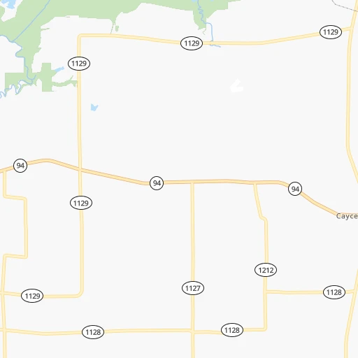
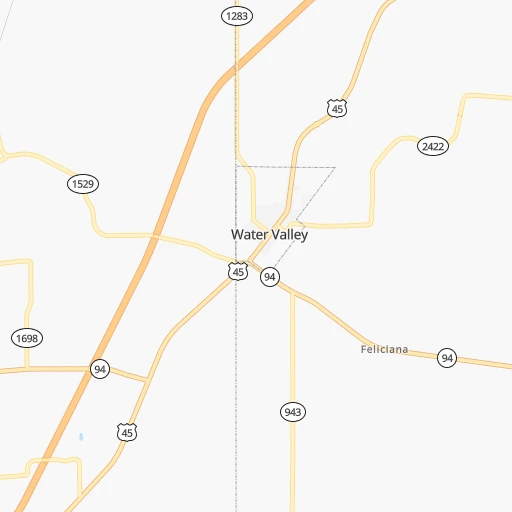
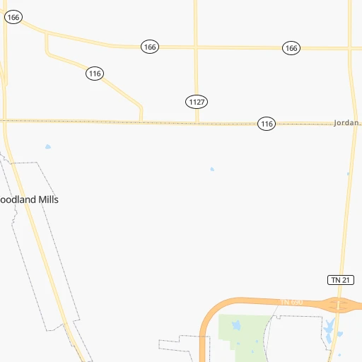
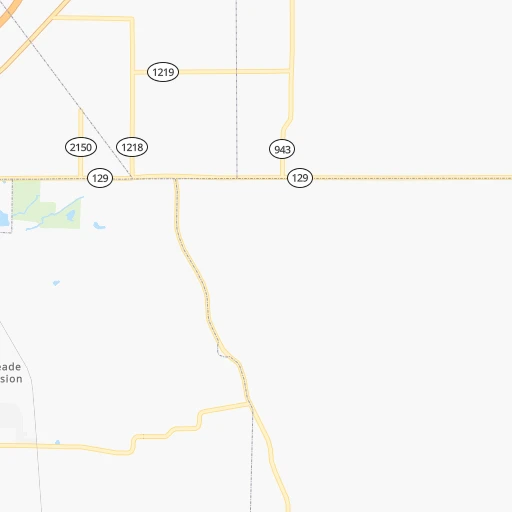
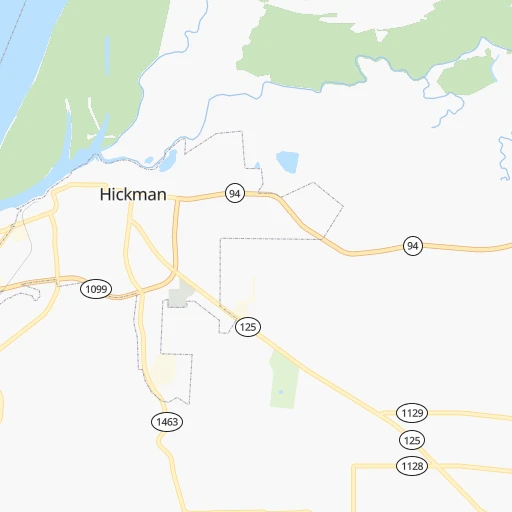
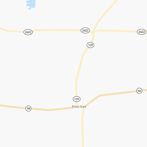
Roadmap (route) to go from Fulton Airport to Elizabethtown detailed above, you can also see the course layout on the map.
While doing trip Fulton (airport) - Elizabethtown by car, the calculated route ends at a distance , or more straight.
Distance and duration of the route between Fulton (airport) and Elizabethtown
Calculation of distance and route from Elizabethtown to Fulton (airport) :
300.1331.1 km3h20mn
Continue onto KY 1461 0h0mn 270 mTurn slight right onto KY 2149 0h2mn 1.8 kmTurn right onto Nolan Avenue 0h0mn 458 mTurn left onto US 51 1h47mn 79.3 kmKeep left onto I 69 and take I 24 East, I 69 North toward Nashville, Henderson 0h16mn 26.8 kmKeep right onto I 69 and take I 69 North toward Elizabethtown, Princeton 1h37mn 61.5 kmKeep right onto Western Kentucky Parkway and take I 169 South toward Hopkinsville 2h34mn 157.3 kmKeep right and take US 31W Bypass toward Elizabethtown 0h1mn 784 mTurn right onto Elizabethtown Bypass 0h0mn 145 mTurn left onto New Glendale Road 0h1mn 1.2 kmTurn left onto East Dixie Avenue 0h1mn 1.4 kmKeep right onto US 31W, KY 61 0h0mn 136 mTurn right onto North Mulberry Street 0h0mn 24 mArrive at destination 0h0mn 0 m
Travel from Fulton (airport) (Kentucky) to a selection of major cities.
Distances from Fulton Airport to biggest cities in Kentucky
- Valley Station,22,756 inhabitants.322 km
- Radcliff,22,387 inhabitants.301 km
- Ashland,21,108 inhabitants.595 km
Other major cities in country :
- Charlotte [NC], 827,097 inhabitants. 742 km
- Seattle [WA], 684,451 inhabitants. 2,995 km
- Denver [CO], 682,545 inhabitants. 1,450 km
- El Paso [TX], 681,124 inhabitants. 1,701 km
- Detroit [MI], 677,116 inhabitants. 819 km
- Boston [MA], 667,137 inhabitants. 1,662 km
- Memphis [TN], 655,770 inhabitants. 184 km
- New South Memphis [TN], 641,608 inhabitants. 191 km
- Portland [OR], 632,309 inhabitants. 2,981 km
- Oklahoma City [OK], 631,346 inhabitants. 784 km
- Las Vegas [NV], 623,747 inhabitants. 2,344 km
- Baltimore [MD], 621,849 inhabitants. 1,122 km
- Washington, D.C. [DC], 601,723 inhabitants. 1,078 km
- Milwaukee [WI], 600,155 inhabitants. 730 km
- South Boston [MA], 571,281 inhabitants. 1,662 km
- Albuquerque [NM], 559,121 inhabitants. 1,607 km
- Tucson [AZ], 531,641 inhabitants. 2,074 km
- Nashville [TN], 530,852 inhabitants. 195 km
- Fresno [CA], 520,052 inhabitants. 2,745 km
- Sacramento [CA], 490,712 inhabitants. 2,869 km
Route from Elizabethtown to major cities (United States).
- Distance Elizabethtown New York City1,075 km
- Distance Elizabethtown Los Angeles2,934 km
- Distance Elizabethtown Chicago487 km
- Distance Elizabethtown Brooklyn1,078 km
- Distance Elizabethtown Houston1,245 km
- Distance Elizabethtown Queens1,088 km
- Distance Elizabethtown Philadelphia960 km
- Distance Elizabethtown Phoenix2,412 km
- Distance Elizabethtown Manhattan1,080 km
- Distance Elizabethtown San Antonio1,488 km
- Distance Elizabethtown San Diego2,887 km
- Distance Elizabethtown The Bronx1,090 km
- Distance Elizabethtown Dallas1,134 km
- Distance Elizabethtown San Jose3,162 km
- Distance Elizabethtown Austin1,372 km
- Distance Elizabethtown Jacksonville906 km
- Distance Elizabethtown San Francisco3,198 km
- Distance Elizabethtown Columbus354 km
- Distance Elizabethtown Fort Worth1,179 km
- Distance Elizabethtown Indianapolis232 km
Nearest cities to Fulton (airport) :
- Memphis, 655,770 inhabitants. 184 km
- New South Memphis, 641,608 inhabitants. 191 km
- Nashville, 530,852 inhabitants. 195 km
- St. Louis, 315,685 inhabitants. 260 km
- Huntsville, 190,582 inhabitants. 290 km
- Clarksville, 149,176 inhabitants. 139 km
- Murfreesboro, 126,118 inhabitants. 239 km
- Evansville, 119,943 inhabitants. 201 km
- O'Fallon, 85,040 inhabitants. 299 km
- Bloomington, 84,067 inhabitants. 361 km
- Jonesboro, 73,907 inhabitants. 178 km
- Franklin, 72,639 inhabitants. 195 km
- Jackson, 66,975 inhabitants. 102 km
- Saint Charles, 65,794 inhabitants. 287 km
- Bowling Green, 63,616 inhabitants. 226 km
- Terre Haute, 60,825 inhabitants. 353 km
- Owensboro, 59,042 inhabitants. 212 km
- Bartlett, 58,579 inhabitants. 171 km
- Hendersonville, 56,018 inhabitants. 207 km
- Decatur, 55,437 inhabitants. 276 km
- Southaven, 52,589 inhabitants. 198 km
- Saint Peters, 52,575 inhabitants. 295 km
- Florissant, 52,268 inhabitants. 281 km
- Collierville, 48,863 inhabitants. 179 km
- Chesterfield, 47,864 inhabitants. 280 km
- Madison, 46,962 inhabitants. 282 km
- Columbus, 46,690 inhabitants. 397 km
- Smyrna, 46,607 inhabitants. 223 km
- Belleville, 42,034 inhabitants. 241 km
- Brentwood, 41,763 inhabitants. 199 km
- Florence, 40,026 inhabitants. 222 km
- Cape Girardeau, 39,462 inhabitants. 102 km
- Germantown, 39,240 inhabitants. 180 km
- Columbia, 36,800 inhabitants. 197 km
- Oakville, 36,143 inhabitants. 249 km
- Gadsden, 36,084 inhabitants. 385 km
- Spring Hill, 36,055 inhabitants. 198 km
- Olive Branch, 36,010 inhabitants. 193 km
- Wildwood, 35,899 inhabitants. 276 km
- East Florence, 35,733 inhabitants. 223 km
- Tupelo, 35,680 inhabitants. 253 km
- Wentzville, 35,603 inhabitants. 307 km
- University City, 35,058 inhabitants. 267 km
- La Vergne, 34,794 inhabitants. 217 km
- Gallatin, 34,334 inhabitants. 221 km
- Hopkinsville, 32,205 inhabitants. 132 km
- Mount Juliet, 31,540 inhabitants. 218 km
- Brentwood Estates, 31,279 inhabitants. 199 km
- Ballwin, 30,577 inhabitants. 272 km
- Lebanon, 30,262 inhabitants. 238 km
Location Fulton (airport) (Kentucky) :
| Country flag |  |
| Location | Fulton (airport) |
| State | Kentucky |
| County | Fulton County |
| Country | United States |
| Country code / ISO 2 | US |
| Latitude | 36.5255900 |
| Longitude | -88.9122200 |
| Altitude | 123 meters |
| Time zone | America/Chicago |
Location Elizabethtown (Kentucky) :
| Country flag | |
| Location | Elizabethtown |
| State | Kentucky |
| County | Hardin County |
| Country | United States |
| Country code / ISO 2 | US |
| Latitude | 37.6939500 |
| Longitude | -85.8591300 |
| Altitude | 221 meters |
| Time zone | America/New_York |


