
How to get from Barkley Regional (airport) (Kentucky) to Columbia (Tennessee)
Calculate route from Barkley Regional (airport) (Kentucky, United States) to Columbia (Tennessee, United States).
The flight distance (as the crow flies) between Barkley Regional (airport) and Columbia is 223.7 km.
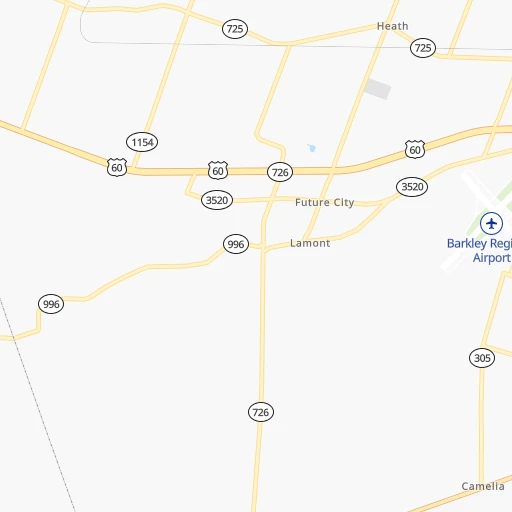
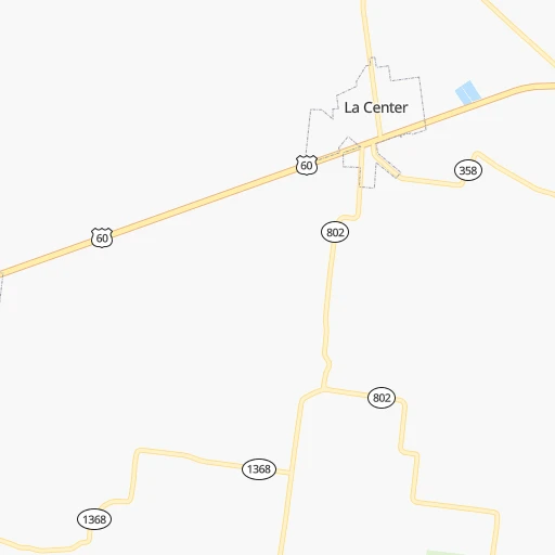
Roadmap (route) to go from Barkley Regional Airport to Columbia detailed above, you can also see the course layout on the map.
While doing trip Barkley Regional (airport) - Columbia by car, the calculated route ends at a distance , or more straight.
Distance and duration of the route between Barkley Regional (airport) and Columbia
Calculation of distance and route from Columbia to Barkley Regional (airport) :
223.7280.4 km4h32mn
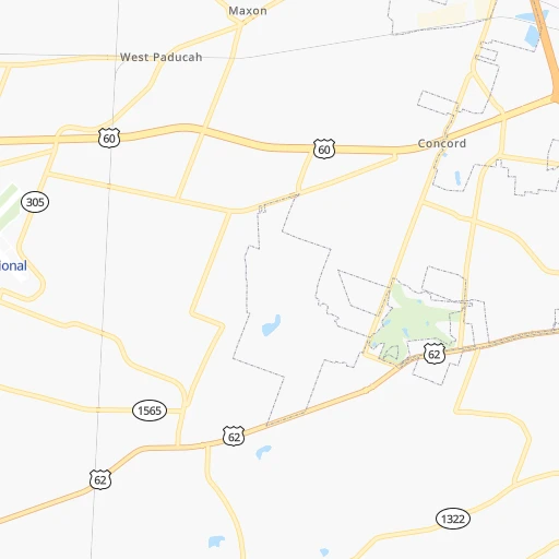
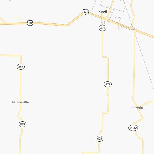
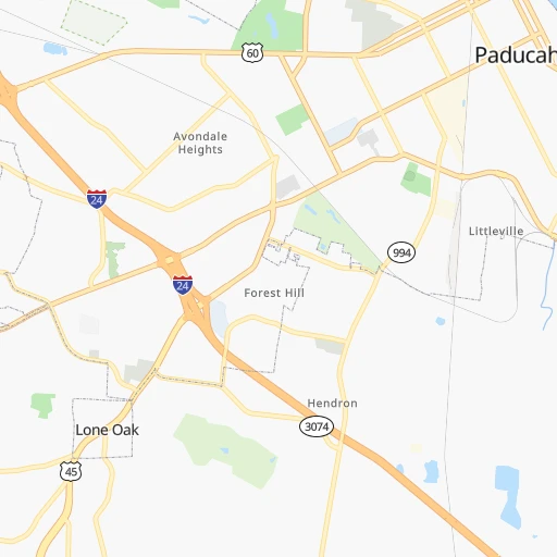
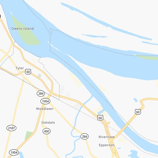
Continue 0h3mn 842 mTurn slight right onto Old Hinkleville Rd 0h1mn 325 mTurn left onto Fisher Road 0h0mn 490 mTurn right onto US 60 0h6mn 7.1 kmKeep right and drive toward Nashville 1h17mn 130.0 kmKeep right and take US 41 Alternate toward Hopkinsville, Fort Campbell 0h1mn 701 mKeep right 0h6mn 6.5 kmTurn right onto Fort Campbell Boulevard 0h0mn 119 mTurn right onto Fort Campbell Boulevard 0h0mn 251 mTurn slight right onto Fort Campbell Boulevard 0h1mn 1.5 kmTurn slight right onto Fort Campbell Boulevard 0h5mn 5.7 kmTurn slight right onto Fort Campbell Boulevard 0h4mn 3.9 kmContinue onto Providence Boulevard 0h3mn 2.7 kmTurn right onto US 41A, US 79 0h0mn 69 mTurn right onto North Riverside Drive 0h2mn 2.1 kmTurn right onto South Riverside Drive 0h2mn 1.5 kmKeep right onto Cumberland Drive 1h46mn 49.9 kmTurn sharp left 0h0mn 171 mKeep left 0h0mn 45 mTurn left onto Henslee Drive 0h1mn 624 mKeep right 0h0mn 90 mTurn slight right onto Mathis Drive 1h55mn 65.0 kmTurn right onto North Garden Street 0h1mn 713 mTurn left onto West 7th Street 0h0mn 24 mArrive at destination 0h0mn 0 m
Travel from Barkley Regional (airport) (Tennessee) to a selection of major cities.
Distances from Barkley Regional Airport to biggest cities in Kentucky
- Valley Station,22,756 inhabitants.282 km
- Radcliff,22,387 inhabitants.264 km
- Ashland,21,108 inhabitants.562 km
Other major cities in country :
- Charlotte [NC], 827,097 inhabitants. 741 km
- Seattle [WA], 684,451 inhabitants. 2,971 km
- Denver [CO], 682,545 inhabitants. 1,443 km
- El Paso [TX], 681,124 inhabitants. 1,727 km
- Detroit [MI], 677,116 inhabitants. 764 km
- Boston [MA], 667,137 inhabitants. 1,624 km
- Memphis [TN], 655,770 inhabitants. 242 km
- New South Memphis [TN], 641,608 inhabitants. 248 km
- Portland [OR], 632,309 inhabitants. 2,962 km
- Oklahoma City [OK], 631,346 inhabitants. 804 km
- Las Vegas [NV], 623,747 inhabitants. 2,350 km
- Baltimore [MD], 621,849 inhabitants. 1,092 km
- Washington, D.C. [DC], 601,723 inhabitants. 1,049 km
- Milwaukee [WI], 600,155 inhabitants. 670 km
- South Boston [MA], 571,281 inhabitants. 1,624 km
- Albuquerque [NM], 559,121 inhabitants. 1,621 km
- Tucson [AZ], 531,641 inhabitants. 2,094 km
- Nashville [TN], 530,852 inhabitants. 204 km
- Fresno [CA], 520,052 inhabitants. 2,747 km
- Sacramento [CA], 490,712 inhabitants. 2,867 km
Route from Columbia to major cities (United States).
- Distance Columbia New York City1,272 km
- Distance Columbia Los Angeles2,845 km
- Distance Columbia Chicago696 km
- Distance Columbia Brooklyn1,274 km
- Distance Columbia Houston1,016 km
- Distance Columbia Queens1,284 km
- Distance Columbia Philadelphia1,149 km
- Distance Columbia Phoenix2,303 km
- Distance Columbia Manhattan1,278 km
- Distance Columbia San Antonio1,276 km
- Distance Columbia San Diego2,783 km
- Distance Columbia The Bronx1,289 km
- Distance Columbia Dallas953 km
- Distance Columbia San Jose3,109 km
- Distance Columbia Austin1,163 km
- Distance Columbia Jacksonville773 km
- Distance Columbia San Francisco3,149 km
- Distance Columbia Columbus600 km
- Distance Columbia Fort Worth1,000 km
- Distance Columbia Indianapolis469 km
Nearest cities to Barkley Regional (airport) :
- Indianapolis, 829,718 inhabitants. 378 km
- Memphis, 655,770 inhabitants. 242 km
- New South Memphis, 641,608 inhabitants. 248 km
- Nashville, 530,852 inhabitants. 204 km
- St. Louis, 315,685 inhabitants. 215 km
- Huntsville, 190,582 inhabitants. 326 km
- Clarksville, 149,176 inhabitants. 139 km
- Murfreesboro, 126,118 inhabitants. 253 km
- Evansville, 119,943 inhabitants. 148 km
- Springfield, 116,565 inhabitants. 314 km
- Carmel, 88,713 inhabitants. 399 km
- O'Fallon, 85,040 inhabitants. 258 km
- Bloomington, 84,067 inhabitants. 306 km
- Fishers, 76,794 inhabitants. 402 km
- Jonesboro, 73,907 inhabitants. 220 km
- Decatur, 73,254 inhabitants. 310 km
- Franklin, 72,639 inhabitants. 212 km
- Jackson, 66,975 inhabitants. 161 km
- Saint Charles, 65,794 inhabitants. 243 km
- Bowling Green, 63,616 inhabitants. 207 km
- Terre Haute, 60,825 inhabitants. 293 km
- Noblesville, 59,093 inhabitants. 410 km
- Owensboro, 59,042 inhabitants. 167 km
- Bartlett, 58,579 inhabitants. 229 km
- Hendersonville, 56,018 inhabitants. 210 km
- Greenwood, 55,586 inhabitants. 367 km
- Decatur, 55,437 inhabitants. 317 km
- Southaven, 52,589 inhabitants. 256 km
- Saint Peters, 52,575 inhabitants. 253 km
- Florissant, 52,268 inhabitants. 236 km
- Collierville, 48,863 inhabitants. 239 km
- Chesterfield, 47,864 inhabitants. 239 km
- Lawrence, 47,809 inhabitants. 391 km
- Madison, 46,962 inhabitants. 320 km
- Columbus, 46,690 inhabitants. 345 km
- Smyrna, 46,607 inhabitants. 235 km
- Belleville, 42,034 inhabitants. 194 km
- Brentwood, 41,763 inhabitants. 212 km
- Quincy, 40,780 inhabitants. 394 km
- Florence, 40,026 inhabitants. 270 km
- Cape Girardeau, 39,462 inhabitants. 71 km
- Germantown, 39,240 inhabitants. 239 km
- Columbia, 36,800 inhabitants. 224 km
- Westfield, 36,738 inhabitants. 404 km
- New Albany, 36,732 inhabitants. 293 km
- Oakville, 36,143 inhabitants. 207 km
- Spring Hill, 36,055 inhabitants. 220 km
- Olive Branch, 36,010 inhabitants. 252 km
- Wildwood, 35,899 inhabitants. 237 km
- East Florence, 35,733 inhabitants. 270 km
Location Barkley Regional (airport) (Kentucky) :
| Country flag |  |
| Location | Barkley Regional (airport) |
| State | Kentucky |
| County | McCracken County |
| Country | United States |
| Country code / ISO 2 | US |
| Latitude | 37.0608300 |
| Longitude | -88.7737500 |
| Altitude | 122 meters |
| Time zone | America/Chicago |
Location Columbia (Tennessee) :
| Country flag | |
| Location | Columbia |
| State | Tennessee |
| County | Maury County |
| Country | United States |
| Country code / ISO 2 | US |
| Latitude | 35.6150700 |
| Longitude | -87.0352800 |
| Altitude | 196 meters |
| Time zone | America/Chicago |