
How to get from Wilson (airport) (Kansas) to Guthrie (Oklahoma)
Calculate route from Wilson (airport) (Kansas, United States) to Guthrie (Oklahoma, United States).
The flight distance (as the crow flies) between Wilson (airport) and Guthrie is 341.6 km.
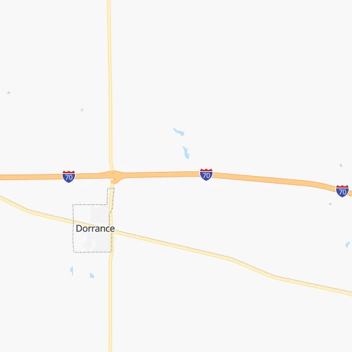
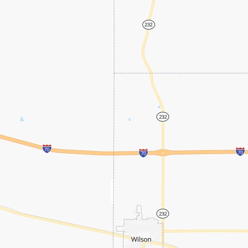
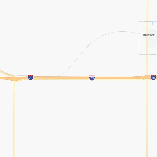
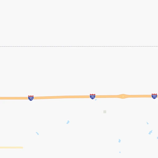
Roadmap (route) to go from Wilson Airport to Guthrie detailed above, you can also see the course layout on the map.
While doing trip Wilson (airport) - Guthrie by car, the calculated route ends at a distance , or more straight.
Distance and duration of the route between Wilson (airport) and Guthrie
Calculation of distance and route from Guthrie to Wilson (airport) :
341.6400.7 km5h35mn
Continue onto 1st Road 0h2mn 973 mTurn left onto 27th Street 0h30mn 24.8 kmTurn right onto Gay Street 0h2mn 804 mTurn left onto West 8th Street 0h0mn 45 mKeep right onto West 1st Street 0h0mn 215 mTurn right onto Saint Louis Avenue 0h0mn 55 mTurn left onto West North Main Street 0h0mn 111 mTurn right onto North Colorado Avenue 0h0mn 54 mTurn left onto North Main Street 0h0mn 347 mTurn right onto North Douglas Avenue 1h38mn 43.7 kmContinue onto South Grand Avenue 1h34mn 50.7 kmKeep right toward KS 96 0h0mn 318 mTurn right onto KS 14, KS 96 and drive toward Wichita 1h38mn 57.6 kmKeep right and drive toward Ridge Road 0h0mn 348 mTurn right onto North Ridge Road 0h5mn 5.6 kmTurn left onto West 13th Street North 0h1mn 943 mContinue onto West 13th Street North 0h10mn 15.2 kmKeep right and take I 135 South, I 35 toward Kansas Turnpike 0h2mn 1.7 kmKeep right and take I 35 South toward Oklahoma City 0h23mn 40.9 kmKeep left and drive toward Toll Plaza 0h0mn 252 mKeep left 1h25mn 152.7 kmKeep right and take OK 33 toward Guthrie, Perkins, Cushing 0h0mn 425 mTurn right onto East Noble Avenue 0h3mn 2.8 kmTurn left onto North Division Street 0h0mn 132 mArrive at destination 0h0mn 0 m
Travel from Wilson (airport) (Oklahoma) to a selection of major cities.
Distances from Wilson Airport to biggest cities in Kansas
- Gardner,20,868 inhabitants.309 km
- Liberal,20,746 inhabitants.292 km
- Pittsburg,20,409 inhabitants.367 km
Other major cities in country :
- Charlotte [NC], 827,097 inhabitants. 1,616 km
- Seattle [WA], 684,451 inhabitants. 2,155 km
- Denver [CO], 682,545 inhabitants. 569 km
- El Paso [TX], 681,124 inhabitants. 1,071 km
- Detroit [MI], 677,116 inhabitants. 1,360 km
- Boston [MA], 667,137 inhabitants. 2,341 km
- Memphis [TN], 655,770 inhabitants. 854 km
- New South Memphis [TN], 641,608 inhabitants. 858 km
- Portland [OR], 632,309 inhabitants. 2,120 km
- Oklahoma City [OK], 631,346 inhabitants. 385 km
- Las Vegas [NV], 623,747 inhabitants. 1,498 km
- Baltimore [MD], 621,849 inhabitants. 1,887 km
- Washington, D.C. [DC], 601,723 inhabitants. 1,855 km
- Milwaukee [WI], 600,155 inhabitants. 1,004 km
- South Boston [MA], 571,281 inhabitants. 2,341 km
- Albuquerque [NM], 559,121 inhabitants. 837 km
- Tucson [AZ], 531,641 inhabitants. 1,344 km
- Nashville [TN], 530,852 inhabitants. 1,074 km
- Fresno [CA], 520,052 inhabitants. 1,883 km
- Sacramento [CA], 490,712 inhabitants. 1,994 km
Route from Guthrie to major cities (United States).
- Distance Guthrie New York City2,109 km
- Distance Guthrie Los Angeles1,906 km
- Distance Guthrie Chicago1,076 km
- Distance Guthrie Brooklyn2,112 km
- Distance Guthrie Houston708 km
- Distance Guthrie Queens2,122 km
- Distance Guthrie Philadelphia2,001 km
- Distance Guthrie Phoenix1,367 km
- Distance Guthrie Manhattan2,113 km
- Distance Guthrie San Antonio725 km
- Distance Guthrie San Diego1,846 km
- Distance Guthrie The Bronx2,122 km
- Distance Guthrie Dallas349 km
- Distance Guthrie San Jose2,186 km
- Distance Guthrie Austin625 km
- Distance Guthrie Jacksonville1,592 km
- Distance Guthrie San Francisco2,230 km
- Distance Guthrie Columbus1,344 km
- Distance Guthrie Fort Worth351 km
- Distance Guthrie Indianapolis1,080 km
Nearest cities to Wilson (airport) :
- Omaha, 443,885 inhabitants. 346 km
- Tulsa, 403,505 inhabitants. 371 km
- Wichita, 389,965 inhabitants. 162 km
- Lincoln, 277,348 inhabitants. 268 km
- Topeka, 127,265 inhabitants. 244 km
- Broken Arrow, 106,563 inhabitants. 391 km
- Council Bluffs, 62,597 inhabitants. 351 km
- Manhattan, 56,308 inhabitants. 170 km
- Bellevue, 55,510 inhabitants. 339 km
- Enid, 51,776 inhabitants. 277 km
- Grand Island, 51,440 inhabitants. 233 km
- Stillwater, 48,967 inhabitants. 328 km
- Salina, 47,813 inhabitants. 76 km
- Hutchinson, 41,569 inhabitants. 99 km
- Bartlesville, 36,595 inhabitants. 320 km
- Owasso, 34,542 inhabitants. 368 km
- Kearney, 33,021 inhabitants. 214 km
- Dodge City, 27,912 inhabitants. 180 km
- Garden City, 27,005 inhabitants. 229 km
- Fremont, 26,474 inhabitants. 335 km
- Hastings, 24,924 inhabitants. 195 km
- Ponca City, 24,758 inhabitants. 267 km
- Bixby, 24,657 inhabitants. 396 km
- Emporia, 24,649 inhabitants. 206 km
- Junction City, 24,621 inhabitants. 145 km
- North Platte, 24,194 inhabitants. 320 km
- Derby, 23,509 inhabitants. 179 km
- Columbus, 22,797 inhabitants. 304 km
- Hays, 21,092 inhabitants. 73 km
- Liberal, 20,746 inhabitants. 292 km
- Jenks, 20,740 inhabitants. 384 km
- Sapulpa, 20,579 inhabitants. 379 km
- Sand Springs, 19,783 inhabitants. 366 km
- Papillion, 19,510 inhabitants. 332 km
- Newton, 19,216 inhabitants. 133 km
- Claremore, 18,997 inhabitants. 378 km
- La Vista, 16,921 inhabitants. 335 km
- Great Bend, 15,717 inhabitants. 58 km
- Glenpool, 13,225 inhabitants. 388 km
- McPherson, 13,144 inhabitants. 88 km
- Woodward, 12,993 inhabitants. 279 km
- El Dorado, 12,931 inhabitants. 181 km
- Andover, 12,745 inhabitants. 172 km
- Beatrice, 12,388 inhabitants. 218 km
- Winfield, 12,204 inhabitants. 220 km
- Arkansas City, 12,136 inhabitants. 235 km
- Guymon, 11,921 inhabitants. 356 km
- Guthrie, 11,270 inhabitants. 342 km
- Haysville, 11,212 inhabitants. 173 km
- Chalco, 10,994 inhabitants. 329 km
Location Wilson (airport) (Kansas) :
| Country flag |  |
| Location | Wilson (airport) |
| State | Kansas |
| County | Russell County |
| Country | United States |
| Country code / ISO 2 | US |
| Latitude | 38.8351100 |
| Longitude | -98.4856200 |
| Altitude | 518 meters |
| Time zone | America/Chicago |
Location Guthrie (Oklahoma) :
| Country flag | |
| Location | Guthrie |
| State | Oklahoma |
| County | Logan County |
| Country | United States |
| Country code / ISO 2 | US |
| Latitude | 35.8789400 |
| Longitude | -97.4253200 |
| Altitude | 299 meters |
| Time zone | America/Chicago |

