
How to get from Salina (Kansas) to Great Bend (Kansas)
Calculate route from Salina (Kansas, United States) to Great Bend (Kansas, United States).
The flight distance (as the crow flies) between Salina and Great Bend is 113.3 km.
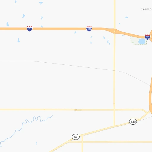
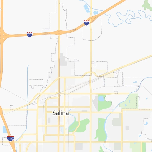
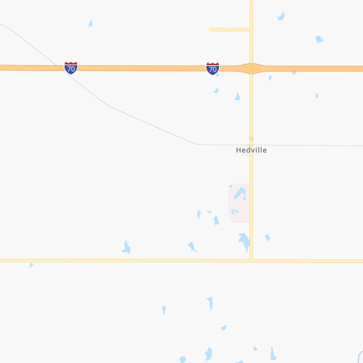
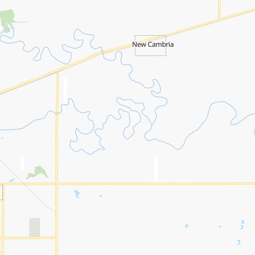
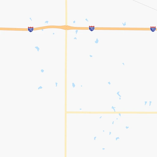
Roadmap (route) to go from Salina to Great Bend detailed above, you can also see the course layout on the map.
While doing trip Salina - Great Bend by car, the calculated route ends at a distance , or more straight.
Distance and duration of the route between Salina and Great Bend
Calculation of distance and route from Great Bend to Salina :
113.3122.0 km2h35mn
Continue onto South 8th Street 0h0mn 28 mTurn left onto West Iron Avenue 0h1mn 730 mTurn right onto North College Avenue 0h0mn 116 mTurn left onto West State Street 0h2mn 1.5 kmTurn left onto West State Street 1h48mn 53.3 kmTurn left onto KS 156 1h39mn 59.9 kmTurn right onto US 56, KS 96, KS 156 0h5mn 6.1 kmTurn right onto Main Street 0h0mn 339 mTurn right onto Lakin Avenue 0h0mn 28 mArrive at destination 0h0mn 0 m
Travel from Salina (Kansas) to a selection of major cities.
Distances from Salina to biggest cities in Kansas
Other major cities in country :
- Charlotte [NC], 827,097 inhabitants. 1,541 km
- Seattle [WA], 684,451 inhabitants. 2,217 km
- Denver [CO], 682,545 inhabitants. 643 km
- El Paso [TX], 681,124 inhabitants. 1,127 km
- Detroit [MI], 677,116 inhabitants. 1,289 km
- Boston [MA], 667,137 inhabitants. 2,269 km
- Memphis [TN], 655,770 inhabitants. 788 km
- New South Memphis [TN], 641,608 inhabitants. 791 km
- Portland [OR], 632,309 inhabitants. 2,186 km
- Oklahoma City [OK], 631,346 inhabitants. 376 km
- Las Vegas [NV], 623,747 inhabitants. 1,573 km
- Baltimore [MD], 621,849 inhabitants. 1,812 km
- Washington, D.C. [DC], 601,723 inhabitants. 1,780 km
- Milwaukee [WI], 600,155 inhabitants. 940 km
- South Boston [MA], 571,281 inhabitants. 2,269 km
- Albuquerque [NM], 559,121 inhabitants. 906 km
- Tucson [AZ], 531,641 inhabitants. 1,411 km
- Nashville [TN], 530,852 inhabitants. 1,001 km
- Fresno [CA], 520,052 inhabitants. 1,958 km
- Sacramento [CA], 490,712 inhabitants. 2,069 km
Route from Great Bend to major cities (United States).
- Distance Great Bend New York City2,134 km
- Distance Great Bend Los Angeles1,810 km
- Distance Great Bend Chicago1,022 km
- Distance Great Bend Brooklyn2,139 km
- Distance Great Bend Houston1,007 km
- Distance Great Bend Queens2,149 km
- Distance Great Bend Philadelphia2,039 km
- Distance Great Bend Phoenix1,317 km
- Distance Great Bend Manhattan2,138 km
- Distance Great Bend San Antonio996 km
- Distance Great Bend San Diego1,777 km
- Distance Great Bend The Bronx2,146 km
- Distance Great Bend Dallas646 km
- Distance Great Bend San Jose2,031 km
- Distance Great Bend Austin906 km
- Distance Great Bend Jacksonville1,805 km
- Distance Great Bend San Francisco2,068 km
- Distance Great Bend Columbus1,371 km
- Distance Great Bend Fort Worth641 km
- Distance Great Bend Indianapolis1,100 km
Nearest cities to Salina :
- Omaha, 443,885 inhabitants. 304 km
- Tulsa, 403,505 inhabitants. 331 km
- Wichita, 389,965 inhabitants. 130 km
- Lincoln, 277,348 inhabitants. 233 km
- Overland Park, 186,515 inhabitants. 255 km
- Kansas City, 151,306 inhabitants. 260 km
- Olathe, 134,305 inhabitants. 242 km
- Topeka, 127,265 inhabitants. 169 km
- Broken Arrow, 106,563 inhabitants. 350 km
- Lawrence, 93,917 inhabitants. 206 km
- Saint Joseph, 76,780 inhabitants. 260 km
- Shawnee, 65,046 inhabitants. 251 km
- Council Bluffs, 62,597 inhabitants. 308 km
- Manhattan, 56,308 inhabitants. 98 km
- Bellevue, 55,510 inhabitants. 295 km
- Lenexa, 52,490 inhabitants. 250 km
- Enid, 51,776 inhabitants. 273 km
- Grand Island, 51,440 inhabitants. 240 km
- Stillwater, 48,967 inhabitants. 307 km
- Salina, 47,813 inhabitants. 0 km
- Hutchinson, 41,569 inhabitants. 91 km
- Bartlesville, 36,595 inhabitants. 274 km
- Leavenworth, 35,980 inhabitants. 238 km
- Leawood, 34,579 inhabitants. 260 km
- Owasso, 34,542 inhabitants. 325 km
- Kearney, 33,021 inhabitants. 242 km
- Dodge City, 27,912 inhabitants. 243 km
- Fremont, 26,474 inhabitants. 304 km
- Hastings, 24,924 inhabitants. 205 km
- Ponca City, 24,758 inhabitants. 242 km
- Bixby, 24,657 inhabitants. 357 km
- Emporia, 24,649 inhabitants. 133 km
- Junction City, 24,621 inhabitants. 71 km
- Derby, 23,509 inhabitants. 147 km
- Columbus, 22,797 inhabitants. 289 km
- Prairie Village, 21,877 inhabitants. 258 km
- Hays, 21,092 inhabitants. 149 km
- Gardner, 20,868 inhabitants. 233 km
- Jenks, 20,740 inhabitants. 346 km
- Sapulpa, 20,579 inhabitants. 343 km
- Pittsburg, 20,409 inhabitants. 300 km
- Sand Springs, 19,783 inhabitants. 329 km
- Papillion, 19,510 inhabitants. 290 km
- Newton, 19,216 inhabitants. 91 km
- Claremore, 18,997 inhabitants. 332 km
- La Vista, 16,921 inhabitants. 294 km
- Tahlequah, 16,598 inhabitants. 401 km
- Great Bend, 15,717 inhabitants. 113 km
- Miami, 13,611 inhabitants. 325 km
- Glenpool, 13,225 inhabitants. 351 km
Location Salina (Kansas) :
| Country flag |  |
| Location | Salina |
| State | Kansas |
| County | Saline County |
| Country | United States |
| Country code / ISO 2 | US |
| Latitude | 38.8402800 |
| Longitude | -97.6114200 |
| Altitude | 373 meters |
| Time zone | America/Chicago |
Location Great Bend (Kansas) :
| Country flag | |
| Location | Great Bend |
| State | Kansas |
| County | Barton County |
| Country | United States |
| Country code / ISO 2 | US |
| Latitude | 38.3644600 |
| Longitude | -98.7648100 |
| Altitude | 564 meters |
| Time zone | America/Chicago |

