


How to get from Prichard Airstrip (Kansas) to Baltimore (Maryland)
Calculate route from Prichard Airstrip (Kansas, United States) to Baltimore (Maryland, United States).
The flight distance (as the crow flies) between Prichard Airstrip and Baltimore is 1,764.8 km.
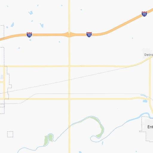
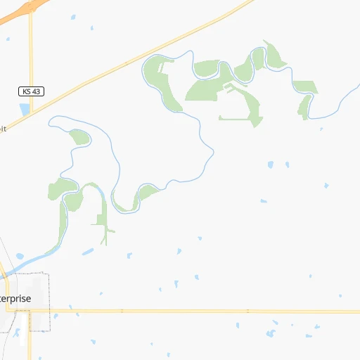
Roadmap (route) to go from Prichard Airstrip to Baltimore detailed above, you can also see the course layout on the map.
While doing trip Prichard Airstrip - Baltimore by car, the calculated route ends at a distance , or more straight.
Distance and duration of the route between Prichard Airstrip and Baltimore
Calculation of distance and route from Baltimore to Prichard Airstrip :
1,764.81,921.5 km20h6mn
Continue onto South Lincoln Street 0h0mn 237 mTurn left onto East 5th Street 0h0mn 476 mTurn right onto South Factory Street 0h4mn 3.8 kmTurn right onto Old Highway 40 0h1mn 927 mTurn left onto Mink Road 0h2mn 2.2 kmTurn right onto 2500 Avenue 0h0mn 90 mTurn left 1h7mn 120.5 kmKeep right 0h0mn 411 mTurn left onto Southwest Wanamaker Road 0h0mn 121 mTurn left onto Southwest 10th Avenue 0h8mn 7.8 kmTurn right 0h3mn 5.1 kmKeep left onto Truman/Eisenhower Presidential Highway and drive toward I-70 East, Kansas City 1h51mn 89.3 kmKeep left onto Jay B. Dillingham Freeway toward I 670 East, I 70 Alternate 4h49mn 374.7 kmKeep right and take I 270 toward Chicago, Memphis 0h0mn 266 mKeep left and take I 270 North toward Chicago 0h1mn 1.2 kmKeep left and take I 270 North toward Chicago 0h21mn 30.3 kmKeep right and take IL 203 toward Granite City 0h0mn 317 mKeep left and take IL 203 toward Granite City 2h30mn 150.7 kmKeep right onto I 70 and take I 70 East toward Indianapolis 2h19mn 225.0 kmKeep left onto I 70 1h14mn 121.1 kmKeep left onto I 70 1h44mn 72.5 kmKeep left onto I 70 1h47mn 79.0 kmKeep right onto West Freeway 2h60mn 198.6 kmKeep right onto I 470 1h36mn 55.9 kmKeep right and take US 40 toward Chestnut Street 0h0mn 261 mKeep right toward US 40 0h3mn 2.4 kmKeep right 1h41mn 42.7 kmTurn left 0h8mn 12.0 kmKeep right and take US 40 toward Northgate Highway 0h0mn 257 mTurn right onto Old Pittsburgh Road 0h0mn 106 mTurn left onto Northgate Highway 0h2mn 1.3 kmTurn right onto Pittsburgh Road 0h2mn 2.7 kmTurn left onto West Fayette Street 0h1mn 1.3 kmTurn slight right onto East Main Street 0h3mn 3.1 kmKeep left onto US 40 Business 0h2mn 2.3 kmKeep left onto US 40 1h37mn 44.7 kmKeep right 0h0mn 80 mTurn slight right onto Garrett Highway 0h0mn 560 mKeep right onto US 40 and take I 68 East, US 40 East, US 219 North toward Cumberland 2h23mn 238.2 kmKeep left onto I 70 and drive toward Baltimore 0h12mn 18.3 kmKeep right 0h1mn 772 mMake a U-turn onto Security Boulevard 0h1mn 519 mContinue onto Cooks Lane 0h8mn 5.8 kmKeep left onto US 40 toward US 40 East 0h2mn 2.2 kmTurn right onto North Greene Street 0h0mn 107 mTurn left onto West Saratoga Street 0h2mn 1.1 kmTurn right onto Guilford Avenue 0h0mn 223 mTurn right onto East Fayette Street 0h0mn 99 mArrive at destination 0h0mn 0 m
Travel from Prichard Airstrip (Maryland) to a selection of major cities.
Distances from Prichard Airstrip to biggest cities in Kansas
- Gardner,20,868 inhabitants.190 km
- Liberal,20,746 inhabitants.393 km
- Pittsburg,20,409 inhabitants.268 km
Other major cities in country :
- Charlotte [NC], 827,097 inhabitants. 1,500 km
- Seattle [WA], 684,451 inhabitants. 2,249 km
- Denver [CO], 682,545 inhabitants. 684 km
- El Paso [TX], 681,124 inhabitants. 1,163 km
- Detroit [MI], 677,116 inhabitants. 1,247 km
- Boston [MA], 667,137 inhabitants. 2,226 km
- Memphis [TN], 655,770 inhabitants. 754 km
- New South Memphis [TN], 641,608 inhabitants. 757 km
- Portland [OR], 632,309 inhabitants. 2,222 km
- Oklahoma City [OK], 631,346 inhabitants. 384 km
- Las Vegas [NV], 623,747 inhabitants. 1,617 km
- Baltimore [MD], 621,849 inhabitants. 1,768 km
- Washington, D.C. [DC], 601,723 inhabitants. 1,736 km
- Milwaukee [WI], 600,155 inhabitants. 900 km
- South Boston [MA], 571,281 inhabitants. 2,226 km
- Albuquerque [NM], 559,121 inhabitants. 948 km
- Tucson [AZ], 531,641 inhabitants. 1,453 km
- Nashville [TN], 530,852 inhabitants. 961 km
- Fresno [CA], 520,052 inhabitants. 2,002 km
- Sacramento [CA], 490,712 inhabitants. 2,111 km
Route from Baltimore to major cities (United States).
- Distance Baltimore New York City273 km
- Distance Baltimore Los Angeles3,729 km
- Distance Baltimore Chicago975 km
- Distance Baltimore Brooklyn273 km
- Distance Baltimore Houston2,014 km
- Distance Baltimore Queens283 km
- Distance Baltimore Philadelphia144 km
- Distance Baltimore Phoenix3,223 km
- Distance Baltimore Manhattan280 km
- Distance Baltimore San Antonio2,283 km
- Distance Baltimore San Diego3,693 km
- Distance Baltimore The Bronx291 km
- Distance Baltimore Dallas1,951 km
- Distance Baltimore San Jose3,920 km
- Distance Baltimore Austin2,170 km
- Distance Baltimore Jacksonville1,098 km
- Distance Baltimore San Francisco3,949 km
- Distance Baltimore Columbus553 km
- Distance Baltimore Fort Worth1,997 km
- Distance Baltimore Indianapolis821 km
Nearest cities to Prichard Airstrip :
- Kansas City, 475,378 inhabitants. 220 km
- Omaha, 443,885 inhabitants. 281 km
- Tulsa, 403,505 inhabitants. 321 km
- Wichita, 389,965 inhabitants. 136 km
- Lincoln, 277,348 inhabitants. 215 km
- Overland Park, 186,515 inhabitants. 212 km
- Kansas City, 151,306 inhabitants. 216 km
- Olathe, 134,305 inhabitants. 199 km
- Topeka, 127,265 inhabitants. 125 km
- Independence, 117,255 inhabitants. 234 km
- East Independence, 110,675 inhabitants. 240 km
- Broken Arrow, 106,563 inhabitants. 338 km
- Lee's Summit, 95,094 inhabitants. 237 km
- Lawrence, 93,917 inhabitants. 163 km
- Fayetteville, 82,830 inhabitants. 410 km
- Springdale, 77,859 inhabitants. 401 km
- Saint Joseph, 76,780 inhabitants. 218 km
- Shawnee, 65,046 inhabitants. 208 km
- Rogers, 63,159 inhabitants. 389 km
- Council Bluffs, 62,597 inhabitants. 284 km
- Manhattan, 56,308 inhabitants. 57 km
- Bellevue, 55,510 inhabitants. 270 km
- Blue Springs, 54,148 inhabitants. 245 km
- Lenexa, 52,490 inhabitants. 206 km
- Joplin, 51,818 inhabitants. 305 km
- Enid, 51,776 inhabitants. 287 km
- Grand Island, 51,440 inhabitants. 249 km
- Stillwater, 48,967 inhabitants. 310 km
- Salina, 47,813 inhabitants. 44 km
- Bentonville, 44,499 inhabitants. 380 km
- Hutchinson, 41,569 inhabitants. 117 km
- Bartlesville, 36,595 inhabitants. 259 km
- Leavenworth, 35,980 inhabitants. 195 km
- Leawood, 34,579 inhabitants. 216 km
- Owasso, 34,542 inhabitants. 313 km
- Kearney, 33,021 inhabitants. 262 km
- Liberty, 30,450 inhabitants. 236 km
- Raytown, 29,401 inhabitants. 230 km
- Bella Vista, 27,999 inhabitants. 368 km
- Dodge City, 27,912 inhabitants. 284 km
- Gladstone, 26,861 inhabitants. 224 km
- Fremont, 26,474 inhabitants. 287 km
- Grandview, 25,256 inhabitants. 224 km
- Hastings, 24,924 inhabitants. 217 km
- Ponca City, 24,758 inhabitants. 244 km
- Bixby, 24,657 inhabitants. 347 km
- Emporia, 24,649 inhabitants. 98 km
- Junction City, 24,621 inhabitants. 28 km
- Derby, 23,509 inhabitants. 151 km
- Belton, 23,168 inhabitants. 224 km
Location Prichard Airstrip (Kansas) :
| Country flag |  |
| Location | Prichard Airstrip |
| State | Kansas |
| County | Dickinson County |
| Country | United States |
| Country code / ISO 2 | US |
| Latitude | 38.8982900 |
| Longitude | -97.1135300 |
| Altitude | 351 meters |
| Time zone | America/Chicago |
Location Baltimore (Maryland) :
| Country flag | |
| Location | Baltimore |
| State | Maryland |
| County | City of Baltimore |
| Country | United States |
| Country code / ISO 2 | US |
| Latitude | 39.2903800 |
| Longitude | -76.6121900 |
| Altitude | 10 meters |
| Time zone | America/New_York |


