


How to get from Norton Municipal (airport) (Kansas) to McCook (Nebraska)
Calculate route from Norton Municipal (airport) (Kansas, United States) to McCook (Nebraska, United States).
The flight distance (as the crow flies) between Norton Municipal (airport) and McCook is 73.9 km.
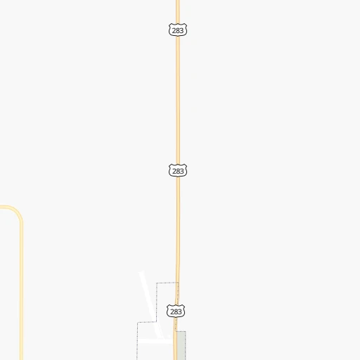
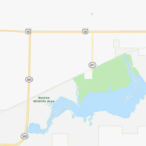
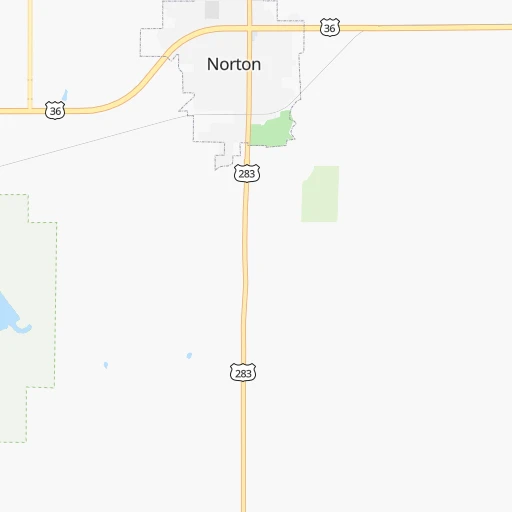
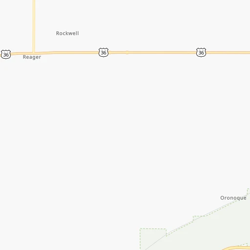
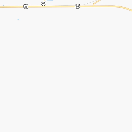
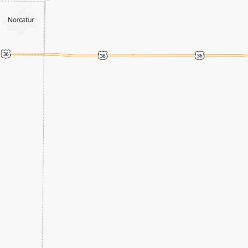
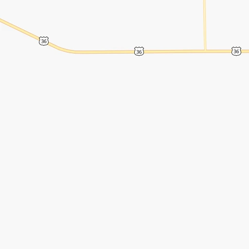
Roadmap (route) to go from Norton Municipal Airport to McCook detailed above, you can also see the course layout on the map.
While doing trip Norton Municipal (airport) - McCook by car, the calculated route ends at a distance , or more straight.
Distance and duration of the route between Norton Municipal (airport) and McCook
Calculation of distance and route from McCook to Norton Municipal (airport) :
73.9100.8 km1h12mn
Continue 0h0mn 79 mTurn left 0h0mn 22 mTurn right onto State Avenue 0h1mn 875 mTurn right onto West Holme Street 1h37mn 55.6 kmTurn right onto US 83 1h32mn 43.2 kmTurn left onto East B Street 0h1mn 579 mTurn right onto East 1st Street 0h0mn 339 mTurn left onto East E Street 0h0mn 119 mTurn right onto Norris Avenue 0h0mn 32 mArrive at destination 0h0mn 0 m
Travel from Norton Municipal (airport) (Nebraska) to a selection of major cities.
Distances from Norton Municipal Airport to biggest cities in Kansas
- Gardner,20,868 inhabitants.443 km
- Liberal,20,746 inhabitants.325 km
- Pittsburg,20,409 inhabitants.526 km
Other major cities in country :
- Charlotte [NC], 827,097 inhabitants. 1,754 km
- Seattle [WA], 684,451 inhabitants. 1,992 km
- Denver [CO], 682,545 inhabitants. 436 km
- El Paso [TX], 681,124 inhabitants. 1,079 km
- Detroit [MI], 677,116 inhabitants. 1,438 km
- Boston [MA], 667,137 inhabitants. 2,423 km
- Memphis [TN], 655,770 inhabitants. 1,014 km
- New South Memphis [TN], 641,608 inhabitants. 1,017 km
- Portland [OR], 632,309 inhabitants. 1,961 km
- Oklahoma City [OK], 631,346 inhabitants. 530 km
- Las Vegas [NV], 623,747 inhabitants. 1,396 km
- Baltimore [MD], 621,849 inhabitants. 1,993 km
- Washington, D.C. [DC], 601,723 inhabitants. 1,964 km
- Milwaukee [WI], 600,155 inhabitants. 1,060 km
- South Boston [MA], 571,281 inhabitants. 2,424 km
- Albuquerque [NM], 559,121 inhabitants. 798 km
- Tucson [AZ], 531,641 inhabitants. 1,305 km
- Nashville [TN], 530,852 inhabitants. 1,219 km
- Fresno [CA], 520,052 inhabitants. 1,767 km
- Sacramento [CA], 490,712 inhabitants. 1,864 km
Route from McCook to major cities (United States).
- Distance McCook New York City2,247 km
- Distance McCook Los Angeles1,703 km
- Distance McCook Chicago1,104 km
- Distance McCook Brooklyn2,252 km
- Distance McCook Houston1,257 km
- Distance McCook Queens2,261 km
- Distance McCook Philadelphia2,162 km
- Distance McCook Phoenix1,265 km
- Distance McCook Manhattan2,249 km
- Distance McCook San Antonio1,215 km
- Distance McCook San Diego1,695 km
- Distance McCook The Bronx2,257 km
- Distance McCook Dallas894 km
- Distance McCook San Jose1,869 km
- Distance McCook Austin1,136 km
- Distance McCook Jacksonville2,038 km
- Distance McCook San Francisco1,900 km
- Distance McCook Columbus1,499 km
- Distance McCook Fort Worth883 km
- Distance McCook Indianapolis1,234 km
Nearest cities to Norton Municipal (airport) :
- Wichita, 389,965 inhabitants. 327 km
- Grand Island, 51,440 inhabitants. 178 km
- Salina, 47,813 inhabitants. 226 km
- Hutchinson, 41,569 inhabitants. 261 km
- Kearney, 33,021 inhabitants. 117 km
- Dodge City, 27,912 inhabitants. 233 km
- Garden City, 27,005 inhabitants. 225 km
- Hastings, 24,924 inhabitants. 152 km
- Norfolk, 24,366 inhabitants. 320 km
- North Platte, 24,194 inhabitants. 160 km
- Derby, 23,509 inhabitants. 343 km
- Columbus, 22,797 inhabitants. 277 km
- Hays, 21,092 inhabitants. 118 km
- Liberal, 20,746 inhabitants. 325 km
- Newton, 19,216 inhabitants. 298 km
- Great Bend, 15,717 inhabitants. 192 km
- McPherson, 13,144 inhabitants. 253 km
- Andover, 12,745 inhabitants. 337 km
- Winfield, 12,204 inhabitants. 384 km
- Arkansas City, 12,136 inhabitants. 397 km
- Haysville, 11,212 inhabitants. 336 km
- Vermillion, 10,738 inhabitants. 410 km
- Lexington, 10,075 inhabitants. 105 km
- Augusta, 9,299 inhabitants. 349 km
- Alliance, 8,522 inhabitants. 355 km
- Wellington, 7,987 inhabitants. 361 km
- York, 7,864 inhabitants. 226 km
- Park City, 7,618 inhabitants. 319 km
- McCook, 7,580 inhabitants. 74 km
- Lamar, 7,555 inhabitants. 307 km
- Valley Center, 7,222 inhabitants. 313 km
- Seward, 7,167 inhabitants. 265 km
- Crete, 7,037 inhabitants. 264 km
- Pratt, 6,849 inhabitants. 265 km
- Abilene, 6,558 inhabitants. 253 km
- Mulvane, 6,314 inhabitants. 350 km
- Schuyler, 6,171 inhabitants. 298 km
- Ulysses, 6,097 inhabitants. 282 km
- Wayne, 5,569 inhabitants. 359 km
- Holdrege, 5,561 inhabitants. 80 km
- Colby, 5,417 inhabitants. 111 km
- Concordia, 5,218 inhabitants. 193 km
- Goddard, 4,719 inhabitants. 316 km
- Ogallala, 4,570 inhabitants. 210 km
- Russell, 4,534 inhabitants. 138 km
- Aurora, 4,496 inhabitants. 196 km
- Goodland, 4,457 inhabitants. 165 km
- Maize, 4,362 inhabitants. 312 km
- Clay Center, 4,173 inhabitants. 243 km
- Rose Hill, 3,995 inhabitants. 350 km
Location Norton Municipal (airport) (Kansas) :
| Country flag |  |
| Location | Norton Municipal (airport) |
| State | Kansas |
| County | Norton County |
| Country | United States |
| Country code / ISO 2 | US |
| Latitude | 39.8466100 |
| Longitude | -99.8918400 |
| Altitude | 721 meters |
| Time zone | America/Chicago |
Location McCook (Nebraska) :
| Country flag | |
| Location | McCook |
| State | Nebraska |
| County | Red Willow County |
| Country | United States |
| Country code / ISO 2 | US |
| Latitude | 40.2019500 |
| Longitude | -100.6257100 |
| Altitude | 784 meters |
| Time zone | America/Chicago |

