


How to get from High Point (airport) (Kansas) to Hastings (Nebraska)
Calculate route from High Point (airport) (Kansas, United States) to Hastings (Nebraska, United States).
The flight distance (as the crow flies) between High Point (airport) and Hastings is 317.3 km.
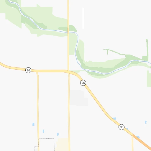
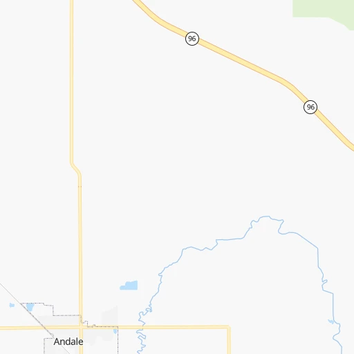
Roadmap (route) to go from High Point Airport to Hastings detailed above, you can also see the course layout on the map.
While doing trip High Point (airport) - Hastings by car, the calculated route ends at a distance , or more straight.
Distance and duration of the route between High Point (airport) and Hastings
Calculation of distance and route from Hastings to High Point (airport) :
317.3371.5 km4h9mn
Continue onto West 89th Street North 0h1mn 260 mTurn right onto North Seneca Street 0h2mn 815 mTurn right onto West 93rd Street North 0h2mn 1.6 kmTurn left onto North Broadway Street 0h2mn 1.6 kmTurn right onto East 101st Street North 0h1mn 895 mTurn left 2h40mn 178.0 kmKeep right 0h1mn 569 mTurn left onto Deer Road 0h29mn 44.0 kmTurn right onto KS 14 1h34mn 37.1 kmTurn left onto US 36 0h9mn 12.0 kmTurn right onto KS 128 1h42mn 57.9 kmContinue onto Road 2200 0h23mn 30.2 kmTurn left onto East Idlewilde Road 0h1mn 1.6 kmTurn right onto South Elm Avenue 0h3mn 2.8 kmTurn left onto East D Street 0h1mn 548 mTurn right onto South Pine Avenue 0h1mn 718 mTurn left onto East 2nd Street 0h0mn 350 mTurn left onto West 3rd Street 0h0mn 414 mArrive at destination 0h0mn 0 m
Travel from High Point (airport) (Nebraska) to a selection of major cities.
Distances from High Point Airport to biggest cities in Kansas
- Gardner,20,868 inhabitants.237 km
- Liberal,20,746 inhabitants.328 km
- Pittsburg,20,409 inhabitants.238 km
Other major cities in country :
- Charlotte [NC], 827,097 inhabitants. 1,503 km
- Seattle [WA], 684,451 inhabitants. 2,299 km
- Denver [CO], 682,545 inhabitants. 695 km
- El Paso [TX], 681,124 inhabitants. 1,074 km
- Detroit [MI], 677,116 inhabitants. 1,315 km
- Boston [MA], 667,137 inhabitants. 2,284 km
- Memphis [TN], 655,770 inhabitants. 719 km
- New South Memphis [TN], 641,608 inhabitants. 721 km
- Portland [OR], 632,309 inhabitants. 2,260 km
- Oklahoma City [OK], 631,346 inhabitants. 265 km
- Las Vegas [NV], 623,747 inhabitants. 1,589 km
- Baltimore [MD], 621,849 inhabitants. 1,808 km
- Washington, D.C. [DC], 601,723 inhabitants. 1,773 km
- Milwaukee [WI], 600,155 inhabitants. 986 km
- South Boston [MA], 571,281 inhabitants. 2,285 km
- Albuquerque [NM], 559,121 inhabitants. 887 km
- Tucson [AZ], 531,641 inhabitants. 1,385 km
- Nashville [TN], 530,852 inhabitants. 957 km
- Fresno [CA], 520,052 inhabitants. 1,985 km
- Sacramento [CA], 490,712 inhabitants. 2,107 km
Route from Hastings to major cities (United States).
- Distance Hastings New York City2,053 km
- Distance Hastings Los Angeles1,897 km
- Distance Hastings Chicago909 km
- Distance Hastings Brooklyn2,058 km
- Distance Hastings Houston1,236 km
- Distance Hastings Queens2,067 km
- Distance Hastings Philadelphia1,968 km
- Distance Hastings Phoenix1,450 km
- Distance Hastings Manhattan2,055 km
- Distance Hastings San Antonio1,243 km
- Distance Hastings San Diego1,886 km
- Distance Hastings The Bronx2,062 km
- Distance Hastings Dallas880 km
- Distance Hastings San Jose2,060 km
- Distance Hastings Austin1,150 km
- Distance Hastings Jacksonville1,893 km
- Distance Hastings San Francisco2,090 km
- Distance Hastings Columbus1,307 km
- Distance Hastings Fort Worth880 km
- Distance Hastings Indianapolis1,043 km
Nearest cities to High Point (airport) :
- Oklahoma City, 631,346 inhabitants. 265 km
- Kansas City, 475,378 inhabitants. 279 km
- Tulsa, 403,505 inhabitants. 224 km
- Wichita, 389,965 inhabitants. 17 km
- Lincoln, 277,348 inhabitants. 334 km
- Overland Park, 186,515 inhabitants. 266 km
- Kansas City, 151,306 inhabitants. 276 km
- Olathe, 134,305 inhabitants. 249 km
- Topeka, 127,265 inhabitants. 198 km
- Norman, 120,284 inhabitants. 292 km
- Independence, 117,255 inhabitants. 291 km
- East Independence, 110,675 inhabitants. 296 km
- Broken Arrow, 106,563 inhabitants. 243 km
- Lee's Summit, 95,094 inhabitants. 285 km
- Lawrence, 93,917 inhabitants. 223 km
- Edmond, 90,092 inhabitants. 244 km
- Fort Smith, 88,194 inhabitants. 380 km
- Saint Joseph, 76,780 inhabitants. 305 km
- Shawnee, 65,046 inhabitants. 265 km
- Moore, 60,451 inhabitants. 279 km
- Midwest City, 57,249 inhabitants. 267 km
- Manhattan, 56,308 inhabitants. 164 km
- Lenexa, 52,490 inhabitants. 259 km
- Joplin, 51,818 inhabitants. 265 km
- Enid, 51,776 inhabitants. 168 km
- Stillwater, 48,967 inhabitants. 194 km
- Salina, 47,813 inhabitants. 113 km
- Hutchinson, 41,569 inhabitants. 56 km
- Muskogee, 38,456 inhabitants. 293 km
- Bartlesville, 36,595 inhabitants. 172 km
- Leavenworth, 35,980 inhabitants. 267 km
- Leawood, 34,579 inhabitants. 269 km
- Owasso, 34,542 inhabitants. 220 km
- Kearney, 33,021 inhabitants. 351 km
- Shawnee, 31,286 inhabitants. 283 km
- Liberty, 30,450 inhabitants. 299 km
- Raytown, 29,401 inhabitants. 283 km
- Dodge City, 27,912 inhabitants. 235 km
- Gladstone, 26,861 inhabitants. 287 km
- Yukon, 25,892 inhabitants. 263 km
- Grandview, 25,256 inhabitants. 272 km
- Hastings, 24,924 inhabitants. 318 km
- Ponca City, 24,758 inhabitants. 129 km
- Bixby, 24,657 inhabitants. 249 km
- Emporia, 24,649 inhabitants. 120 km
- Junction City, 24,621 inhabitants. 139 km
- Derby, 23,509 inhabitants. 34 km
- Belton, 23,168 inhabitants. 269 km
- Del City, 22,022 inhabitants. 268 km
- Prairie Village, 21,877 inhabitants. 269 km
Location High Point (airport) (Kansas) :
| Country flag |  |
| Location | High Point (airport) |
| State | Kansas |
| County | Sedgwick County |
| Country | United States |
| Country code / ISO 2 | US |
| Latitude | 37.8461900 |
| Longitude | -97.3510300 |
| Altitude | 425 meters |
| Time zone | America/Chicago |
Location Hastings (Nebraska) :
| Country flag | |
| Location | Hastings |
| State | Nebraska |
| County | Adams County |
| Country | United States |
| Country code / ISO 2 | US |
| Latitude | 40.5861200 |
| Longitude | -98.3883900 |
| Altitude | 587 meters |
| Time zone | America/Chicago |

