


How to get from Caney Airpark (Kansas) to Hays (Kansas)
Calculate route from Caney Airpark (Kansas, United States) to Hays (Kansas, United States).
The flight distance (as the crow flies) between Caney Airpark and Hays is 361.4 km.
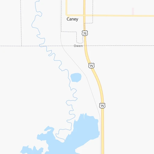
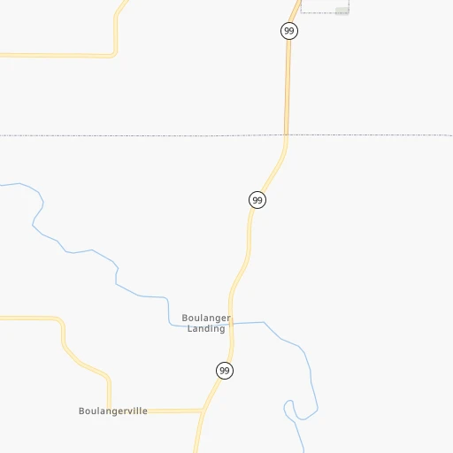
Roadmap (route) to go from Caney Airpark to Hays detailed above, you can also see the course layout on the map.
While doing trip Caney Airpark - Hays by car, the calculated route ends at a distance , or more straight.
Distance and duration of the route between Caney Airpark and Hays
Calculation of distance and route from Hays to Caney Airpark :
361.4475.9 km5h14mn
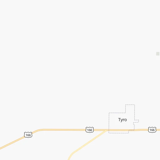
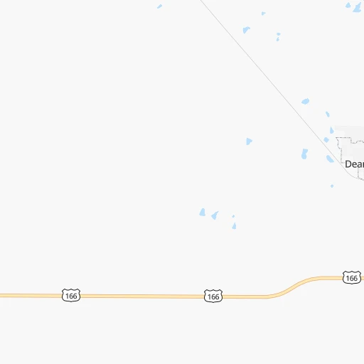
Continue onto County Road 1300 0h2mn 802 mTurn left onto County Road 1400 0h0mn 452 mContinue onto West 6th Avenue 0h0mn 231 mTurn left onto South Wood Street 0h2mn 1.6 kmTurn left onto County Road 1600 0h7mn 5.5 kmTurn left onto US 166 1h46mn 70.0 kmTurn right onto 243rd Drive 0h20mn 19.7 kmContinue onto US 160, KS 15 0h11mn 17.2 kmKeep right onto Simpson Avenue 0h3mn 2.8 kmTurn right onto Main Street 0h11mn 16.4 kmTurn left onto Highway K15 1h40mn 43.6 kmKeep right and take I 135 North, US 81 North, KS 15 North toward Salina 1h26mn 149.4 kmKeep right and take I 70 West toward Hays 1h20mn 143.1 kmKeep right and drive toward Commerce Parkway 0h0mn 487 mTurn sharp left onto Commerce Parkway 0h1mn 493 mTurn right onto 22nd Street 0h4mn 3.4 kmTurn left onto Allen Street 0h0mn 99 mTurn right onto East 21st Street 0h1mn 313 mTurn left onto Oak Street 0h0mn 98 mTurn right onto East 20th Street 0h0mn 24 mContinue onto East 20th Street 0h0mn 132 mTurn left onto Main Street 0h0mn 50 mTurn right 0h0mn 89 mArrive at destination 0h0mn 0 m
Travel from Caney Airpark (Kansas) to a selection of major cities.
Distances from Caney Airpark to biggest cities in Kansas
- Gardner,20,868 inhabitants.219 km
- Liberal,20,746 inhabitants.442 km
- Pittsburg,20,409 inhabitants.118 km
Other major cities in country :
- Charlotte [NC], 827,097 inhabitants. 1,371 km
- Seattle [WA], 684,451 inhabitants. 2,454 km
- Denver [CO], 682,545 inhabitants. 845 km
- El Paso [TX], 681,124 inhabitants. 1,131 km
- Detroit [MI], 677,116 inhabitants. 1,252 km
- Boston [MA], 667,137 inhabitants. 2,204 km
- Memphis [TN], 655,770 inhabitants. 570 km
- New South Memphis [TN], 641,608 inhabitants. 572 km
- Portland [OR], 632,309 inhabitants. 2,414 km
- Oklahoma City [OK], 631,346 inhabitants. 223 km
- Las Vegas [NV], 623,747 inhabitants. 1,715 km
- Baltimore [MD], 621,849 inhabitants. 1,708 km
- Washington, D.C. [DC], 601,723 inhabitants. 1,670 km
- Milwaukee [WI], 600,155 inhabitants. 958 km
- South Boston [MA], 571,281 inhabitants. 2,205 km
- Albuquerque [NM], 559,121 inhabitants. 987 km
- Tucson [AZ], 531,641 inhabitants. 1,471 km
- Nashville [TN], 530,852 inhabitants. 824 km
- Fresno [CA], 520,052 inhabitants. 2,116 km
- Sacramento [CA], 490,712 inhabitants. 2,247 km
Route from Hays to major cities (United States).
- Distance Hays New York City2,168 km
- Distance Hays Los Angeles1,773 km
- Distance Hays Chicago1,043 km
- Distance Hays Brooklyn2,173 km
- Distance Hays Houston1,078 km
- Distance Hays Queens2,182 km
- Distance Hays Philadelphia2,075 km
- Distance Hays Phoenix1,294 km
- Distance Hays Manhattan2,171 km
- Distance Hays San Antonio1,055 km
- Distance Hays San Diego1,747 km
- Distance Hays The Bronx2,179 km
- Distance Hays Dallas716 km
- Distance Hays San Jose1,979 km
- Distance Hays Austin970 km
- Distance Hays Jacksonville1,873 km
- Distance Hays San Francisco2,015 km
- Distance Hays Columbus1,407 km
- Distance Hays Fort Worth709 km
- Distance Hays Indianapolis1,137 km
Nearest cities to Caney Airpark :
- Oklahoma City, 631,346 inhabitants. 223 km
- Kansas City, 475,378 inhabitants. 261 km
- Tulsa, 403,505 inhabitants. 96 km
- Wichita, 389,965 inhabitants. 144 km
- Overland Park, 186,515 inhabitants. 246 km
- Springfield, 166,810 inhabitants. 236 km
- Kansas City, 151,306 inhabitants. 260 km
- Olathe, 134,305 inhabitants. 230 km
- Topeka, 127,265 inhabitants. 227 km
- Norman, 120,284 inhabitants. 241 km
- Independence, 117,255 inhabitants. 267 km
- East Independence, 110,675 inhabitants. 270 km
- Broken Arrow, 106,563 inhabitants. 108 km
- Lawton, 96,655 inhabitants. 347 km
- Lee's Summit, 95,094 inhabitants. 252 km
- Lawrence, 93,917 inhabitants. 226 km
- Edmond, 90,092 inhabitants. 205 km
- Fort Smith, 88,194 inhabitants. 229 km
- Fayetteville, 82,830 inhabitants. 192 km
- Springdale, 77,859 inhabitants. 187 km
- Saint Joseph, 76,780 inhabitants. 321 km
- Shawnee, 65,046 inhabitants. 250 km
- Rogers, 63,159 inhabitants. 180 km
- Moore, 60,451 inhabitants. 232 km
- Midwest City, 57,249 inhabitants. 218 km
- Manhattan, 56,308 inhabitants. 247 km
- Blue Springs, 54,148 inhabitants. 266 km
- Lenexa, 52,490 inhabitants. 240 km
- Joplin, 51,818 inhabitants. 127 km
- Enid, 51,776 inhabitants. 186 km
- Stillwater, 48,967 inhabitants. 141 km
- Salina, 47,813 inhabitants. 250 km
- Bentonville, 44,499 inhabitants. 171 km
- Hutchinson, 41,569 inhabitants. 210 km
- Muskogee, 38,456 inhabitants. 150 km
- Bartlesville, 36,595 inhabitants. 30 km
- Leavenworth, 35,980 inhabitants. 271 km
- Hot Springs, 35,635 inhabitants. 383 km
- Hot Springs National Park, 35,193 inhabitants. 380 km
- Leawood, 34,579 inhabitants. 246 km
- Owasso, 34,542 inhabitants. 84 km
- Shawnee, 31,286 inhabitants. 208 km
- Liberty, 30,450 inhabitants. 282 km
- Raytown, 29,401 inhabitants. 257 km
- Russellville, 29,166 inhabitants. 318 km
- Bella Vista, 27,999 inhabitants. 161 km
- Gladstone, 26,861 inhabitants. 272 km
- Yukon, 25,892 inhabitants. 234 km
- Grandview, 25,256 inhabitants. 242 km
- Ardmore, 25,176 inhabitants. 335 km
Location Caney Airpark (Kansas) :
| Country flag |  |
| Location | Caney Airpark |
| State | Kansas |
| County | Montgomery County |
| Country | United States |
| Country code / ISO 2 | US |
| Latitude | 37.0167400 |
| Longitude | -95.9447000 |
| Altitude | 223 meters |
| Time zone | America/Chicago |
Location Hays (Kansas) :
| Country flag | |
| Location | Hays |
| State | Kansas |
| County | Ellis County |
| Country | United States |
| Country code / ISO 2 | US |
| Latitude | 38.8791800 |
| Longitude | -99.3267700 |
| Altitude | 616 meters |
| Time zone | America/Chicago |


