

How to get from Blaser's (airport) (Kansas) to Lee's Summit (Missouri)
Calculate route from Blaser's (airport) (Kansas, United States) to Lee's Summit (Missouri, United States).
The flight distance (as the crow flies) between Blaser's (airport) and Lee's Summit is 65.2 km.
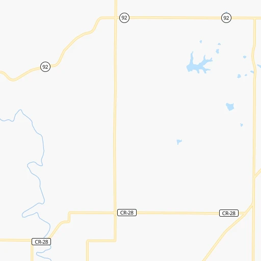
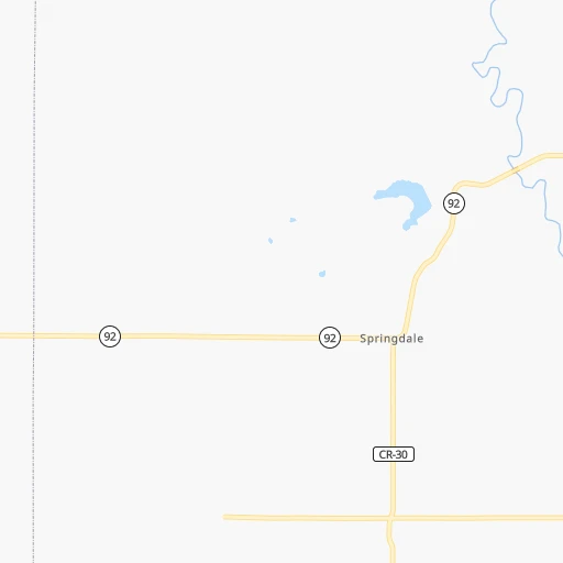
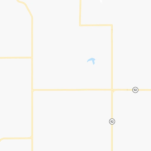
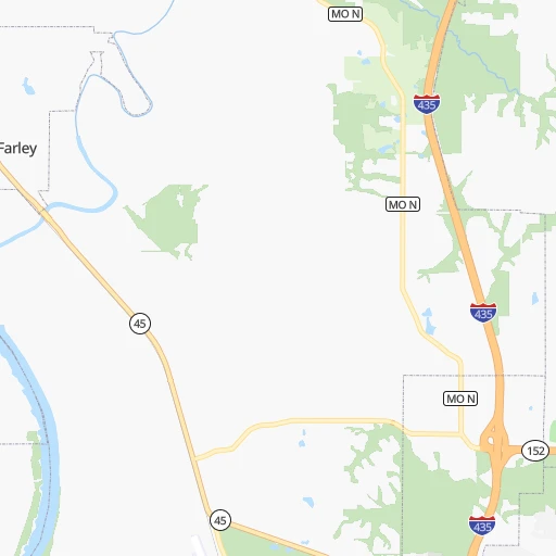
Roadmap (route) to go from Blaser's Airport to Lee's Summit detailed above, you can also see the course layout on the map.
While doing trip Blaser's (airport) - Lee's Summit by car, the calculated route ends at a distance , or more straight.
Distance and duration of the route between Blaser's (airport) and Lee's Summit
Calculation of distance and route from Lee's Summit to Blaser's (airport) :
65.287.1 km1h3mn
Continue 0h0mn 103 mTurn right onto Eisenhower Road 0h7mn 7.5 kmTurn sharp right onto North Main Street 0h10mn 13.8 kmTurn left onto Leavenworth Road 0h7mn 6.7 kmKeep right toward I 435 South 0h27mn 43.2 kmKeep right onto I 470, US 50 and take I 470 East, US 50 East, I 49 South, US 71 South toward Lee's Summit, Grandview, Joplin 0h7mn 10.3 kmKeep right onto US 50 and take US 50 East toward Sedalia 0h1mn 1.0 kmKeep left onto US 50 and take US 50 East toward Sedalia 0h2mn 3.3 kmKeep right 0h0mn 235 mTurn left onto Southwest 3rd Street 0h1mn 1.1 kmArrive at destination 0h0mn 0 m
Travel from Blaser's (airport) (Missouri) to a selection of major cities.
Distances from Blaser's Airport to biggest cities in Kansas
- Gardner,20,868 inhabitants.51 km
- Liberal,20,746 inhabitants.575 km
- Pittsburg,20,409 inhabitants.208 km
Other major cities in country :
- Charlotte [NC], 827,097 inhabitants. 1,330 km
- Seattle [WA], 684,451 inhabitants. 2,382 km
- Denver [CO], 682,545 inhabitants. 860 km
- El Paso [TX], 681,124 inhabitants. 1,334 km
- Detroit [MI], 677,116 inhabitants. 1,062 km
- Boston [MA], 667,137 inhabitants. 2,038 km
- Memphis [TN], 655,770 inhabitants. 633 km
- New South Memphis [TN], 641,608 inhabitants. 638 km
- Portland [OR], 632,309 inhabitants. 2,367 km
- Oklahoma City [OK], 631,346 inhabitants. 478 km
- Las Vegas [NV], 623,747 inhabitants. 1,803 km
- Baltimore [MD], 621,849 inhabitants. 1,581 km
- Washington, D.C. [DC], 601,723 inhabitants. 1,549 km
- Milwaukee [WI], 600,155 inhabitants. 727 km
- South Boston [MA], 571,281 inhabitants. 2,039 km
- Albuquerque [NM], 559,121 inhabitants. 1,133 km
- Tucson [AZ], 531,641 inhabitants. 1,636 km
- Nashville [TN], 530,852 inhabitants. 800 km
- Fresno [CA], 520,052 inhabitants. 2,185 km
- Sacramento [CA], 490,712 inhabitants. 2,289 km
Route from Lee's Summit to major cities (United States).
- Distance Lee's Summit New York City1,750 km
- Distance Lee's Summit Los Angeles2,196 km
- Distance Lee's Summit Chicago658 km
- Distance Lee's Summit Brooklyn1,755 km
- Distance Lee's Summit Houston1,022 km
- Distance Lee's Summit Queens1,764 km
- Distance Lee's Summit Philadelphia1,653 km
- Distance Lee's Summit Phoenix1,698 km
- Distance Lee's Summit Manhattan1,753 km
- Distance Lee's Summit San Antonio1,122 km
- Distance Lee's Summit San Diego2,162 km
- Distance Lee's Summit The Bronx1,762 km
- Distance Lee's Summit Dallas716 km
- Distance Lee's Summit San Jose2,407 km
- Distance Lee's Summit Austin1,010 km
- Distance Lee's Summit Jacksonville1,504 km
- Distance Lee's Summit San Francisco2,442 km
- Distance Lee's Summit Columbus985 km
- Distance Lee's Summit Fort Worth738 km
- Distance Lee's Summit Indianapolis714 km
Nearest cities to Blaser's (airport) :
- Kansas City, 475,378 inhabitants. 40 km
- Omaha, 443,885 inhabitants. 236 km
- Wichita, 389,965 inhabitants. 269 km
- Lincoln, 277,348 inhabitants. 223 km
- Des Moines, 210,330 inhabitants. 285 km
- Overland Park, 186,515 inhabitants. 42 km
- Springfield, 166,810 inhabitants. 272 km
- Kansas City, 151,306 inhabitants. 35 km
- Olathe, 134,305 inhabitants. 45 km
- Topeka, 127,265 inhabitants. 64 km
- Columbia, 119,108 inhabitants. 232 km
- Independence, 117,255 inhabitants. 53 km
- East Independence, 110,675 inhabitants. 58 km
- Lee's Summit, 95,094 inhabitants. 65 km
- Lawrence, 93,917 inhabitants. 39 km
- Saint Joseph, 76,780 inhabitants. 57 km
- Ames, 65,060 inhabitants. 329 km
- Shawnee, 65,046 inhabitants. 34 km
- West Des Moines, 64,113 inhabitants. 279 km
- Rogers, 63,159 inhabitants. 335 km
- Council Bluffs, 62,597 inhabitants. 235 km
- Ankeny, 56,764 inhabitants. 298 km
- Manhattan, 56,308 inhabitants. 137 km
- Bellevue, 55,510 inhabitants. 222 km
- Blue Springs, 54,148 inhabitants. 67 km
- Lenexa, 52,490 inhabitants. 41 km
- Joplin, 51,818 inhabitants. 246 km
- Enid, 51,776 inhabitants. 408 km
- Salina, 47,813 inhabitants. 232 km
- Bentonville, 44,499 inhabitants. 329 km
- Urbandale, 44,062 inhabitants. 284 km
- Jefferson City, 43,169 inhabitants. 255 km
- Hutchinson, 41,569 inhabitants. 289 km
- Bartlesville, 36,595 inhabitants. 293 km
- Leavenworth, 35,980 inhabitants. 8 km
- Leawood, 34,579 inhabitants. 46 km
- Owasso, 34,542 inhabitants. 342 km
- Liberty, 30,450 inhabitants. 49 km
- Raytown, 29,401 inhabitants. 53 km
- Bella Vista, 27,999 inhabitants. 316 km
- Marshalltown, 27,620 inhabitants. 356 km
- Gladstone, 26,861 inhabitants. 38 km
- Fremont, 26,474 inhabitants. 273 km
- Grandview, 25,256 inhabitants. 57 km
- Ponca City, 24,758 inhabitants. 339 km
- Emporia, 24,649 inhabitants. 141 km
- Ottumwa, 24,624 inhabitants. 294 km
- Junction City, 24,621 inhabitants. 161 km
- Norfolk, 24,366 inhabitants. 370 km
- Derby, 23,509 inhabitants. 276 km
Location Blaser's (airport) (Kansas) :
| Country flag |  |
| Location | Blaser's (airport) |
| State | Kansas |
| County | Leavenworth County |
| Country | United States |
| Country code / ISO 2 | US |
| Latitude | 39.2635400 |
| Longitude | -94.9868400 |
| Altitude | 315 meters |
| Time zone | America/Chicago |
Location Lee's Summit (Missouri) :
| Country flag | |
| Location | Lee's Summit |
| State | Missouri |
| County | Jackson County |
| Country | United States |
| Country code / ISO 2 | US |
| Latitude | 38.9108400 |
| Longitude | -94.3821700 |
| Altitude | 316 meters |
| Time zone | America/Chicago |


