
How to get from Von Sloughs (airport) (Indiana) to Brooklyn (New York)
Calculate route from Von Sloughs (airport) (Indiana, United States) to Brooklyn (New York, United States).
The flight distance (as the crow flies) between Von Sloughs (airport) and Brooklyn is 1,122.1 km.
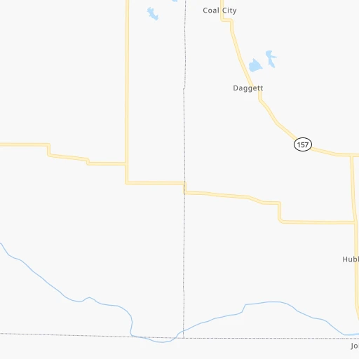
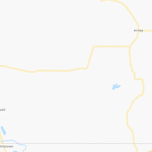
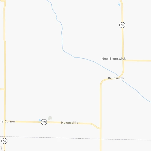
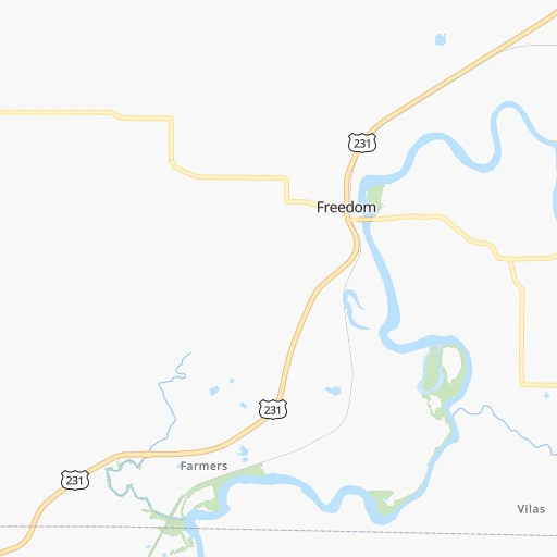
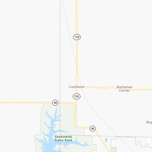
Roadmap (route) to go from Von Sloughs Airport to Brooklyn detailed above, you can also see the course layout on the map.
While doing trip Von Sloughs (airport) - Brooklyn by car, the calculated route ends at a distance , or more straight.
Distance and duration of the route between Von Sloughs (airport) and Brooklyn
Calculation of distance and route from Brooklyn to Von Sloughs (airport) :
1,122.11,247.7 km14h5mn
Continue onto Coal City-Arney Road 0h7mn 5.7 kmTurn left onto Pleasant Bethel Road 0h1mn 911 mTurn right onto Freedom Arney Road 0h4mn 3.0 kmTurn right onto Freedom Arney Road 0h3mn 2.5 kmTurn left onto Freedom Arney Road 0h1mn 823 mTurn left onto Main Street 0h12mn 14.4 kmTurn left onto North Harrison Street 0h0mn 104 mTurn right onto East North Street 0h0mn 323 mTurn left onto Fletcher Avenue 0h8mn 8.6 kmTurn right onto State Road 67 0h21mn 27.3 kmKeep right toward SR 37 South 0h0mn 78 mTurn slight right onto State Road 39 0h1mn 1.4 kmTurn left onto West Morgan Street 0h5mn 3.2 kmTurn right onto Reuben Drive 0h1mn 786 mTurn left and take I 69 North toward Indianapolis 0h22mn 36.1 kmKeep right onto SR 37 toward I 465 East, I 74 East, SR 37 North 0h16mn 21.4 kmKeep right and take I 70 East toward Dayton 1h6mn 110.3 kmKeep left onto I 70 1h44mn 72.5 kmKeep left onto I 70 1h47mn 79.0 kmKeep right onto West Freeway 2h60mn 198.6 kmKeep right onto I 470 1h36mn 55.9 kmKeep right and take US 40 toward Chestnut Street 0h0mn 261 mKeep right toward US 40 0h3mn 2.4 kmKeep right 0h0mn 215 mTurn left onto West Beau Street 0h3mn 2.5 kmKeep right 0h0mn 51 mTurn slight right onto Clare Drive 0h0mn 66 mTurn left 0h2mn 3.1 kmContinue onto Dwight D Eisenhower Highway 0h23mn 30.2 kmKeep right and drive toward Speers 0h14mn 18.1 kmKeep right and take PA 31 toward Mount Pleasant, West Newton 0h0mn 424 mKeep right 0h0mn 78 mTurn slight right onto Mount Pleasant Road 0h27mn 29.7 kmKeep left 0h0mn 248 mTurn left 0h0mn 159 mKeep right 2h13mn 219.4 kmKeep right and take I 81, US 11 toward Carlisle, Harrisburg 0h1mn 1.4 kmKeep left and take US 11 North toward Harrisburg 0h2mn 2.2 kmContinue onto Harrisburg Pike 0h0mn 242 mTurn sharp left onto Cook Drive 0h19mn 28.5 kmContinue onto American Legion Memorial Highway 0h20mn 30.7 kmKeep right onto I 78 and take I 78 East toward Allentown 1h55mn 82.0 kmKeep right onto Lehigh Valley Thruway and take US 22 East toward Pennsylvania Turnpike, LVI Airport 0h24mn 31.6 kmKeep right and take PA 248 toward Wilson, 25th Street 0h0mn 295 mKeep left and take PA 248 toward Wilson, Easton, Lehighton 0h0mn 39 mTurn slight left onto Wood Avenue 0h0mn 193 mKeep right and take PA 248 East toward Wilson 0h0mn 74 mTurn slight right onto Northampton Street 0h3mn 3.4 kmAt roundabout, take exit 2 onto Northampton Street 0h1mn 649 mTurn right onto South Main Street 0h4mn 4.2 kmKeep right onto New Brunswick Avenue 0h3mn 2.0 kmTurn right onto US 22 0h0mn 111 mKeep right onto US 22 toward I 78, US 22 East 0h0mn 216 mKeep left onto US 22 and take I 78 East, US 22 East toward New York 0h29mn 45.1 kmKeep right onto Phillipsburg-Newark Expressway 0h10mn 16.4 kmKeep right and drive toward Berkeley Heights, Scotch Plains 0h0mn 358 mKeep left and take CR 641 South toward Berkeley Heights, Scotch Plains 0h0mn 31 mTurn left onto Dale Road 0h1mn 730 mTurn right onto Plainfield Avenue 0h3mn 2.8 kmKeep right 0h1mn 453 mKeep right 0h0mn 115 mTurn slight right onto Park Avenue 0h2mn 1.3 kmTurn left onto Midway Avenue 0h8mn 6.5 kmKeep right 0h0mn 251 mKeep left onto South Avenue West 0h3mn 2.6 kmTurn right onto Aldene Road 0h1mn 335 mKeep left onto West 3rd Avenue 0h5mn 3.9 kmTurn right onto Elmora Avenue 0h2mn 1.6 kmAt roundabout, take exit 6 onto Bayway 0h1mn 1.2 kmTurn left onto Brunswick Avenue 0h0mn 171 mKeep right and take I 278 Toll East toward Goethals Bridge 0h2mn 2.7 kmKeep right and drive toward Inspection Station 0h9mn 10.7 kmKeep left onto Staten Island Expressway and drive toward Upper Level 0h4mn 4.8 kmKeep right toward I 278 East 0h0mn 324 mKeep right and drive toward Fort Hamilton Parkway 0h0mn 253 mKeep right and drive toward Fort Hamilton Parkway 0h0mn 44 mTurn slight right onto Fort Hamilton Parkway 0h3mn 3.2 kmTurn right onto 39th Street 0h1mn 691 mTurn left onto 14th Avenue 0h4mn 3.3 kmTurn right onto Nostrand Avenue 0h0mn 78 mArrive at destination 0h0mn 0 m
Travel from Von Sloughs (airport) (New York) to a selection of major cities.
Distances from Von Sloughs Airport to biggest cities in Indiana
- Columbus,46,690 inhabitants.92 km
- West Lafayette,45,550 inhabitants.137 km
- Portage,36,738 inhabitants.265 km
- Westfield,36,738 inhabitants.120 km
- New Albany,36,732 inhabitants.143 km
- Richmond,35,854 inhabitants.194 km
- Merrillville,35,224 inhabitants.256 km
- Goshen,32,983 inhabitants.283 km
- Valparaiso,32,626 inhabitants.253 km
- Michigan City,31,459 inhabitants.280 km
- Plainfield,30,590 inhabitants.76 km
- Granger,30,465 inhabitants.294 km
- Marion,29,081 inhabitants.190 km
- Crown Point,28,879 inhabitants.249 km
- Schererville,28,791 inhabitants.257 km
- East Chicago,28,699 inhabitants.275 km
- Hobart,28,404 inhabitants.261 km
- Zionsville,26,296 inhabitants.105 km
- Brownsburg,24,996 inhabitants.88 km
- Franklin,24,598 inhabitants.87 km
Other major cities in country :
- Seattle [WA], 684,451 inhabitants. 2,978 km
- Denver [CO], 682,545 inhabitants. 1,545 km
- El Paso [TX], 681,124 inhabitants. 1,946 km
- Detroit [MI], 677,116 inhabitants. 482 km
- Boston [MA], 667,137 inhabitants. 1,386 km
- Memphis [TN], 655,770 inhabitants. 526 km
- New South Memphis [TN], 641,608 inhabitants. 532 km
- Portland [OR], 632,309 inhabitants. 2,992 km
- Oklahoma City [OK], 631,346 inhabitants. 1,019 km
- Las Vegas [NV], 623,747 inhabitants. 2,492 km
- Baltimore [MD], 621,849 inhabitants. 894 km
- Washington, D.C. [DC], 601,723 inhabitants. 861 km
- Milwaukee [WI], 600,155 inhabitants. 435 km
- South Boston [MA], 571,281 inhabitants. 1,386 km
- Albuquerque [NM], 559,121 inhabitants. 1,800 km
- Tucson [AZ], 531,641 inhabitants. 2,290 km
- Nashville [TN], 530,852 inhabitants. 338 km
- Fresno [CA], 520,052 inhabitants. 2,874 km
- Sacramento [CA], 490,712 inhabitants. 2,972 km
- Kansas City [MO], 475,378 inhabitants. 655 km
Route from Brooklyn to major cities (United States).
- Distance Brooklyn Los Angeles3,945 km
- Distance Brooklyn Chicago1,153 km
- Distance Brooklyn Houston2,285 km
- Distance Brooklyn Philadelphia129 km
- Distance Brooklyn Phoenix3,452 km
- Distance Brooklyn San Antonio2,550 km
- Distance Brooklyn San Diego3,917 km
- Distance Brooklyn Dallas2,211 km
- Distance Brooklyn San Jose4,113 km
- Distance Brooklyn Austin2,436 km
- Distance Brooklyn Jacksonville1,343 km
- Distance Brooklyn San Francisco4,140 km
- Distance Brooklyn Columbus772 km
- Distance Brooklyn Fort Worth2,256 km
- Distance Brooklyn Indianapolis1,042 km
- Distance Brooklyn Charlotte854 km
- Distance Brooklyn Seattle3,877 km
- Distance Brooklyn Denver2,627 km
- Distance Brooklyn El Paso3,065 km
- Distance Brooklyn Detroit781 km
Nearest cities to Von Sloughs (airport) :
- Chicago, 2,720,546 inhabitants. 301 km
- Indianapolis, 829,718 inhabitants. 96 km
- Lexington-Fayette, 314,488 inhabitants. 255 km
- Cincinnati, 296,943 inhabitants. 214 km
- Fort Wayne, 260,326 inhabitants. 267 km
- Louisville, 243,639 inhabitants. 150 km
- Lexington, 225,366 inhabitants. 257 km
- Aurora, 200,661 inhabitants. 307 km
- Clarksville, 149,176 inhabitants. 299 km
- Joliet, 147,861 inhabitants. 275 km
- Naperville, 147,100 inhabitants. 304 km
- Dayton, 140,599 inhabitants. 249 km
- Evansville, 119,943 inhabitants. 145 km
- Springfield, 116,565 inhabitants. 237 km
- Peoria, 115,070 inhabitants. 277 km
- North Peoria, 113,004 inhabitants. 278 km
- Elgin, 112,111 inhabitants. 334 km
- South Bend, 101,516 inhabitants. 284 km
- Carmel, 88,713 inhabitants. 115 km
- West Town, 86,429 inhabitants. 306 km
- Champaign, 86,096 inhabitants. 148 km
- Near North Side, 85,711 inhabitants. 306 km
- Bloomington, 84,067 inhabitants. 40 km
- Cicero, 83,886 inhabitants. 302 km
- Belmont Cragin, 79,159 inhabitants. 311 km
- Bloomington, 78,292 inhabitants. 223 km
- Hammond, 77,614 inhabitants. 269 km
- Gary, 77,156 inhabitants. 268 km
- Fishers, 76,794 inhabitants. 119 km
- Arlington Heights, 75,926 inhabitants. 333 km
- Evanston, 75,527 inhabitants. 322 km
- Schaumburg, 74,693 inhabitants. 329 km
- Bolingbrook, 74,306 inhabitants. 293 km
- South Lawndale, 73,826 inhabitants. 301 km
- Logan Square, 73,702 inhabitants. 309 km
- Decatur, 73,254 inhabitants. 183 km
- West Ridge, 72,211 inhabitants. 318 km
- Lafayette, 71,111 inhabitants. 136 km
- Muncie, 70,087 inhabitants. 177 km
- Palatine, 69,308 inhabitants. 336 km
- Lincoln Park, 66,959 inhabitants. 308 km
- Portage Park, 64,841 inhabitants. 314 km
- Skokie, 64,821 inhabitants. 322 km
- Bowling Green, 63,616 inhabitants. 250 km
- Hamilton, 62,407 inhabitants. 211 km
- Terre Haute, 60,825 inhabitants. 47 km
- Noblesville, 59,093 inhabitants. 127 km
- Owensboro, 59,042 inhabitants. 159 km
- Des Plaines, 58,677 inhabitants. 325 km
- Orland Park, 58,619 inhabitants. 281 km
Location Von Sloughs (airport) (Indiana) :
| Country flag |  |
| Location | Von Sloughs (airport) |
| State | Indiana |
| County | Owen County |
| Country | United States |
| Country code / ISO 2 | US |
| Latitude | 39.1967100 |
| Longitude | -86.9925100 |
| Altitude | 157 meters |
| Time zone | America/Indiana/Indianapolis |
Location Brooklyn (New York) :
| Country flag | |
| Location | Brooklyn |
| State | New York |
| County | Kings County |
| Country | United States |
| Country code / ISO 2 | US |
| Latitude | 40.6501000 |
| Longitude | -73.9495800 |
| Altitude | 15 meters |
| Time zone | America/New_York |


