
How to get from Milhon (airport) (Indiana) to Franklin (Indiana)
Calculate route from Milhon (airport) (Indiana, United States) to Franklin (Indiana, United States).
The flight distance (as the crow flies) between Milhon (airport) and Franklin is 28.5 km.
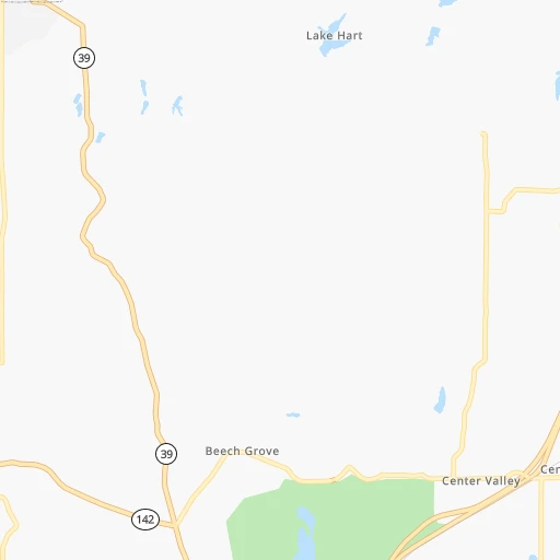
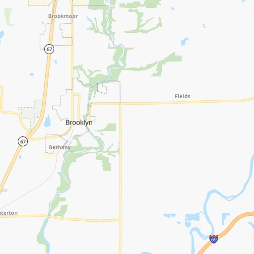
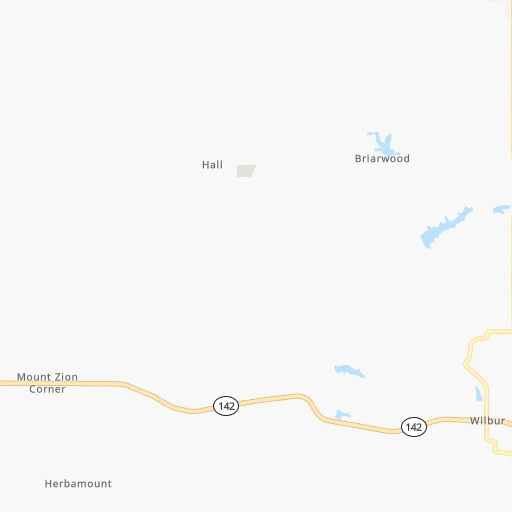
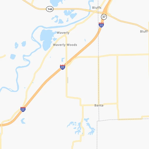
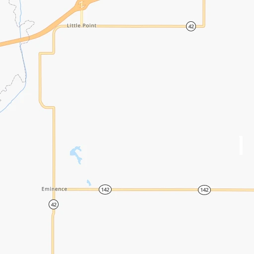
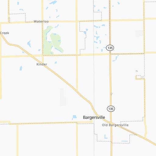
Roadmap (route) to go from Milhon Airport to Franklin detailed above, you can also see the course layout on the map.
While doing trip Milhon (airport) - Franklin by car, the calculated route ends at a distance , or more straight.
Distance and duration of the route between Milhon (airport) and Franklin
Calculation of distance and route from Franklin to Milhon (airport) :
28.538.1 km1h32mn
Continue 0h1mn 190 mTurn sharp right onto Centerton Road 0h3mn 2.6 kmTurn right onto Henderson Ford Road 0h3mn 2.6 kmAt roundabout, take exit 2 onto Henderson Ford Road 0h0mn 168 mAt roundabout, take exit 2 onto Henderson Ford Road 0h7mn 12.4 kmKeep right and take SR 144 toward Mooresville, Bargersville 0h0mn 440 mAt roundabout, take exit 1 onto Johnson County Route 144 0h4mn 4.3 kmAt roundabout, take exit 2 onto Johnson County Route 144 0h10mn 10.9 kmAt roundabout, take exit 2 onto Johnson County Route 144 0h2mn 1.9 kmAt roundabout, take exit 2 onto West Jefferson Street 0h2mn 2.5 kmArrive at destination 0h0mn 0 m
Travel from Milhon (airport) (Indiana) to a selection of major cities.
Distances from Milhon Airport to biggest cities in Indiana
- Columbus,46,690 inhabitants.53 km
- West Lafayette,45,550 inhabitants.111 km
- Portage,36,738 inhabitants.239 km
- Westfield,36,738 inhabitants.63 km
- New Albany,36,732 inhabitants.145 km
- Richmond,35,854 inhabitants.133 km
- Merrillville,35,224 inhabitants.234 km
- Goshen,32,983 inhabitants.235 km
- Valparaiso,32,626 inhabitants.226 km
- Michigan City,31,459 inhabitants.248 km
- Plainfield,30,590 inhabitants.21 km
- Granger,30,465 inhabitants.251 km
- Marion,29,081 inhabitants.132 km
- Crown Point,28,879 inhabitants.228 km
- Schererville,28,791 inhabitants.237 km
- East Chicago,28,699 inhabitants.253 km
- Hobart,28,404 inhabitants.237 km
- Zionsville,26,296 inhabitants.50 km
- Brownsburg,24,996 inhabitants.37 km
- Franklin,24,598 inhabitants.29 km
Other major cities in country :
- Seattle [WA], 684,451 inhabitants. 3,006 km
- Denver [CO], 682,545 inhabitants. 1,592 km
- El Paso [TX], 681,124 inhabitants. 2,007 km
- Detroit [MI], 677,116 inhabitants. 421 km
- Boston [MA], 667,137 inhabitants. 1,325 km
- Memphis [TN], 655,770 inhabitants. 584 km
- New South Memphis [TN], 641,608 inhabitants. 590 km
- Portland [OR], 632,309 inhabitants. 3,025 km
- Oklahoma City [OK], 631,346 inhabitants. 1,080 km
- Las Vegas [NV], 623,747 inhabitants. 2,544 km
- Baltimore [MD], 621,849 inhabitants. 841 km
- Washington, D.C. [DC], 601,723 inhabitants. 809 km
- Milwaukee [WI], 600,155 inhabitants. 413 km
- South Boston [MA], 571,281 inhabitants. 1,326 km
- Albuquerque [NM], 559,121 inhabitants. 1,857 km
- Tucson [AZ], 531,641 inhabitants. 2,349 km
- Nashville [TN], 530,852 inhabitants. 374 km
- Fresno [CA], 520,052 inhabitants. 2,923 km
- Sacramento [CA], 490,712 inhabitants. 3,018 km
- Kansas City [MO], 475,378 inhabitants. 707 km
Route from Franklin to major cities (United States).
- Distance Franklin New York City1,034 km
- Distance Franklin Los Angeles2,917 km
- Distance Franklin Chicago296 km
- Distance Franklin Brooklyn1,039 km
- Distance Franklin Houston1,376 km
- Distance Franklin Queens1,048 km
- Distance Franklin Philadelphia933 km
- Distance Franklin Phoenix2,415 km
- Distance Franklin Manhattan1,038 km
- Distance Franklin San Antonio1,596 km
- Distance Franklin San Diego2,882 km
- Distance Franklin The Bronx1,047 km
- Distance Franklin Dallas1,219 km
- Distance Franklin San Jose3,115 km
- Distance Franklin Austin1,478 km
- Distance Franklin Jacksonville1,094 km
- Distance Franklin San Francisco3,147 km
- Distance Franklin Columbus267 km
- Distance Franklin Fort Worth1,260 km
- Distance Franklin Charlotte661 km
Nearest cities to Milhon (airport) :
- Chicago, 2,720,546 inhabitants. 281 km
- Indianapolis, 829,718 inhabitants. 35 km
- Lexington-Fayette, 314,488 inhabitants. 233 km
- Cincinnati, 296,943 inhabitants. 167 km
- Toledo, 279,789 inhabitants. 338 km
- Fort Wayne, 260,326 inhabitants. 209 km
- Louisville, 243,639 inhabitants. 150 km
- Lexington, 225,366 inhabitants. 237 km
- Aurora, 200,661 inhabitants. 299 km
- Clarksville, 149,176 inhabitants. 343 km
- Rockford, 148,278 inhabitants. 382 km
- Joliet, 147,861 inhabitants. 266 km
- Naperville, 147,100 inhabitants. 294 km
- Dayton, 140,599 inhabitants. 190 km
- Evansville, 119,943 inhabitants. 199 km
- Ann Arbor, 117,070 inhabitants. 380 km
- Elgin, 112,111 inhabitants. 323 km
- South Bend, 101,516 inhabitants. 242 km
- Carmel, 88,713 inhabitants. 57 km
- Waukegan, 88,475 inhabitants. 340 km
- Canton, 86,825 inhabitants. 396 km
- West Town, 86,429 inhabitants. 287 km
- Champaign, 86,096 inhabitants. 173 km
- Near North Side, 85,711 inhabitants. 286 km
- Bloomington, 84,067 inhabitants. 41 km
- Cicero, 83,886 inhabitants. 284 km
- Westland, 82,000 inhabitants. 401 km
- Belmont Cragin, 79,159 inhabitants. 294 km
- Bloomington, 78,292 inhabitants. 247 km
- Hammond, 77,614 inhabitants. 249 km
- Gary, 77,156 inhabitants. 246 km
- Fishers, 76,794 inhabitants. 59 km
- Kalamazoo, 76,041 inhabitants. 317 km
- Arlington Heights, 75,926 inhabitants. 317 km
- Evanston, 75,527 inhabitants. 302 km
- Schaumburg, 74,693 inhabitants. 315 km
- Bolingbrook, 74,306 inhabitants. 282 km
- South Lawndale, 73,826 inhabitants. 283 km
- Logan Square, 73,702 inhabitants. 290 km
- Decatur, 73,254 inhabitants. 223 km
- West Ridge, 72,211 inhabitants. 298 km
- Lafayette, 71,111 inhabitants. 109 km
- Muncie, 70,087 inhabitants. 114 km
- Palatine, 69,308 inhabitants. 321 km
- Lincoln Park, 66,959 inhabitants. 289 km
- Portage Park, 64,841 inhabitants. 296 km
- Skokie, 64,821 inhabitants. 303 km
- Bowling Green, 63,616 inhabitants. 281 km
- Hamilton, 62,407 inhabitants. 157 km
- Terre Haute, 60,825 inhabitants. 89 km
Location Milhon (airport) (Indiana) :
| Country flag |  |
| Location | Milhon (airport) |
| State | Indiana |
| County | Morgan County |
| Country | United States |
| Country code / ISO 2 | US |
| Latitude | 39.5122600 |
| Longitude | -86.3846600 |
| Altitude | 190 meters |
| Time zone | America/Indiana/Indianapolis |
Location Franklin (Indiana) :
| Country flag | |
| Location | Franklin |
| State | Indiana |
| County | Johnson County |
| Country | United States |
| Country code / ISO 2 | US |
| Latitude | 39.4806100 |
| Longitude | -86.0549900 |
| Altitude | 221 meters |
| Time zone | America/Indiana/Indianapolis |
