


How to get from Haps (airport) (Indiana) to Marion (Indiana)
Calculate route from Haps (airport) (Indiana, United States) to Marion (Indiana, United States).
The flight distance (as the crow flies) between Haps (airport) and Marion is 246.9 km.
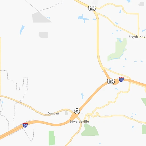
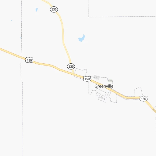
Roadmap (route) to go from Haps Airport to Marion detailed above, you can also see the course layout on the map.
While doing trip Haps (airport) - Marion by car, the calculated route ends at a distance , or more straight.
Distance and duration of the route between Haps (airport) and Marion
Calculation of distance and route from Marion to Haps (airport) :
246.9276.3 km3h16mn
Continue onto Pacific Drive 0h0mn 148 mTurn left onto Bradford Street 0h0mn 239 mTurn left onto Progress Way 0h1mn 852 mTurn left onto US 31 0h3mn 3.8 kmTurn left onto State Road 60 0h1mn 754 mTurn right 2h31mn 153.6 kmKeep right and drive toward Southport Road 0h1mn 594 mKeep right 0h0mn 350 mTurn left onto South Emerson Avenue 0h4mn 4.0 kmKeep right toward I 465 East, I 74 East 0h17mn 22.8 kmKeep right onto SR 37 and take SR 37 North, I 69 North toward Fort Wayne 0h6mn 7.4 kmKeep right onto IN-37 and take SR 37 North toward 116th Street 0h1mn 1.1 kmKeep left onto IN-37 toward SR 37 North 0h1mn 1.1 kmKeep left onto IN-37 toward SR 37 North 0h10mn 13.6 kmContinue onto SR 37 0h5mn 6.3 kmAt roundabout, take exit 2 onto SR 37 1h54mn 58.1 kmTurn right onto West 4th Street 0h1mn 1.5 kmTurn left onto South Adams Street 0h0mn 102 mTurn left onto East 3rd Street 0h0mn 51 mArrive at destination 0h0mn 0 m
Travel from Haps (airport) (Indiana) to a selection of major cities.
Distances from Haps Airport to biggest cities in Indiana
- Columbus,46,690 inhabitants.97 km
- West Lafayette,45,550 inhabitants.253 km
- Portage,36,738 inhabitants.380 km
- Westfield,36,738 inhabitants.192 km
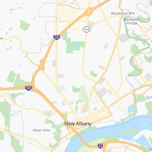
- New Albany,36,732 inhabitants.8 km
- Richmond,35,854 inhabitants.182 km
- Merrillville,35,224 inhabitants.375 km
- Goshen,32,983 inhabitants.361 km
- Valparaiso,32,626 inhabitants.366 km
- Michigan City,31,459 inhabitants.387 km
- Plainfield,30,590 inhabitants.162 km
- Granger,30,465 inhabitants.381 km
- Marion,29,081 inhabitants.247 km
- Crown Point,28,879 inhabitants.369 km
- Schererville,28,791 inhabitants.378 km
- East Chicago,28,699 inhabitants.395 km
- Hobart,28,404 inhabitants.378 km
- Zionsville,26,296 inhabitants.185 km
- Brownsburg,24,996 inhabitants.176 km
- Franklin,24,598 inhabitants.130 km
Other major cities in country :
- Seattle [WA], 684,451 inhabitants. 3,119 km
- Denver [CO], 682,545 inhabitants. 1,666 km
- El Paso [TX], 681,124 inhabitants. 2,020 km
- Detroit [MI], 677,116 inhabitants. 501 km
- Boston [MA], 667,137 inhabitants. 1,323 km
- Memphis [TN], 655,770 inhabitants. 522 km
- New South Memphis [TN], 641,608 inhabitants. 527 km
- Portland [OR], 632,309 inhabitants. 3,130 km
- Oklahoma City [OK], 631,346 inhabitants. 1,093 km
- Las Vegas [NV], 623,747 inhabitants. 2,603 km
- Baltimore [MD], 621,849 inhabitants. 800 km
- Washington, D.C. [DC], 601,723 inhabitants. 761 km
- Milwaukee [WI], 600,155 inhabitants. 554 km
- South Boston [MA], 571,281 inhabitants. 1,323 km
- Albuquerque [NM], 559,121 inhabitants. 1,895 km
- Tucson [AZ], 531,641 inhabitants. 2,378 km
- Nashville [TN], 530,852 inhabitants. 258 km
- Fresno [CA], 520,052 inhabitants. 2,991 km
- Sacramento [CA], 490,712 inhabitants. 3,095 km
- Kansas City [MO], 475,378 inhabitants. 770 km
Route from Marion to major cities (United States).
- Distance Marion New York City984 km
- Distance Marion Los Angeles2,956 km
- Distance Marion Chicago220 km
- Distance Marion Brooklyn989 km
- Distance Marion Houston1,489 km
- Distance Marion Queens998 km
- Distance Marion Philadelphia894 km
- Distance Marion Phoenix2,467 km
- Distance Marion Manhattan987 km
- Distance Marion San Antonio1,701 km
- Distance Marion San Diego2,929 km
- Distance Marion The Bronx995 km
- Distance Marion Dallas1,317 km
- Distance Marion San Jose3,135 km
- Distance Marion Austin1,583 km
- Distance Marion Jacksonville1,194 km
- Distance Marion San Francisco3,165 km
- Distance Marion Columbus236 km
- Distance Marion Fort Worth1,356 km
- Distance Marion Charlotte729 km
Nearest cities to Haps (airport) :
- Columbus, 850,106 inhabitants. 299 km
- Indianapolis, 829,718 inhabitants. 163 km
- Nashville, 530,852 inhabitants. 258 km
- Lexington-Fayette, 314,488 inhabitants. 118 km
- Cincinnati, 296,943 inhabitants. 139 km
- Fort Wayne, 260,326 inhabitants. 316 km
- Louisville, 243,639 inhabitants. 9 km
- Lexington, 225,366 inhabitants. 119 km
- Knoxville, 185,291 inhabitants. 311 km
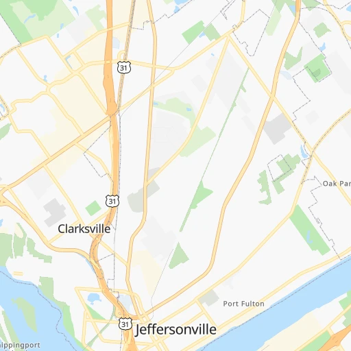
- Clarksville, 149,176 inhabitants. 246 km
- Dayton, 140,599 inhabitants. 208 km
- Murfreesboro, 126,118 inhabitants. 283 km
- Evansville, 119,943 inhabitants. 162 km
- Carmel, 88,713 inhabitants. 185 km
- Champaign, 86,096 inhabitants. 292 km
- Bloomington, 84,067 inhabitants. 114 km
- Fishers, 76,794 inhabitants. 181 km
- Franklin, 72,639 inhabitants. 286 km
- Lafayette, 71,111 inhabitants. 251 km
- Muncie, 70,087 inhabitants. 209 km
- Bowling Green, 63,616 inhabitants. 162 km
- Hamilton, 62,407 inhabitants. 157 km
- Terre Haute, 60,825 inhabitants. 191 km
- Springfield, 59,680 inhabitants. 244 km
- Noblesville, 59,093 inhabitants. 191 km
- Owensboro, 59,042 inhabitants. 134 km
- Kokomo, 57,995 inhabitants. 241 km
- Hendersonville, 56,018 inhabitants. 239 km
- Greenwood, 55,586 inhabitants. 145 km
- Kettering, 55,525 inhabitants. 204 km
- Anderson, 55,305 inhabitants. 197 km
- Middletown, 48,760 inhabitants. 176 km
- Lawrence, 47,809 inhabitants. 169 km
- Jeffersonville, 46,960 inhabitants. 7 km
- Columbus, 46,690 inhabitants. 97 km
- Smyrna, 46,607 inhabitants. 271 km
- Beavercreek, 46,277 inhabitants. 212 km
- West Lafayette, 45,550 inhabitants. 253 km
- Dublin, 45,098 inhabitants. 301 km
- Fairfield, 42,767 inhabitants. 153 km
- Urbana, 42,311 inhabitants. 289 km
- Brentwood, 41,763 inhabitants. 272 km
- Findlay, 41,149 inhabitants. 351 km
- Covington, 40,997 inhabitants. 137 km
- Grove City, 39,388 inhabitants. 287 km
- Westerville, 38,384 inhabitants. 315 km
- Huber Heights, 38,176 inhabitants. 219 km
- Delaware, 37,995 inhabitants. 318 km
- Lima, 37,873 inhabitants. 303 km
- Reynoldsburg, 37,158 inhabitants. 312 km
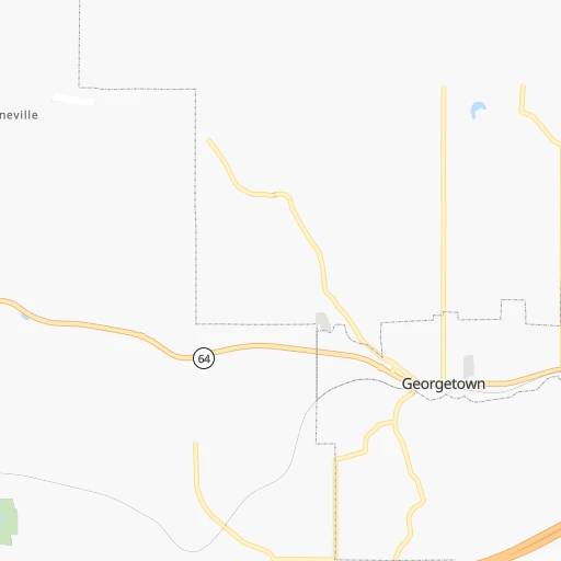
Location Haps (airport) (Indiana) :
| Country flag |  |
| Location | Haps (airport) |
| State | Indiana |
| County | Clark County |
| Country | United States |
| Country code / ISO 2 | US |
| Latitude | 38.3375700 |
| Longitude | -85.7583000 |
| Altitude | 142 meters |
| Time zone | America/Kentucky/Louisville |
Location Marion (Indiana) :
| Country flag | |
| Location | Marion |
| State | Indiana |
| County | Grant County |
| Country | United States |
| Country code / ISO 2 | US |
| Latitude | 40.5583700 |
| Longitude | -85.6591400 |
| Altitude | 247 meters |
| Time zone | America/Indiana/Indianapolis |


