
How to get from Seigfried Halfpap (airport) (Illinois) to Janesville (Wisconsin)
Calculate route from Seigfried Halfpap (airport) (Illinois, United States) to Janesville (Wisconsin, United States).
The flight distance (as the crow flies) between Seigfried Halfpap (airport) and Janesville is 365.4 km.
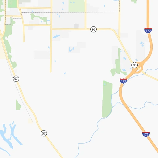
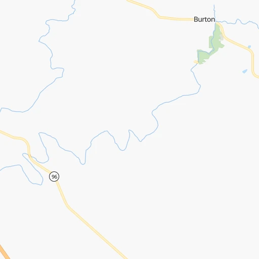
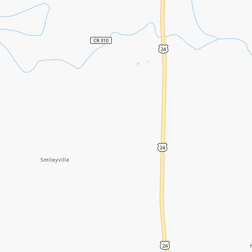
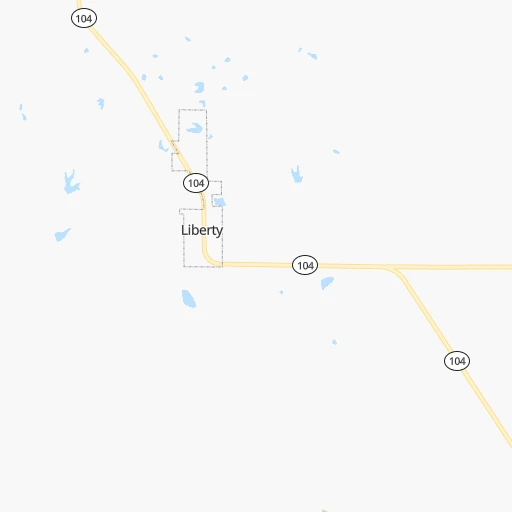
Roadmap (route) to go from Seigfried Halfpap Airport to Janesville detailed above, you can also see the course layout on the map.
While doing trip Seigfried Halfpap (airport) - Janesville by car, the calculated route ends at a distance , or more straight.
Distance and duration of the route between Seigfried Halfpap (airport) and Janesville
Calculation of distance and route from Janesville to Seigfried Halfpap (airport) :
365.4472.4 km5h18mn
Continue onto Chicago-Kansas City Expressway 1h28mn 111.6 kmContinue onto Chicago-Kansas City Expressway 0h0mn 65 mTurn left onto Chicago-Kansas City Expressway 0h19mn 23.6 kmTurn right onto 60th Street 0h5mn 5.7 kmTurn left onto 90 Avenue 0h0mn 74 mKeep right onto US 67 Bus 1h36mn 49.8 kmKeep right onto Chicago-Kansas City Expressway and take I 74 West toward Moline, Rock Island 1h30mn 51.5 kmKeep left onto Chicago-Kansas City Expressway and take I 80 West toward Des Moines 0h6mn 10.1 kmKeep right onto IL 110 and take I 88 East, IL 92 East toward Sterling, Rock Falls 1h53mn 90.4 kmKeep left onto Ronald Reagan Memorial Tollway 0h21mn 36.2 kmKeep right and take I 39 North, US 51 North toward Rockford 1h53mn 89.2 kmKeep right onto WI 11 and take WI 11 East toward Delavan 0h0mn 329 mKeep left 0h0mn 167 mAt roundabout, take exit 3 onto East Racine Street 0h0mn 288 mAt roundabout, take exit 1 onto East Racine Street 0h3mn 2.6 kmTurn sharp right onto South Garfield Avenue 0h0mn 61 mTurn left onto Wells Street 0h1mn 295 mTurn sharp left onto Oakland Avenue 0h0mn 24 mTurn right onto South Atwood Avenue 0h1mn 402 mTurn left onto Saint Lawrence Avenue 0h0mn 139 mTurn right 0h0mn 38 mArrive at destination 0h0mn 0 m
Travel from Seigfried Halfpap (airport) (Wisconsin) to a selection of major cities.
Distances from Seigfried Halfpap Airport to biggest cities in Illinois
- South Lawndale,73,826 inhabitants.374 km
- Logan Square,73,702 inhabitants.380 km
- Decatur,73,254 inhabitants.202 km
- West Ridge,72,211 inhabitants.385 km
- Palatine,69,308 inhabitants.371 km
- Lincoln Park,66,959 inhabitants.383 km
- Portage Park,64,841 inhabitants.378 km
- Skokie,64,821 inhabitants.385 km
- Des Plaines,58,677 inhabitants.375 km
- Orland Park,58,619 inhabitants.351 km
- Tinley Park,57,143 inhabitants.352 km
- Oak Lawn,56,781 inhabitants.362 km
- Irving Park,56,520 inhabitants.379 km
- Berwyn,56,368 inhabitants.369 km
- Chicago Lawn,55,551 inhabitants.371 km
- Uptown,55,137 inhabitants.386 km
- Edgewater,54,873 inhabitants.386 km
- Mount Prospect,54,747 inhabitants.374 km
- Rogers Park,54,402 inhabitants.388 km
- Normal,54,373 inhabitants.210 km
Other major cities in country :
- Seattle [WA], 684,451 inhabitants. 2,617 km
- Denver [CO], 682,545 inhabitants. 1,167 km
- El Paso [TX], 681,124 inhabitants. 1,637 km
- Detroit [MI], 677,116 inhabitants. 745 km
- Boston [MA], 667,137 inhabitants. 1,717 km
- Memphis [TN], 655,770 inhabitants. 539 km
- New South Memphis [TN], 641,608 inhabitants. 546 km
- Portland [OR], 632,309 inhabitants. 2,623 km
- Oklahoma City [OK], 631,346 inhabitants. 734 km
- Las Vegas [NV], 623,747 inhabitants. 2,122 km
- Baltimore [MD], 621,849 inhabitants. 1,262 km
- Washington, D.C. [DC], 601,723 inhabitants. 1,233 km
- Milwaukee [WI], 600,155 inhabitants. 452 km
- South Boston [MA], 571,281 inhabitants. 1,718 km
- Albuquerque [NM], 559,121 inhabitants. 1,453 km
- Tucson [AZ], 531,641 inhabitants. 1,954 km
- Nashville [TN], 530,852 inhabitants. 574 km
- Fresno [CA], 520,052 inhabitants. 2,499 km
- Sacramento [CA], 490,712 inhabitants. 2,593 km
- Kansas City [MO], 475,378 inhabitants. 293 km
Route from Janesville to major cities (United States).
- Distance Janesville New York City1,265 km
- Distance Janesville Los Angeles2,709 km
- Distance Janesville Chicago146 km
- Distance Janesville Brooklyn1,272 km
- Distance Janesville Houston1,546 km
- Distance Janesville Queens1,280 km
- Distance Janesville Philadelphia1,196 km
- Distance Janesville Phoenix2,257 km
- Distance Janesville Manhattan1,266 km
- Distance Janesville San Antonio1,702 km
- Distance Janesville San Diego2,699 km
- Distance Janesville The Bronx1,273 km
- Distance Janesville Dallas1,297 km
- Distance Janesville San Jose2,847 km
- Distance Janesville Austin1,585 km
- Distance Janesville Jacksonville1,523 km
- Distance Janesville San Francisco2,871 km
- Distance Janesville Columbus587 km
- Distance Janesville Fort Worth1,326 km
- Distance Janesville Indianapolis403 km
Nearest cities to Seigfried Halfpap (airport) :
- St. Louis, 315,685 inhabitants. 170 km
- Des Moines, 210,330 inhabitants. 271 km
- Springfield, 166,810 inhabitants. 344 km
- Rockford, 148,278 inhabitants. 325 km
- Cedar Rapids, 130,405 inhabitants. 238 km
- Columbia, 119,108 inhabitants. 136 km
- Springfield, 116,565 inhabitants. 144 km
- Peoria, 115,070 inhabitants. 172 km
- North Peoria, 113,004 inhabitants. 174 km
- Davenport, 102,582 inhabitants. 193 km
- O'Fallon, 85,040 inhabitants. 131 km
- Bloomington, 78,292 inhabitants. 209 km
- Iowa City, 74,220 inhabitants. 198 km
- Decatur, 73,254 inhabitants. 202 km
- Waterloo, 68,460 inhabitants. 303 km
- Saint Charles, 65,794 inhabitants. 142 km
- Ames, 65,060 inhabitants. 307 km
- Janesville, 64,123 inhabitants. 366 km
- West Des Moines, 64,113 inhabitants. 276 km
- Dubuque, 58,799 inhabitants. 296 km
- Ankeny, 56,764 inhabitants. 281 km
- Normal, 54,373 inhabitants. 210 km
- Blue Springs, 54,148 inhabitants. 272 km
- Saint Peters, 52,575 inhabitants. 135 km
- Florissant, 52,268 inhabitants. 149 km
- Chesterfield, 47,864 inhabitants. 150 km
- Urbandale, 44,062 inhabitants. 280 km
- DeKalb, 43,211 inhabitants. 314 km
- Jefferson City, 43,169 inhabitants. 163 km
- Moline, 42,681 inhabitants. 193 km
- Belleville, 42,034 inhabitants. 191 km
- Cedar Falls, 41,255 inhabitants. 309 km
- Quincy, 40,780 inhabitants. 9 km
- Cape Girardeau, 39,462 inhabitants. 327 km
- Rock Island, 38,620 inhabitants. 191 km
- Marion, 37,330 inhabitants. 240 km
- Beloit, 36,891 inhabitants. 349 km
- Oakville, 36,143 inhabitants. 180 km
- Wildwood, 35,899 inhabitants. 156 km
- Wentzville, 35,603 inhabitants. 126 km
- Bettendorf, 35,505 inhabitants. 195 km
- University City, 35,058 inhabitants. 162 km
- Oswego, 33,955 inhabitants. 320 km
- Pekin, 33,223 inhabitants. 162 km
- Galesburg, 31,273 inhabitants. 143 km
- Ballwin, 30,577 inhabitants. 158 km
- Upper Alton, 29,251 inhabitants. 148 km
- Granite City, 29,054 inhabitants. 166 km
- Lake in the Hills, 29,024 inhabitants. 358 km
- O'Fallon, 29,002 inhabitants. 188 km
Location Seigfried Halfpap (airport) (Illinois) :
| Country flag |  |
| Location | Seigfried Halfpap (airport) |
| State | Illinois |
| County | Adams County |
| Country | United States |
| Country code / ISO 2 | US |
| Latitude | 39.8861600 |
| Longitude | -91.3207000 |
| Altitude | 162 meters |
| Time zone | America/Chicago |
Location Janesville (Wisconsin) :
| Country flag | |
| Location | Janesville |
| State | Wisconsin |
| County | Rock County |
| Country | United States |
| Country code / ISO 2 | US |
| Latitude | 42.6827900 |
| Longitude | -89.0187200 |
| Altitude | 255 meters |
| Time zone | America/Chicago |

