
How to get from Durbin (airport) (Illinois) to Bowling Green (Kentucky)
Calculate route from Durbin (airport) (Illinois, United States) to Bowling Green (Kentucky, United States).
The flight distance (as the crow flies) between Durbin (airport) and Bowling Green is 349.6 km.
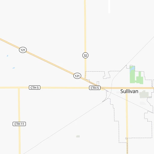
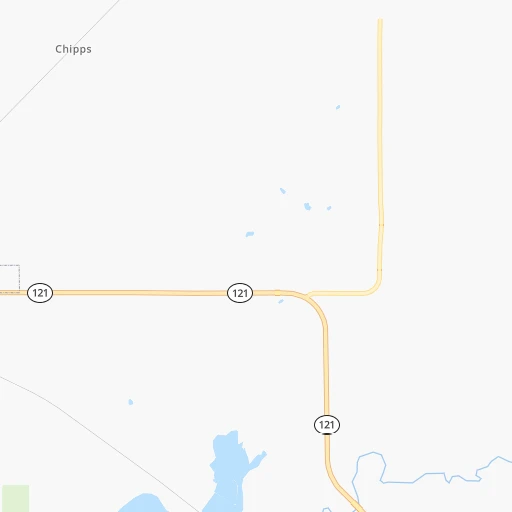
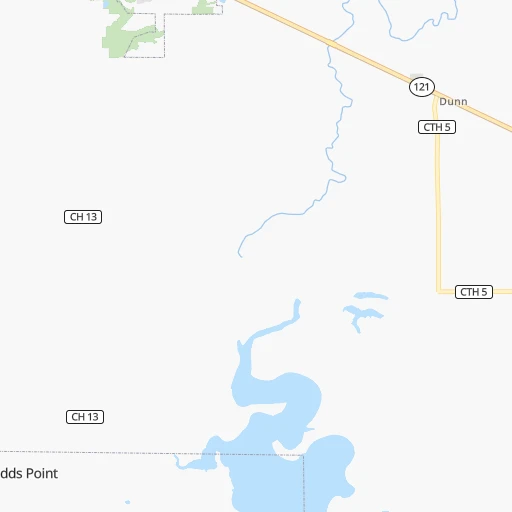
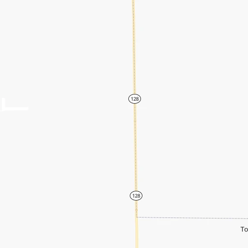
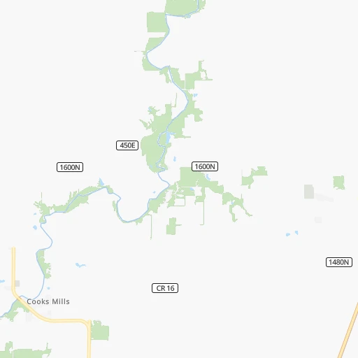
Roadmap (route) to go from Durbin Airport to Bowling Green detailed above, you can also see the course layout on the map.
While doing trip Durbin (airport) - Bowling Green by car, the calculated route ends at a distance , or more straight.
Distance and duration of the route between Durbin (airport) and Bowling Green
Calculation of distance and route from Bowling Green to Durbin (airport) :
349.6421.0 km5h29mn
Continue 0h7mn 3.3 kmTurn left onto IL 32, IL 121 0h1mn 798 mTurn right onto North Hamilton Street and take IL 32 South toward Effingham 0h19mn 18.6 kmKeep right 0h0mn 43 mContinue onto 2900 East 0h4mn 4.1 kmTurn left onto Route 32 0h27mn 26.8 kmKeep left 0h0mn 27 mTurn left onto County Road 1850 0h8mn 7.7 kmTurn left onto West Fayette Avenue 0h2mn 1.6 kmTurn right onto South Willow Street 1h34mn 37.2 kmTurn right onto South Van Buren Street 1h56mn 71.8 kmTurn left onto East Walnut Street 0h1mn 530 mTurn right onto South 1st Street 0h13mn 12.8 kmKeep right 0h0mn 37 mTurn slight right onto North Court Street 0h4mn 4.8 kmTurn right 0h5mn 8.9 kmKeep right and take SR 69 South toward New Harmony, Mount Vernon, Griffin 0h0mn 516 mTurn right onto SR 69 0h7mn 8.6 kmTurn left onto State Highway 66 0h23mn 31.6 kmTurn right onto Mesker Park Drive 0h2mn 2.1 kmTurn right onto St Joseph Avenue 0h1mn 1.2 kmTurn left onto West Lloyd Expressway 0h1mn 1.4 kmKeep right 0h0mn 308 mTurn right onto South Fulton Avenue 0h1mn 1.7 kmContinue onto Veterans Memorial Parkway 0h2mn 2.8 kmKeep right and take US 41 toward Henderson, Kentucky, Vincennes 0h0mn 289 mKeep right and take US 41 South toward Henderson, Kentucky 0h12mn 15.2 kmKeep right and drive toward Owensboro 0h23mn 38.3 kmKeep right and take US 60 East toward Hawesville 0h7mn 10.6 kmKeep right and take I 165 South toward Bowling Green 1h60mn 101.1 kmKeep right 0h0mn 269 mTurn left onto Morgantown Road 0h3mn 2.8 kmTurn left onto Old Morgantown Road 0h3mn 1.6 kmTurn left onto University Boulevard 0h1mn 920 mTurn right onto East 12th Avenue 0h0mn 143 mTurn left onto Center Street 0h0mn 65 mTurn right onto East 12th Avenue 0h1mn 294 mTurn left onto State Street 0h0mn 124 mTurn right 0h0mn 19 mTurn right 0h0mn 37 mArrive at destination 0h0mn 0 m
Travel from Durbin (airport) (Kentucky) to a selection of major cities.
Distances from Durbin Airport to biggest cities in Illinois
- South Lawndale,73,826 inhabitants.258 km
- Logan Square,73,702 inhabitants.267 km
- Decatur,73,254 inhabitants.37 km
- West Ridge,72,211 inhabitants.275 km
- Palatine,69,308 inhabitants.281 km
- Lincoln Park,66,959 inhabitants.268 km
- Portage Park,64,841 inhabitants.269 km
- Skokie,64,821 inhabitants.278 km
- Des Plaines,58,677 inhabitants.275 km
- Orland Park,58,619 inhabitants.232 km
- Tinley Park,57,143 inhabitants.228 km
- Oak Lawn,56,781 inhabitants.243 km
- Irving Park,56,520 inhabitants.269 km
- Berwyn,56,368 inhabitants.257 km
- Chicago Lawn,55,551 inhabitants.251 km
- Uptown,55,137 inhabitants.273 km
- Edgewater,54,873 inhabitants.274 km
- Mount Prospect,54,747 inhabitants.277 km
- Rogers Park,54,402 inhabitants.277 km
- Normal,54,373 inhabitants.103 km
Other major cities in country :
- Seattle [WA], 684,451 inhabitants. 2,832 km
- Denver [CO], 682,545 inhabitants. 1,400 km
- El Paso [TX], 681,124 inhabitants. 1,832 km
- Detroit [MI], 677,116 inhabitants. 557 km
- Boston [MA], 667,137 inhabitants. 1,504 km
- Memphis [TN], 655,770 inhabitants. 514 km
- New South Memphis [TN], 641,608 inhabitants. 521 km
- Portland [OR], 632,309 inhabitants. 2,844 km
- Oklahoma City [OK], 631,346 inhabitants. 911 km
- Las Vegas [NV], 623,747 inhabitants. 2,352 km
- Baltimore [MD], 621,849 inhabitants. 1,032 km
- Washington, D.C. [DC], 601,723 inhabitants. 1,001 km
- Milwaukee [WI], 600,155 inhabitants. 384 km
- South Boston [MA], 571,281 inhabitants. 1,504 km
- Albuquerque [NM], 559,121 inhabitants. 1,670 km
- Tucson [AZ], 531,641 inhabitants. 2,166 km
- Nashville [TN], 530,852 inhabitants. 418 km
- Fresno [CA], 520,052 inhabitants. 2,730 km
- Sacramento [CA], 490,712 inhabitants. 2,826 km
- Kansas City [MO], 475,378 inhabitants. 516 km
Route from Bowling Green to major cities (United States).
- Distance Bowling Green New York City1,154 km
- Distance Bowling Green Los Angeles2,886 km
- Distance Bowling Green Chicago551 km
- Distance Bowling Green Brooklyn1,156 km
- Distance Bowling Green Houston1,154 km
- Distance Bowling Green Queens1,167 km
- Distance Bowling Green Philadelphia1,036 km
- Distance Bowling Green Phoenix2,357 km
- Distance Bowling Green Manhattan1,159 km
- Distance Bowling Green San Antonio1,401 km
- Distance Bowling Green San Diego2,834 km
- Distance Bowling Green The Bronx1,170 km
- Distance Bowling Green Dallas1,055 km
- Distance Bowling Green San Jose3,126 km
- Distance Bowling Green Austin1,286 km
- Distance Bowling Green Jacksonville863 km
- Distance Bowling Green San Francisco3,164 km
- Distance Bowling Green Columbus447 km
- Distance Bowling Green Fort Worth1,100 km
- Distance Bowling Green Indianapolis310 km
Nearest cities to Durbin (airport) :
- Chicago, 2,720,546 inhabitants. 260 km
- Indianapolis, 829,718 inhabitants. 212 km
- St. Louis, 315,685 inhabitants. 176 km
- Louisville, 243,639 inhabitants. 292 km
- Aurora, 200,661 inhabitants. 239 km
- Rockford, 148,278 inhabitants. 297 km
- Joliet, 147,861 inhabitants. 216 km
- Naperville, 147,100 inhabitants. 243 km
- Evansville, 119,943 inhabitants. 206 km
- Springfield, 116,565 inhabitants. 89 km
- Peoria, 115,070 inhabitants. 144 km
- North Peoria, 113,004 inhabitants. 146 km
- Elgin, 112,111 inhabitants. 270 km
- Davenport, 102,582 inhabitants. 268 km
- South Bend, 101,516 inhabitants. 304 km
- Kenosha, 99,858 inhabitants. 336 km
- Carmel, 88,713 inhabitants. 218 km
- Waukegan, 88,475 inhabitants. 311 km
- West Town, 86,429 inhabitants. 264 km
- Champaign, 86,096 inhabitants. 63 km
- Near North Side, 85,711 inhabitants. 266 km
- O'Fallon, 85,040 inhabitants. 201 km
- Bloomington, 84,067 inhabitants. 188 km
- Cicero, 83,886 inhabitants. 257 km
- Belmont Cragin, 79,159 inhabitants. 266 km
- Bloomington, 78,292 inhabitants. 100 km
- Hammond, 77,614 inhabitants. 237 km
- Gary, 77,156 inhabitants. 244 km
- Fishers, 76,794 inhabitants. 226 km
- Arlington Heights, 75,926 inhabitants. 279 km
- Evanston, 75,527 inhabitants. 280 km
- Schaumburg, 74,693 inhabitants. 271 km
- Bolingbrook, 74,306 inhabitants. 235 km
- Iowa City, 74,220 inhabitants. 334 km
- South Lawndale, 73,826 inhabitants. 258 km
- Logan Square, 73,702 inhabitants. 267 km
- Decatur, 73,254 inhabitants. 37 km
- West Ridge, 72,211 inhabitants. 275 km
- Lafayette, 71,111 inhabitants. 173 km
- Palatine, 69,308 inhabitants. 281 km
- Lincoln Park, 66,959 inhabitants. 268 km
- Saint Charles, 65,794 inhabitants. 186 km
- Portage Park, 64,841 inhabitants. 269 km
- Skokie, 64,821 inhabitants. 278 km
- Bowling Green, 63,616 inhabitants. 350 km
- Terre Haute, 60,825 inhabitants. 106 km
- Noblesville, 59,093 inhabitants. 228 km
- Owensboro, 59,042 inhabitants. 245 km
- Dubuque, 58,799 inhabitants. 362 km
- Des Plaines, 58,677 inhabitants. 275 km
Location Durbin (airport) (Illinois) :
| Country flag |  |
| Location | Durbin (airport) |
| State | Illinois |
| County | Moultrie County |
| Country | United States |
| Country code / ISO 2 | US |
| Latitude | 39.6301900 |
| Longitude | -88.6246200 |
| Altitude | 204 meters |
| Time zone | America/Chicago |
Location Bowling Green (Kentucky) :
| Country flag | |
| Location | Bowling Green |
| State | Kentucky |
| County | Warren County |
| Country | United States |
| Country code / ISO 2 | US |
| Latitude | 36.9903200 |
| Longitude | -86.4436000 |
| Altitude | 161 meters |
| Time zone | America/Chicago |


