


How to get from Centralia Municipal (airport) (Illinois) to Moline (Illinois)
Calculate route from Centralia Municipal (airport) (Illinois, United States) to Moline (Illinois, United States).
The flight distance (as the crow flies) between Centralia Municipal (airport) and Moline is 353.8 km.
Roadmap (route) to go from Centralia Municipal Airport to Moline detailed above, you can also see the course layout on the map.
While doing trip Centralia Municipal (airport) - Moline by car, the calculated route ends at a distance , or more straight.
Distance and duration of the route between Centralia Municipal (airport) and Moline
Calculation of distance and route from Moline to Centralia Municipal (airport) :
353.8429.5 km5h16mn
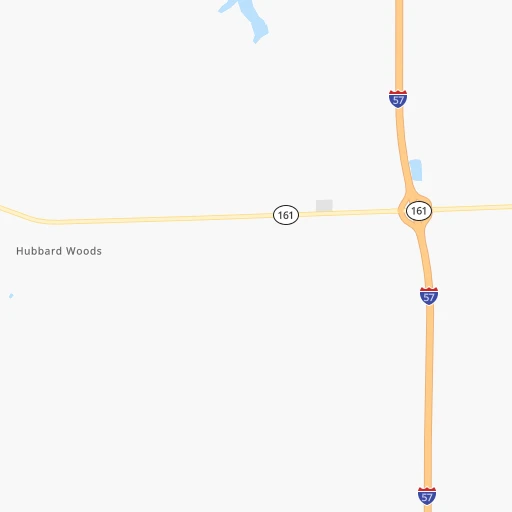
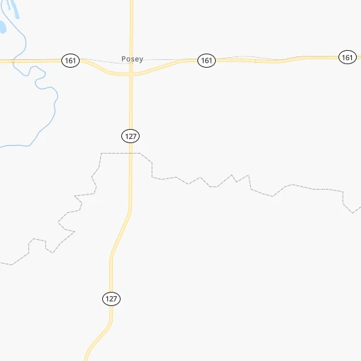
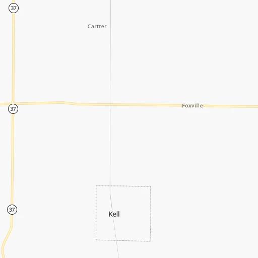
Continue onto Woods Lane 0h2mn 1.2 kmTurn right onto Copple Road 0h2mn 808 mTurn right onto Airport Road 0h2mn 2.4 kmTurn left onto East McCord Street 0h4mn 3.0 kmTurn right onto North Elm Street 1h43mn 49.4 kmTurn left onto US 40, US 51, IL 185 0h1mn 731 mTurn right onto North Kennedy Boulevard 0h2mn 2.5 kmTurn slight right onto County Road 875 East 1h41mn 46.4 kmTurn slight right onto South Poplar Street 0h0mn 511 mTurn left onto West 2nd Street 0h1mn 592 mTurn right onto South State Street 0h1mn 331 mTurn left onto West Washington Street 0h24mn 25.9 kmTurn right onto North Webster Street 0h27mn 37.5 kmKeep right toward I 55 North, I 72 East 0h30mn 49.0 kmKeep left onto I 155 and take I 155 North toward Peoria, Hartsburg 1h31mn 51.5 kmKeep left and take I 74 West toward Peoria 0h2mn 3.1 kmKeep right onto I 74 and take I 74 West toward Peoria 0h8mn 12.4 kmKeep right and drive toward University Street 0h0mn 468 mKeep right 0h1mn 715 mTurn left onto North Gale Avenue 0h1mn 824 mKeep right 1h3mn 106.3 kmKeep right and take IL 81 toward Kewanee, Cambridge 0h0mn 544 mTurn left onto IL 81 0h3mn 3.8 kmTurn right onto US 150 0h20mn 21.6 kmTurn left onto 69th Avenue 0h1mn 698 mKeep right onto US 6 0h4mn 5.8 kmKeep right 0h1mn 593 mKeep left 0h0mn 38 mTurn sharp left onto 7th Avenue 0h1mn 530 mTurn right onto 16th Street 0h0mn 214 mTurn left onto 5th Avenue 0h0mn 10 mArrive at destination 0h0mn 0 m
Travel from Centralia Municipal (airport) (Illinois) to a selection of major cities.
Distances from Centralia Municipal Airport to biggest cities in Illinois
- South Lawndale,73,826 inhabitants.389 km
- Logan Square,73,702 inhabitants.397 km
- Decatur,73,254 inhabitants.148 km
- West Ridge,72,211 inhabitants.406 km
- Palatine,69,308 inhabitants.410 km
- Lincoln Park,66,959 inhabitants.399 km
- Portage Park,64,841 inhabitants.400 km
- Skokie,64,821 inhabitants.408 km
- Des Plaines,58,677 inhabitants.405 km
- Orland Park,58,619 inhabitants.362 km
- Tinley Park,57,143 inhabitants.358 km
- Oak Lawn,56,781 inhabitants.373 km
- Irving Park,56,520 inhabitants.400 km
- Berwyn,56,368 inhabitants.387 km
- Chicago Lawn,55,551 inhabitants.382 km
- Uptown,55,137 inhabitants.403 km
- Edgewater,54,873 inhabitants.405 km
- Mount Prospect,54,747 inhabitants.407 km
- Rogers Park,54,402 inhabitants.407 km
- Normal,54,373 inhabitants.223 km
Other major cities in country :
- Seattle [WA], 684,451 inhabitants. 2,860 km
- Denver [CO], 682,545 inhabitants. 1,377 km
- El Paso [TX], 681,124 inhabitants. 1,749 km
- Detroit [MI], 677,116 inhabitants. 665 km
- Boston [MA], 667,137 inhabitants. 1,583 km
- Memphis [TN], 655,770 inhabitants. 384 km
- New South Memphis [TN], 641,608 inhabitants. 391 km
- Portland [OR], 632,309 inhabitants. 2,862 km
- Oklahoma City [OK], 631,346 inhabitants. 822 km
- Las Vegas [NV], 623,747 inhabitants. 2,312 km
- Baltimore [MD], 621,849 inhabitants. 1,084 km
- Washington, D.C. [DC], 601,723 inhabitants. 1,047 km
- Milwaukee [WI], 600,155 inhabitants. 513 km
- South Boston [MA], 571,281 inhabitants. 1,584 km
- Albuquerque [NM], 559,121 inhabitants. 1,608 km
- Tucson [AZ], 531,641 inhabitants. 2,096 km
- Nashville [TN], 530,852 inhabitants. 332 km
- Fresno [CA], 520,052 inhabitants. 2,699 km
- Sacramento [CA], 490,712 inhabitants. 2,806 km
- Kansas City [MO], 475,378 inhabitants. 480 km
Route from Moline to major cities (United States).
- Distance Moline New York City1,385 km
- Distance Moline Los Angeles2,564 km
- Distance Moline Brooklyn1,391 km
- Distance Moline Houston1,378 km
- Distance Moline Queens1,400 km
- Distance Moline Philadelphia1,305 km
- Distance Moline Phoenix2,098 km
- Distance Moline Manhattan1,387 km
- Distance Moline San Antonio1,526 km
- Distance Moline San Diego2,547 km
- Distance Moline The Bronx1,395 km
- Distance Moline Dallas1,119 km
- Distance Moline San Jose2,723 km
- Distance Moline Austin1,409 km
- Distance Moline Jacksonville1,476 km
- Distance Moline San Francisco2,750 km
- Distance Moline Columbus657 km
- Distance Moline Fort Worth1,148 km
- Distance Moline Indianapolis416 km
- Distance Moline Charlotte1,095 km
Nearest cities to Centralia Municipal (airport) :
- Indianapolis, 829,718 inhabitants. 289 km
- Nashville, 530,852 inhabitants. 332 km
- St. Louis, 315,685 inhabitants. 97 km
- Clarksville, 149,176 inhabitants. 269 km
- Murfreesboro, 126,118 inhabitants. 382 km
- Evansville, 119,943 inhabitants. 147 km
- Springfield, 116,565 inhabitants. 151 km
- Peoria, 115,070 inhabitants. 246 km
- North Peoria, 113,004 inhabitants. 249 km
- Carmel, 88,713 inhabitants. 304 km
- Champaign, 86,096 inhabitants. 193 km
- O'Fallon, 85,040 inhabitants. 144 km
- Bloomington, 84,067 inhabitants. 234 km
- Bloomington, 78,292 inhabitants. 219 km
- Jonesboro, 73,907 inhabitants. 330 km
- Decatur, 73,254 inhabitants. 148 km
- Franklin, 72,639 inhabitants. 349 km
- Lafayette, 71,111 inhabitants. 285 km
- Jackson, 66,975 inhabitants. 324 km
- Saint Charles, 65,794 inhabitants. 124 km
- Bowling Green, 63,616 inhabitants. 288 km
- Terre Haute, 60,825 inhabitants. 180 km
- Owensboro, 59,042 inhabitants. 192 km
- Kokomo, 57,995 inhabitants. 336 km
- Hendersonville, 56,018 inhabitants. 329 km
- Greenwood, 55,586 inhabitants. 286 km
- Normal, 54,373 inhabitants. 223 km
- Saint Peters, 52,575 inhabitants. 137 km
- Florissant, 52,268 inhabitants. 111 km
- Chesterfield, 47,864 inhabitants. 130 km
- Smyrna, 46,607 inhabitants. 363 km
- West Lafayette, 45,550 inhabitants. 284 km
- Moline, 42,681 inhabitants. 354 km
- Urbana, 42,311 inhabitants. 193 km
- Belleville, 42,034 inhabitants. 78 km
- Brentwood, 41,763 inhabitants. 344 km
- Quincy, 40,780 inhabitants. 255 km
- Cape Girardeau, 39,462 inhabitants. 140 km
- Rock Island, 38,620 inhabitants. 357 km
- Columbia, 36,800 inhabitants. 371 km
- Westfield, 36,738 inhabitants. 307 km
- Oakville, 36,143 inhabitants. 106 km
- Spring Hill, 36,055 inhabitants. 363 km
- Wildwood, 35,899 inhabitants. 137 km
- Wentzville, 35,603 inhabitants. 157 km
- Merrillville, 35,224 inhabitants. 363 km
- University City, 35,058 inhabitants. 107 km
- La Vergne, 34,794 inhabitants. 356 km
- Gallatin, 34,334 inhabitants. 333 km
- Pekin, 33,223 inhabitants. 233 km
Location Centralia Municipal (airport) (Illinois) :
| Country flag |  |
| Location | Centralia Municipal (airport) |
| State | Illinois |
| County | Marion County |
| Country | United States |
| Country code / ISO 2 | US |
| Latitude | 38.5147700 |
| Longitude | -89.0920100 |
| Altitude | 159 meters |
| Time zone | America/Chicago |
Location Moline (Illinois) :
| Country flag | |
| Location | Moline |
| State | Illinois |
| County | Rock Island County |
| Country | United States |
| Country code / ISO 2 | US |
| Latitude | 41.5067000 |
| Longitude | -90.5151300 |
| Altitude | 176 meters |
| Time zone | America/Chicago |


