


How to get from Southern Ag Aviation (Georgia) to Brooklyn (New York)
Calculate route from Southern Ag Aviation (Georgia, United States) to Brooklyn (New York, United States).
The flight distance (as the crow flies) between Southern Ag Aviation and Brooklyn is 1,157.2 km.
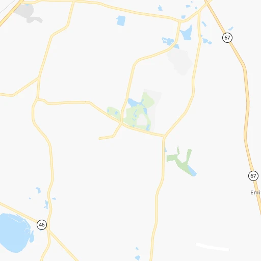
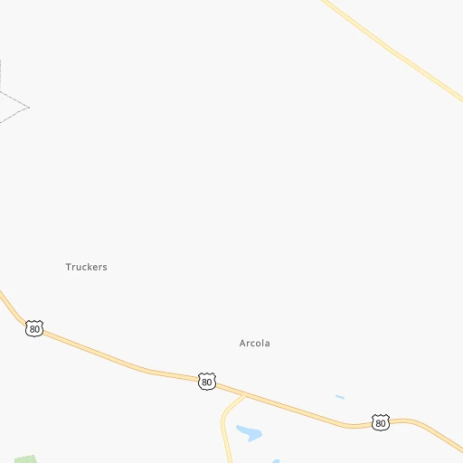
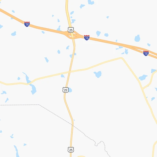
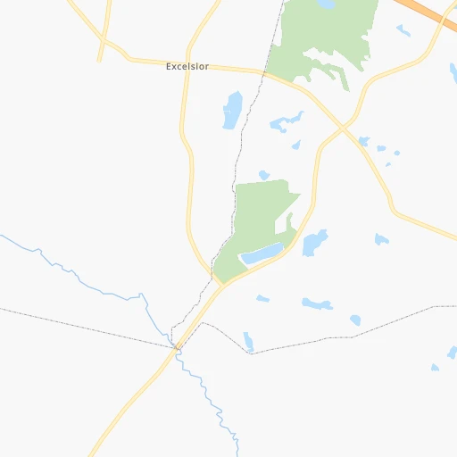
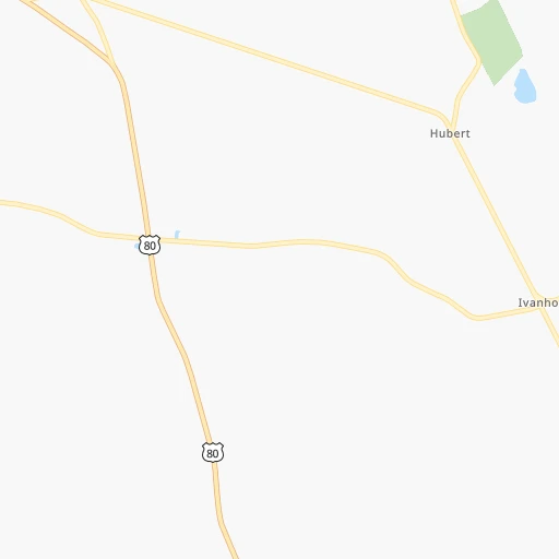
Roadmap (route) to go from Southern Ag Aviation to Brooklyn detailed above, you can also see the course layout on the map.
While doing trip Southern Ag Aviation - Brooklyn by car, the calculated route ends at a distance , or more straight.
Distance and duration of the route between Southern Ag Aviation and Brooklyn
Calculation of distance and route from Brooklyn to Southern Ag Aviation :
1,157.21,313.8 km15h45mn
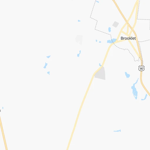
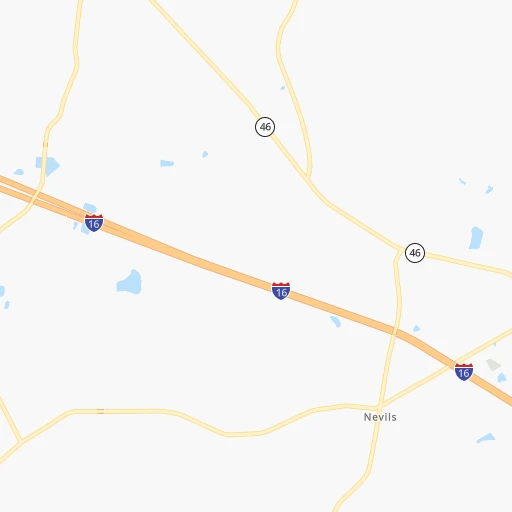
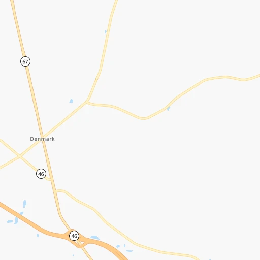
Continue onto Kevin Deal Road 0h4mn 2.2 kmTurn right onto Harville Road 0h8mn 6.9 kmTurn left onto GA 67 0h1mn 1.3 kmTurn right onto Veterans Memorial Parkway 0h6mn 7.1 kmKeep right 0h0mn 194 mTurn slight right onto US 301, GA 73 0h27mn 31.5 kmTurn right onto West Ogeechee Street 0h4mn 4.5 kmContinue onto North Main Street 2h31mn 120.0 kmKeep right onto John C Calhoun Drive 0h24mn 34.4 kmTurn left 5h21mn 531.4 kmKeep left onto I 95 and take I 95 North toward Petersburg, Richmond 1h33mn 47.5 kmKeep right and take US 1, US 301 toward Chamberlayne Avenue 0h0mn 265 mTurn right onto Chamberlayne Avenue 0h1mn 406 mTurn left onto Mitchell Street 0h0mn 10 mTurn right onto Chamberlayne Avenue 0h8mn 6.6 kmKeep left and take I 95 North toward Ashland, Washington 1h49mn 80.6 kmKeep right onto I 95, US 17 0h2mn 2.6 kmKeep left 0h22mn 34.9 kmKeep left and drive toward E-ZPass Express 0h0mn 283 mContinue onto 95 Express Lanes 0h24mn 38.1 kmKeep right onto 395 Express Lanes 0h2mn 2.7 kmKeep left and take US 1 North toward 14th Street, National Mall 0h1mn 1.2 kmTurn right onto C Street Southwest 0h0mn 324 mTurn left onto 12th Street Southwest 0h0mn 178 mTurn right onto Independence Avenue Southwest 0h2mn 1.9 kmTurn left onto 1st Street Southeast 0h0mn 384 mTurn right onto Maryland Avenue Northeast 0h0mn 178 mTurn right onto Constitution Avenue Northeast 0h1mn 498 mKeep left onto US 1 ALT 0h0mn 99 mKeep right onto Maryland Avenue Northeast 0h1mn 1.5 kmKeep left onto Bladensburg Road Northeast 0h2mn 2.1 kmTurn right onto New York Avenue Northeast 0h2mn 3.0 kmKeep left onto Baltimore-Washington Parkway and drive toward Baltimore 1h34mn 44.3 kmKeep right and take I 895 North toward Baltimore Harbor Tunnel Thruway 0h12mn 15.5 kmKeep left onto Express Toll Lanes 0h8mn 12.9 kmKeep left 1h43mn 67.0 kmContinue onto Delaware Turnpike and drive toward EZ-Pass Only 0h10mn 16.0 kmKeep right onto Delaware Turnpike and take I 295, NJTP toward Delaware Memorial Bridge, New York, New Jersey 0h1mn 1.7 kmKeep left and take US 13 North toward Wilmington 0h1mn 1.2 kmKeep right and take I 295 North toward Delware Memorial Bridge, New York, New Jersey 0h6mn 7.5 kmKeep left onto New Jersey Turnpike and drive toward NJ Turnpike, Atlantic City 0h3mn 4.0 kmKeep left 1h48mn 75.7 kmKeep right onto New Jersey Turnpike 1h39mn 61.8 kmKeep right and take I 287 North, NJ 440 North toward Metuchen, Perth Amboy 0h1mn 1.0 kmKeep left and take I 287 North, CR 514 East, NJ 440 North toward Metuchen, Woodbridge, Perth Amboy, Outerbridge Crossing 0h0mn 456 mKeep right and take NJ 440 North toward Staten Island, Outerbridge Crossing 0h6mn 8.8 kmKeep right onto NY 440 0h0mn 195 mKeep left onto NY 440 0h1mn 620 mKeep left onto Korean War Veterans Parkway 0h5mn 5.8 kmKeep right and drive toward Richmond Avenue South 0h1mn 571 mContinue onto Wainwright Avenue 0h0mn 213 mTurn left onto Richmond Avenue 0h0mn 91 mTurn sharp right onto Arthur Kill Road 0h3mn 2.5 kmTurn right onto Richmond Road 0h2mn 1.7 kmKeep right onto Morley Avenue 0h0mn 167 mKeep right onto Morley Avenue 0h0mn 48 mTurn slight right onto Richmond Road 0h0mn 337 mTurn left onto Richmond Road 0h6mn 3.9 kmKeep right onto West Fingerboard Road 0h1mn 903 mContinue onto West Fingerboard Road 0h0mn 166 mTurn left onto Windermere Road 0h0mn 46 mTurn right onto Windermere Road 0h1mn 484 mTurn right onto Hylan Boulevard 0h0mn 284 mTurn left onto Fingerboard Road 0h1mn 398 mTurn right onto Narrows Road South 0h0mn 70 mKeep left and take I 278 Toll East toward Verrazano Narrows Bridge, Brooklyn 0h0mn 464 mKeep left and take I 278 East toward Verrazzano-Narrows Bridge Upper Level 0h0mn 256 mKeep right onto Staten Island Expressway 0h3mn 3.9 kmKeep right toward I 278 East 0h0mn 324 mKeep right and drive toward Fort Hamilton Parkway 0h0mn 253 mKeep right and drive toward Fort Hamilton Parkway 0h0mn 44 mTurn slight right onto Fort Hamilton Parkway 0h3mn 3.2 kmTurn right onto 39th Street 0h1mn 691 mTurn left onto 14th Avenue 0h4mn 3.3 kmTurn right onto Nostrand Avenue 0h0mn 78 mArrive at destination 0h0mn 0 m
Travel from Southern Ag Aviation (New York) to a selection of major cities.
Distances from Southern Ag Aviation to biggest cities in Georgia
- Gainesville,38,712 inhabitants.292 km
- Milton,37,547 inhabitants.310 km
- Newnan,37,291 inhabitants.308 km
- Mableton,37,115 inhabitants.311 km
- Rome,36,323 inhabitants.383 km
- Martinez,35,795 inhabitants.136 km
- East Point,35,467 inhabitants.292 km
- Peachtree City,35,240 inhabitants.291 km
- Dalton,33,853 inhabitants.403 km
- Kennesaw,33,584 inhabitants.326 km
- Hinesville,33,398 inhabitants.56 km
- Redan,33,015 inhabitants.272 km
- Douglasville,32,897 inhabitants.321 km
- Statesboro,30,721 inhabitants.14 km
- Lawrenceville,30,493 inhabitants.276 km
- Woodstock,29,898 inhabitants.324 km
- LaGrange,29,588 inhabitants.317 km
- Duluth,29,193 inhabitants.290 km
- Evans,29,011 inhabitants.139 km
- Chamblee,28,244 inhabitants.294 km
Other major cities in country :
- Charlotte [NC], 827,097 inhabitants. 334 km
- Seattle [WA], 684,451 inhabitants. 3,800 km
- Denver [CO], 682,545 inhabitants. 2,240 km
- El Paso [TX], 681,124 inhabitants. 2,329 km
- Detroit [MI], 677,116 inhabitants. 1,119 km
- Boston [MA], 667,137 inhabitants. 1,461 km
- Memphis [TN], 655,770 inhabitants. 829 km
- New South Memphis [TN], 641,608 inhabitants. 827 km
- Portland [OR], 632,309 inhabitants. 3,786 km
- Oklahoma City [OK], 631,346 inhabitants. 1,496 km
- Las Vegas [NV], 623,747 inhabitants. 3,086 km
- Baltimore [MD], 621,849 inhabitants. 903 km
- Washington, D.C. [DC], 601,723 inhabitants. 846 km
- Milwaukee [WI], 600,155 inhabitants. 1,309 km
- South Boston [MA], 571,281 inhabitants. 1,460 km
- Albuquerque [NM], 559,121 inhabitants. 2,319 km
- Tucson [AZ], 531,641 inhabitants. 2,737 km
- Nashville [TN], 530,852 inhabitants. 629 km
- Fresno [CA], 520,052 inhabitants. 3,497 km
- Sacramento [CA], 490,712 inhabitants. 3,641 km
Route from Brooklyn to major cities (United States).
- Distance Brooklyn Los Angeles3,945 km
- Distance Brooklyn Chicago1,153 km
- Distance Brooklyn Houston2,285 km
- Distance Brooklyn Philadelphia129 km
- Distance Brooklyn Phoenix3,452 km
- Distance Brooklyn San Antonio2,550 km
- Distance Brooklyn San Diego3,917 km
- Distance Brooklyn Dallas2,211 km
- Distance Brooklyn San Jose4,113 km
- Distance Brooklyn Austin2,436 km
- Distance Brooklyn Jacksonville1,343 km
- Distance Brooklyn San Francisco4,140 km
- Distance Brooklyn Columbus772 km
- Distance Brooklyn Fort Worth2,256 km
- Distance Brooklyn Indianapolis1,042 km
- Distance Brooklyn Charlotte854 km
- Distance Brooklyn Seattle3,877 km
- Distance Brooklyn Denver2,627 km
- Distance Brooklyn El Paso3,065 km
- Distance Brooklyn Detroit781 km
Nearest cities to Southern Ag Aviation :
- Jacksonville, 868,031 inhabitants. 222 km
- Charlotte, 827,097 inhabitants. 334 km
- Atlanta, 463,878 inhabitants. 292 km
- Fayetteville, 201,963 inhabitants. 404 km
- Tallahassee, 189,907 inhabitants. 319 km
- Savannah, 145,674 inhabitants. 68 km
- Columbia, 133,803 inhabitants. 198 km
- Charleston, 132,609 inhabitants. 179 km
- Gainesville, 130,128 inhabitants. 303 km
- Athens, 116,714 inhabitants. 236 km
- North Charleston, 108,304 inhabitants. 177 km
- Sandy Springs, 105,330 inhabitants. 302 km
- Roswell, 94,501 inhabitants. 307 km
- Macon, 91,351 inhabitants. 185 km
- Johns Creek, 83,335 inhabitants. 296 km
- Palm Coast, 82,893 inhabitants. 310 km
- Mount Pleasant, 81,317 inhabitants. 185 km
- Albany, 74,843 inhabitants. 241 km
- Gastonia, 74,543 inhabitants. 331 km
- Warner Robins, 73,490 inhabitants. 178 km
- Rock Hill, 71,548 inhabitants. 297 km
- Greenville, 64,579 inhabitants. 287 km
- Alpharetta, 63,693 inhabitants. 306 km
- Marietta, 59,067 inhabitants. 317 km
- Smyrna, 56,146 inhabitants. 310 km
- Valdosta, 55,724 inhabitants. 220 km
- Brookhaven, 51,910 inhabitants. 295 km
- Stonecrest, 50,000 inhabitants. 270 km
- Summerville, 48,848 inhabitants. 167 km
- Dunwoody, 48,733 inhabitants. 300 km
- Augusta, 43,459 inhabitants. 129 km
- Peachtree Corners, 40,978 inhabitants. 293 km
- Sumter, 40,816 inhabitants. 221 km
- Goose Creek, 40,633 inhabitants. 177 km
- Hilton Head Island, 40,512 inhabitants. 97 km
- North Atlanta, 40,456 inhabitants. 295 km
- St. Johns, 40,000 inhabitants. 251 km
- Gainesville, 38,712 inhabitants. 292 km
- Florence, 38,228 inhabitants. 279 km
- Spartanburg, 37,867 inhabitants. 292 km
- Milton, 37,547 inhabitants. 310 km
- Mableton, 37,115 inhabitants. 311 km
- Hilton Head, 37,099 inhabitants. 95 km
- Indian Trail, 37,073 inhabitants. 322 km
- Martinez, 35,795 inhabitants. 136 km
- East Point, 35,467 inhabitants. 292 km
- Ponte Vedra Beach, 35,400 inhabitants. 235 km
- Peachtree City, 35,240 inhabitants. 291 km
- Monroe, 34,623 inhabitants. 316 km
- Kennesaw, 33,584 inhabitants. 326 km
Location Southern Ag Aviation (Georgia) :
| Country flag |  |
| Location | Southern Ag Aviation |
| State | Georgia |
| County | Bulloch County |
| Country | United States |
| Country code / ISO 2 | US |
| Latitude | 32.3284400 |
| Longitude | -81.7579900 |
| Altitude | 55 meters |
| Time zone | America/New_York |
Location Brooklyn (New York) :
| Country flag | |
| Location | Brooklyn |
| State | New York |
| County | Kings County |
| Country | United States |
| Country code / ISO 2 | US |
| Latitude | 40.6501000 |
| Longitude | -73.9495800 |
| Altitude | 15 meters |
| Time zone | America/New_York |


