

How to get from Moore Airstrip (Georgia) to Columbia (Tennessee)
Calculate route from Moore Airstrip (Georgia, United States) to Columbia (Tennessee, United States).
The flight distance (as the crow flies) between Moore Airstrip and Columbia is 267.8 km.
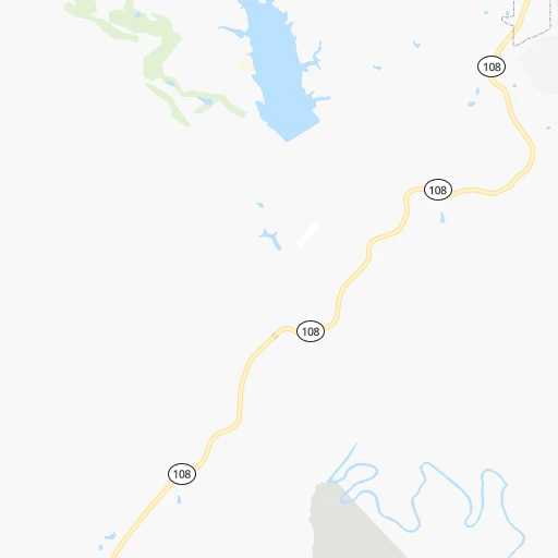
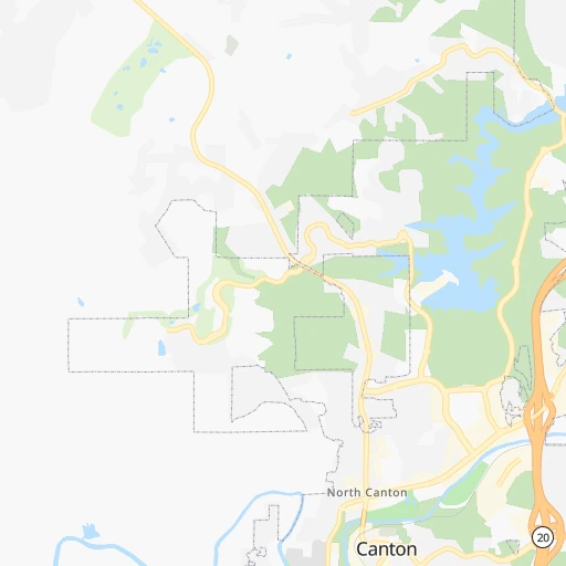
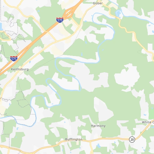
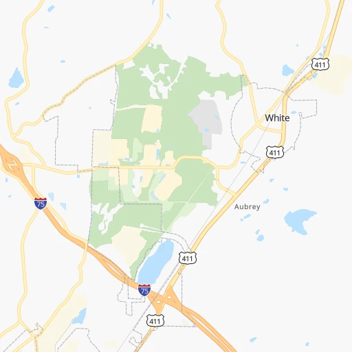
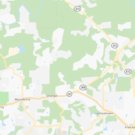
Roadmap (route) to go from Moore Airstrip to Columbia detailed above, you can also see the course layout on the map.
While doing trip Moore Airstrip - Columbia by car, the calculated route ends at a distance , or more straight.
Distance and duration of the route between Moore Airstrip and Columbia
Calculation of distance and route from Columbia to Moore Airstrip :
267.8353.3 km4h22mn
Continue onto Lost Town Lane 0h2mn 510 mTurn right onto Fincher Road 0h7mn 7.5 kmTurn right onto Knox Bridge Highway 0h11mn 14.0 kmKeep right and take I 75 North toward Chattanooga 1h3mn 105.9 kmKeep right and take I 24 West toward Chattanooga, Nashville 1h12mn 111.9 kmKeep right and drive toward Arnold Airforce Base, Tullahoma 0h0mn 434 mKeep left and drive toward Arnold Airforce Base, Tullahoma 0h0mn 14 mTurn sharp left onto A E D C Road 0h9mn 7.7 kmContinue onto Wattendorf Memorial Highway 0h13mn 13.6 kmTurn left onto East Carroll Street 0h1mn 709 mTurn right onto South Jackson Street 1h38mn 41.3 kmTurn left onto Old Columbia Road 0h15mn 15.2 kmTurn left onto Nashville Highway 0h0mn 343 mKeep right 0h0mn 77 mTurn slight right onto Sylvester Chunn Highway 0h11mn 11.9 kmKeep right 0h0mn 75 mTurn slight right onto Lewisburg and Franklin Pike 0h1mn 1.2 kmTurn left onto Bear Creek Pike 0h16mn 17.9 kmTurn left onto Nashville Highway 0h3mn 3.0 kmTurn left onto West 7th Street 0h0mn 24 mArrive at destination 0h0mn 0 m
Travel from Moore Airstrip (Tennessee) to a selection of major cities.
Distances from Moore Airstrip to biggest cities in Georgia
- Gainesville,38,712 inhabitants.71 km
- Milton,37,547 inhabitants.31 km
- Newnan,37,291 inhabitants.102 km
- Mableton,37,115 inhabitants.51 km
- Rome,36,323 inhabitants.53 km
- Martinez,35,795 inhabitants.247 km
- East Point,35,467 inhabitants.68 km
- Peachtree City,35,240 inhabitants.98 km
- Dalton,33,853 inhabitants.65 km
- Kennesaw,33,584 inhabitants.28 km
- Hinesville,33,398 inhabitants.389 km
- Redan,33,015 inhabitants.73 km
- Douglasville,32,897 inhabitants.60 km
- Statesboro,30,721 inhabitants.331 km
- Lawrenceville,30,493 inhabitants.66 km
- Woodstock,29,898 inhabitants.20 km
- LaGrange,29,588 inhabitants.144 km
- Duluth,29,193 inhabitants.51 km
- Evans,29,011 inhabitants.242 km
- Chamblee,28,244 inhabitants.50 km
Other major cities in country :
- Charlotte [NC], 827,097 inhabitants. 359 km
- Seattle [WA], 684,451 inhabitants. 3,459 km
- Denver [CO], 682,545 inhabitants. 1,907 km
- El Paso [TX], 681,124 inhabitants. 2,059 km
- Detroit [MI], 677,116 inhabitants. 907 km
- Boston [MA], 667,137 inhabitants. 1,482 km
- Memphis [TN], 655,770 inhabitants. 509 km
- New South Memphis [TN], 641,608 inhabitants. 508 km
- Portland [OR], 632,309 inhabitants. 3,446 km
- Oklahoma City [OK], 631,346 inhabitants. 1,187 km
- Las Vegas [NV], 623,747 inhabitants. 2,774 km
- Baltimore [MD], 621,849 inhabitants. 904 km
- Washington, D.C. [DC], 601,723 inhabitants. 848 km
- Milwaukee [WI], 600,155 inhabitants. 1,017 km
- South Boston [MA], 571,281 inhabitants. 1,481 km
- Albuquerque [NM], 559,121 inhabitants. 2,017 km
- Tucson [AZ], 531,641 inhabitants. 2,456 km
- Nashville [TN], 530,852 inhabitants. 290 km
- Fresno [CA], 520,052 inhabitants. 3,182 km
- Sacramento [CA], 490,712 inhabitants. 3,317 km
Route from Columbia to major cities (United States).
- Distance Columbia New York City1,272 km
- Distance Columbia Los Angeles2,845 km
- Distance Columbia Chicago696 km
- Distance Columbia Brooklyn1,274 km
- Distance Columbia Houston1,016 km
- Distance Columbia Queens1,284 km
- Distance Columbia Philadelphia1,149 km
- Distance Columbia Phoenix2,303 km
- Distance Columbia Manhattan1,278 km
- Distance Columbia San Antonio1,276 km
- Distance Columbia San Diego2,783 km
- Distance Columbia The Bronx1,289 km
- Distance Columbia Dallas953 km
- Distance Columbia San Jose3,109 km
- Distance Columbia Austin1,163 km
- Distance Columbia Jacksonville773 km
- Distance Columbia San Francisco3,149 km
- Distance Columbia Columbus600 km
- Distance Columbia Fort Worth1,000 km
- Distance Columbia Indianapolis469 km
Nearest cities to Moore Airstrip :
- Nashville, 530,852 inhabitants. 290 km
- Atlanta, 463,878 inhabitants. 62 km
- Birmingham, 212,461 inhabitants. 221 km
- Montgomery, 200,602 inhabitants. 265 km
- Columbus, 200,579 inhabitants. 205 km
- Huntsville, 190,582 inhabitants. 190 km
- Knoxville, 185,291 inhabitants. 197 km
- Chattanooga, 176,588 inhabitants. 108 km
- East Chattanooga, 154,024 inhabitants. 107 km
- Clarksville, 149,176 inhabitants. 355 km
- Murfreesboro, 126,118 inhabitants. 240 km
- Athens, 116,714 inhabitants. 117 km
- Sandy Springs, 105,330 inhabitants. 44 km
- Tuscaloosa, 98,332 inhabitants. 300 km
- Roswell, 94,501 inhabitants. 35 km
- Macon, 91,351 inhabitants. 183 km
- Asheville, 88,512 inhabitants. 237 km
- Hoover, 84,848 inhabitants. 227 km
- Johns Creek, 83,335 inhabitants. 45 km
- Albany, 74,843 inhabitants. 303 km
- Warner Robins, 73,490 inhabitants. 205 km
- Franklin, 72,639 inhabitants. 277 km
- Johnson City, 66,027 inhabitants. 305 km
- Greenville, 64,579 inhabitants. 211 km
- Alpharetta, 63,693 inhabitants. 35 km
- Bowling Green, 63,616 inhabitants. 346 km
- Auburn, 62,059 inhabitants. 203 km
- Marietta, 59,067 inhabitants. 36 km
- Smyrna, 56,146 inhabitants. 44 km
- Hendersonville, 56,018 inhabitants. 292 km
- Decatur, 55,437 inhabitants. 223 km
- Kingsport, 53,014 inhabitants. 313 km
- Brookhaven, 51,910 inhabitants. 52 km
- Stonecrest, 50,000 inhabitants. 76 km
- Dunwoody, 48,733 inhabitants. 44 km
- Madison, 46,962 inhabitants. 204 km
- Smyrna, 46,607 inhabitants. 259 km
- Cleveland, 43,898 inhabitants. 102 km
- Augusta, 43,459 inhabitants. 258 km
- Brentwood, 41,763 inhabitants. 279 km
- Peachtree Corners, 40,978 inhabitants. 48 km
- North Atlanta, 40,456 inhabitants. 51 km
- Gainesville, 38,712 inhabitants. 71 km
- Spartanburg, 37,867 inhabitants. 255 km
- Phenix City, 37,570 inhabitants. 205 km
- Milton, 37,547 inhabitants. 31 km
- Newnan, 37,291 inhabitants. 102 km
- Mableton, 37,115 inhabitants. 51 km
- Columbia, 36,800 inhabitants. 268 km
- Rome, 36,323 inhabitants. 53 km
Location Moore Airstrip (Georgia) :
| Country flag |  |
| Location | Moore Airstrip |
| State | Georgia |
| County | Cherokee County |
| Country | United States |
| Country code / ISO 2 | US |
| Latitude | 34.2759300 |
| Longitude | -84.5904900 |
| Altitude | 281 meters |
| Time zone | America/New_York |
Location Columbia (Tennessee) :
| Country flag | |
| Location | Columbia |
| State | Tennessee |
| County | Maury County |
| Country | United States |
| Country code / ISO 2 | US |
| Latitude | 35.6150700 |
| Longitude | -87.0352800 |
| Altitude | 196 meters |
| Time zone | America/Chicago |