
How to get from Bacon County (airport) (Georgia) to Phoenix (Arizona)
Calculate route from Bacon County (airport) (Georgia, United States) to Phoenix (Arizona, United States).
The flight distance (as the crow flies) between Bacon County (airport) and Phoenix is 2,770.1 km.
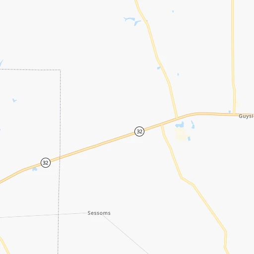
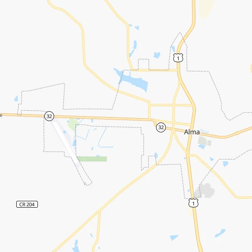
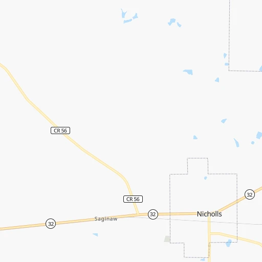
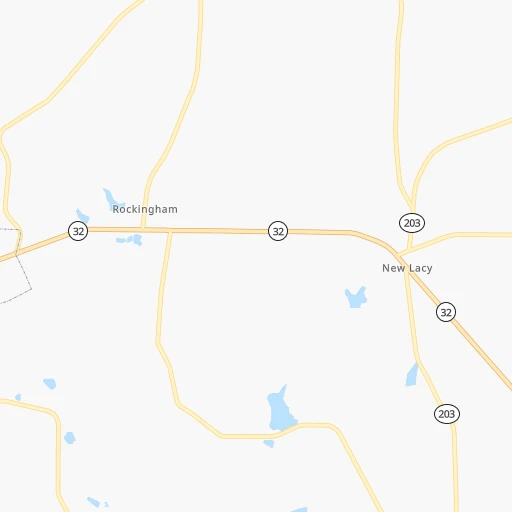
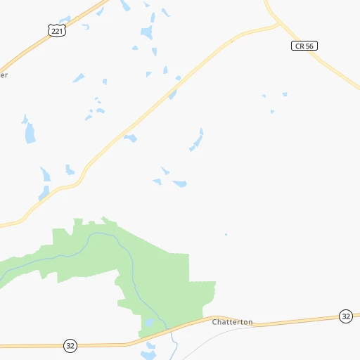
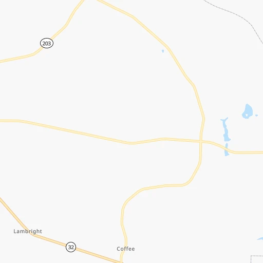
Roadmap (route) to go from Bacon County Airport to Phoenix detailed above, you can also see the course layout on the map.
While doing trip Bacon County (airport) - Phoenix by car, the calculated route ends at a distance , or more straight.
Distance and duration of the route between Bacon County (airport) and Phoenix
Calculation of distance and route from Phoenix to Bacon County (airport) :
2,770.13,116.5 km33h40mn
Continue 0h2mn 827 mTurn right onto Pine View Road 0h0mn 170 mTurn sharp left onto Woodland Lane 0h1mn 365 mTurn slight right onto Edmund Bennett Road 0h0mn 243 mTurn left onto Cypress Circle 0h3mn 1.3 kmTurn left onto GA 32 0h28mn 30.5 kmTurn left onto Westgreen Road 0h3mn 2.7 kmContinue onto West Ward Street 1h33mn 40.1 kmKeep right onto Mystic Highway 0h9mn 11.0 kmTurn left onto Irwinville Highway and take GA 32 West, GA 125 South toward Sycamore, Tifton 0h20mn 26.1 kmKeep right toward I 75 North 0h3mn 5.5 kmKeep right and take GA 107, GA 112 toward Ashburn, Fitzgerald 0h0mn 410 mTurn left onto East Washington Avenue 0h3mn 2.9 kmTurn right onto Leesburg Highway 1h39mn 51.5 kmTurn left onto GA 32 0h0mn 87 mTurn left onto Walnut Avenue South 0h0mn 185 mTurn right onto Linden Road West 0h2mn 1.6 kmTurn right onto GA 32 0h22mn 28.2 kmTurn left onto Rountree Drive Southwest 0h0mn 319 mTurn right onto Graves Station Road Southwest 0h26mn 33.4 kmAt roundabout, take exit 4 onto College Street 1h30mn 38.1 kmTurn slight right onto Ernest Vandiver Causeway 0h4mn 3.4 kmTurn right onto North Randolph Avenue 0h1mn 1.2 kmTurn left onto East Browder Street 0h0mn 190 mTurn right onto North Eufaula Avenue 0h1mn 1.2 kmTurn left onto US 82 1h47mn 62.5 kmTurn left onto Martin Luther King Boulevard 0h0mn 310 mTurn right onto Blackmon Avenue West 0h1mn 525 mTurn left onto Baskin Street 1h33mn 43.7 kmKeep right onto US 82 and take US 82 West, US 231 North toward Montgomery 0h14mn 20.1 kmTurn left onto South Boulevard 0h7mn 8.9 kmTurn left 0h1mn 1.5 kmKeep right onto US 80 and drive toward Selma 1h48mn 67.2 kmKeep left onto US 80 Business 0h5mn 5.4 kmTurn left onto J.L. Chestnut Junior Boulevard 0h2mn 2.1 kmTurn right onto Medical Center Parkway 0h3mn 2.6 kmKeep left onto US 80 1h27mn 130.7 kmTurn left 0h24mn 38.8 kmKeep right onto I 20, US 80 and take I 20 West toward Jackson 1h24mn 139.5 kmKeep right onto I 20, US 49 and take I 20 West, US 49 North toward Vicksburg, Yazoo City 1h43mn 69.0 kmKeep right onto I 20, US 80 5h9mn 526.4 kmKeep left onto I 20 and take I 20 West toward Fort Worth 1h6mn 112.9 kmKeep left onto Ronald Reagan Memorial Highway and take I 20 West toward Abilene 9h47mn 957.4 kmKeep right and take TX 20 toward Mesa Street 0h0mn 580 mTurn left onto East Yandell Drive 0h0mn 450 mKeep right 0h1mn 799 mTurn right onto Prospect Street 0h0mn 307 mTurn left onto West Schuster Avenue 0h0mn 177 mAt roundabout, take exit 2 onto Schuster Avenue Roundabout 0h0mn 304 mTurn right 0h6mn 8.9 kmKeep left onto Camino Real de Tierra Adentro toward I 10 West 2h20mn 244.1 kmKeep right onto I 10 Business toward I 10 BL, US 70 0h0mn 540 mTurn right onto East Motel Drive 0h3mn 3.1 kmTurn right 0h0mn 138 mTurn slight right onto Duncan Highway 1h22mn 120.8 kmContinue onto West 5th Street 1h40mn 52.6 kmTurn slight right onto US 70 1h50mn 71.8 kmTurn right onto South Hill Street 0h1mn 554 mTurn left onto East Oak Street 0h0mn 111 mTurn right onto North Broad Street 0h1mn 788 mKeep right 2h34mn 133.1 kmKeep right onto Maricopa Freeway and take I-17 North, US-60 West toward Flagstaff 0h2mn 3.1 kmKeep right and drive toward 7th Street, Central Avenue 0h0mn 369 mKeep right 0h2mn 2.1 kmTurn left onto East Washington Street 0h1mn 624 mContinue onto East Washington Street 0h0mn 215 mArrive at destination 0h0mn 0 m
Travel from Bacon County (airport) (Arizona) to a selection of major cities.
Distances from Bacon County Airport to biggest cities in Georgia
- Gainesville,38,712 inhabitants.331 km
- Milton,37,547 inhabitants.334 km
- Newnan,37,291 inhabitants.298 km
- Mableton,37,115 inhabitants.320 km
- Rome,36,323 inhabitants.392 km
- Martinez,35,795 inhabitants.224 km
- East Point,35,467 inhabitants.300 km
- Peachtree City,35,240 inhabitants.285 km
- Dalton,33,853 inhabitants.427 km
- Kennesaw,33,584 inhabitants.340 km
- Hinesville,33,398 inhabitants.93 km
- Redan,33,015 inhabitants.289 km
- Douglasville,32,897 inhabitants.324 km
- Statesboro,30,721 inhabitants.122 km
- Lawrenceville,30,493 inhabitants.303 km
- Woodstock,29,898 inhabitants.342 km
- LaGrange,29,588 inhabitants.291 km
- Duluth,29,193 inhabitants.315 km
- Evans,29,011 inhabitants.225 km
- Chamblee,28,244 inhabitants.311 km
Other major cities in country :
- Charlotte [NC], 827,097 inhabitants. 439 km
- Seattle [WA], 684,451 inhabitants. 3,801 km
- Denver [CO], 682,545 inhabitants. 2,221 km
- El Paso [TX], 681,124 inhabitants. 2,268 km
- Detroit [MI], 677,116 inhabitants. 1,203 km
- Boston [MA], 667,137 inhabitants. 1,574 km
- Memphis [TN], 655,770 inhabitants. 808 km
- New South Memphis [TN], 641,608 inhabitants. 806 km
- Portland [OR], 632,309 inhabitants. 3,780 km
- Oklahoma City [OK], 631,346 inhabitants. 1,459 km
- Las Vegas [NV], 623,747 inhabitants. 3,046 km
- Baltimore [MD], 621,849 inhabitants. 1,015 km
- Washington, D.C. [DC], 601,723 inhabitants. 958 km
- Milwaukee [WI], 600,155 inhabitants. 1,366 km
- South Boston [MA], 571,281 inhabitants. 1,573 km
- Albuquerque [NM], 559,121 inhabitants. 2,275 km
- Tucson [AZ], 531,641 inhabitants. 2,680 km
- Nashville [TN], 530,852 inhabitants. 649 km
- Fresno [CA], 520,052 inhabitants. 3,460 km
- Sacramento [CA], 490,712 inhabitants. 3,610 km
Route from Phoenix to major cities (United States).
- Distance Phoenix New York City3,448 km
- Distance Phoenix Los Angeles575 km
- Distance Phoenix Chicago2,337 km
- Distance Phoenix Brooklyn3,452 km
- Distance Phoenix Houston1,634 km
- Distance Phoenix Queens3,462 km
- Distance Phoenix Philadelphia3,348 km
- Distance Phoenix Manhattan3,451 km
- Distance Phoenix San Antonio1,364 km
- Distance Phoenix San Diego482 km
- Distance Phoenix The Bronx3,460 km
- Distance Phoenix Dallas1,424 km
- Distance Phoenix San Jose990 km
- Distance Phoenix Austin1,399 km
- Distance Phoenix Jacksonville2,886 km
- Distance Phoenix San Francisco1,052 km
- Distance Phoenix Columbus2,681 km
- Distance Phoenix Fort Worth1,377 km
- Distance Phoenix Indianapolis2,411 km
- Distance Phoenix Charlotte2,866 km
Nearest cities to Bacon County (airport) :
- Jacksonville, 868,031 inhabitants. 157 km
- Atlanta, 463,878 inhabitants. 303 km
- Orlando, 270,934 inhabitants. 351 km
- Columbus, 200,579 inhabitants. 256 km
- Tallahassee, 189,907 inhabitants. 209 km
- Savannah, 145,674 inhabitants. 146 km
- Columbia, 133,803 inhabitants. 307 km
- Charleston, 132,609 inhabitants. 279 km
- Gainesville, 130,128 inhabitants. 210 km
- Athens, 116,714 inhabitants. 282 km
- North Charleston, 108,304 inhabitants. 280 km
- Sandy Springs, 105,330 inhabitants. 318 km
- Roswell, 94,501 inhabitants. 327 km
- Macon, 91,351 inhabitants. 180 km
- Deltona, 88,474 inhabitants. 317 km
- Johns Creek, 83,335 inhabitants. 319 km
- Palm Coast, 82,893 inhabitants. 250 km
- Mount Pleasant, 81,317 inhabitants. 286 km
- Alafaya, 78,113 inhabitants. 354 km
- Albany, 74,843 inhabitants. 157 km
- Warner Robins, 73,490 inhabitants. 160 km
- Dothan, 68,567 inhabitants. 276 km
- Daytona Beach, 64,736 inhabitants. 295 km
- Alpharetta, 63,693 inhabitants. 328 km
- Auburn, 62,059 inhabitants. 305 km
- Pine Hills, 60,076 inhabitants. 347 km
- Port Orange, 59,866 inhabitants. 304 km
- Marietta, 59,067 inhabitants. 330 km
- Ocala, 58,218 inhabitants. 264 km
- Sanford, 58,111 inhabitants. 327 km
- Smyrna, 56,146 inhabitants. 322 km
- Valdosta, 55,724 inhabitants. 107 km
- Brookhaven, 51,910 inhabitants. 310 km
- The Villages, 51,442 inhabitants. 294 km
- Stonecrest, 50,000 inhabitants. 286 km
- Summerville, 48,848 inhabitants. 275 km
- Dunwoody, 48,733 inhabitants. 318 km
- Apopka, 48,382 inhabitants. 332 km
- Titusville, 45,393 inhabitants. 364 km
- Ocoee, 43,608 inhabitants. 343 km
- Augusta, 43,459 inhabitants. 221 km
- Altamonte Springs, 43,159 inhabitants. 338 km
- Peachtree Corners, 40,978 inhabitants. 315 km
- Ormond Beach, 40,970 inhabitants. 287 km
- Sumter, 40,816 inhabitants. 334 km
- Goose Creek, 40,633 inhabitants. 283 km
- Hilton Head Island, 40,512 inhabitants. 183 km
- North Atlanta, 40,456 inhabitants. 311 km
- Winter Garden, 40,356 inhabitants. 342 km
- St. Johns, 40,000 inhabitants. 186 km
Location Bacon County (airport) (Georgia) :
| Country flag |  |
| Location | Bacon County (airport) |
| State | Georgia |
| County | Bacon County |
| Country | United States |
| Country code / ISO 2 | US |
| Latitude | 31.5360400 |
| Longitude | -82.5065200 |
| Altitude | 58 meters |
| Time zone | America/New_York |
Location Phoenix (Arizona) :
| Country flag | |
| Location | Phoenix |
| State | Arizona |
| County | Maricopa County |
| Country | United States |
| Country code / ISO 2 | US |
| Latitude | 33.4483800 |
| Longitude | -112.0740400 |
| Altitude | 331 meters |
| Time zone | America/Phoenix |


