
How to get from The Trails (airport) (Florida) to Titusville (Florida)
Calculate route from The Trails (airport) (Florida, United States) to Titusville (Florida, United States).
The flight distance (as the crow flies) between The Trails (airport) and Titusville is 284.3 km.
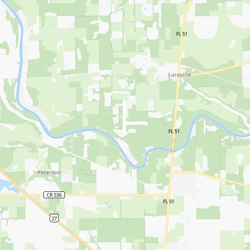
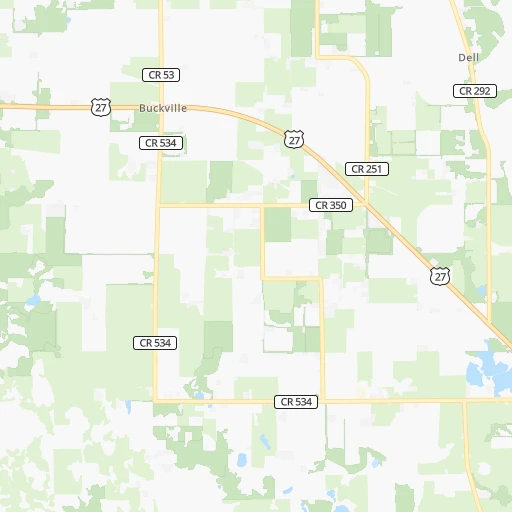
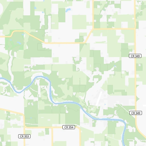
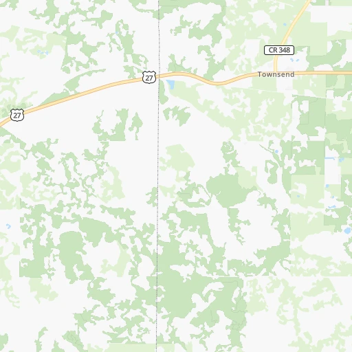
Roadmap (route) to go from The Trails Airport to Titusville detailed above, you can also see the course layout on the map.
While doing trip The Trails (airport) - Titusville by car, the calculated route ends at a distance , or more straight.
Distance and duration of the route between The Trails (airport) and Titusville
Calculation of distance and route from Titusville to The Trails (airport) :
284.3340.7 km4h8mn
Continue onto 217th Road 0h3mn 1.3 kmTurn right onto 180th Street 0h5mn 2.7 kmTurn right onto Irvin Avenue 0h6mn 7.7 kmTurn left onto Main Street 1h56mn 74.4 kmKeep right and take I 75 South toward Tampa 1h40mn 67.5 kmKeep right toward FL 326 0h1mn 701 mKeep left 0h0mn 54 mTurn left onto CR 326 0h14mn 18.2 kmTurn left onto Fort Brooks Road 1h48mn 63.0 kmTurn right onto South US Highway 1 0h11mn 15.0 kmKeep left onto US 17 0h4mn 4.6 kmTurn left onto International Speedway Boulevard 0h0mn 411 mTurn right onto North Amelia Avenue 0h1mn 1.3 kmTurn left onto East Plymouth Avenue 0h4mn 3.8 kmTurn left onto East New York Avenue 0h20mn 29.0 kmKeep right and take I 95 South toward Miami 0h24mn 40.4 kmKeep right and take FL 46 toward Sanford, Mims 0h0mn 469 mKeep left and take FL 46 East toward Mims, Moore Park And Museum, National Cemetery 0h0mn 60 mTurn left onto FL 46 0h2mn 2.3 kmTurn right onto Broadway Street 0h1mn 701 mTurn left onto Parker St, Cuyler Street 0h0mn 32 mTurn right onto US 1 0h4mn 4.7 kmKeep right onto Norwood Avenue 0h1mn 922 mTurn left onto Garden Street 0h0mn 54 mTurn right onto South Deleon Avenue 0h0mn 310 mTurn left onto Main Street 0h1mn 624 mTurn right onto Hopkins Avenue 0h0mn 142 mTurn left onto Julia Street 0h0mn 73 mTurn left onto Washington Avenue 0h0mn 98 mArrive at destination 0h0mn 0 m
Travel from The Trails (airport) (Florida) to a selection of major cities.
Distances from The Trails Airport to biggest cities in Florida
- Lakeland,104,401 inhabitants.260 km
- Brandon,103,483 inhabitants.257 km
- Davie,100,882 inhabitants.536 km
- Spring Hill,98,621 inhabitants.193 km
- Boca Raton,93,235 inhabitants.517 km
- Plantation,92,560 inhabitants.529 km
- Miami Beach,92,312 inhabitants.567 km
- Deltona,88,474 inhabitants.230 km
- Lehigh Acres,86,784 inhabitants.417 km
- Sunrise,84,439 inhabitants.536 km
- Palm Coast,82,893 inhabitants.200 km
- Largo,81,000 inhabitants.248 km
- Melbourne,80,127 inhabitants.337 km
- Deerfield Beach,79,768 inhabitants.519 km
- Town 'n' Country,78,442 inhabitants.241 km
- Alafaya,78,113 inhabitants.258 km
- Kendall,75,371 inhabitants.568 km
- Fort Myers,74,013 inhabitants.410 km
- Boynton Beach,73,966 inhabitants.503 km
- Lauderhill,71,579 inhabitants.530 km
Other major cities in country :
- Seattle [WA], 684,451 inhabitants. 3,855 km
- Denver [CO], 682,545 inhabitants. 2,251 km
- El Paso [TX], 681,124 inhabitants. 2,228 km
- Detroit [MI], 677,116 inhabitants. 1,361 km
- Boston [MA], 667,137 inhabitants. 1,741 km
- Memphis [TN], 655,770 inhabitants. 853 km
- New South Memphis [TN], 641,608 inhabitants. 849 km
- Portland [OR], 632,309 inhabitants. 3,823 km
- Oklahoma City [OK], 631,346 inhabitants. 1,466 km
- Las Vegas [NV], 623,747 inhabitants. 3,039 km
- Baltimore [MD], 621,849 inhabitants. 1,185 km
- Washington, D.C. [DC], 601,723 inhabitants. 1,129 km
- Milwaukee [WI], 600,155 inhabitants. 1,499 km
- South Boston [MA], 571,281 inhabitants. 1,740 km
- Albuquerque [NM], 559,121 inhabitants. 2,263 km
- Tucson [AZ], 531,641 inhabitants. 2,645 km
- Nashville [TN], 530,852 inhabitants. 753 km
- Fresno [CA], 520,052 inhabitants. 3,456 km
- Sacramento [CA], 490,712 inhabitants. 3,617 km
- Kansas City [MO], 475,378 inhabitants. 1,444 km
Route from Titusville to major cities (United States).
- Distance Titusville New York City1,483 km
- Distance Titusville Los Angeles3,591 km
- Distance Titusville Chicago1,598 km
- Distance Titusville Brooklyn1,479 km
- Distance Titusville Houston1,419 km
- Distance Titusville Queens1,486 km
- Distance Titusville Philadelphia1,364 km
- Distance Titusville Phoenix3,019 km
- Distance Titusville Manhattan1,491 km
- Distance Titusville San Antonio1,722 km
- Distance Titusville San Diego3,494 km
- Distance Titusville The Bronx1,502 km
- Distance Titusville Dallas1,598 km
- Distance Titusville San Jose3,925 km
- Distance Titusville Austin1,651 km
- Distance Titusville San Francisco3,973 km
- Distance Titusville Columbus1,279 km
- Distance Titusville Fort Worth1,644 km
- Distance Titusville Indianapolis1,335 km
- Distance Titusville Charlotte736 km
Nearest cities to The Trails (airport) :
- Jacksonville, 868,031 inhabitants. 150 km
- Tampa, 369,075 inhabitants. 251 km
- Orlando, 270,934 inhabitants. 248 km
- St. Petersburg, 257,083 inhabitants. 265 km
- Columbus, 200,579 inhabitants. 313 km
- Tallahassee, 189,907 inhabitants. 111 km
- Port Saint Lucie, 164,603 inhabitants. 418 km
- Savannah, 145,674 inhabitants. 297 km
- Gainesville, 130,128 inhabitants. 98 km
- Clearwater, 113,003 inhabitants. 242 km
- Palm Bay, 107,888 inhabitants. 343 km
- Lakeland, 104,401 inhabitants. 260 km
- Brandon, 103,483 inhabitants. 257 km
- Spring Hill, 98,621 inhabitants. 193 km
- Macon, 91,351 inhabitants. 307 km
- Deltona, 88,474 inhabitants. 230 km
- Palm Coast, 82,893 inhabitants. 200 km
- Largo, 81,000 inhabitants. 248 km
- Melbourne, 80,127 inhabitants. 337 km
- Town 'n' Country, 78,442 inhabitants. 241 km
- Alafaya, 78,113 inhabitants. 258 km
- Albany, 74,843 inhabitants. 188 km
- Warner Robins, 73,490 inhabitants. 282 km
- Riverview, 71,050 inhabitants. 263 km
- Kissimmee, 69,152 inhabitants. 265 km
- Dothan, 68,567 inhabitants. 245 km
- Daytona Beach, 64,736 inhabitants. 232 km
- Auburn, 62,059 inhabitants. 353 km
- Pine Hills, 60,076 inhabitants. 241 km
- Port Orange, 59,866 inhabitants. 238 km
- Ocala, 58,218 inhabitants. 144 km
- Sanford, 58,111 inhabitants. 236 km
- Palm Harbor, 57,439 inhabitants. 230 km
- Valdosta, 55,724 inhabitants. 81 km
- Sarasota, 55,118 inhabitants. 315 km
- Bradenton, 54,437 inhabitants. 297 km
- Poinciana, 53,193 inhabitants. 276 km
- Pinellas Park, 51,617 inhabitants. 257 km
- The Villages, 51,442 inhabitants. 177 km
- Apopka, 48,382 inhabitants. 228 km
- Titusville, 45,393 inhabitants. 285 km
- Fort Pierce, 44,484 inhabitants. 407 km
- Wesley Chapel, 44,092 inhabitants. 224 km
- Ocoee, 43,608 inhabitants. 234 km
- Altamonte Springs, 43,159 inhabitants. 239 km
- University, 41,163 inhabitants. 238 km
- Ormond Beach, 40,970 inhabitants. 226 km
- Carrollwood Village, 40,949 inhabitants. 236 km
- Hilton Head Island, 40,512 inhabitants. 329 km
- Winter Garden, 40,356 inhabitants. 232 km
Location The Trails (airport) (Florida) :
| Country flag |  |
| Location | The Trails (airport) |
| State | Florida |
| County | Suwannee County |
| Country | United States |
| Country code / ISO 2 | US |
| Latitude | 30.1091100 |
| Longitude | -83.1887500 |
| Altitude | 19 meters |
| Time zone | America/New_York |
Location Titusville (Florida) :
| Country flag | |
| Location | Titusville |
| State | Florida |
| County | Brevard County |
| Country | United States |
| Country code / ISO 2 | US |
| Latitude | 28.6122200 |
| Longitude | -80.8075500 |
| Altitude | 3 meters |
| Time zone | America/New_York |


