

How to get from Holley Landing Strip (Florida) to North Port (Florida)
Calculate route from Holley Landing Strip (Florida, United States) to North Port (Florida, United States).
The flight distance (as the crow flies) between Holley Landing Strip and North Port is 250.3 km.
Roadmap (route) to go from Holley Landing Strip to North Port detailed above, you can also see the course layout on the map.
While doing trip Holley Landing Strip - North Port by car, the calculated route ends at a distance , or more straight.
Distance and duration of the route between Holley Landing Strip and North Port
Calculation of distance and route from North Port to Holley Landing Strip :
250.3308.8 km4h49mn
Continue onto Southwest 372nd Street 0h2mn 522 mTurn right onto Southwest 192nd Avenue 0h3mn 3.0 kmTurn right onto Southwest 344th Street 0h2mn 1.6 kmTurn left onto Northwest 6th Avenue 0h2mn 1.6 kmTurn right onto Southwest 8th Street 0h0mn 406 mTurn left onto South Flagler Avenue 0h1mn 801 mKeep left onto Southwest 177th Avenue 0h29mn 32.6 kmTurn left onto Southwest 8th Street 2h35mn 131.6 kmTurn right onto Collier Boulevard 0h10mn 11.3 kmKeep left and take I 75 North toward Tampa 1h56mn 94.9 kmKeep right and take CR 768 toward Punta Gorda, Punta Gorda Airport 0h0mn 355 mKeep left and take CR 768 West toward Punta Gorda 0h1mn 1.1 kmTurn right onto Taylor Road 0h5mn 4.2 kmContinue onto Taylor Road 0h1mn 944 mContinue onto Taylor Road 0h0mn 219 mTurn right onto Tamiami Trail 0h21mn 23.4 kmTurn right onto North Port Boulevard 0h0mn 63 mTurn left 0h0mn 11 mArrive at destination 0h0mn 0 m
Travel from Holley Landing Strip (Florida) to a selection of major cities.
Distances from Holley Landing Strip to biggest cities in Florida
- Lakeland,104,401 inhabitants.325 km
- Brandon,103,483 inhabitants.332 km
- Davie,100,882 inhabitants.76 km
- Spring Hill,98,621 inhabitants.395 km
- Boca Raton,93,235 inhabitants.112 km
- Plantation,92,560 inhabitants.84 km
- Miami Beach,92,312 inhabitants.55 km
- Deltona,88,474 inhabitants.395 km
- Lehigh Acres,86,784 inhabitants.175 km
- Sunrise,84,439 inhabitants.88 km
- Palm Coast,82,893 inhabitants.469 km
- Largo,81,000 inhabitants.359 km
- Melbourne,80,127 inhabitants.297 km
- Deerfield Beach,79,768 inhabitants.108 km
- Town 'n' Country,78,442 inhabitants.355 km
- Alafaya,78,113 inhabitants.357 km
- Kendall,75,371 inhabitants.34 km
- Fort Myers,74,013 inhabitants.190 km
- Boynton Beach,73,966 inhabitants.130 km
- Lauderhill,71,579 inhabitants.85 km
Other major cities in country :
- Seattle [WA], 684,451 inhabitants. 4,406 km
- Denver [CO], 682,545 inhabitants. 2,781 km
- El Paso [TX], 681,124 inhabitants. 2,629 km
- Detroit [MI], 677,116 inhabitants. 1,897 km
- Boston [MA], 667,137 inhabitants. 2,074 km
- Memphis [TN], 655,770 inhabitants. 1,418 km
- New South Memphis [TN], 641,608 inhabitants. 1,414 km
- Portland [OR], 632,309 inhabitants. 4,361 km
- Oklahoma City [OK], 631,346 inhabitants. 1,975 km
- Las Vegas [NV], 623,747 inhabitants. 3,500 km
- Baltimore [MD], 621,849 inhabitants. 1,586 km
- Washington, D.C. [DC], 601,723 inhabitants. 1,535 km
- Milwaukee [WI], 600,155 inhabitants. 2,074 km
- South Boston [MA], 571,281 inhabitants. 2,072 km
- Albuquerque [NM], 559,121 inhabitants. 2,725 km
- Tucson [AZ], 531,641 inhabitants. 3,052 km
- Nashville [TN], 530,852 inhabitants. 1,338 km
- Fresno [CA], 520,052 inhabitants. 3,920 km
- Sacramento [CA], 490,712 inhabitants. 4,098 km
- Kansas City [MO], 475,378 inhabitants. 2,014 km
Route from North Port to major cities (United States).
- Distance North Port New York City1,699 km
- Distance North Port Los Angeles3,520 km
- Distance North Port Chicago1,720 km
- Distance North Port Brooklyn1,695 km
- Distance North Port Houston1,320 km
- Distance North Port Queens1,703 km
- Distance North Port Philadelphia1,578 km
- Distance North Port Phoenix2,946 km
- Distance North Port Manhattan1,708 km
- Distance North Port San Antonio1,615 km
- Distance North Port San Diego3,414 km
- Distance North Port The Bronx1,718 km
- Distance North Port Dallas1,542 km
- Distance North Port San Jose3,876 km
- Distance North Port Austin1,555 km
- Distance North Port San Francisco3,927 km
- Distance North Port Columbus1,440 km
- Distance North Port Fort Worth1,585 km
- Distance North Port Indianapolis1,462 km
- Distance North Port Charlotte920 km
Nearest cities to Holley Landing Strip :
- Miami, 441,003 inhabitants. 50 km
- Tampa, 369,075 inhabitants. 342 km
- St. Petersburg, 257,083 inhabitants. 340 km
- Hialeah, 237,069 inhabitants. 53 km
- Fort Lauderdale, 178,590 inhabitants. 86 km
- Cape Coral, 175,229 inhabitants. 193 km
- Pembroke Pines, 166,611 inhabitants. 70 km
- Port Saint Lucie, 164,603 inhabitants. 209 km
- Hollywood, 149,728 inhabitants. 74 km
- Miramar, 137,132 inhabitants. 68 km
- Coral Springs, 129,485 inhabitants. 97 km
- Miami Gardens, 113,187 inhabitants. 63 km
- Clearwater, 113,003 inhabitants. 364 km
- Palm Bay, 107,888 inhabitants. 291 km
- Pompano Beach, 107,762 inhabitants. 98 km
- West Palm Beach, 106,779 inhabitants. 151 km
- Lakeland, 104,401 inhabitants. 325 km
- Brandon, 103,483 inhabitants. 332 km
- Davie, 100,882 inhabitants. 76 km
- Boca Raton, 93,235 inhabitants. 112 km
- Plantation, 92,560 inhabitants. 84 km
- Miami Beach, 92,312 inhabitants. 55 km
- Lehigh Acres, 86,784 inhabitants. 175 km
- Sunrise, 84,439 inhabitants. 88 km
- Largo, 81,000 inhabitants. 359 km
- Melbourne, 80,127 inhabitants. 297 km
- Deerfield Beach, 79,768 inhabitants. 108 km
- Town 'n' Country, 78,442 inhabitants. 355 km
- Kendall, 75,371 inhabitants. 34 km
- Fort Myers, 74,013 inhabitants. 190 km
- Boynton Beach, 73,966 inhabitants. 130 km
- Lauderhill, 71,579 inhabitants. 85 km
- Riverview, 71,050 inhabitants. 328 km
- Weston, 69,959 inhabitants. 76 km
- Kissimmee, 69,152 inhabitants. 334 km
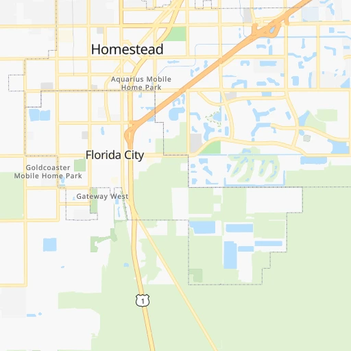
- Homestead, 66,498 inhabitants. 6 km
- Delray Beach, 66,255 inhabitants. 123 km
- Tamarac, 64,681 inhabitants. 92 km
- Carol City, 63,031 inhabitants. 63 km
- Jupiter, 62,707 inhabitants. 173 km
- Wellington, 62,560 inhabitants. 140 km
- North Miami, 62,435 inhabitants. 61 km
- North Port, 62,345 inhabitants. 251 km
- West Hollywood, 60,806 inhabitants. 74 km
- Fountainebleau, 59,764 inhabitants. 42 km
- Coconut Creek, 59,302 inhabitants. 98 km
- Palm Harbor, 57,439 inhabitants. 372 km
- Margate, 57,234 inhabitants. 96 km
- Kendale Lakes, 56,148 inhabitants. 33 km
- Doral, 56,035 inhabitants. 47 km
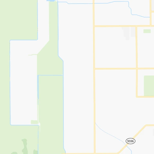
Location Holley Landing Strip (Florida) :
| Country flag |  |
| Location | Holley Landing Strip |
| State | Florida |
| County | Miami-Dade County |
| Country | United States |
| Country code / ISO 2 | US |
| Latitude | 25.4201100 |
| Longitude | -80.4961700 |
| Altitude | 1 meters |
| Time zone | America/New_York |
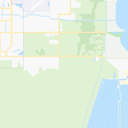
Location North Port (Florida) :
| Country flag | |
| Location | North Port |
| State | Florida |
| County | Sarasota County |
| Country | United States |
| Country code / ISO 2 | US |
| Latitude | 27.0442200 |
| Longitude | -82.2359300 |
| Altitude | 3 meters |
| Time zone | America/New_York |