
How to get from Turrell Flying Service (Arkansas) to Farmington (Missouri)
Calculate route from Turrell Flying Service (Arkansas, United States) to Farmington (Missouri, United States).
The flight distance (as the crow flies) between Turrell Flying Service and Farmington is 267.7 km.
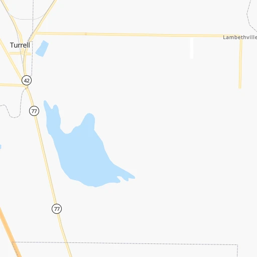
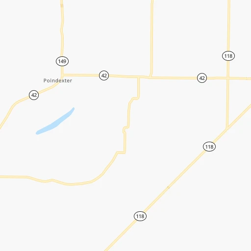
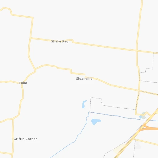
Roadmap (route) to go from Turrell Flying Service to Farmington detailed above, you can also see the course layout on the map.
While doing trip Turrell Flying Service - Farmington by car, the calculated route ends at a distance , or more straight.
Distance and duration of the route between Turrell Flying Service and Farmington
Calculation of distance and route from Farmington to Turrell Flying Service :
267.7321.8 km5h31mn
Continue onto Old River Road 0h6mn 4.9 kmTurn left onto Stacy Road 0h1mn 726 mTurn right onto Barton 0h1mn 494 mContinue onto Barton 0h0mn 73 mTurn right onto AR 77 1h36mn 59.3 kmKeep right 0h1mn 589 mKeep right 0h0mn 45 mTurn slight right onto Gum Point Road 0h14mn 11.8 kmTurn left onto Brookland Lester 0h0mn 128 mTurn sharp right onto East Johnson Avenue 0h22mn 24.2 kmTurn left onto AR 135 0h8mn 8.4 kmKeep right onto AR 135 0h21mn 21.2 kmKeep right onto AR 135 0h9mn 9.4 kmTurn slight left onto US 62 0h6mn 6.5 kmContinue onto North Missouri Avenue 1h38mn 47.6 kmKeep right onto US 67 and take US 60 West, US 67 North toward Springfield 2h40mn 120.2 kmTurn right onto MO H 0h7mn 5.9 kmTurn left onto East Harrison Street 0h1mn 256 mTurn right onto South Jefferson Street 0h0mn 121 mArrive at destination 0h0mn 0 m
Travel from Turrell Flying Service (Missouri) to a selection of major cities.
Distances from Turrell Flying Service to biggest cities in Arkansas
- West Memphis,25,052 inhabitants.26 km
- Searcy,24,196 inhabitants.140 km
- Van Buren,23,081 inhabitants.377 km
Other major cities in country :
- Charlotte [NC], 827,097 inhabitants. 850 km
- Seattle [WA], 684,451 inhabitants. 2,976 km
- Denver [CO], 682,545 inhabitants. 1,390 km
- El Paso [TX], 681,124 inhabitants. 1,562 km
- Detroit [MI], 677,116 inhabitants. 991 km
- Boston [MA], 667,137 inhabitants. 1,826 km
- Memphis [TN], 655,770 inhabitants. 29 km
- New South Memphis [TN], 641,608 inhabitants. 35 km
- Portland [OR], 632,309 inhabitants. 2,949 km
- Oklahoma City [OK], 631,346 inhabitants. 664 km
- Las Vegas [NV], 623,747 inhabitants. 2,248 km
- Baltimore [MD], 621,849 inhabitants. 1,277 km
- Washington, D.C. [DC], 601,723 inhabitants. 1,230 km
- Milwaukee [WI], 600,155 inhabitants. 875 km
- South Boston [MA], 571,281 inhabitants. 1,826 km
- Albuquerque [NM], 559,121 inhabitants. 1,495 km
- Tucson [AZ], 531,641 inhabitants. 1,946 km
- Nashville [TN], 530,852 inhabitants. 320 km
- Fresno [CA], 520,052 inhabitants. 2,655 km
- Sacramento [CA], 490,712 inhabitants. 2,792 km
Route from Farmington to major cities (United States).
- Distance Farmington New York City1,450 km
- Distance Farmington Los Angeles2,533 km
- Distance Farmington Chicago511 km
- Distance Farmington Brooklyn1,454 km
- Distance Farmington Houston1,002 km
- Distance Farmington Queens1,464 km
- Distance Farmington Philadelphia1,343 km
- Distance Farmington Phoenix2,013 km
- Distance Farmington Manhattan1,454 km
- Distance Farmington San Antonio1,193 km
- Distance Farmington San Diego2,487 km
- Distance Farmington The Bronx1,464 km
- Distance Farmington Dallas803 km
- Distance Farmington San Jose2,765 km
- Distance Farmington Austin1,074 km
- Distance Farmington Jacksonville1,157 km
- Distance Farmington San Francisco2,801 km
- Distance Farmington Columbus687 km
- Distance Farmington Fort Worth842 km
- Distance Farmington Indianapolis431 km
Nearest cities to Turrell Flying Service :
- Memphis, 655,770 inhabitants. 29 km
- New South Memphis, 641,608 inhabitants. 35 km
- Little Rock, 197,992 inhabitants. 203 km
- Clarksville, 149,176 inhabitants. 286 km
- Evansville, 119,943 inhabitants. 373 km
- Tuscaloosa, 98,332 inhabitants. 342 km
- Jonesboro, 73,907 inhabitants. 69 km
- Jackson, 66,975 inhabitants. 128 km
- North Little Rock, 66,504 inhabitants. 200 km
- Conway, 64,980 inhabitants. 207 km
- Bartlett, 58,579 inhabitants. 35 km
- Southaven, 52,589 inhabitants. 47 km
- Monroe, 49,598 inhabitants. 365 km
- Collierville, 48,863 inhabitants. 61 km
- Pine Bluff, 44,772 inhabitants. 209 km
- Florence, 40,026 inhabitants. 238 km
- Cape Girardeau, 39,462 inhabitants. 223 km
- Germantown, 39,240 inhabitants. 48 km
- Olive Branch, 36,010 inhabitants. 57 km
- East Florence, 35,733 inhabitants. 241 km
- Tupelo, 35,680 inhabitants. 185 km
- Hot Springs, 35,635 inhabitants. 278 km
- Hot Springs National Park, 35,193 inhabitants. 278 km
- Benton, 34,177 inhabitants. 236 km
- Hopkinsville, 32,205 inhabitants. 294 km
- Greenville, 32,156 inhabitants. 233 km
- Sherwood, 30,517 inhabitants. 195 km
- Russellville, 29,166 inhabitants. 267 km
- Henderson, 28,890 inhabitants. 359 km
- Jacksonville, 28,643 inhabitants. 183 km
- Paragould, 27,900 inhabitants. 80 km
- Horn Lake, 26,915 inhabitants. 49 km
- Carbondale, 26,399 inhabitants. 276 km
- Madison, 25,799 inhabitants. 325 km
- Cabot, 25,587 inhabitants. 171 km
- Starkville, 25,366 inhabitants. 249 km
- West Memphis, 25,052 inhabitants. 26 km
- Paducah, 24,864 inhabitants. 238 km
- Northport, 24,772 inhabitants. 340 km
- Ridgeland, 24,351 inhabitants. 328 km
- Searcy, 24,196 inhabitants. 140 km
- Columbus, 23,168 inhabitants. 265 km
- Ruston, 22,340 inhabitants. 390 km
- Oxford, 22,314 inhabitants. 129 km
- Rolla, 20,019 inhabitants. 319 km
- Bryant, 19,986 inhabitants. 226 km
- Madisonville, 19,539 inhabitants. 325 km
- Murray, 18,954 inhabitants. 218 km
- El Dorado, 18,386 inhabitants. 332 km
- Farmington, 18,181 inhabitants. 268 km
Location Turrell Flying Service (Arkansas) :
| Country flag |  |
| Location | Turrell Flying Service |
| State | Arkansas |
| County | Crittenden County |
| Country | United States |
| Country code / ISO 2 | US |
| Latitude | 35.3785100 |
| Longitude | -90.1976500 |
| Altitude | 69 meters |
| Time zone | America/Chicago |
Location Farmington (Missouri) :
| Country flag | |
| Location | Farmington |
| State | Missouri |
| County | Saint Francois County |
| Country | United States |
| Country code / ISO 2 | US |
| Latitude | 37.7808800 |
| Longitude | -90.4217900 |
| Altitude | 278 meters |
| Time zone | America/Chicago |

