
How to get from Paragould (Arkansas) to Jacksonville (Arkansas)
Calculate route from Paragould (Arkansas, United States) to Jacksonville (Arkansas, United States).
The flight distance (as the crow flies) between Paragould and Jacksonville is 197.1 km.
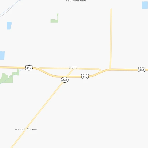
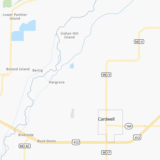
Roadmap (route) to go from Paragould to Jacksonville detailed above, you can also see the course layout on the map.
While doing trip Paragould - Jacksonville by car, the calculated route ends at a distance , or more straight.
Distance and duration of the route between Paragould and Jacksonville
Calculation of distance and route from Jacksonville to Paragould :
197.1223.9 km2h23mn
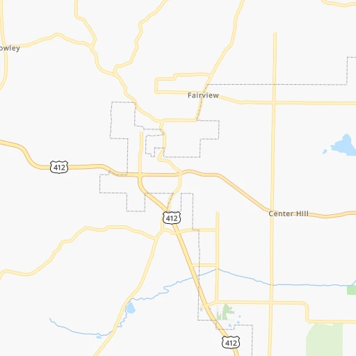
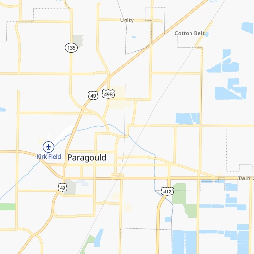
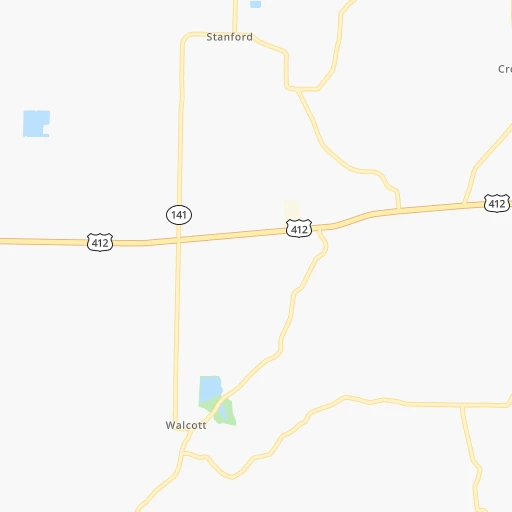
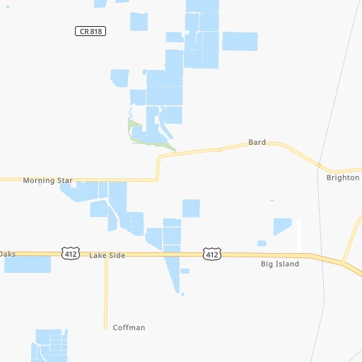
Continue onto Winchester 0h0mn 195 mTurn left onto Meriwether 0h1mn 341 mTurn left onto North 12th Street 0h0mn 152 mTurn right onto West Court Street 0h0mn 329 mContinue onto West Court Street 0h7mn 7.3 kmContinue onto US 412 0h28mn 32.7 kmTurn left onto US 412 2h44mn 179.7 kmKeep right and drive toward Air Force Base 0h0mn 117 mKeep left and drive toward Air Force Base 0h0mn 29 mTurn slight left onto North 1st Street 0h1mn 454 mTurn left onto North First Street 0h0mn 194 mTurn slight right onto North 1st Street 0h2mn 2.3 kmArrive at destination 0h0mn 0 m
Travel from Paragould (Arkansas) to a selection of major cities.
Distances from Paragould to biggest cities in Arkansas
Other major cities in country :
- Charlotte [NC], 827,097 inhabitants. 878 km
- Seattle [WA], 684,451 inhabitants. 2,909 km
- Denver [CO], 682,545 inhabitants. 1,335 km
- El Paso [TX], 681,124 inhabitants. 1,551 km
- Detroit [MI], 677,116 inhabitants. 948 km
- Boston [MA], 667,137 inhabitants. 1,812 km
- Memphis [TN], 655,770 inhabitants. 109 km
- New South Memphis [TN], 641,608 inhabitants. 115 km
- Portland [OR], 632,309 inhabitants. 2,886 km
- Oklahoma City [OK], 631,346 inhabitants. 637 km
- Las Vegas [NV], 623,747 inhabitants. 2,210 km
- Baltimore [MD], 621,849 inhabitants. 1,274 km
- Washington, D.C. [DC], 601,723 inhabitants. 1,229 km
- Milwaukee [WI], 600,155 inhabitants. 808 km
- South Boston [MA], 571,281 inhabitants. 1,812 km
- Albuquerque [NM], 559,121 inhabitants. 1,465 km
- Tucson [AZ], 531,641 inhabitants. 1,926 km
- Nashville [TN], 530,852 inhabitants. 334 km
- Fresno [CA], 520,052 inhabitants. 2,614 km
- Sacramento [CA], 490,712 inhabitants. 2,745 km
Route from Jacksonville to major cities (United States).
- Distance Jacksonville New York City1,716 km
- Distance Jacksonville Los Angeles2,394 km
- Distance Jacksonville Chicago869 km
- Distance Jacksonville Brooklyn1,719 km
- Distance Jacksonville Houston645 km
- Distance Jacksonville Queens1,729 km
- Distance Jacksonville Philadelphia1,599 km
- Distance Jacksonville Phoenix1,843 km
- Distance Jacksonville Manhattan1,722 km
- Distance Jacksonville San Antonio853 km
- Distance Jacksonville San Diego2,324 km
- Distance Jacksonville The Bronx1,732 km
- Distance Jacksonville Dallas492 km
- Distance Jacksonville San Jose2,682 km
- Distance Jacksonville Austin736 km
- Distance Jacksonville Jacksonville1,102 km
- Distance Jacksonville San Francisco2,726 km
- Distance Jacksonville Columbus984 km
- Distance Jacksonville Fort Worth538 km
- Distance Jacksonville Indianapolis758 km
Nearest cities to Paragould :
- Memphis, 655,770 inhabitants. 109 km
- New South Memphis, 641,608 inhabitants. 115 km
- St. Louis, 315,685 inhabitants. 287 km
- Little Rock, 197,992 inhabitants. 219 km
- Springfield, 166,810 inhabitants. 281 km
- Evansville, 119,943 inhabitants. 337 km
- Columbia, 119,108 inhabitants. 361 km
- Tuscaloosa, 98,332 inhabitants. 415 km
- O'Fallon, 85,040 inhabitants. 307 km
- Jonesboro, 73,907 inhabitants. 30 km
- Jackson, 66,975 inhabitants. 160 km
- North Little Rock, 66,504 inhabitants. 215 km
- Saint Charles, 65,794 inhabitants. 303 km
- Conway, 64,980 inhabitants. 207 km
- Bartlett, 58,579 inhabitants. 111 km
- Southaven, 52,589 inhabitants. 127 km
- Saint Peters, 52,575 inhabitants. 305 km
- Florissant, 52,268 inhabitants. 304 km
- Collierville, 48,863 inhabitants. 136 km
- Chesterfield, 47,864 inhabitants. 290 km
- Pine Bluff, 44,772 inhabitants. 246 km
- Jefferson City, 43,169 inhabitants. 317 km
- Belleville, 42,034 inhabitants. 278 km
- Florence, 40,026 inhabitants. 292 km
- Cape Girardeau, 39,462 inhabitants. 164 km
- Germantown, 39,240 inhabitants. 125 km
- Oakville, 36,143 inhabitants. 269 km
- Olive Branch, 36,010 inhabitants. 136 km
- Wildwood, 35,899 inhabitants. 281 km
- East Florence, 35,733 inhabitants. 293 km
- Tupelo, 35,680 inhabitants. 258 km
- Hot Springs, 35,635 inhabitants. 290 km
- Wentzville, 35,603 inhabitants. 308 km
- Hot Springs National Park, 35,193 inhabitants. 289 km
- University City, 35,058 inhabitants. 290 km
- Benton, 34,177 inhabitants. 252 km
- Greenville, 32,156 inhabitants. 299 km
- Ballwin, 30,577 inhabitants. 282 km
- Sherwood, 30,517 inhabitants. 209 km
- Upper Alton, 29,251 inhabitants. 319 km
- Russellville, 29,166 inhabitants. 254 km
- Granite City, 29,054 inhabitants. 296 km
- O'Fallon, 29,002 inhabitants. 287 km
- Henderson, 28,890 inhabitants. 326 km
- Jacksonville, 28,643 inhabitants. 197 km
- Mehlville, 28,380 inhabitants. 273 km
- Paragould, 27,900 inhabitants. 0 km
- Kirkwood, 27,750 inhabitants. 281 km
- Maryland Heights, 27,389 inhabitants. 296 km
- East Saint Louis, 27,006 inhabitants. 287 km
Location Paragould (Arkansas) :
| Country flag |  |
| Location | Paragould |
| State | Arkansas |
| County | Greene County |
| Country | United States |
| Country code / ISO 2 | US |
| Latitude | 36.0584000 |
| Longitude | -90.4973300 |
| Altitude | 92 meters |
| Time zone | America/Chicago |
Location Jacksonville (Arkansas) :
| Country flag | |
| Location | Jacksonville |
| State | Arkansas |
| County | Pulaski County |
| Country | United States |
| Country code / ISO 2 | US |
| Latitude | 34.8662000 |
| Longitude | -92.1101500 |
| Altitude | 87 meters |
| Time zone | America/Chicago |


