


How to get from Maumelle (Arkansas) to El Dorado (Arkansas)
Calculate route from Maumelle (Arkansas, United States) to El Dorado (Arkansas, United States).
The flight distance (as the crow flies) between Maumelle and El Dorado is 185.9 km.
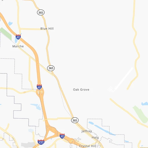
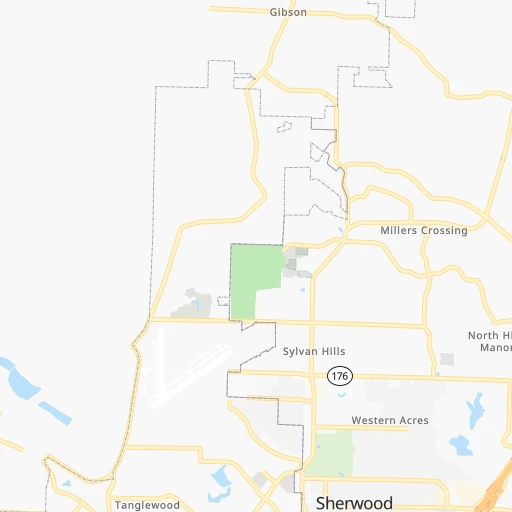
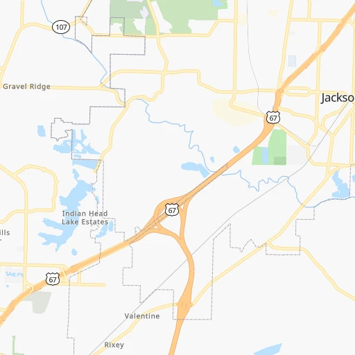
Roadmap (route) to go from Maumelle to El Dorado detailed above, you can also see the course layout on the map.
While doing trip Maumelle - El Dorado by car, the calculated route ends at a distance , or more straight.
Distance and duration of the route between Maumelle and El Dorado
Calculation of distance and route from El Dorado to Maumelle :
185.9213.0 km3h41mn
Continue 0h0mn 23 mTurn sharp right 0h0mn 51 mTurn right onto Edgewood Drive 0h3mn 2.7 kmTurn slight right onto State Highway 365 0h1mn 981 mKeep right 0h10mn 17.3 kmKeep right onto US 65 0h5mn 7.5 kmKeep left onto I 530, US 65, US 167 0h9mn 16.1 kmKeep right onto US 167 and take US 167 South toward Sheridan, Fordyce, El Dorado 0h25mn 29.6 kmTurn left onto US 167B 0h10mn 11.0 kmTurn left onto Sheridan Bypass 0h0mn 74 mTurn slight right onto South Rock Street 1h35mn 47.4 kmKeep right 0h6mn 6.6 kmKeep left onto US 167 1h52mn 68.6 kmTurn left onto North West Avenue 0h5mn 5.1 kmTurn right onto West Hillsboro Street 0h0mn 83 mTurn right onto Barton Street 0h0mn 21 mArrive at destination 0h0mn 0 m
Travel from Maumelle (Arkansas) to a selection of major cities.
Distances from Maumelle to biggest cities in Arkansas
- West Memphis,25,052 inhabitants.205 km
- Searcy,24,196 inhabitants.74 km
- Van Buren,23,081 inhabitants.188 km
Other major cities in country :
- Charlotte [NC], 827,097 inhabitants. 1,054 km
- Seattle [WA], 684,451 inhabitants. 2,853 km
- Denver [CO], 682,545 inhabitants. 1,237 km
- El Paso [TX], 681,124 inhabitants. 1,354 km
- Detroit [MI], 677,116 inhabitants. 1,162 km
- Boston [MA], 667,137 inhabitants. 2,028 km
- Memphis [TN], 655,770 inhabitants. 217 km
- New South Memphis [TN], 641,608 inhabitants. 216 km
- Portland [OR], 632,309 inhabitants. 2,812 km
- Oklahoma City [OK], 631,346 inhabitants. 470 km
- Las Vegas [NV], 623,747 inhabitants. 2,060 km
- Baltimore [MD], 621,849 inhabitants. 1,484 km
- Washington, D.C. [DC], 601,723 inhabitants. 1,438 km
- Milwaukee [WI], 600,155 inhabitants. 989 km
- South Boston [MA], 571,281 inhabitants. 2,028 km
- Albuquerque [NM], 559,121 inhabitants. 1,299 km
- Tucson [AZ], 531,641 inhabitants. 1,741 km
- Nashville [TN], 530,852 inhabitants. 529 km
- Fresno [CA], 520,052 inhabitants. 2,471 km
- Sacramento [CA], 490,712 inhabitants. 2,617 km
Route from El Dorado to major cities (United States).
- Distance El Dorado New York City1,853 km
- Distance El Dorado Los Angeles2,366 km
- Distance El Dorado Chicago1,059 km
- Distance El Dorado Brooklyn1,855 km
- Distance El Dorado Houston461 km
- Distance El Dorado Queens1,865 km
- Distance El Dorado Philadelphia1,731 km
- Distance El Dorado Phoenix1,803 km
- Distance El Dorado Manhattan1,859 km
- Distance El Dorado San Antonio696 km
- Distance El Dorado San Diego2,284 km
- Distance El Dorado The Bronx1,869 km
- Distance El Dorado Dallas389 km
- Distance El Dorado San Jose2,685 km
- Distance El Dorado Austin581 km
- Distance El Dorado Jacksonville1,089 km
- Distance El Dorado San Francisco2,732 km
- Distance El Dorado Columbus1,144 km
- Distance El Dorado Fort Worth438 km
- Distance El Dorado Indianapolis934 km
Nearest cities to Maumelle :
- Memphis, 655,770 inhabitants. 217 km
- New South Memphis, 641,608 inhabitants. 216 km
- Little Rock, 197,992 inhabitants. 17 km
- Shreveport, 197,204 inhabitants. 289 km
- Jackson, 170,674 inhabitants. 352 km
- Springfield, 166,810 inhabitants. 274 km
- Tyler, 103,700 inhabitants. 388 km
- Fort Smith, 88,194 inhabitants. 191 km
- Fayetteville, 82,830 inhabitants. 207 km
- Longview, 82,287 inhabitants. 341 km
- Springdale, 77,859 inhabitants. 214 km
- Jonesboro, 73,907 inhabitants. 189 km
- Bossier City, 68,094 inhabitants. 289 km
- North Little Rock, 66,504 inhabitants. 17 km
- Conway, 64,980 inhabitants. 25 km
- Rogers, 63,159 inhabitants. 225 km
- Bartlett, 58,579 inhabitants. 234 km
- Southaven, 52,589 inhabitants. 219 km
- Joplin, 51,818 inhabitants. 311 km
- Monroe, 49,598 inhabitants. 264 km
- Collierville, 48,863 inhabitants. 251 km
- Pine Bluff, 44,772 inhabitants. 80 km
- Bentonville, 44,499 inhabitants. 234 km
- Cape Girardeau, 39,462 inhabitants. 376 km
- Germantown, 39,240 inhabitants. 238 km
- Muskogee, 38,456 inhabitants. 287 km
- Texarkana, 37,280 inhabitants. 221 km
- Olive Branch, 36,010 inhabitants. 235 km
- Hot Springs, 35,635 inhabitants. 72 km
- Hot Springs National Park, 35,193 inhabitants. 71 km
- Benton, 34,177 inhabitants. 38 km
- Greenville, 32,156 inhabitants. 204 km
- Sherwood, 30,517 inhabitants. 17 km
- Texarkana, 30,353 inhabitants. 219 km
- Russellville, 29,166 inhabitants. 81 km
- Jacksonville, 28,643 inhabitants. 27 km
- Bella Vista, 27,999 inhabitants. 247 km
- Paragould, 27,900 inhabitants. 218 km
- Horn Lake, 26,915 inhabitants. 217 km
- Pearl, 26,462 inhabitants. 357 km
- Madison, 25,799 inhabitants. 342 km
- Cabot, 25,587 inhabitants. 37 km
- Clinton, 25,254 inhabitants. 341 km
- West Memphis, 25,052 inhabitants. 205 km
- Ridgeland, 24,351 inhabitants. 343 km
- Searcy, 24,196 inhabitants. 74 km
- Marshall, 23,820 inhabitants. 316 km
- Brandon, 23,529 inhabitants. 366 km
- Vicksburg, 23,131 inhabitants. 314 km
- Van Buren, 23,081 inhabitants. 188 km
Location Maumelle (Arkansas) :
| Country flag |  |
| Location | Maumelle |
| State | Arkansas |
| County | Pulaski County |
| Country | United States |
| Country code / ISO 2 | US |
| Latitude | 34.8667600 |
| Longitude | -92.4043200 |
| Altitude | 104 meters |
| Time zone | America/Chicago |
Location El Dorado (Arkansas) :
| Country flag | |
| Location | El Dorado |
| State | Arkansas |
| County | Union County |
| Country | United States |
| Country code / ISO 2 | US |
| Latitude | 33.2076300 |
| Longitude | -92.6662700 |
| Altitude | 82 meters |
| Time zone | America/Chicago |


