

How to get from Blytheville Municipal (airport) (Arkansas) to Hopkinsville (Kentucky)
Calculate route from Blytheville Municipal (airport) (Arkansas, United States) to Hopkinsville (Kentucky, United States).
The flight distance (as the crow flies) between Blytheville Municipal (airport) and Hopkinsville is 233.1 km.
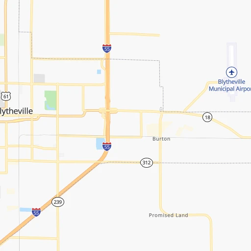
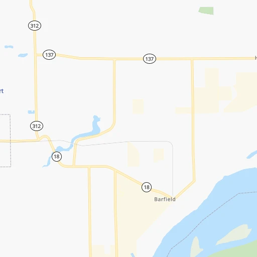
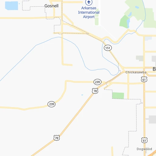
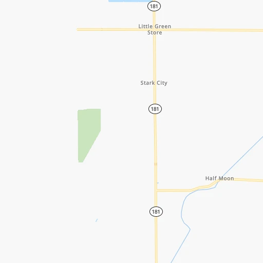
Roadmap (route) to go from Blytheville Municipal Airport to Hopkinsville detailed above, you can also see the course layout on the map.
While doing trip Blytheville Municipal (airport) - Hopkinsville by car, the calculated route ends at a distance , or more straight.
Distance and duration of the route between Blytheville Municipal (airport) and Hopkinsville
Calculation of distance and route from Hopkinsville to Blytheville Municipal (airport) :
233.1295.7 km4h41mn
Continue 0h2mn 1.8 kmTurn right onto East Main 0h2mn 2.1 kmKeep right 0h0mn 261 mKeep right 0h0mn 54 mTurn slight right onto North Porter Drive 0h0mn 175 mKeep left 0h18mn 30.6 kmKeep right and take MO U, MO H, MO J toward Caruthersville, Braggadocio 0h0mn 324 mTurn right onto MO U 0h6mn 5.4 kmTurn right 1h50mn 81.3 kmTurn slight right onto West Reelfoot Avenue 0h2mn 2.6 kmTurn left onto US 51 0h9mn 11.9 kmKeep right onto US 45W, US 51 and take US 45W North, US 51 North toward South Fulton 0h6mn 9.3 kmTurn left onto Chickasaw Drive 0h1mn 1.3 kmTurn sharp left onto Nolan Avenue 0h0mn 473 mTurn right 0h20mn 33.2 kmKeep right onto KY 80 and take KY 80 toward Fancy Farm, Mayfield 0h0mn 341 mTurn right onto West Broadway Street 0h21mn 21.1 kmKeep right onto Brewers Highway 0h26mn 27.1 kmKeep right onto KY 402 0h0mn 178 mTurn slight right onto US Highway 68 0h2mn 2.1 kmTurn left onto US 68, KY 80 1h53mn 63.9 kmTurn right onto Bethel Street 0h0mn 92 mArrive at destination 0h0mn 0 m
Travel from Blytheville Municipal (airport) (Kentucky) to a selection of major cities.
Distances from Blytheville Municipal Airport to biggest cities in Arkansas
- West Memphis,25,052 inhabitants.94 km
- Searcy,24,196 inhabitants.189 km
- Van Buren,23,081 inhabitants.412 km
Other major cities in country :
- Charlotte [NC], 827,097 inhabitants. 817 km
- Seattle [WA], 684,451 inhabitants. 2,965 km
- Denver [CO], 682,545 inhabitants. 1,396 km
- El Paso [TX], 681,124 inhabitants. 1,606 km
- Detroit [MI], 677,116 inhabitants. 921 km
- Boston [MA], 667,137 inhabitants. 1,766 km
- Memphis [TN], 655,770 inhabitants. 90 km
- New South Memphis [TN], 641,608 inhabitants. 97 km
- Portland [OR], 632,309 inhabitants. 2,944 km
- Oklahoma City [OK], 631,346 inhabitants. 697 km
- Las Vegas [NV], 623,747 inhabitants. 2,271 km
- Baltimore [MD], 621,849 inhabitants. 1,222 km
- Washington, D.C. [DC], 601,723 inhabitants. 1,177 km
- Milwaukee [WI], 600,155 inhabitants. 807 km
- South Boston [MA], 571,281 inhabitants. 1,766 km
- Albuquerque [NM], 559,121 inhabitants. 1,525 km
- Tucson [AZ], 531,641 inhabitants. 1,984 km
- Nashville [TN], 530,852 inhabitants. 275 km
- Fresno [CA], 520,052 inhabitants. 2,675 km
- Sacramento [CA], 490,712 inhabitants. 2,807 km
Route from Hopkinsville to major cities (United States).
- Distance Hopkinsville New York City1,244 km
- Distance Hopkinsville Los Angeles2,794 km
- Distance Hopkinsville Chicago555 km
- Distance Hopkinsville Brooklyn1,247 km
- Distance Hopkinsville Houston1,077 km
- Distance Hopkinsville Queens1,257 km
- Distance Hopkinsville Philadelphia1,128 km
- Distance Hopkinsville Phoenix2,263 km
- Distance Hopkinsville Manhattan1,250 km
- Distance Hopkinsville San Antonio1,317 km
- Distance Hopkinsville San Diego2,740 km
- Distance Hopkinsville The Bronx1,260 km
- Distance Hopkinsville Dallas964 km
- Distance Hopkinsville San Jose3,038 km
- Distance Hopkinsville Austin1,200 km
- Distance Hopkinsville Jacksonville906 km
- Distance Hopkinsville San Francisco3,076 km
- Distance Hopkinsville Columbus522 km
- Distance Hopkinsville Fort Worth1,009 km
- Distance Hopkinsville Indianapolis343 km
Nearest cities to Blytheville Municipal (airport) :
- Memphis, 655,770 inhabitants. 90 km
- New South Memphis, 641,608 inhabitants. 97 km
- St. Louis, 315,685 inhabitants. 301 km
- Little Rock, 197,992 inhabitants. 260 km
- Clarksville, 149,176 inhabitants. 231 km
- Evansville, 119,943 inhabitants. 304 km
- Tuscaloosa, 98,332 inhabitants. 368 km
- O'Fallon, 85,040 inhabitants. 329 km
- Jonesboro, 73,907 inhabitants. 80 km
- Franklin, 72,639 inhabitants. 267 km
- Jackson, 66,975 inhabitants. 99 km
- North Little Rock, 66,504 inhabitants. 257 km
- Saint Charles, 65,794 inhabitants. 322 km
- Conway, 64,980 inhabitants. 255 km
- Owensboro, 59,042 inhabitants. 317 km
- Bartlett, 58,579 inhabitants. 82 km
- Decatur, 55,437 inhabitants. 298 km
- Southaven, 52,589 inhabitants. 107 km
- Saint Peters, 52,575 inhabitants. 326 km
- Florissant, 52,268 inhabitants. 320 km
- Collierville, 48,863 inhabitants. 101 km
- Chesterfield, 47,864 inhabitants. 310 km
- Pine Bluff, 44,772 inhabitants. 275 km
- Jefferson City, 43,169 inhabitants. 359 km
- Belleville, 42,034 inhabitants. 287 km
- Florence, 40,026 inhabitants. 233 km
- Cape Girardeau, 39,462 inhabitants. 155 km
- Germantown, 39,240 inhabitants. 95 km
- Columbia, 36,800 inhabitants. 255 km
- Oakville, 36,143 inhabitants. 285 km
- Spring Hill, 36,055 inhabitants. 263 km
- Olive Branch, 36,010 inhabitants. 109 km
- Wildwood, 35,899 inhabitants. 303 km
- East Florence, 35,733 inhabitants. 235 km
- Tupelo, 35,680 inhabitants. 214 km
- Wentzville, 35,603 inhabitants. 332 km
- University City, 35,058 inhabitants. 305 km
- Benton, 34,177 inhabitants. 294 km
- Hopkinsville, 32,205 inhabitants. 234 km
- Greenville, 32,156 inhabitants. 303 km
- Ballwin, 30,577 inhabitants. 302 km
- Sherwood, 30,517 inhabitants. 251 km
- Upper Alton, 29,251 inhabitants. 332 km
- Granite City, 29,054 inhabitants. 309 km
- O'Fallon, 29,002 inhabitants. 295 km
- Henderson, 28,890 inhabitants. 290 km
- Jacksonville, 28,643 inhabitants. 239 km
- Mehlville, 28,380 inhabitants. 289 km
- Paragould, 27,900 inhabitants. 61 km
- Kirkwood, 27,750 inhabitants. 299 km
Location Blytheville Municipal (airport) (Arkansas) :
| Country flag |  |
| Location | Blytheville Municipal (airport) |
| State | Arkansas |
| County | Mississippi County |
| Country | United States |
| Country code / ISO 2 | US |
| Latitude | 35.9403500 |
| Longitude | -89.8306400 |
| Altitude | 78 meters |
| Time zone | America/Chicago |
Location Hopkinsville (Kentucky) :
| Country flag | |
| Location | Hopkinsville |
| State | Kentucky |
| County | Christian County |
| Country | United States |
| Country code / ISO 2 | US |
| Latitude | 36.8656100 |
| Longitude | -87.4911700 |
| Altitude | 161 meters |
| Time zone | America/Chicago |


