

How to get from Robinson Private (airport) (Alabama) to Spring Hill (Tennessee)
Calculate route from Robinson Private (airport) (Alabama, United States) to Spring Hill (Tennessee, United States).
The flight distance (as the crow flies) between Robinson Private (airport) and Spring Hill is 136.3 km.
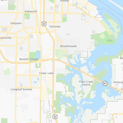
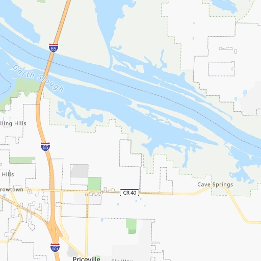
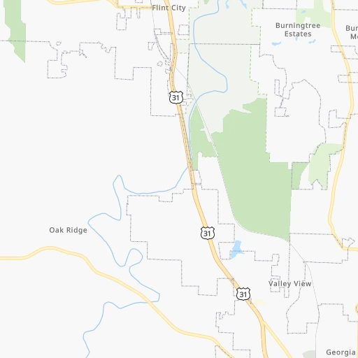
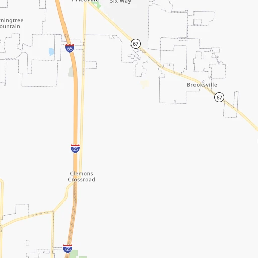
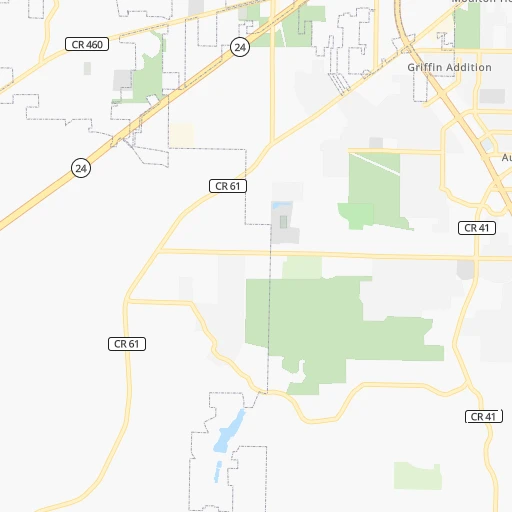
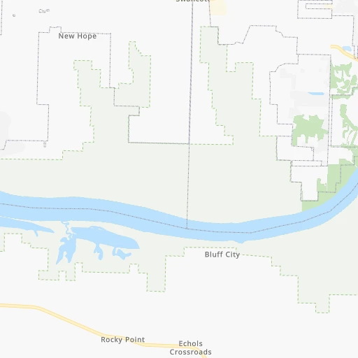
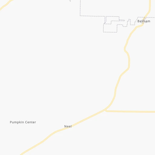
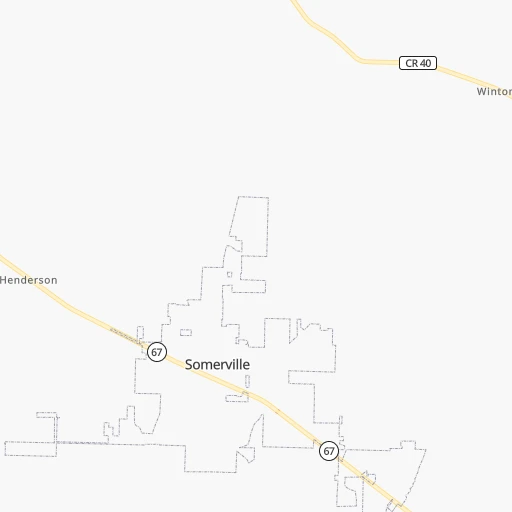
Roadmap (route) to go from Robinson Private Airport to Spring Hill detailed above, you can also see the course layout on the map.
While doing trip Robinson Private (airport) - Spring Hill by car, the calculated route ends at a distance , or more straight.
Distance and duration of the route between Robinson Private (airport) and Spring Hill
Calculation of distance and route from Spring Hill to Robinson Private (airport) :
136.3148.1 km2h30mn
Continue onto AL 67 0h1mn 979 mKeep right and take I-65 North toward Huntsville, Nashville 1h22mn 138.9 kmKeep right and take TN 396 toward Saturn Parkway, Columbia, Spring Hill 0h4mn 5.0 kmKeep right and drive toward Kedron Road 0h1mn 620 mTurn right onto Kedron Road 0h2mn 1.9 kmTurn sharp right onto Main Street 0h1mn 645 mArrive at destination 0h0mn 0 m
Travel from Robinson Private (airport) (Tennessee) to a selection of major cities.
Distances from Robinson Private Airport to biggest cities in Alabama
- Homewood,25,708 inhabitants.118 km
- Athens,24,966 inhabitants.32 km
- Daphne,24,896 inhabitants.447 km
- Northport,24,772 inhabitants.157 km
- Dixiana,22,940 inhabitants.90 km
- Pelham,22,885 inhabitants.138 km
- Prichard,22,351 inhabitants.436 km
- Anniston,22,347 inhabitants.137 km
- Albertville,21,462 inhabitants.69 km
- Oxford,21,249 inhabitants.141 km
- Trussville,21,023 inhabitants.104 km
- Mountain Brook,20,691 inhabitants.115 km
Other major cities in country :
- Charlotte [NC], 827,097 inhabitants. 558 km
- Seattle [WA], 684,451 inhabitants. 3,274 km
- Denver [CO], 682,545 inhabitants. 1,703 km
- El Paso [TX], 681,124 inhabitants. 1,849 km
- Detroit [MI], 677,116 inhabitants. 931 km
- Boston [MA], 667,137 inhabitants. 1,629 km
- Memphis [TN], 655,770 inhabitants. 296 km
- New South Memphis [TN], 641,608 inhabitants. 296 km
- Portland [OR], 632,309 inhabitants. 3,254 km
- Oklahoma City [OK], 631,346 inhabitants. 974 km
- Las Vegas [NV], 623,747 inhabitants. 2,562 km
- Baltimore [MD], 621,849 inhabitants. 1,057 km
- Washington, D.C. [DC], 601,723 inhabitants. 1,005 km
- Milwaukee [WI], 600,155 inhabitants. 952 km
- South Boston [MA], 571,281 inhabitants. 1,628 km
- Albuquerque [NM], 559,121 inhabitants. 1,804 km
- Tucson [AZ], 531,641 inhabitants. 2,243 km
- Nashville [TN], 530,852 inhabitants. 183 km
- Fresno [CA], 520,052 inhabitants. 2,970 km
- Sacramento [CA], 490,712 inhabitants. 3,108 km
Route from Spring Hill to major cities (United States).
- Distance Spring Hill New York City1,256 km
- Distance Spring Hill Los Angeles2,853 km
- Distance Spring Hill Chicago682 km
- Distance Spring Hill Brooklyn1,258 km
- Distance Spring Hill Houston1,032 km
- Distance Spring Hill Queens1,268 km
- Distance Spring Hill Philadelphia1,134 km
- Distance Spring Hill Phoenix2,312 km
- Distance Spring Hill Manhattan1,262 km
- Distance Spring Hill San Antonio1,292 km
- Distance Spring Hill San Diego2,792 km
- Distance Spring Hill The Bronx1,273 km
- Distance Spring Hill Dallas966 km
- Distance Spring Hill San Jose3,114 km
- Distance Spring Hill Austin1,179 km
- Distance Spring Hill Jacksonville778 km
- Distance Spring Hill San Francisco3,154 km
- Distance Spring Hill Columbus582 km
- Distance Spring Hill Fort Worth1,013 km
- Distance Spring Hill Indianapolis452 km
Nearest cities to Robinson Private (airport) :
- Nashville, 530,852 inhabitants. 183 km
- Atlanta, 463,878 inhabitants. 247 km
- Birmingham, 212,461 inhabitants. 112 km
- Montgomery, 200,602 inhabitants. 247 km
- Columbus, 200,579 inhabitants. 290 km
- Huntsville, 190,582 inhabitants. 36 km
- Knoxville, 185,291 inhabitants. 314 km
- Chattanooga, 176,588 inhabitants. 156 km
- East Chattanooga, 154,024 inhabitants. 162 km
- Clarksville, 149,176 inhabitants. 227 km
- Murfreesboro, 126,118 inhabitants. 154 km
- Sandy Springs, 105,330 inhabitants. 241 km
- Tuscaloosa, 98,332 inhabitants. 159 km
- Roswell, 94,501 inhabitants. 240 km
- Hoover, 84,848 inhabitants. 125 km
- Johns Creek, 83,335 inhabitants. 254 km
- Albany, 74,843 inhabitants. 416 km
- Franklin, 72,639 inhabitants. 156 km
- Jackson, 66,975 inhabitants. 213 km
- Alpharetta, 63,693 inhabitants. 244 km
- Bowling Green, 63,616 inhabitants. 277 km
- Auburn, 62,059 inhabitants. 250 km
- Marietta, 59,067 inhabitants. 225 km
- Bartlett, 58,579 inhabitants. 282 km
- Smyrna, 56,146 inhabitants. 231 km
- Hendersonville, 56,018 inhabitants. 200 km
- Decatur, 55,437 inhabitants. 12 km
- Brookhaven, 51,910 inhabitants. 247 km
- Stonecrest, 50,000 inhabitants. 270 km
- Collierville, 48,863 inhabitants. 260 km
- Dunwoody, 48,733 inhabitants. 244 km
- Madison, 46,962 inhabitants. 24 km
- Smyrna, 46,607 inhabitants. 166 km
- Cleveland, 43,898 inhabitants. 198 km
- Brentwood, 41,763 inhabitants. 168 km
- Peachtree Corners, 40,978 inhabitants. 254 km
- North Atlanta, 40,456 inhabitants. 247 km
- Florence, 40,026 inhabitants. 78 km
- Meridian, 39,661 inhabitants. 293 km
- Cape Girardeau, 39,462 inhabitants. 389 km
- Germantown, 39,240 inhabitants. 274 km
- Phenix City, 37,570 inhabitants. 288 km
- Milton, 37,547 inhabitants. 243 km
- Newnan, 37,291 inhabitants. 232 km
- Mableton, 37,115 inhabitants. 227 km
- Columbia, 36,800 inhabitants. 122 km
- Rome, 36,323 inhabitants. 162 km
- Gadsden, 36,084 inhabitants. 100 km
- Spring Hill, 36,055 inhabitants. 137 km
- Olive Branch, 36,010 inhabitants. 273 km
Location Robinson Private (airport) (Alabama) :
| Country flag |  |
| Location | Robinson Private (airport) |
| State | Alabama |
| County | Morgan County |
| Country | United States |
| Country code / ISO 2 | US |
| Latitude | 34.5250900 |
| Longitude | -86.8958400 |
| Altitude | 189 meters |
| Time zone | America/Chicago |
Location Spring Hill (Tennessee) :
| Country flag | |
| Location | Spring Hill |
| State | Tennessee |
| County | Maury County |
| Country | United States |
| Country code / ISO 2 | US |
| Latitude | 35.7511800 |
| Longitude | -86.9300000 |
| Altitude | 229 meters |
| Time zone | America/Chicago |

