
How to get from Lowe AHP (airport) (Alabama) to Gainesville (Georgia)
Calculate route from Lowe AHP (airport) (Alabama, United States) to Gainesville (Georgia, United States).
The flight distance (as the crow flies) between Lowe AHP (airport) and Gainesville is 373.7 km.
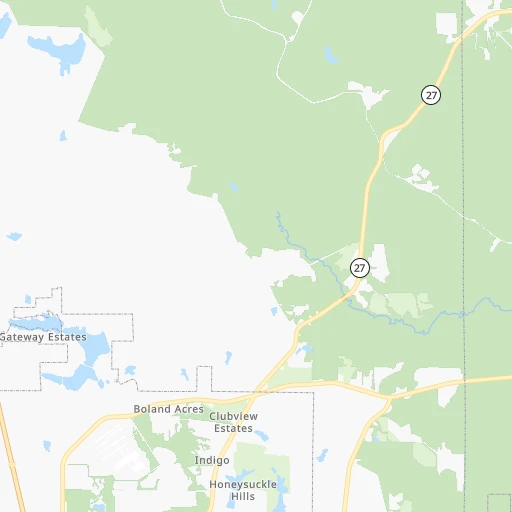
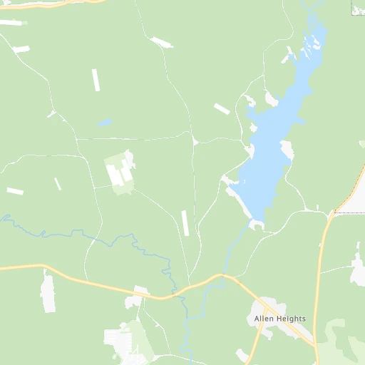
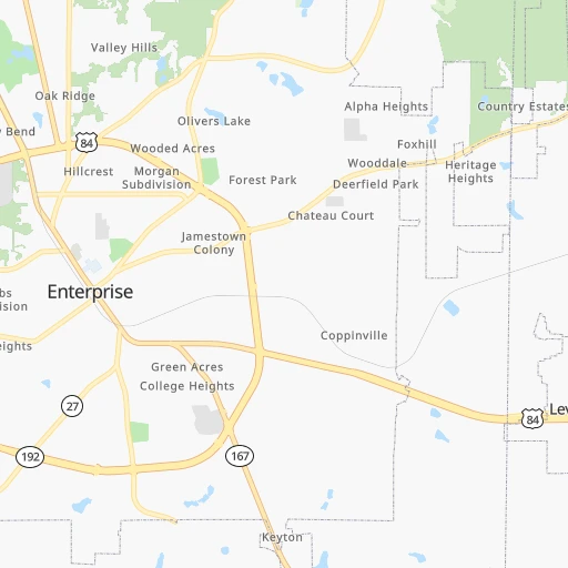
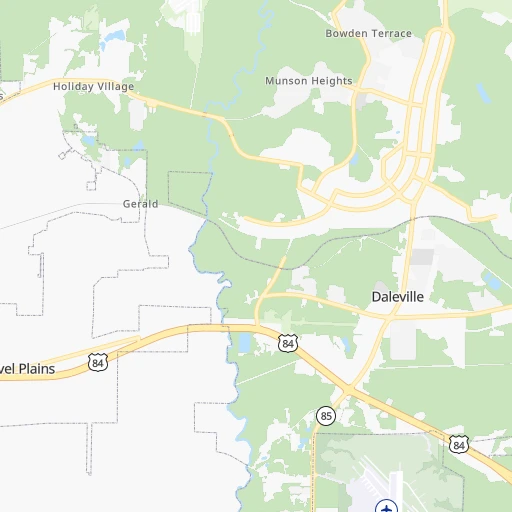
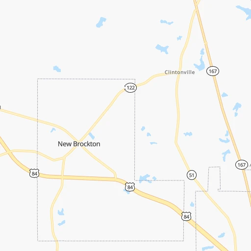
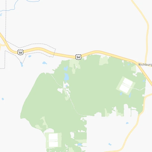
Roadmap (route) to go from Lowe AHP Airport to Gainesville detailed above, you can also see the course layout on the map.
While doing trip Lowe AHP (airport) - Gainesville by car, the calculated route ends at a distance , or more straight.
Distance and duration of the route between Lowe AHP (airport) and Gainesville
Calculation of distance and route from Gainesville to Lowe AHP (airport) :
373.7439.4 km5h25mn
Continue 0h0mn 240 mContinue onto Meriwether Road 0h1mn 264 mTurn right 0h1mn 279 mTurn left 0h1mn 641 mTurn sharp right onto Rucker Boulevard 0h7mn 6.8 kmKeep right 0h3mn 3.2 kmKeep right onto AL 167 0h0mn 82 mTurn slight right onto Neal Metcalf Road 0h22mn 24.0 kmTurn right onto AL 125 0h19mn 19.5 kmTurn left onto US 231 and take US 231 North toward Brundidge 0h2mn 2.4 kmKeep right 0h0mn 402 mContinue onto AL 93 0h10mn 10.3 kmTurn right onto AL 201 0h2mn 2.5 kmTurn right onto US 29 0h8mn 8.8 kmTurn left onto US 29 1h33mn 36.4 kmTurn right onto Martin Luther King Boulevard South 1h33mn 35.6 kmTurn right onto East Martin Luther King Highway 0h21mn 24.0 kmKeep right onto US 29 and take I-85 North, US 29 North toward Atlanta 2h51mn 182.2 kmKeep left onto Northeast Expressway and take I 85 North toward Greenville 0h3mn 4.3 kmKeep left onto Northeast Expressway 0h8mn 11.5 kmKeep left onto I-85 Express Lane 0h7mn 12.0 kmKeep right and take GA 120, I 85 toward Steve Reynolds Boulevard, Pleasant Hill Road, Boggs Road, Duluth Highway, Greenville SC 0h9mn 15.8 kmKeep right onto I 85 0h1mn 1.9 kmKeep left onto Lanier Parkway and take I 985 North toward Gainesville 0h19mn 31.8 kmKeep right and take GA 60, GA 53 toward Candler Road, Gainesville 0h0mn 410 mKeep left and take GA 60 North, GA 53 Connector North toward Georgia Department of Driver Services 0h0mn 80 mTurn left onto Queen City Parkway 0h3mn 3.4 kmTurn sharp right onto Jesse Jewell Parkway Southwest 0h0mn 185 mTurn slight right onto Jesse Jewell Parkway Southwest 0h0mn 504 mTurn right onto Green Street 0h0mn 12 mArrive at destination 0h0mn 0 m
Travel from Lowe AHP (airport) (Georgia) to a selection of major cities.
Distances from Lowe AHP Airport to biggest cities in Alabama
- Homewood,25,708 inhabitants.256 km
- Athens,24,966 inhabitants.401 km
- Daphne,24,896 inhabitants.222 km
- Northport,24,772 inhabitants.271 km
- Dixiana,22,940 inhabitants.279 km
- Pelham,22,885 inhabitants.237 km
- Prichard,22,351 inhabitants.232 km
- Anniston,22,347 inhabitants.257 km
- Albertville,21,462 inhabitants.328 km
- Oxford,21,249 inhabitants.252 km
- Trussville,21,023 inhabitants.265 km
- Mountain Brook,20,691 inhabitants.257 km
Other major cities in country :
- Charlotte [NC], 827,097 inhabitants. 628 km
- Seattle [WA], 684,451 inhabitants. 3,580 km
- Denver [CO], 682,545 inhabitants. 1,971 km
- El Paso [TX], 681,124 inhabitants. 1,965 km
- Detroit [MI], 677,116 inhabitants. 1,246 km
- Boston [MA], 667,137 inhabitants. 1,788 km
- Memphis [TN], 655,770 inhabitants. 582 km
- New South Memphis [TN], 641,608 inhabitants. 578 km
- Portland [OR], 632,309 inhabitants. 3,544 km
- Oklahoma City [OK], 631,346 inhabitants. 1,185 km
- Las Vegas [NV], 623,747 inhabitants. 2,761 km
- Baltimore [MD], 621,849 inhabitants. 1,211 km
- Washington, D.C. [DC], 601,723 inhabitants. 1,154 km
- Milwaukee [WI], 600,155 inhabitants. 1,315 km
- South Boston [MA], 571,281 inhabitants. 1,787 km
- Albuquerque [NM], 559,121 inhabitants. 1,986 km
- Tucson [AZ], 531,641 inhabitants. 2,379 km
- Nashville [TN], 530,852 inhabitants. 545 km
- Fresno [CA], 520,052 inhabitants. 3,178 km
- Sacramento [CA], 490,712 inhabitants. 3,336 km
Route from Gainesville to major cities (United States).
- Distance Gainesville New York City1,122 km
- Distance Gainesville Los Angeles3,155 km
- Distance Gainesville Chicago905 km
- Distance Gainesville Brooklyn1,122 km
- Distance Gainesville Houston1,199 km
- Distance Gainesville Queens1,131 km
- Distance Gainesville Philadelphia993 km
- Distance Gainesville Phoenix2,604 km
- Distance Gainesville Manhattan1,129 km
- Distance Gainesville San Antonio1,487 km
- Distance Gainesville San Diego3,086 km
- Distance Gainesville The Bronx1,141 km
- Distance Gainesville Dallas1,215 km
- Distance Gainesville San Jose3,430 km
- Distance Gainesville Austin1,383 km
- Distance Gainesville Jacksonville486 km
- Distance Gainesville San Francisco3,471 km
- Distance Gainesville Columbus635 km
- Distance Gainesville Fort Worth1,264 km
- Distance Gainesville Indianapolis643 km
Nearest cities to Lowe AHP (airport) :
- Atlanta, 463,878 inhabitants. 296 km
- Birmingham, 212,461 inhabitants. 261 km
- Montgomery, 200,602 inhabitants. 125 km
- Columbus, 200,579 inhabitants. 143 km
- Mobile, 194,288 inhabitants. 231 km
- Tallahassee, 189,907 inhabitants. 173 km
- Athens, 116,714 inhabitants. 366 km
- Sandy Springs, 105,330 inhabitants. 314 km
- Tuscaloosa, 98,332 inhabitants. 269 km
- Roswell, 94,501 inhabitants. 325 km
- Macon, 91,351 inhabitants. 260 km
- Hoover, 84,848 inhabitants. 250 km
- Johns Creek, 83,335 inhabitants. 332 km
- Albany, 74,843 inhabitants. 153 km
- Warner Robins, 73,490 inhabitants. 245 km
- Dothan, 68,567 inhabitants. 37 km
- Alpharetta, 63,693 inhabitants. 333 km
- Auburn, 62,059 inhabitants. 143 km
- Marietta, 59,067 inhabitants. 311 km
- Smyrna, 56,146 inhabitants. 305 km
- Valdosta, 55,724 inhabitants. 242 km
- East Pensacola Heights, 54,104 inhabitants. 171 km
- Pensacola, 53,193 inhabitants. 174 km
- Brookhaven, 51,910 inhabitants. 309 km
- Stonecrest, 50,000 inhabitants. 303 km
- Dunwoody, 48,733 inhabitants. 318 km
- Peachtree Corners, 40,978 inhabitants. 325 km
- North Atlanta, 40,456 inhabitants. 310 km
- Meridian, 39,661 inhabitants. 301 km
- Gainesville, 38,712 inhabitants. 374 km
- Panama City, 38,286 inhabitants. 133 km
- Phenix City, 37,570 inhabitants. 143 km
- Milton, 37,547 inhabitants. 338 km
- Newnan, 37,291 inhabitants. 243 km
- Mableton, 37,115 inhabitants. 296 km
- Rome, 36,323 inhabitants. 328 km
- Gadsden, 36,084 inhabitants. 298 km
- Tupelo, 35,680 inhabitants. 426 km
- East Point, 35,467 inhabitants. 287 km
- Prattville, 35,420 inhabitants. 141 km
- Peachtree City, 35,240 inhabitants. 252 km
- Vestavia Hills, 34,174 inhabitants. 253 km
- Kennesaw, 33,584 inhabitants. 316 km
- Redan, 33,015 inhabitants. 307 km
- Douglasville, 32,897 inhabitants. 283 km
- Alabaster, 32,707 inhabitants. 234 km
- Navarre, 31,378 inhabitants. 150 km
- Lawrenceville, 30,493 inhabitants. 334 km
- Woodstock, 29,898 inhabitants. 327 km
- LaGrange, 29,588 inhabitants. 200 km
Location Lowe AHP (airport) (Alabama) :
| Country flag |  |
| Location | Lowe AHP (airport) |
| State | Alabama |
| County | Dale County |
| Country | United States |
| Country code / ISO 2 | US |
| Latitude | 31.3501700 |
| Longitude | -85.7499400 |
| Altitude | 66 meters |
| Time zone | America/Chicago |
Location Gainesville (Georgia) :
| Country flag | |
| Location | Gainesville |
| State | Georgia |
| County | Hall County |
| Country | United States |
| Country code / ISO 2 | US |
| Latitude | 34.2978800 |
| Longitude | -83.8240700 |
| Altitude | 381 meters |
| Time zone | America/New_York |


