

How to get from Chilton County (airport) (Alabama) to Spring Hill (Tennessee)
Calculate route from Chilton County (airport) (Alabama, United States) to Spring Hill (Tennessee, United States).
The flight distance (as the crow flies) between Chilton County (airport) and Spring Hill is 323.8 km.
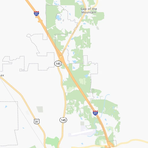
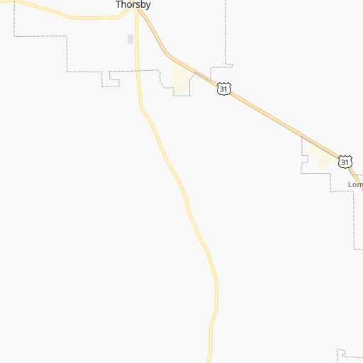
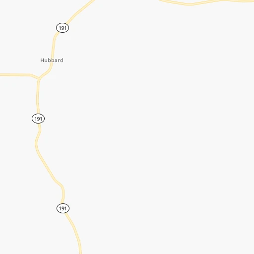
Roadmap (route) to go from Chilton County Airport to Spring Hill detailed above, you can also see the course layout on the map.
While doing trip Chilton County (airport) - Spring Hill by car, the calculated route ends at a distance , or more straight.
Distance and duration of the route between Chilton County (airport) and Spring Hill
Calculation of distance and route from Spring Hill to Chilton County (airport) :
323.8348.8 km4h34mn
Continue onto Airport Road 0h2mn 987 mTurn right 0h1mn 574 mTurn sharp right onto Lay Dam Road 0h4mn 4.7 kmTurn left 3h20mn 334.3 kmKeep right and take TN 396 toward Saturn Parkway, Columbia, Spring Hill 0h4mn 5.0 kmKeep right and drive toward Kedron Road 0h1mn 620 mTurn right onto Kedron Road 0h2mn 1.9 kmTurn sharp right onto Main Street 0h1mn 645 mArrive at destination 0h0mn 0 m
Travel from Chilton County (airport) (Tennessee) to a selection of major cities.
Distances from Chilton County Airport to biggest cities in Alabama
- Homewood,25,708 inhabitants.72 km
- Athens,24,966 inhabitants.220 km
- Daphne,24,896 inhabitants.278 km
- Northport,24,772 inhabitants.100 km
- Dixiana,22,940 inhabitants.99 km
- Pelham,22,885 inhabitants.52 km
- Prichard,22,351 inhabitants.273 km
- Anniston,22,347 inhabitants.116 km
- Albertville,21,462 inhabitants.162 km
- Oxford,21,249 inhabitants.112 km
- Trussville,21,023 inhabitants.86 km
- Mountain Brook,20,691 inhabitants.74 km
Other major cities in country :
- Charlotte [NC], 827,097 inhabitants. 594 km
- Seattle [WA], 684,451 inhabitants. 3,410 km
- Denver [CO], 682,545 inhabitants. 1,814 km
- El Paso [TX], 681,124 inhabitants. 1,871 km
- Detroit [MI], 677,116 inhabitants. 1,101 km
- Boston [MA], 667,137 inhabitants. 1,728 km
- Memphis [TN], 655,770 inhabitants. 408 km
- New South Memphis [TN], 641,608 inhabitants. 404 km
- Portland [OR], 632,309 inhabitants. 3,380 km
- Oklahoma City [OK], 631,346 inhabitants. 1,045 km
- Las Vegas [NV], 623,747 inhabitants. 2,633 km
- Baltimore [MD], 621,849 inhabitants. 1,149 km
- Washington, D.C. [DC], 601,723 inhabitants. 1,094 km
- Milwaukee [WI], 600,155 inhabitants. 1,140 km
- South Boston [MA], 571,281 inhabitants. 1,727 km
- Albuquerque [NM], 559,121 inhabitants. 1,864 km
- Tucson [AZ], 531,641 inhabitants. 2,278 km
- Nashville [TN], 530,852 inhabitants. 370 km
- Fresno [CA], 520,052 inhabitants. 3,047 km
- Sacramento [CA], 490,712 inhabitants. 3,197 km
Route from Spring Hill to major cities (United States).
- Distance Spring Hill New York City1,256 km
- Distance Spring Hill Los Angeles2,853 km
- Distance Spring Hill Chicago682 km
- Distance Spring Hill Brooklyn1,258 km
- Distance Spring Hill Houston1,032 km
- Distance Spring Hill Queens1,268 km
- Distance Spring Hill Philadelphia1,134 km
- Distance Spring Hill Phoenix2,312 km
- Distance Spring Hill Manhattan1,262 km
- Distance Spring Hill San Antonio1,292 km
- Distance Spring Hill San Diego2,792 km
- Distance Spring Hill The Bronx1,273 km
- Distance Spring Hill Dallas966 km
- Distance Spring Hill San Jose3,114 km
- Distance Spring Hill Austin1,179 km
- Distance Spring Hill Jacksonville778 km
- Distance Spring Hill San Francisco3,154 km
- Distance Spring Hill Columbus582 km
- Distance Spring Hill Fort Worth1,013 km
- Distance Spring Hill Indianapolis452 km
Nearest cities to Chilton County (airport) :
- Atlanta, 463,878 inhabitants. 230 km
- Birmingham, 212,461 inhabitants. 77 km
- Montgomery, 200,602 inhabitants. 61 km
- Columbus, 200,579 inhabitants. 158 km
- Mobile, 194,288 inhabitants. 276 km
- Huntsville, 190,582 inhabitants. 209 km
- Tallahassee, 189,907 inhabitants. 347 km
- Chattanooga, 176,588 inhabitants. 272 km
- East Chattanooga, 154,024 inhabitants. 277 km
- Murfreesboro, 126,118 inhabitants. 334 km
- Sandy Springs, 105,330 inhabitants. 239 km
- Tuscaloosa, 98,332 inhabitants. 98 km
- Roswell, 94,501 inhabitants. 246 km
- Macon, 91,351 inhabitants. 278 km
- Hoover, 84,848 inhabitants. 65 km
- Johns Creek, 83,335 inhabitants. 260 km
- Albany, 74,843 inhabitants. 271 km
- Warner Robins, 73,490 inhabitants. 281 km
- Gulfport, 71,856 inhabitants. 363 km
- West Gulfport, 71,329 inhabitants. 360 km
- Dothan, 68,567 inhabitants. 215 km
- Jackson, 66,975 inhabitants. 369 km
- Alpharetta, 63,693 inhabitants. 255 km
- Auburn, 62,059 inhabitants. 109 km
- Marietta, 59,067 inhabitants. 227 km
- Smyrna, 56,146 inhabitants. 226 km
- Decatur, 55,437 inhabitants. 199 km
- East Pensacola Heights, 54,104 inhabitants. 275 km
- Pensacola, 53,193 inhabitants. 276 km
- Brookhaven, 51,910 inhabitants. 239 km
- Stonecrest, 50,000 inhabitants. 249 km
- Dunwoody, 48,733 inhabitants. 244 km
- Madison, 46,962 inhabitants. 206 km
- Hattiesburg, 46,805 inhabitants. 304 km
- Biloxi, 45,637 inhabitants. 348 km
- Cleveland, 43,898 inhabitants. 303 km
- Peachtree Corners, 40,978 inhabitants. 255 km
- North Atlanta, 40,456 inhabitants. 240 km
- Florence, 40,026 inhabitants. 238 km
- Meridian, 39,661 inhabitants. 204 km
- Gainesville, 38,712 inhabitants. 305 km
- Panama City, 38,286 inhabitants. 313 km
- Phenix City, 37,570 inhabitants. 157 km
- Milton, 37,547 inhabitants. 258 km
- Newnan, 37,291 inhabitants. 179 km
- Mableton, 37,115 inhabitants. 217 km
- Columbia, 36,800 inhabitants. 310 km
- Rome, 36,323 inhabitants. 206 km
- Gadsden, 36,084 inhabitants. 141 km
- Spring Hill, 36,055 inhabitants. 324 km
Location Chilton County (airport) (Alabama) :
| Country flag |  |
| Location | Chilton County (airport) |
| State | Alabama |
| County | Chilton County |
| Country | United States |
| Country code / ISO 2 | US |
| Latitude | 32.8494600 |
| Longitude | -86.6098400 |
| Altitude | 172 meters |
| Time zone | America/Chicago |
Location Spring Hill (Tennessee) :
| Country flag | |
| Location | Spring Hill |
| State | Tennessee |
| County | Maury County |
| Country | United States |
| Country code / ISO 2 | US |
| Latitude | 35.7511800 |
| Longitude | -86.9300000 |
| Altitude | 229 meters |
| Time zone | America/Chicago |

