
How to get from East Florence (Alabama) to Decatur (Alabama)
Calculate route from East Florence (Alabama, United States) to Decatur (Alabama, United States).
The flight distance (as the crow flies) between East Florence and Decatur is 64.9 km.
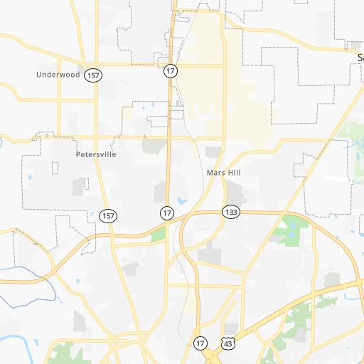
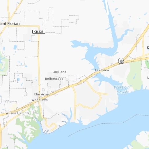
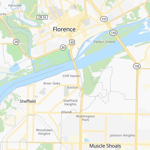
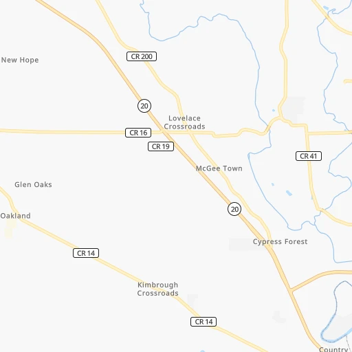
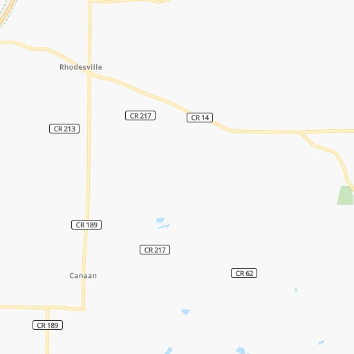
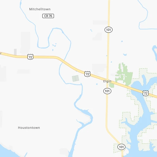
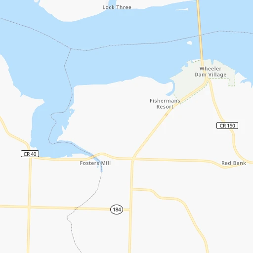
Roadmap (route) to go from East Florence to Decatur detailed above, you can also see the course layout on the map.
While doing trip East Florence - Decatur by car, the calculated route ends at a distance , or more straight.
Distance and duration of the route between East Florence and Decatur
Calculation of distance and route from Decatur to East Florence :
64.976.7 km1h56mn
Continue onto Midway Street 0h0mn 18 mTurn right onto Huntsville Road 0h0mn 114 mTurn left onto Enterprise Street 0h1mn 508 mTurn right onto Veterans Drive 0h0mn 333 mTurn left onto Ironside Street 0h0mn 256 mTurn left onto AL 133, AL 157 0h10mn 12.0 kmTurn left onto Wheeler Highway 0h2mn 3.6 kmKeep left onto Wheeler Highway and drive toward Decatur, Joe Wheeler State Park 1h38mn 56.7 kmTurn slight right onto Wilson Street Northwest 0h1mn 608 mTurn sharp right onto Davis Street Northwest 0h0mn 232 mKeep left onto Vine Street Northwest 0h0mn 228 mContinue onto Vine Street 0h0mn 20 mContinue onto Vine Street Northwest 0h1mn 895 mTurn right onto Railroad Street Northwest 0h1mn 1.0 kmTurn right onto 4th Avenue Northeast 0h0mn 117 mTurn right onto Lee Street Northeast 0h0mn 85 mTurn right 0h0mn 25 mArrive at destination 0h0mn 0 m
Travel from East Florence (Alabama) to a selection of major cities.
Distances from East Florence to biggest cities in Alabama
- Athens,24,966 inhabitants.62 km
- Daphne,24,896 inhabitants.469 km
- Northport,24,772 inhabitants.176 km
- Dixiana,22,940 inhabitants.150 km
- Pelham,22,885 inhabitants.186 km
- Prichard,22,351 inhabitants.455 km
- Anniston,22,347 inhabitants.211 km
- Albertville,21,462 inhabitants.145 km
- Oxford,21,249 inhabitants.214 km
- Trussville,21,023 inhabitants.163 km
- Mountain Brook,20,691 inhabitants.167 km
Other major cities in country :
- Charlotte [NC], 827,097 inhabitants. 622 km
- Seattle [WA], 684,451 inhabitants. 3,199 km
- Denver [CO], 682,545 inhabitants. 1,627 km
- El Paso [TX], 681,124 inhabitants. 1,783 km
- Detroit [MI], 677,116 inhabitants. 928 km
- Boston [MA], 667,137 inhabitants. 1,666 km
- Memphis [TN], 655,770 inhabitants. 222 km
- New South Memphis [TN], 641,608 inhabitants. 222 km
- Portland [OR], 632,309 inhabitants. 3,178 km
- Oklahoma City [OK], 631,346 inhabitants. 901 km
- Las Vegas [NV], 623,747 inhabitants. 2,488 km
- Baltimore [MD], 621,849 inhabitants. 1,099 km
- Washington, D.C. [DC], 601,723 inhabitants. 1,048 km
- Milwaukee [WI], 600,155 inhabitants. 916 km
- South Boston [MA], 571,281 inhabitants. 1,666 km
- Albuquerque [NM], 559,121 inhabitants. 1,731 km
- Tucson [AZ], 531,641 inhabitants. 2,175 km
- Nashville [TN], 530,852 inhabitants. 170 km
- Fresno [CA], 520,052 inhabitants. 2,896 km
- Sacramento [CA], 490,712 inhabitants. 3,033 km
Route from Decatur to major cities (United States).
- Distance Decatur New York City1,328 km
- Distance Decatur Los Angeles2,863 km
- Distance Decatur Chicago809 km
- Distance Decatur Brooklyn1,330 km
- Distance Decatur Houston955 km
- Distance Decatur Queens1,340 km
- Distance Decatur Philadelphia1,203 km
- Distance Decatur Phoenix2,312 km
- Distance Decatur Manhattan1,335 km
- Distance Decatur San Antonio1,229 km
- Distance Decatur San Diego2,794 km
- Distance Decatur The Bronx1,346 km
- Distance Decatur Dallas932 km
- Distance Decatur San Jose3,142 km
- Distance Decatur Austin1,119 km
- Distance Decatur Jacksonville690 km
- Distance Decatur San Francisco3,184 km
- Distance Decatur Columbus693 km
- Distance Decatur Fort Worth980 km
- Distance Decatur Indianapolis579 km
Nearest cities to East Florence :
- Memphis, 655,770 inhabitants. 222 km
- New South Memphis, 641,608 inhabitants. 222 km
- Nashville, 530,852 inhabitants. 170 km
- Birmingham, 212,461 inhabitants. 163 km
- Montgomery, 200,602 inhabitants. 299 km
- Columbus, 200,579 inhabitants. 359 km
- Huntsville, 190,582 inhabitants. 98 km
- Chattanooga, 176,588 inhabitants. 215 km
- Jackson, 170,674 inhabitants. 365 km
- East Chattanooga, 154,024 inhabitants. 221 km
- Clarksville, 149,176 inhabitants. 193 km
- Murfreesboro, 126,118 inhabitants. 162 km
- Tuscaloosa, 98,332 inhabitants. 178 km
- Hoover, 84,848 inhabitants. 174 km
- Franklin, 72,639 inhabitants. 143 km
- Jackson, 66,975 inhabitants. 139 km
- Bowling Green, 63,616 inhabitants. 266 km
- Auburn, 62,059 inhabitants. 317 km
- Owensboro, 59,042 inhabitants. 334 km
- Bartlett, 58,579 inhabitants. 208 km
- Hendersonville, 56,018 inhabitants. 191 km
- Decatur, 55,437 inhabitants. 65 km
- Southaven, 52,589 inhabitants. 217 km
- Collierville, 48,863 inhabitants. 186 km
- Madison, 46,962 inhabitants. 83 km
- Smyrna, 46,607 inhabitants. 166 km
- Cleveland, 43,898 inhabitants. 256 km
- Brentwood, 41,763 inhabitants. 157 km
- Florence, 40,026 inhabitants. 3 km
- Meridian, 39,661 inhabitants. 289 km
- Cape Girardeau, 39,462 inhabitants. 325 km
- Germantown, 39,240 inhabitants. 200 km
- Phenix City, 37,570 inhabitants. 358 km
- Newnan, 37,291 inhabitants. 307 km
- Columbia, 36,800 inhabitants. 106 km
- Rome, 36,323 inhabitants. 236 km
- Gadsden, 36,084 inhabitants. 175 km
- Spring Hill, 36,055 inhabitants. 124 km
- Olive Branch, 36,010 inhabitants. 200 km
- East Florence, 35,733 inhabitants. 0 km
- Tupelo, 35,680 inhabitants. 115 km
- Prattville, 35,420 inhabitants. 283 km
- La Vergne, 34,794 inhabitants. 166 km
- Gallatin, 34,334 inhabitants. 207 km
- Vestavia Hills, 34,174 inhabitants. 171 km
- Dalton, 33,853 inhabitants. 245 km
- Douglasville, 32,897 inhabitants. 292 km
- Alabaster, 32,707 inhabitants. 190 km
- Hopkinsville, 32,205 inhabitants. 229 km
- Cookeville, 32,113 inhabitants. 246 km
Location East Florence (Alabama) :
| Country flag |  |
| Location | East Florence |
| State | Alabama |
| County | Lauderdale County |
| Country | United States |
| Country code / ISO 2 | US |
| Latitude | 34.8095300 |
| Longitude | -87.6494700 |
| Altitude | 167 meters |
| Time zone | America/Chicago |
Location Decatur (Alabama) :
| Country flag | |
| Location | Decatur |
| State | Alabama |
| County | Morgan County |
| Country | United States |
| Country code / ISO 2 | US |
| Latitude | 34.6059300 |
| Longitude | -86.9833400 |
| Altitude | 171 meters |
| Time zone | America/Chicago |


