
How to get from Ampac (Baja California) to San Luis (Baja California)
Calculate route from Ampac (Baja California, Mexico) to San Luis (Baja California, Mexico).
The flight distance (as the crow flies) between Ampac and San Luis is 145.2 km.
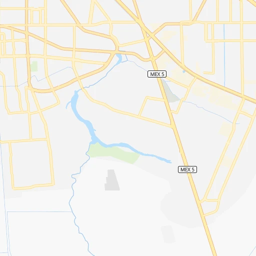
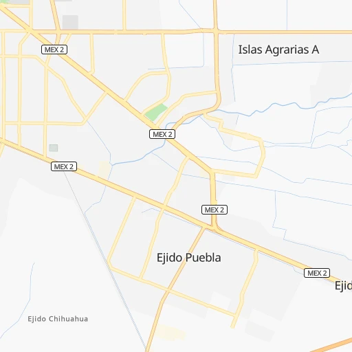
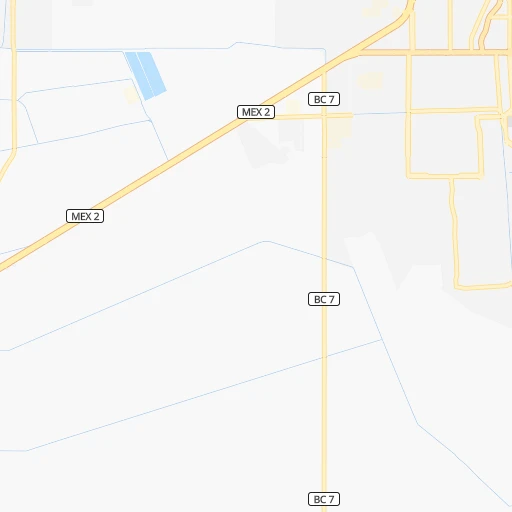
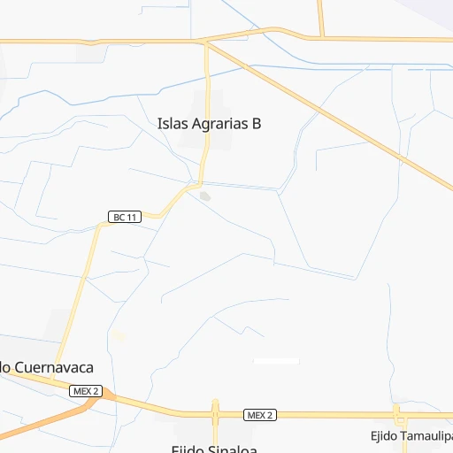
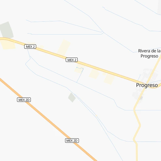
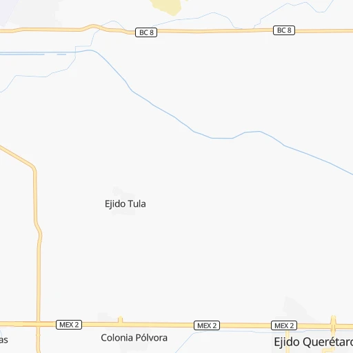
Roadmap (route) to go from Ampac to San Luis detailed above, you can also see the course layout on the map.
While doing trip Ampac - San Luis by car, the calculated route ends at a distance , or more straight.
Distance and duration of the route between Ampac and San Luis
Calculation of distance and route from San Luis to Ampac :
145.2172.9 km2h14mn
Continue onto Calle D 0h0mn 27 mTurn right onto Calle 70 0h0mn 166 mTurn left onto Calle Río Mezcalapa 0h0mn 218 mTurn sharp right onto Calzada Rodolfo Sánchez Taboada 0h1mn 1.6 kmTurn left onto Calzada Héctor Terán Terán 0h2mn 1.8 kmContinue onto Calzada Héctor Terán Terán 0h6mn 6.4 kmTurn left onto Carretera Mexicali-Tecate 2h35mn 134.7 kmKeep right 0h0mn 217 mTurn left 0h0mn 191 mTurn sharp left 0h3mn 1.3 kmTurn left 0h11mn 11.9 kmContinue onto La Morita 0h0mn 416 mTurn sharp right onto Gardenias 0h0mn 144 mTurn left onto Calle Jacinto 0h0mn 244 mTurn left onto Calle Principal 0h2mn 1.3 kmTurn left onto Boulevard del Refugio 0h4mn 4.0 kmKeep right and drive toward Colonia El Florido, Colonia Horoscopo 0h2mn 2.7 kmTurn left onto Boulevard Simón Bolívar 0h6mn 5.6 kmTurn left onto Calle Miguel Ángel Cárdenas 0h0mn 15 mArrive at destination 0h0mn 0 m
Travel from Ampac (Baja California) to a selection of major cities.
Distances from Ampac to biggest cities in Baja California
Other major cities in country :
- Acapulco de Juarez [12], 652,136 inhabitants. 2,346 km
- Coyoacan [09], 628,063 inhabitants. 2,191 km
- Santiago de Queretaro [22], 626,495 inhabitants. 2,002 km
- Saltillo [07], 621,250 inhabitants. 1,612 km
- Tlalpan [09], 607,545 inhabitants. 2,195 km
- Hermosillo [26], 595,811 inhabitants. 576 km
- Morelia [16], 592,797 inhabitants. 2,017 km
- Veracruz [30], 568,313 inhabitants. 2,433 km
- Cancun [23], 542,043 inhabitants. 3,095 km
- Santa Maria Chimalhuacan [15], 525,389 inhabitants. 2,200 km
- Torreon [07], 524,066 inhabitants. 1,405 km
- Cuauhtemoc [09], 521,348 inhabitants. 2,184 km
- Ciudad Lopez Mateos [15], 521,034 inhabitants. 2,167 km
- Toluca [15], 505,881 inhabitants. 2,160 km
- Reynosa [28], 498,654 inhabitants. 1,811 km
- Tlaquepaque [14], 493,646 inhabitants. 1,794 km
- Tuxtla [05], 481,128 inhabitants. 2,852 km
- Cuautitlan Izcalli [15], 475,179 inhabitants. 2,163 km
- Victoria de Durango [10], 457,140 inhabitants. 1,421 km
- Heroica Matamoros [28], 449,815 inhabitants. 1,891 km
Route from San Luis to major cities (Mexico).
- Distance San Luis Mexico City2,292 km
- Distance San Luis Iztapalapa2,302 km
- Distance San Luis Ecatepec de Morelos2,284 km
- Distance San Luis Guadalajara1,878 km
- Distance San Luis Puebla2,393 km
- Distance San Luis Juarez993 km
- Distance San Luis Ciudad Nezahualcoyotl2,302 km
- Distance San Luis Gustavo Adolfo Madero2,288 km
- Distance San Luis Monterrey1,782 km
- Distance San Luis Leon de los Aldama1,968 km
- Distance San Luis Zapopan1,874 km
- Distance San Luis Naucalpan de Juarez2,279 km
- Distance San Luis Chihuahua1,123 km
- Distance San Luis Alvaro Obregon2,291 km
- Distance San Luis Guadalupe1,787 km
- Distance San Luis Merida2,991 km
- Distance San Luis Tlalnepantla2,278 km
- Distance San Luis San Luis Potosi1,947 km
- Distance San Luis Culiacan1,263 km
- Distance San Luis Aguascalientes1,865 km
Nearest cities to Ampac :
- Tijuana, 1,376,457 inhabitants. 149 km
- Mexicali, 597,099 inhabitants. 5 km
- Ensenada, 256,565 inhabitants. 138 km
- San Luis Rio Colorado, 139,254 inhabitants. 63 km
- Rosarito, 66,020 inhabitants. 155 km
- Tecate, 58,300 inhabitants. 113 km
- Porticos de San Antonio, 34,234 inhabitants. 153 km
- Puerto Penasco, 33,875 inhabitants. 228 km
- Terrazas del Valle, 20,421 inhabitants. 133 km
- Guadalupe Victoria, 18,244 inhabitants. 45 km
- Villa del Prado 2da Seccion, 18,226 inhabitants. 147 km
- Rodolfo Sanchez Taboada, 17,861 inhabitants. 146 km
- Las Delicias, 15,486 inhabitants. 145 km
- San Felipe, 15,386 inhabitants. 184 km
- Villa del Campo, 13,906 inhabitants. 124 km
- Vicente Guerrero, 12,829 inhabitants. 215 km
- Sonoita, 9,783 inhabitants. 255 km
- El Sauzal de Rodriguez, 9,085 inhabitants. 144 km
- El Nino, 8,999 inhabitants. 129 km
- Puebla, 8,700 inhabitants. 7 km
- San Luis, 8,571 inhabitants. 145 km
- Doctor Alberto Oviedo Mota, 8,064 inhabitants. 48 km
- Estacion Coahuila, 7,596 inhabitants. 60 km
- Camalu, 7,425 inhabitants. 205 km
- Maclovio Rojas, 7,279 inhabitants. 131 km
- Lomas de Santa Anita, 6,604 inhabitants. 116 km
- Benito Garcia (El Zorrillo), 6,598 inhabitants. 146 km
- Hermosillo, 6,399 inhabitants. 47 km
- Emiliano Zapata, 5,756 inhabitants. 213 km
- Quinta del Cedro, 5,704 inhabitants. 156 km
- Delta, 5,698 inhabitants. 34 km
- Ciudad Coahuila (Kilometro Cincuenta y Siete), 5,617 inhabitants. 60 km
- San Quintin, 5,433 inhabitants. 232 km
- Tecolots, 5,259 inhabitants. 41 km
- Progreso, 5,231 inhabitants. 16 km
- Primo Tapia, 5,039 inhabitants. 147 km
- Los Algodones, 4,874 inhabitants. 65 km
- Cereso del Hongo, 4,278 inhabitants. 79 km
- Colonia Lomas de San Ramon (Triquis), 3,805 inhabitants. 218 km
- Plutarco Elias Calles (La Y Griega), 3,725 inhabitants. 325 km
- Colonia Nueva Era, 3,256 inhabitants. 238 km
- Los Valles, 3,135 inhabitants. 146 km
Location Ampac (Baja California) :
| Country flag |  |
| Location | Ampac |
| State | Baja California |
| County | Mexicali |
| Country | Mexico |
| Country code / ISO 2 | MX |
| Latitude | 32.6000000 |
| Longitude | -115.4166700 |
| Altitude | 0 meters |
| Time zone | America/Tijuana |
Location San Luis (Baja California) :
| Country flag | |
| Location | San Luis |
| State | Baja California |
| County | Tijuana |
| Country | Mexico |
| Country code / ISO 2 | MX |
| Latitude | 32.4316700 |
| Longitude | -116.9536100 |
| Altitude | 0 meters |
| Time zone | America/Tijuana |


