
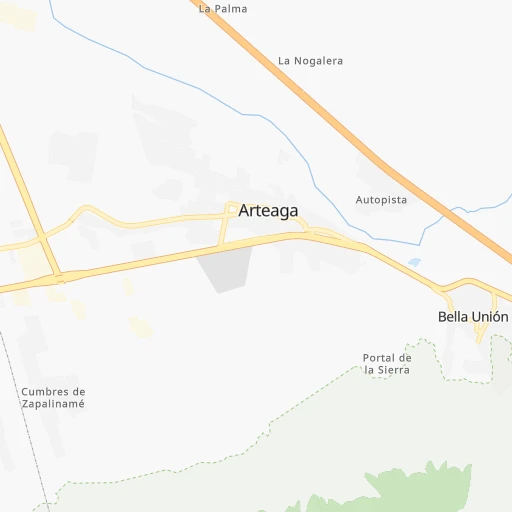


How to get from Arteaga (Coahuila) to Allende (Coahuila)
Calculate route from Arteaga (Coahuila, Mexico) to Allende (Coahuila, Mexico).
The flight distance (as the crow flies) between Arteaga and Allende is 321.8 km.
Roadmap (route) to go from Arteaga to Allende detailed above, you can also see the course layout on the map.
While doing trip Arteaga - Allende by car, the calculated route ends at a distance , or more straight.
Distance and duration of the route between Arteaga and Allende
Calculation of distance and route from Allende to Arteaga :
321.8380.7 km5h58mn
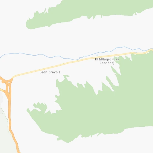
Continue 0h0mn 19 mTurn right 0h0mn 105 mTurn right onto Calle Doctor Gonzalo Valdez 0h0mn 172 mTurn left onto Calle La Palma 0h3mn 3.6 kmKeep right and drive toward Monterrey, Ramos Arizpe 0h0mn 390 mKeep right and drive toward Monterrey, Ramos Arizpe 0h0mn 71 mTurn right onto Libramiento Oscar Flores Tapia 0h12mn 13.8 kmKeep right 0h0mn 190 mKeep left 0h5mn 5.3 kmKeep right onto MEX 57 0h0mn 518 mContinue onto Carretera Santa Cruz-Ojo Caliente 2h13mn 170.3 kmKeep right 0h1mn 1.4 kmKeep right onto Calle Hidalgo 0h3mn 2.2 kmKeep right onto Calle Hidalgo Norte 0h0mn 35 mContinue 0h4mn 4.8 kmKeep left onto Libramiento Oriente de Monclova 2h38mn 119.5 kmKeep right 1h32mn 53.4 kmKeep right 0h0mn 248 mContinue onto Calzada Venustiano Carranza 0h4mn 4.0 kmKeep left 0h1mn 588 mArrive at destination 0h0mn 0 m
Travel from Arteaga (Coahuila) to a selection of major cities.
Distances from Arteaga to biggest cities in Coahuila
Other major cities in country :
- Aguascalientes [01], 658,179 inhabitants. 423 km
- Acapulco de Juarez [12], 652,136 inhabitants. 962 km
- Coyoacan [09], 628,063 inhabitants. 701 km
- Santiago de Queretaro [22], 626,495 inhabitants. 543 km
- Tlalpan [09], 607,545 inhabitants. 706 km
- Mexicali [02], 597,099 inhabitants. 1,629 km
- Hermosillo [26], 595,811 inhabitants. 1,081 km
- Morelia [16], 592,797 inhabitants. 640 km
- Veracruz [30], 568,313 inhabitants. 849 km
- Cancun [23], 542,043 inhabitants. 1,507 km
- Santa Maria Chimalhuacan [15], 525,389 inhabitants. 698 km
- Cuauhtemoc [09], 521,348 inhabitants. 690 km
- Ciudad Lopez Mateos [15], 521,034 inhabitants. 675 km
- Toluca [15], 505,881 inhabitants. 696 km
- Reynosa [28], 498,654 inhabitants. 266 km
- Tlaquepaque [14], 493,646 inhabitants. 591 km
- Tuxtla [05], 481,128 inhabitants. 1,256 km
- Cuautitlan Izcalli [15], 475,179 inhabitants. 667 km
- Victoria de Durango [10], 457,140 inhabitants. 417 km
- Heroica Matamoros [28], 449,815 inhabitants. 339 km
Route from Allende to major cities (Mexico).
- Distance Allende Mexico City1,008 km
- Distance Allende Iztapalapa1,017 km
- Distance Allende Ecatepec de Morelos989 km
- Distance Allende Guadalajara892 km
- Distance Allende Puebla1,070 km
- Distance Allende Juarez658 km
- Distance Allende Tijuana1,616 km
- Distance Allende Ciudad Nezahualcoyotl1,013 km
- Distance Allende Gustavo Adolfo Madero1,001 km
- Distance Allende Monterrey301 km
- Distance Allende Leon de los Aldama807 km
- Distance Allende Zapopan886 km
- Distance Allende Naucalpan de Juarez1,000 km
- Distance Allende Chihuahua513 km
- Distance Allende Alvaro Obregon1,014 km
- Distance Allende Guadalupe302 km
- Distance Allende Merida1,400 km
- Distance Allende Tlalnepantla994 km
- Distance Allende San Luis Potosi689 km
- Distance Allende Culiacan761 km
Nearest cities to Arteaga :
- Monterrey, 1,122,874 inhabitants. 59 km
- Guadalupe, 724,921 inhabitants. 65 km
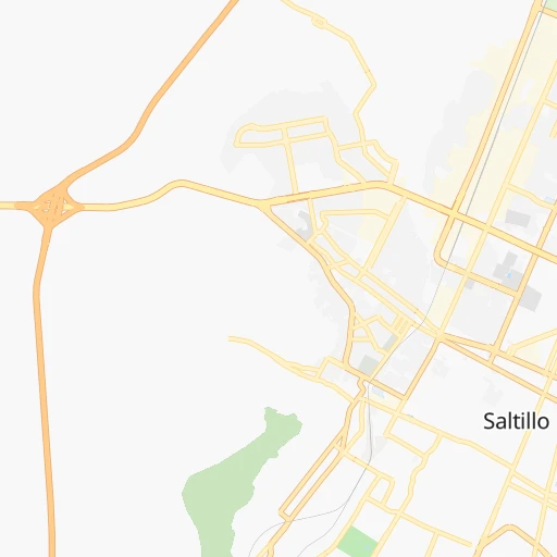
- Saltillo, 621,250 inhabitants. 16 km
- Torreon, 524,066 inhabitants. 259 km
- Reynosa, 498,654 inhabitants. 266 km
- San Nicolas de los Garza, 443,273 inhabitants. 64 km
- Ciudad Apodaca, 352,064 inhabitants. 76 km
- Nuevo Laredo, 349,550 inhabitants. 262 km
- Ciudad General Escobedo, 308,206 inhabitants. 66 km
- Ciudad Victoria, 269,923 inhabitants. 256 km
- Santa Catarina, 254,472 inhabitants. 47 km
- Gomez Palacio, 228,577 inhabitants. 267 km
- Monclova, 195,764 inhabitants. 173 km
- San Pedro Garza Garcia, 130,646 inhabitants. 50 km
- San Pedro Garza Garcia, 122,009 inhabitants. 50 km
- Zacatecas, 118,562 inhabitants. 346 km
- Fresnillo, 105,488 inhabitants. 325 km
- Matamoros, 104,024 inhabitants. 240 km
- Guadalupe, 94,089 inhabitants. 345 km
- Ciudad Rio Bravo, 85,481 inhabitants. 283 km
- Ciudad Mante, 79,981 inhabitants. 356 km
- Cadereyta, 67,994 inhabitants. 88 km
- Matehuala, 67,717 inhabitants. 201 km
- Frontera, 64,976 inhabitants. 176 km
- Ciudad Lerdo, 63,530 inhabitants. 269 km
- Linares, 57,731 inhabitants. 145 km
- Jardines de la Silla (Jardines), 53,742 inhabitants. 69 km
- Sabinas, 49,199 inhabitants. 270 km
- Jerez de Garcia Salinas, 43,064 inhabitants. 380 km
- San Pedro, 41,165 inhabitants. 238 km
- Ramos Arizpe, 38,258 inhabitants. 15 km
- Montemorelos, 37,694 inhabitants. 106 km
- Nueva Rosita, 36,642 inhabitants. 280 km
- Santiago, 35,968 inhabitants. 70 km
- Fraccionamiento Real Palmas, 34,636 inhabitants. 86 km
- Ciudad Melchor Muzquiz, 32,799 inhabitants. 279 km
- Victor Rosales, 32,721 inhabitants. 336 km
- Parras de la Fuente, 32,253 inhabitants. 134 km
- Ciudad Sabinas Hidalgo, 32,047 inhabitants. 135 km
- Rio Grande, 29,841 inhabitants. 285 km
- San Fernando, 29,171 inhabitants. 280 km
- Garcia, 26,950 inhabitants. 48 km
- Ciudad de Allende, 22,609 inhabitants. 86 km
- Castanos, 20,809 inhabitants. 161 km
- Ciudad Miguel Aleman, 19,857 inhabitants. 211 km
- Allende, 19,636 inhabitants. 322 km
- San Buenaventura, 18,822 inhabitants. 193 km
- Sombrerete, 18,805 inhabitants. 348 km
- Nava, 18,639 inhabitants. 331 km
- Parque Industrial Ciudad Mitras, 18,312 inhabitants. 55 km
Location Arteaga (Coahuila) :
| Country flag |  |
| Location | Arteaga |
| State | Coahuila |
| County | Arteaga |
| Country | Mexico |
| Country code / ISO 2 | MX |
| Latitude | 25.4452800 |
| Longitude | -100.8466700 |
| Altitude | 0 meters |
| Time zone | America/Monterrey |
Location Allende (Coahuila) :
| Country flag | |
| Location | Allende |
| State | Coahuila |
| County | Allende |
| Country | Mexico |
| Country code / ISO 2 | MX |
| Latitude | 28.3412400 |
| Longitude | -100.8511100 |
| Altitude | 0 meters |
| Time zone | America/Monterrey |