


How to get from Bermejillo (Durango) to Víctor Rosales (Zacatecas)
Calculate route from Bermejillo (Durango, Mexico) to Víctor Rosales (Zacatecas, Mexico).
The flight distance (as the crow flies) between Bermejillo and Víctor Rosales is 339.4 km.
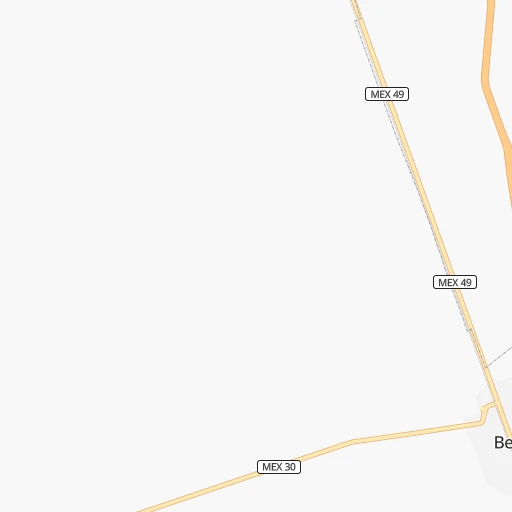
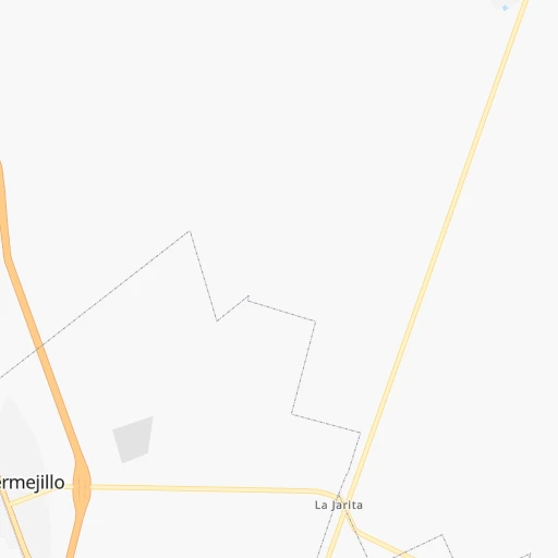
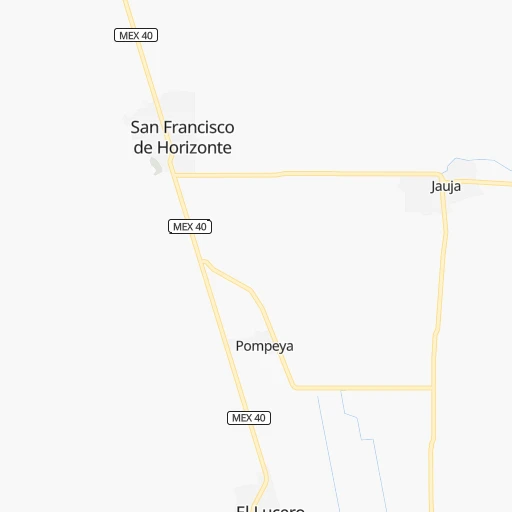
Roadmap (route) to go from Bermejillo to Víctor Rosales detailed above, you can also see the course layout on the map.
While doing trip Bermejillo - Víctor Rosales by car, the calculated route ends at a distance , or more straight.
Distance and duration of the route between Bermejillo and Víctor Rosales
Calculation of distance and route from Víctor Rosales to Bermejillo :
339.4384.1 km4h19mn
Continue onto Calle Vicente Guerrero 0h2mn 997 mTurn right 0h0mn 90 mTurn left onto Calle Ferrocarril 0h1mn 308 mContinue onto Carretera Jiménez-Torreón 0h24mn 29.0 kmKeep left toward MEX 40D, MEX 49D 0h1mn 808 mKeep right and take MEX 40D, MEX 49D toward Durango, Zacatecas, Mazatlan 1h49mn 88.4 kmKeep right and take MEX 40, MEX 49 toward Zacatecas, Cuencame 0h1mn 371 mKeep right and take MEX 40, MEX 49 toward Gomez Palacio 0h0mn 169 mTurn sharp left onto Carretera Gómez Palacio-Cuencamé 3h51mn 255.7 kmKeep right onto MEX 45 0h8mn 6.2 kmContinue onto Carretera Durango-Zacatecas 0h2mn 2.0 kmTurn left onto Melchor Ocampo 0h0mn 32 mArrive at destination 0h0mn 0 m
Travel from Bermejillo (Zacatecas) to a selection of major cities.
Distances from Bermejillo to biggest cities in Durango
Other major cities in country :
- Aguascalientes [01], 658,179 inhabitants. 466 km
- Acapulco de Juarez [12], 652,136 inhabitants. 1,077 km
- Coyoacan [09], 628,063 inhabitants. 860 km
- Santiago de Queretaro [22], 626,495 inhabitants. 676 km
- Saltillo [07], 621,250 inhabitants. 267 km
- Tlalpan [09], 607,545 inhabitants. 865 km
- Mexicali [02], 597,099 inhabitants. 1,371 km
- Hermosillo [26], 595,811 inhabitants. 810 km
- Morelia [16], 592,797 inhabitants. 733 km
- Veracruz [30], 568,313 inhabitants. 1,071 km
- Cancun [23], 542,043 inhabitants. 1,789 km
- Santa Maria Chimalhuacan [15], 525,389 inhabitants. 865 km
- Torreon [07], 524,066 inhabitants. 43 km
- Cuauhtemoc [09], 521,348 inhabitants. 852 km
- Ciudad Lopez Mateos [15], 521,034 inhabitants. 835 km
- Toluca [15], 505,881 inhabitants. 840 km
- Reynosa [28], 498,654 inhabitants. 534 km
- Tlaquepaque [14], 493,646 inhabitants. 585 km
- Tuxtla [05], 481,128 inhabitants. 1,488 km
- Cuautitlan Izcalli [15], 475,179 inhabitants. 829 km
Route from Víctor Rosales to major cities (Mexico).
- Distance Víctor Rosales Mexico City540 km
- Distance Víctor Rosales Iztapalapa550 km
- Distance Víctor Rosales Ecatepec de Morelos530 km
- Distance Víctor Rosales Guadalajara264 km
- Distance Víctor Rosales Puebla639 km
- Distance Víctor Rosales Juarez1,045 km
- Distance Víctor Rosales Tijuana1,762 km
- Distance Víctor Rosales Ciudad Nezahualcoyotl550 km
- Distance Víctor Rosales Gustavo Adolfo Madero535 km
- Distance Víctor Rosales Monterrey388 km
- Distance Víctor Rosales Leon de los Aldama229 km
- Distance Víctor Rosales Zapopan258 km
- Distance Víctor Rosales Naucalpan de Juarez528 km
- Distance Víctor Rosales Chihuahua718 km
- Distance Víctor Rosales Alvaro Obregon540 km
- Distance Víctor Rosales Guadalupe392 km
- Distance Víctor Rosales Merida1,368 km
- Distance Víctor Rosales Tlalnepantla526 km
- Distance Víctor Rosales San Luis Potosi198 km
- Distance Víctor Rosales Culiacan519 km
Nearest cities to Bermejillo :
- Chihuahua, 809,232 inhabitants. 391 km
- Saltillo, 621,250 inhabitants. 267 km
- Torreon, 524,066 inhabitants. 43 km
- Victoria de Durango, 457,140 inhabitants. 233 km
- Mazatlan, 354,717 inhabitants. 408 km
- Gomez Palacio, 228,577 inhabitants. 37 km
- Monclova, 195,764 inhabitants. 247 km
- Fresnillo, 105,488 inhabitants. 311 km
- Matamoros, 104,024 inhabitants. 56 km
- Ciudad Delicias, 102,969 inhabitants. 315 km
- Parral, 101,768 inhabitants. 235 km
- Matehuala, 67,717 inhabitants. 391 km
- Frontera, 64,976 inhabitants. 245 km
- Ciudad Lerdo, 63,530 inhabitants. 40 km
- Sabinas, 49,199 inhabitants. 331 km
- San Pedro, 41,165 inhabitants. 65 km
- Ramos Arizpe, 38,258 inhabitants. 271 km
- Camargo, 37,743 inhabitants. 252 km
- Nueva Rosita, 36,642 inhabitants. 330 km
- Ciudad Melchor Muzquiz, 32,799 inhabitants. 305 km
- Victor Rosales, 32,721 inhabitants. 340 km
- Parras de la Fuente, 32,253 inhabitants. 153 km
- Jimenez, 31,054 inhabitants. 324 km
- Rio Grande, 29,841 inhabitants. 237 km
- Santiago Papasquiaro, 26,121 inhabitants. 204 km
- San Miguel de Papasquiaro, 22,750 inhabitants. 209 km
- Meoqui, 21,179 inhabitants. 323 km
- Castanos, 20,809 inhabitants. 240 km
- Allende, 19,636 inhabitants. 387 km
- Pueblo Nuevo, 19,363 inhabitants. 331 km
- San Buenaventura, 18,822 inhabitants. 244 km
- Sombrerete, 18,805 inhabitants. 251 km
- Nava, 18,639 inhabitants. 399 km
- Palau, 16,904 inhabitants. 312 km
- Vicente Guerrero, 14,559 inhabitants. 242 km
- Ciudad Guadalupe Victoria, 14,269 inhabitants. 168 km
- Juan Aldama, 14,162 inhabitants. 179 km
- Villa Union, 13,683 inhabitants. 399 km
- Miguel Auza, 12,685 inhabitants. 178 km
- Charcas, 11,365 inhabitants. 398 km
- Santa Barbara, 10,800 inhabitants. 242 km
- Saucillo, 10,595 inhabitants. 291 km
- Zaragoza, 10,577 inhabitants. 394 km
- Canatlan, 10,342 inhabitants. 191 km
- Poanas, 10,249 inhabitants. 13 km
- San Antonio del Coyote, 9,653 inhabitants. 40 km
- Cuencame de Ceniceros, 8,876 inhabitants. 113 km
- Coyote, 8,856 inhabitants. 40 km
- Nuevo Ideal, 8,623 inhabitants. 184 km
- Tlahualilo de Zaragoza, 8,588 inhabitants. 30 km
Location Bermejillo (Durango) :
| Country flag |  |
| Location | Bermejillo |
| State | Durango |
| County | Mapimí |
| Country | Mexico |
| Country code / ISO 2 | MX |
| Latitude | 25.8868200 |
| Longitude | -103.6206900 |
| Altitude | 0 meters |
| Time zone | America/Monterrey |
Location Víctor Rosales (Zacatecas) :
| Country flag | |
| Location | Víctor Rosales |
| State | Zacatecas |
| County | Calera |
| Country | Mexico |
| Country code / ISO 2 | MX |
| Latitude | 22.9488900 |
| Longitude | -102.7022200 |
| Altitude | 0 meters |
| Time zone | America/Mexico_City |