
How to get from Mina (Nuevo León) to Piedras Negras (Coahuila)
Calculate route from Mina (Nuevo León, Mexico) to Piedras Negras (Coahuila, Mexico).
The flight distance (as the crow flies) between Mina and Piedras Negras is 299.9 km.
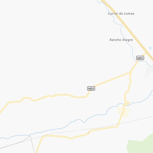
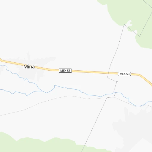
Roadmap (route) to go from Mina to Piedras Negras detailed above, you can also see the course layout on the map.
While doing trip Mina - Piedras Negras by car, the calculated route ends at a distance , or more straight.
Distance and duration of the route between Mina and Piedras Negras
Calculation of distance and route from Piedras Negras to Mina :
299.9381.7 km5h50mn
Continue onto Calle General Eduardo E. Guerra 0h0mn 135 mTurn left onto Calle Vicente Guerrero 0h0mn 89 mTurn right onto Calle Abasolo 0h0mn 44 mTurn left onto Carretera Castaños-Monterrey 2h44mn 140.6 kmKeep right 0h1mn 1.4 kmKeep right onto Calle Hidalgo 0h3mn 2.2 kmKeep right onto Calle Hidalgo Norte 0h0mn 35 mContinue 0h4mn 4.8 kmKeep left onto Libramiento Oriente de Monclova 2h38mn 119.5 kmKeep right 1h8mn 101.4 kmContinue onto Carretera Monclova - Piedras Negras 0h10mn 11.1 kmTurn sharp right onto Calle Nueva 0h0mn 182 mTurn left onto Calle Doctor Coss 0h0mn 89 mTurn left onto Avenida General Treviño 0h0mn 209 mArrive at destination 0h0mn 0 m
Travel from Mina (Coahuila) to a selection of major cities.
Distances from Mina to biggest cities in Nuevo León
Other major cities in country :
- Coyoacan [09], 628,063 inhabitants. 754 km
- Santiago de Queretaro [22], 626,495 inhabitants. 603 km
- Saltillo [07], 621,250 inhabitants. 80 km
- Tlalpan [09], 607,545 inhabitants. 760 km
- Mexicali [02], 597,099 inhabitants. 1,623 km
- Hermosillo [26], 595,811 inhabitants. 1,087 km
- Morelia [16], 592,797 inhabitants. 705 km
- Veracruz [30], 568,313 inhabitants. 883 km
- Cancun [23], 542,043 inhabitants. 1,495 km
- Santa Maria Chimalhuacan [15], 525,389 inhabitants. 750 km
- Torreon [07], 524,066 inhabitants. 294 km
- Cuauhtemoc [09], 521,348 inhabitants. 743 km
- Ciudad Lopez Mateos [15], 521,034 inhabitants. 729 km
- Toluca [15], 505,881 inhabitants. 753 km
- Reynosa [28], 498,654 inhabitants. 224 km
- Tlaquepaque [14], 493,646 inhabitants. 660 km
- Tuxtla [05], 481,128 inhabitants. 1,284 km
- Cuautitlan Izcalli [15], 475,179 inhabitants. 720 km
- Victoria de Durango [10], 457,140 inhabitants. 471 km
- Heroica Matamoros [28], 449,815 inhabitants. 303 km
Route from Piedras Negras to major cities (Mexico).
- Distance Piedras Negras Mexico City1,042 km
- Distance Piedras Negras Iztapalapa1,051 km
- Distance Piedras Negras Ecatepec de Morelos1,023 km
- Distance Piedras Negras Guadalajara940 km
- Distance Piedras Negras Puebla1,101 km
- Distance Piedras Negras Juarez663 km
- Distance Piedras Negras Tijuana1,633 km
- Distance Piedras Negras Ciudad Nezahualcoyotl1,046 km
- Distance Piedras Negras Gustavo Adolfo Madero1,035 km
- Distance Piedras Negras Monterrey337 km
- Distance Piedras Negras Leon de los Aldama851 km
- Distance Piedras Negras Zapopan934 km
- Distance Piedras Negras Naucalpan de Juarez1,035 km
- Distance Piedras Negras Chihuahua544 km
- Distance Piedras Negras Alvaro Obregon1,048 km
- Distance Piedras Negras Guadalupe338 km
- Distance Piedras Negras Merida1,396 km
- Distance Piedras Negras Tlalnepantla1,029 km
- Distance Piedras Negras San Luis Potosi731 km
- Distance Piedras Negras Culiacan809 km
Nearest cities to Mina :
- Monterrey, 1,122,874 inhabitants. 42 km
- Guadalupe, 724,921 inhabitants. 45 km
- Saltillo, 621,250 inhabitants. 80 km
- Torreon, 524,066 inhabitants. 294 km
- Reynosa, 498,654 inhabitants. 224 km
- San Nicolas de los Garza, 443,273 inhabitants. 37 km
- Ciudad Apodaca, 352,064 inhabitants. 42 km
- Nuevo Laredo, 349,550 inhabitants. 193 km
- Ciudad General Escobedo, 308,206 inhabitants. 31 km
- Ciudad Victoria, 269,923 inhabitants. 288 km
- Santa Catarina, 254,472 inhabitants. 37 km
- Gomez Palacio, 228,577 inhabitants. 301 km
- Monclova, 195,764 inhabitants. 134 km
- Piedras Negras, 150,178 inhabitants. 300 km
- San Pedro Garza Garcia, 130,646 inhabitants. 40 km
- San Pedro Garza Garcia, 122,009 inhabitants. 40 km
- Fresnillo, 105,488 inhabitants. 393 km
- Matamoros, 104,024 inhabitants. 276 km
- Ciudad Rio Bravo, 85,481 inhabitants. 244 km
- Cadereyta, 67,994 inhabitants. 72 km
- Matehuala, 67,717 inhabitants. 262 km
- Frontera, 64,976 inhabitants. 138 km
- Ciudad Lerdo, 63,530 inhabitants. 305 km
- Linares, 57,731 inhabitants. 160 km
- Jardines de la Silla (Jardines), 53,742 inhabitants. 54 km
- Sabinas, 49,199 inhabitants. 215 km
- Valle Hermoso, 47,831 inhabitants. 275 km
- San Pedro, 41,165 inhabitants. 277 km
- Ramos Arizpe, 38,258 inhabitants. 66 km
- Montemorelos, 37,694 inhabitants. 115 km
- Nueva Rosita, 36,642 inhabitants. 226 km
- Santiago, 35,968 inhabitants. 74 km
- Fraccionamiento Real Palmas, 34,636 inhabitants. 39 km
- Ciudad Melchor Muzquiz, 32,799 inhabitants. 231 km
- Parras de la Fuente, 32,253 inhabitants. 177 km
- Ciudad Sabinas Hidalgo, 32,047 inhabitants. 66 km
- Rio Grande, 29,841 inhabitants. 350 km
- San Fernando, 29,171 inhabitants. 272 km
- Garcia, 26,950 inhabitants. 22 km
- Ciudad de Allende, 22,609 inhabitants. 96 km
- Castanos, 20,809 inhabitants. 126 km
- Ciudad Miguel Aleman, 19,857 inhabitants. 156 km
- Allende, 19,636 inhabitants. 262 km
- San Buenaventura, 18,822 inhabitants. 156 km
- Nava, 18,639 inhabitants. 270 km
- Parque Industrial Ciudad Mitras, 18,312 inhabitants. 25 km
- Mitras Poniente, 18,246 inhabitants. 27 km
- Anahuac, 17,181 inhabitants. 144 km
- Palau, 16,904 inhabitants. 228 km
- Hidalgo, 15,227 inhabitants. 93 km
Location Mina (Nuevo León) :
| Country flag |  |
| Location | Mina |
| State | Nuevo León |
| County | Mina |
| Country | Mexico |
| Country code / ISO 2 | MX |
| Latitude | 26.0011000 |
| Longitude | -100.5298800 |
| Altitude | 0 meters |
| Time zone | America/Monterrey |
Location Piedras Negras (Coahuila) :
| Country flag | |
| Location | Piedras Negras |
| State | Coahuila |
| County | Piedras Negras |
| Country | Mexico |
| Country code / ISO 2 | MX |
| Latitude | 28.7000700 |
| Longitude | -100.5235300 |
| Altitude | 0 meters |
| Time zone | America/Matamoros |


