
How to get from Rincón (Chihuahua) to Culiacán (Sinaloa)
Calculate route from Rincón (Chihuahua, Mexico) to Culiacán (Sinaloa, Mexico).
The flight distance (as the crow flies) between Rincón and Culiacán is 293.0 km.
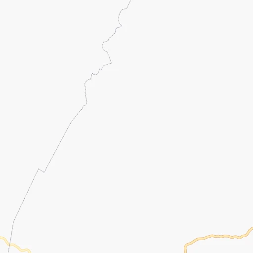
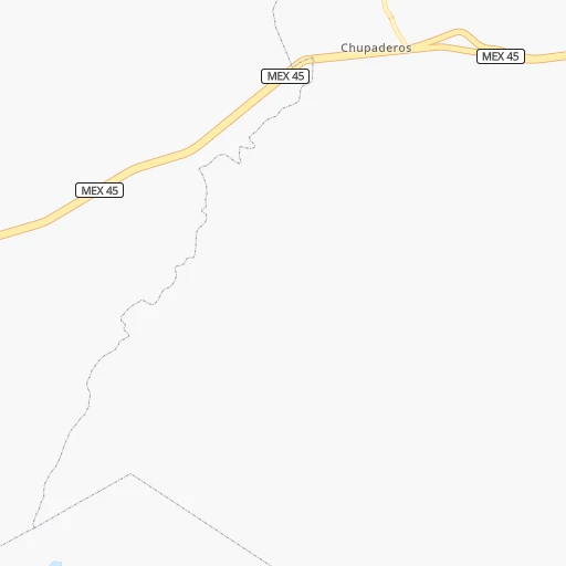
Roadmap (route) to go from Rincón to Culiacán detailed above, you can also see the course layout on the map.
While doing trip Rincón - Culiacán by car, the calculated route ends at a distance , or more straight.
Distance and duration of the route between Rincón and Culiacán
Calculation of distance and route from Culiacán to Rincón :
293.0507.8 km8h6mn
Continue onto Camino a Villa Escobedo 0h4mn 3.7 kmTurn right onto Camino a Villa Escobedo 0h0mn 18 mTurn right onto Avenida Niños Héroes 0h6mn 6.3 kmKeep right onto MEX 24 0h0mn 244 mTurn slight right onto Carretera Hidalgo del Parral-Guadalupe y Calvo 4h25mn 306.1 kmKeep left 0h20mn 9.9 kmTurn left 0h7mn 3.7 kmTurn left 0h9mn 4.7 kmTurn slight left onto Carretera Badiraguato - Límites Estados Sinaloa - Chihuahua 2h41mn 92.0 kmContinue onto Carretera Los Naranjos-Pericos 0h28mn 34.0 kmTurn left onto Carretera Culiacán-Los Mochis 1h40mn 44.1 kmAt roundabout, take exit 2 onto Glorieta Cuauhtemoc 0h0mn 141 mTurn slight left onto Calle General Francisco Villa 0h0mn 200 mTurn right onto Avenida General Nicolás Bravo 0h2mn 1.1 kmTurn left onto Calle Río Piaxtla 0h1mn 864 mTurn right onto Avenida Doctor Ruperto L. Paliza 0h0mn 227 mTurn sharp left onto Calle Río Sinaloa 0h1mn 156 mTurn sharp right onto Avenida Río Baluarte 0h0mn 143 mTurn left onto Juan Pablo ll 0h1mn 304 mArrive at destination 0h0mn 0 m
Travel from Rincón (Sinaloa) to a selection of major cities.
Distances from Rincón to biggest cities in Chihuahua
Other major cities in country :
- Coyoacan [09], 628,063 inhabitants. 1,082 km
- Santiago de Queretaro [22], 626,495 inhabitants. 895 km
- Saltillo [07], 621,250 inhabitants. 503 km
- Tlalpan [09], 607,545 inhabitants. 1,087 km
- Mexicali [02], 597,099 inhabitants. 1,130 km
- Hermosillo [26], 595,811 inhabitants. 567 km
- Morelia [16], 592,797 inhabitants. 933 km
- Veracruz [30], 568,313 inhabitants. 1,309 km
- Cancun [23], 542,043 inhabitants. 2,022 km
- Santa Maria Chimalhuacan [15], 525,389 inhabitants. 1,089 km
- Torreon [07], 524,066 inhabitants. 280 km
- Cuauhtemoc [09], 521,348 inhabitants. 1,074 km
- Ciudad Lopez Mateos [15], 521,034 inhabitants. 1,057 km
- Toluca [15], 505,881 inhabitants. 1,057 km
- Reynosa [28], 498,654 inhabitants. 748 km
- Tlaquepaque [14], 493,646 inhabitants. 747 km
- Tuxtla [05], 481,128 inhabitants. 1,727 km
- Cuautitlan Izcalli [15], 475,179 inhabitants. 1,052 km
- Victoria de Durango [10], 457,140 inhabitants. 345 km
- Heroica Matamoros [28], 449,815 inhabitants. 829 km
Route from Culiacán to major cities (Mexico).
- Distance Culiacán Mexico City1,040 km
- Distance Culiacán Iztapalapa1,050 km
- Distance Culiacán Ecatepec de Morelos1,034 km
- Distance Culiacán Guadalajara616 km
- Distance Culiacán Puebla1,144 km
- Distance Culiacán Juarez777 km
- Distance Culiacán Tijuana1,271 km
- Distance Culiacán Ciudad Nezahualcoyotl1,051 km
- Distance Culiacán Gustavo Adolfo Madero1,037 km
- Distance Culiacán Monterrey719 km
- Distance Culiacán Leon de los Aldama713 km
- Distance Culiacán Zapopan611 km
- Distance Culiacán Naucalpan de Juarez1,027 km
- Distance Culiacán Chihuahua447 km
- Distance Culiacán Alvaro Obregon1,038 km
- Distance Culiacán Guadalupe725 km
- Distance Culiacán Merida1,870 km
- Distance Culiacán Tlalnepantla1,027 km
- Distance Culiacán San Luis Potosi717 km
- Distance Culiacán Aguascalientes614 km
Nearest cities to Rincón :
- Chihuahua, 809,232 inhabitants. 189 km
- Culiacan, 675,000 inhabitants. 294 km
- Torreon, 524,066 inhabitants. 280 km
- Victoria de Durango, 457,140 inhabitants. 345 km
- Gomez Palacio, 228,577 inhabitants. 272 km
- Matamoros, 104,024 inhabitants. 297 km
- Ciudad Delicias, 102,969 inhabitants. 139 km
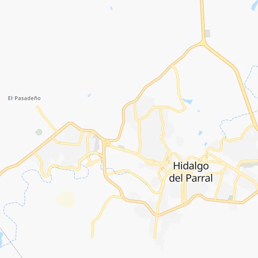
- Parral, 101,768 inhabitants. 8 km
- Cuauhtemoc, 90,835 inhabitants. 195 km
- Guasave, 68,449 inhabitants. 314 km
- Ciudad Lerdo, 63,530 inhabitants. 272 km
- Guamuchil, 59,276 inhabitants. 288 km
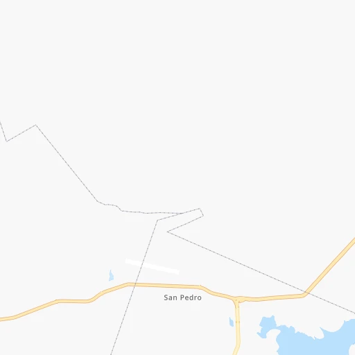
- San Pedro, 41,165 inhabitants. 304 km
- Camargo, 37,743 inhabitants. 97 km
- Jimenez, 31,054 inhabitants. 156 km
- Navolato, 28,457 inhabitants. 314 km
- Leyva Solano, 27,536 inhabitants. 324 km
- Santiago Papasquiaro, 26,121 inhabitants. 216 km
- Licenciado Benito Juarez (Campo Gobierno), 24,185 inhabitants. 315 km
- San Miguel de Papasquiaro, 22,750 inhabitants. 241 km
- Manuel Ojinaga, 22,744 inhabitants. 317 km
- Ojinaga, 22,128 inhabitants. 312 km
- Villa de Costa Rica, 21,662 inhabitants. 312 km
- Meoqui, 21,179 inhabitants. 147 km
- Villa Juarez, 20,985 inhabitants. 314 km
- Madera, 16,087 inhabitants. 343 km
- El Rosario, 14,577 inhabitants. 335 km
- Ciudad Guadalupe Victoria, 14,269 inhabitants. 324 km
- Juan Aldama, 14,162 inhabitants. 379 km
- El Dorado, 14,136 inhabitants. 337 km
- Eldorado, 13,197 inhabitants. 337 km
- Miguel Auza, 12,685 inhabitants. 375 km
- El Fuerte, 11,171 inhabitants. 293 km
- Santa Barbara, 10,800 inhabitants. 20 km
- Anahuac, 10,696 inhabitants. 196 km
- Saucillo, 10,595 inhabitants. 126 km
- Canatlan, 10,342 inhabitants. 288 km
- Poanas, 10,249 inhabitants. 250 km
- General Angel Flores (La Palma), 9,812 inhabitants. 307 km
- San Antonio del Coyote, 9,653 inhabitants. 282 km
- Cuencame de Ceniceros, 8,876 inhabitants. 310 km
- Coyote, 8,856 inhabitants. 282 km
- Adolfo Lopez Mateos, 8,770 inhabitants. 227 km
- Nuevo Ideal, 8,623 inhabitants. 241 km
- Tlahualilo de Zaragoza, 8,588 inhabitants. 247 km
- Ampliacion Colonia Lazaro Cardenas, 8,161 inhabitants. 158 km
- Bermejillo, 7,692 inhabitants. 242 km
- Choix, 7,623 inhabitants. 259 km
- Concordia, 6,964 inhabitants. 292 km
- La Reforma, 6,943 inhabitants. 313 km
Location Rincón (Chihuahua) :
| Country flag |  |
| Location | Rincón |
| State | Chihuahua |
| County | Hidalgo del Parral |
| Country | Mexico |
| Country code / ISO 2 | MX |
| Latitude | 26.9666700 |
| Longitude | -105.7333300 |
| Altitude | 0 meters |
| Time zone | America/Chihuahua |
Location Culiacán (Sinaloa) :
| Country flag | |
| Location | Culiacán |
| State | Sinaloa |
| County | Culiacán |
| Country | Mexico |
| Country code / ISO 2 | MX |
| Latitude | 24.7903200 |
| Longitude | -107.3878200 |
| Altitude | 0 meters |
| Time zone | America/Mazatlan |


