


How to get from Estación Cruz (Durango) to Villa Juárez (Sinaloa)
Calculate route from Estación Cruz (Durango, Mexico) to Villa Juárez (Sinaloa, Mexico).
The flight distance (as the crow flies) between Estación Cruz and Villa Juárez is 268.6 km.
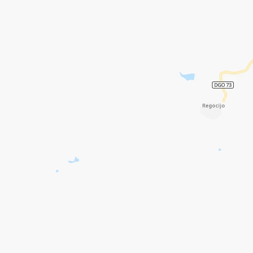
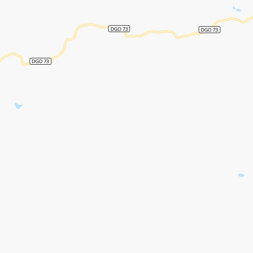
Roadmap (route) to go from Estación Cruz to Villa Juárez detailed above, you can also see the course layout on the map.
While doing trip Estación Cruz - Villa Juárez by car, the calculated route ends at a distance , or more straight.
Distance and duration of the route between Estación Cruz and Villa Juárez
Calculation of distance and route from Villa Juárez to Estación Cruz :
268.6430.1 km5h5mn
Continue onto DGO 73 1h42mn 34.8 kmTurn left onto Carretera Durango-Villa Unión 0h17mn 23.2 kmKeep left 0h0mn 204 mTurn slight right onto Supercarretera Durango-Villa Unión 0h22mn 40.0 kmKeep right and drive toward Coscomate 0h0mn 537 mContinue 0h2mn 1.0 kmKeep left 0h0mn 44 mTurn slight right onto Supercarretera Durango-Villa Unión 1h9mn 87.6 kmKeep right 0h0mn 378 mContinue onto Supercarretera Durango-Villa Unión 0h10mn 14.7 kmKeep right onto MEX 40D 2h7mn 208.5 kmKeep right onto MEX 15D 0h0mn 122 mKeep left onto MEX 15D 0h5mn 8.9 kmTurn left onto SIN 319 0h9mn 9.4 kmTurn left onto Calle Licenciado Benito Juárez 0h1mn 587 mTurn right onto Calle Domingo Rubí 0h0mn 121 mArrive at destination 0h0mn 0 m
Travel from Estación Cruz (Sinaloa) to a selection of major cities.
Distances from Estación Cruz to biggest cities in Durango
Other major cities in country :
- Aguascalientes [01], 658,179 inhabitants. 354 km
- Acapulco de Juarez [12], 652,136 inhabitants. 937 km
- Coyoacan [09], 628,063 inhabitants. 784 km
- Santiago de Queretaro [22], 626,495 inhabitants. 598 km
- Saltillo [07], 621,250 inhabitants. 456 km
- Tlalpan [09], 607,545 inhabitants. 787 km
- Mexicali [02], 597,099 inhabitants. 1,418 km
- Hermosillo [26], 595,811 inhabitants. 838 km
- Morelia [16], 592,797 inhabitants. 603 km
- Veracruz [30], 568,313 inhabitants. 1,056 km
- Cancun [23], 542,043 inhabitants. 1,898 km
- Santa Maria Chimalhuacan [15], 525,389 inhabitants. 796 km
- Torreon [07], 524,066 inhabitants. 265 km
- Cuauhtemoc [09], 521,348 inhabitants. 778 km
- Ciudad Lopez Mateos [15], 521,034 inhabitants. 761 km
- Toluca [15], 505,881 inhabitants. 749 km
- Reynosa [28], 498,654 inhabitants. 736 km
- Tlaquepaque [14], 493,646 inhabitants. 390 km
- Tuxtla [05], 481,128 inhabitants. 1,471 km
- Cuautitlan Izcalli [15], 475,179 inhabitants. 759 km
Route from Villa Juárez to major cities (Mexico).
- Distance Villa Juárez Mexico City1,045 km
- Distance Villa Juárez Iztapalapa1,055 km
- Distance Villa Juárez Ecatepec de Morelos1,039 km
- Distance Villa Juárez Guadalajara616 km
- Distance Villa Juárez Puebla1,149 km
- Distance Villa Juárez Juarez793 km
- Distance Villa Juárez Tijuana1,271 km
- Distance Villa Juárez Ciudad Nezahualcoyotl1,056 km
- Distance Villa Juárez Gustavo Adolfo Madero1,042 km
- Distance Villa Juárez Monterrey736 km
- Distance Villa Juárez Leon de los Aldama718 km
- Distance Villa Juárez Zapopan612 km
- Distance Villa Juárez Naucalpan de Juarez1,032 km
- Distance Villa Juárez Chihuahua466 km
- Distance Villa Juárez Alvaro Obregon1,043 km
- Distance Villa Juárez Guadalupe742 km
- Distance Villa Juárez Merida1,883 km
- Distance Villa Juárez Tlalnepantla1,032 km
- Distance Villa Juárez San Luis Potosi726 km
- Distance Villa Juárez Aguascalientes620 km
Nearest cities to Estación Cruz :
- Zapopan, 987,516 inhabitants. 377 km
- Culiacan, 675,000 inhabitants. 261 km
- Aguascalientes, 658,179 inhabitants. 354 km
- Torreon, 524,066 inhabitants. 265 km
- Victoria de Durango, 457,140 inhabitants. 56 km
- Mazatlan, 354,717 inhabitants. 144 km
- Tepic, 280,592 inhabitants. 247 km
- Gomez Palacio, 228,577 inhabitants. 262 km
- Zacatecas, 118,562 inhabitants. 278 km
- Fresnillo, 105,488 inhabitants. 235 km
- Matamoros, 104,024 inhabitants. 277 km
- Guadalupe, 94,089 inhabitants. 285 km
- Tepatitlan de Morelos, 83,694 inhabitants. 403 km
- Ciudad Lerdo, 63,530 inhabitants. 258 km
- Guamuchil, 59,276 inhabitants. 358 km
- San Juan de los Lagos, 45,671 inhabitants. 396 km
- Jerez de Garcia Salinas, 43,064 inhabitants. 246 km
- Jesus Maria, 43,012 inhabitants. 344 km
- San Pedro, 41,165 inhabitants. 270 km
- Victor Rosales, 32,721 inhabitants. 260 km
- Parras de la Fuente, 32,253 inhabitants. 353 km
- Rio Grande, 29,841 inhabitants. 211 km
- Tesistan, 29,253 inhabitants. 365 km
- Navolato, 28,457 inhabitants. 289 km
- Escuinapa, 28,248 inhabitants. 120 km
- Nuevo Mexico, 28,135 inhabitants. 371 km
- Santiago Papasquiaro, 26,121 inhabitants. 151 km
- Tequila, 25,283 inhabitants. 341 km
- Rincon de Romos, 24,683 inhabitants. 329 km
- Licenciado Benito Juarez (Campo Gobierno), 24,185 inhabitants. 269 km
- San Miguel de Papasquiaro, 22,750 inhabitants. 126 km
- Teocaltiche, 22,646 inhabitants. 363 km
- Jalostotitlan, 22,407 inhabitants. 393 km
- San Miguel el Alto, 22,204 inhabitants. 408 km
- Encarnacion de Diaz, 21,861 inhabitants. 382 km
- Villa de Costa Rica, 21,662 inhabitants. 252 km
- Ixtlan del Rio, 21,646 inhabitants. 307 km
- Villa Juarez, 20,985 inhabitants. 269 km
- Calvillo, 19,663 inhabitants. 321 km
- Pueblo Nuevo, 19,363 inhabitants. 47 km
- Sombrerete, 18,805 inhabitants. 149 km
- Acaponeta, 18,564 inhabitants. 139 km
- Santiago Ixcuintla, 18,365 inhabitants. 212 km
- Compostela, 16,162 inhabitants. 277 km
- Nochistlan de Mejia, 15,613 inhabitants. 350 km
- La Cruz, 15,500 inhabitants. 184 km
- Yahualica de Gonzalez Gallo, 14,971 inhabitants. 363 km
- Tecuala, 14,921 inhabitants. 151 km
- El Rosario, 14,577 inhabitants. 220 km
- Vicente Guerrero, 14,559 inhabitants. 114 km
Location Estación Cruz (Durango) :
| Country flag |  |
| Location | Estación Cruz |
| State | Durango |
| County | Durango |
| Country | Mexico |
| Country code / ISO 2 | MX |
| Latitude | 23.7166700 |
| Longitude | -105.1000000 |
| Altitude | 0 meters |
| Time zone | America/Monterrey |
Location Villa Juárez (Sinaloa) :
| Country flag | |
| Location | Villa Juárez |
| State | Sinaloa |
| County | Navolato |
| Country | Mexico |
| Country code / ISO 2 | MX |
| Latitude | 24.6586900 |
| Longitude | -107.5405900 |
| Altitude | 0 meters |
| Time zone | America/Mazatlan |
