


How to get from Estación Chuquipita (Junin) to Pativilca (Lima region)
Calculate route from Estación Chuquipita (Junin, Peru) to Pativilca (Lima region, Peru).
The flight distance (as the crow flies) between Estación Chuquipita and Pativilca is 270.6 km.
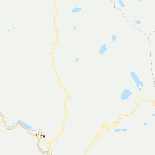
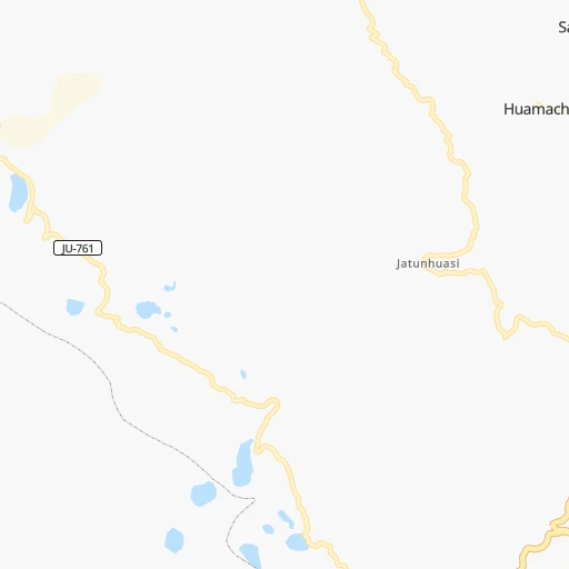
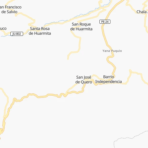
Roadmap (route) to go from Estación Chuquipita to Pativilca detailed above, you can also see the course layout on the map.
While doing trip Estación Chuquipita - Pativilca by car, the calculated route ends at a distance , or more straight.
Distance and duration of the route between Estación Chuquipita and Pativilca
Calculation of distance and route from Pativilca to Estación Chuquipita :
270.6437.3 km8h43mn
Continue onto LM-917 0h27mn 13.7 kmTurn left onto LM-917 0h18mn 9.0 kmKeep right onto LM-120 0h11mn 6.0 kmTurn right onto LM-120 1h11mn 56.6 kmTurn sharp right onto PE-22A 1h59mn 49.1 kmTurn sharp left onto Carretera Central 0h11mn 8.2 kmTurn left 0h3mn 1.5 kmTurn sharp left onto Carretera Central 0h18mn 15.4 kmKeep left 0h1mn 1.2 kmTurn left onto PE-22C 0h1mn 682 mTurn right 0h1mn 231 mTurn left onto Carretera Central 1h52mn 46.2 kmTurn slight right onto Avenida Nicolás Ayllón 0h15mn 16.1 kmKeep left onto Carretera Central 0h1mn 641 mTurn right 0h0mn 38 mTurn left onto Avenida Pedro Ruiz Gallo 0h0mn 144 mTurn left 0h1mn 252 mContinue onto Avenida Pedro Ruiz Gallo 0h0mn 260 mTurn right and take PE-22 toward Cajamarquilla, Autopista Ramiro Prialé 0h9mn 10.7 kmKeep left toward PE-1N 0h0mn 12 mKeep right 1h23mn 100.3 kmContinue onto Carretera Panamericana Norte 1h35mn 45.3 kmKeep right 0h0mn 142 mKeep right 0h0mn 66 mTurn slight right 0h5mn 5.0 kmKeep left onto Avenida San Martín 0h1mn 1.4 kmTurn slight left onto Antigua Panamericana Norte 0h5mn 5.6 kmTurn right 0h0mn 88 mTurn left onto Carretera Panamericana Norte 1h33mn 42.3 kmMake a U-turn onto Panamericana Norte 0h1mn 1.2 kmKeep right 0h0mn 159 mArrive at destination 0h0mn 0 m
Travel from Estación Chuquipita (Lima region) to a selection of major cities.
Distances from Estación Chuquipita to biggest cities in Junin
Other major cities in country :
- Tumbes [24], 109,223 inhabitants. 1,079 km
- Talara [20], 99,074 inhabitants. 1,033 km
- Chosica [15], 88,606 inhabitants. 108 km
- Huaraz [02], 86,934 inhabitants. 344 km
- Cerro de Pasco [19], 78,910 inhabitants. 165 km
- Chulucanas [20], 68,835 inhabitants. 916 km
- San Isidro [15], 68,309 inhabitants. 145 km
- Huaral [15], 62,174 inhabitants. 174 km
- Pisco [11], 61,869 inhabitants. 191 km
- Catacaos [20], 57,304 inhabitants. 932 km
- Paita [20], 56,151 inhabitants. 977 km
- Abancay [03], 55,111 inhabitants. 355 km
- Huacho [15], 54,545 inhabitants. 231 km
- Moquegua [18], 54,517 inhabitants. 770 km
- Ilo [18], 53,476 inhabitants. 779 km
- Tingo Maria [10], 53,177 inhabitants. 309 km
- Jaen [06], 52,493 inhabitants. 784 km
Route from Pativilca to major cities (Peru).
- Distance Pativilca Lima171 km
- Distance Pativilca Arequipa927 km
- Distance Pativilca Callao168 km
- Distance Pativilca Trujillo319 km
- Distance Pativilca Chiclayo492 km
- Distance Pativilca Iquitos921 km
- Distance Pativilca Huancayo320 km
- Distance Pativilca Piura689 km
- Distance Pativilca Chimbote200 km
- Distance Pativilca Cusco707 km
- Distance Pativilca Pucallpa439 km
- Distance Pativilca Tacna1,149 km
- Distance Pativilca Ica436 km
- Distance Pativilca Juliaca986 km
- Distance Pativilca Sullana720 km
- Distance Pativilca Chincha Alta351 km
- Distance Pativilca Huanuco189 km
- Distance Pativilca Ayacucho475 km
- Distance Pativilca Cajamarca401 km
- Distance Pativilca Puno1,017 km
Nearest cities to Estación Chuquipita :
- Lima, 7,737,002 inhabitants. 142 km
- Callao, 813,264 inhabitants. 152 km
- Huancayo, 376,657 inhabitants. 56 km
- Chimbote, 316,966 inhabitants. 455 km
- Santiago de Surco, 251,648 inhabitants. 140 km
- Ica, 246,844 inhabitants. 224 km
- Chincha Alta, 153,076 inhabitants. 157 km
- Huanuco, 147,959 inhabitants. 243 km
- Ayacucho, 140,033 inhabitants. 204 km
- Chosica, 88,606 inhabitants. 108 km
- Huaraz, 86,934 inhabitants. 344 km
- Cerro de Pasco, 78,910 inhabitants. 165 km
- San Isidro, 68,309 inhabitants. 145 km
- Huaral, 62,174 inhabitants. 174 km
- Pisco, 61,869 inhabitants. 191 km
- Abancay, 55,111 inhabitants. 355 km
- Huacho, 54,545 inhabitants. 231 km
- Tingo Maria, 53,177 inhabitants. 309 km
- Tarma, 51,350 inhabitants. 71 km
- Barranca, 46,290 inhabitants. 266 km
- Huancavelica, 41,576 inhabitants. 115 km
- La Oroya, 33,345 inhabitants. 63 km
- Imperial, 32,344 inhabitants. 131 km
- Nuevo Imperial, 32,344 inhabitants. 131 km
- Chaupimarca, 28,666 inhabitants. 201 km
- Paramonga, 27,631 inhabitants. 278 km
- Chancay, 26,958 inhabitants. 177 km
- Hualmay, 26,658 inhabitants. 233 km
- San Vicente de Canete, 25,517 inhabitants. 134 km
- Nazca, 23,556 inhabitants. 320 km
- Yanacancha, 23,175 inhabitants. 226 km
- Jauja, 21,057 inhabitants. 40 km
- Huaura, 20,723 inhabitants. 233 km
- Huanta, 18,627 inhabitants. 187 km
- Andahuaylas, 17,444 inhabitants. 310 km
- Mala, 17,260 inhabitants. 119 km
- Huarmey, 16,172 inhabitants. 346 km
- San Clemente, 15,815 inhabitants. 185 km
- Satipo, 15,532 inhabitants. 148 km
- Junin, 15,320 inhabitants. 104 km
- Santa Maria, 14,853 inhabitants. 128 km
- San Ramon, 14,708 inhabitants. 111 km
- Supe, 13,719 inhabitants. 259 km
- Pativilca, 13,583 inhabitants. 271 km
- Chilca, 12,884 inhabitants. 122 km
- Oxapampa, 12,000 inhabitants. 168 km
- Puerto Supe, 11,450 inhabitants. 261 km
- Concepcion, 11,330 inhabitants. 47 km
- Villa Tupac Amaru, 11,159 inhabitants. 190 km
- Puquio, 10,491 inhabitants. 341 km
Location Estación Chuquipita (Junin) :
| Country flag |  |
| Location | Estación Chuquipita |
| State | Junin |
| County | |
| Country | Peru |
| Country code / ISO 2 | PE |
| Latitude | -12.0568700 |
| Longitude | -75.7205400 |
| Altitude | 0 meters |
| Time zone | America/Lima |
Location Pativilca (Lima region) :
| Country flag | |
| Location | Pativilca |
| State | Lima region |
| County | Barranca |
| Country | Peru |
| Country code / ISO 2 | PE |
| Latitude | -10.7000000 |
| Longitude | -77.7833300 |
| Altitude | 0 meters |
| Time zone | America/Lima |

